Donora is a borough in Washington County, Pennsylvania, United States, approximately 20 miles (32 km) south of Pittsburgh on the Monongahela River.
Donora was incorporated in 1901. It got its name from a combination of William Donner and Nora Mellon, banker Andrew W. Mellon’s wife. The borough’s nickname is “The Home of Champions”, mainly because of the large number of famous athletes who have called Donora their home, including Baseball Hall of Fame outfielders Stan Musial and Ken Griffey Jr.
Agriculture, coal-mining, steel-making, wire-making, and other industries were conducted in Donora early in its history.
In 1910, 8,174 people lived in Donora; in 1920, 14,131; and in 1940, 13,180. According to U.S. census figures, the population was 4,781 in 2010 and 4,558 in 2020.
Donora is a Rust Belt location which has lost most of its industrial capacity.
It is in the “Mon valley”, 5 miles (8.0 km) downriver from Charleroi and 25 miles (40 km) upstream of Braddock.
| Name: | Donora borough |
|---|---|
| LSAD Code: | 21 |
| LSAD Description: | borough (suffix) |
| State: | Pennsylvania |
| County: | Washington County |
| Total Area: | 2.05 sq mi (5.30 km²) |
| Land Area: | 1.90 sq mi (4.92 km²) |
| Water Area: | 0.15 sq mi (0.38 km²) |
| Total Population: | 4,569 |
| Population Density: | 2,406.00/sq mi (928.72/km²) |
| ZIP code: | 15033 |
| Area code: | 724 |
| FIPS code: | 4219536 |
| Website: | www.DonoraBoro.org |
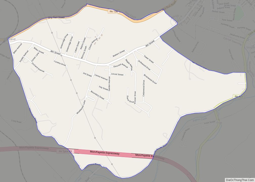
Online Interactive Map
Click on ![]() to view map in "full screen" mode.
to view map in "full screen" mode.
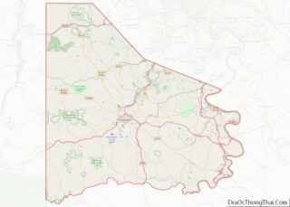
Donora location map. Where is Donora borough?


History
In 1794, the Whiskey Insurrectionists held several meetings at Fells Church, approximately 1 mile (1.6 km) east of Donora.
A trolley line opened in Donora on December 15, 1901, linking First and McKean, and Fifteenth Street and Meldon. It was extended in 1911 to Black Diamond to connect to the Charleroi to Pittsburgh interurban trolley. The line was abandoned on May 5, 1953.
The town was the scene of the infamous Donora Smog of 1948. Between October 26 and October 31, 1948, an air inversion trapped industrial effluent (air pollution) from the American Steel and Wire plant and Donora Zinc Works. During this spike in air pollution, 6,000 people suffered respiratory problems and extreme discomfort. “In three days, 20 people died… After the inversion lifted, another 50 died, including Lukasz Musial, the father of baseball great Stan Musial. Hundreds more finished the rest of their lives with damaged lungs and hearts.” The incident made national headlines. Today, the town is home to the Donora Smog Museum which tells the impact of the Donora Smog on the air quality standards enacted by the federal government in subsequent years.
Donora’s neighborhood known as “Cement City” is listed on the National Register of Historic Places. The homes built in the neighborhood are completely made out of pre-formed and poured concrete. This structural building technique was championed by Thomas Edison, and was used by neighborhoods throughout the United States. The homes were built as employee housing for the Donora Wire and Steel Mill in the early 1900s.
The Cement City Historic District and Webster Donora Bridge are also listed on the National Register of Historic Places.
The Borough of Donora and surrounding areas have also been utilized as the filming location for several films and television shows. Most recently, the American television drama series American Rust starring Jeff Daniels and Maura Tierney used several sites in Donora for filming.
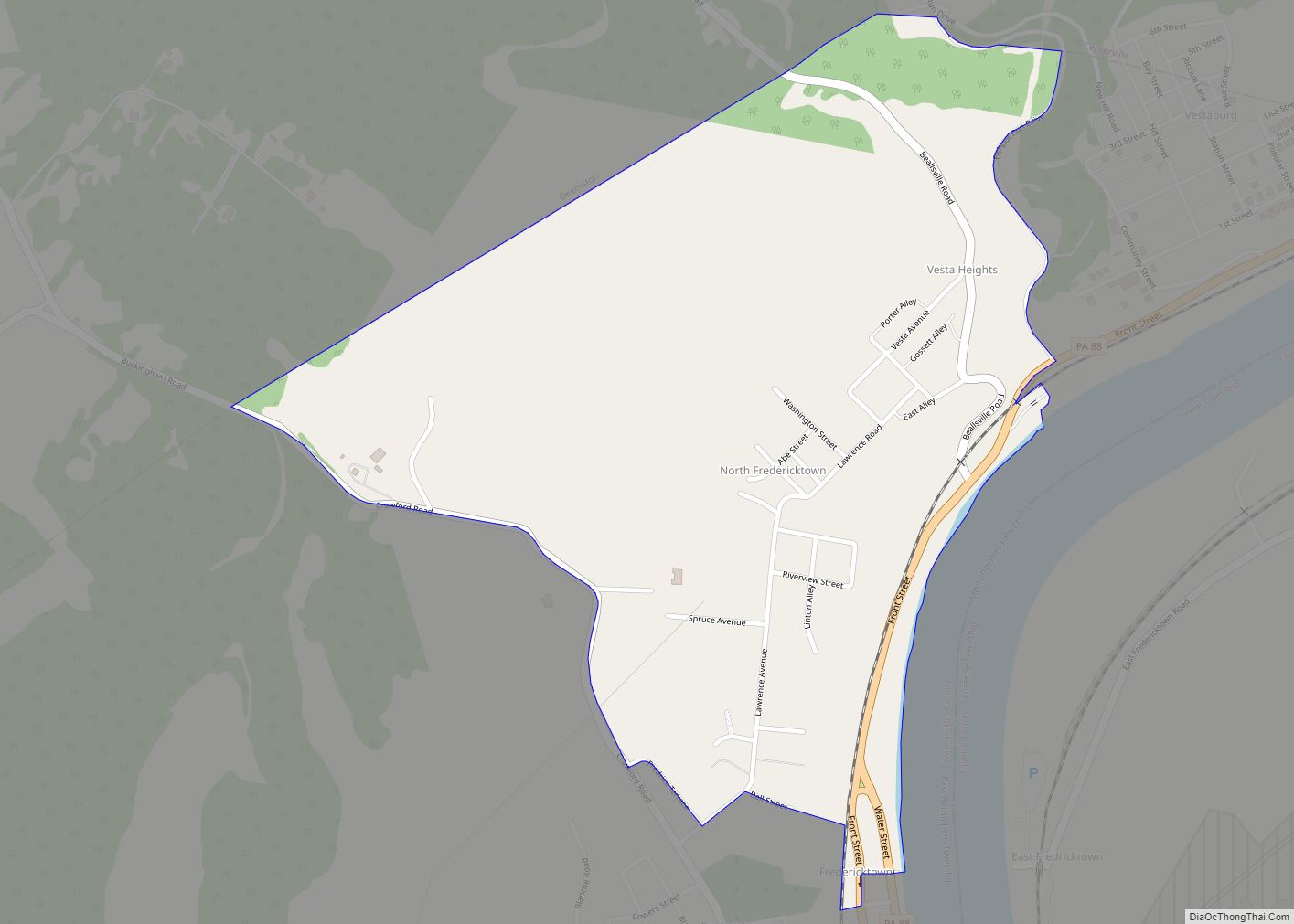
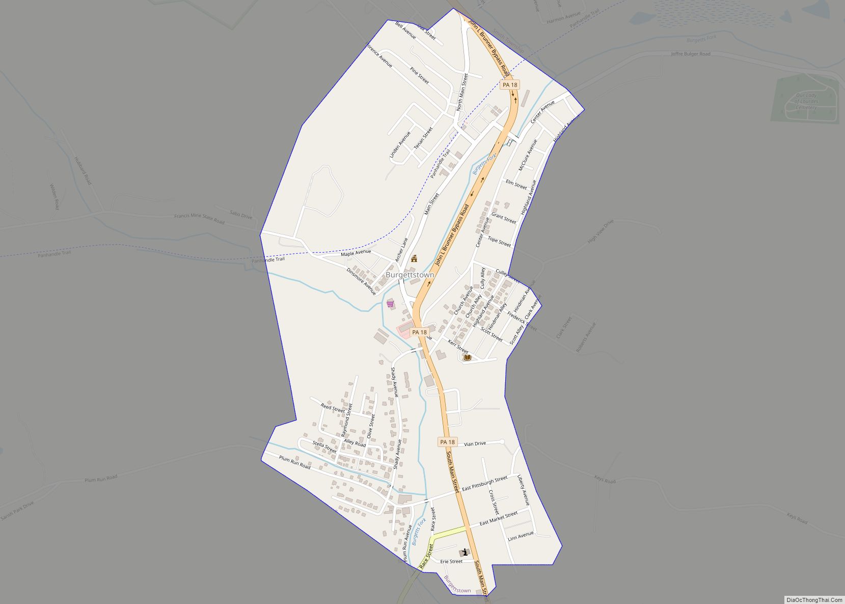
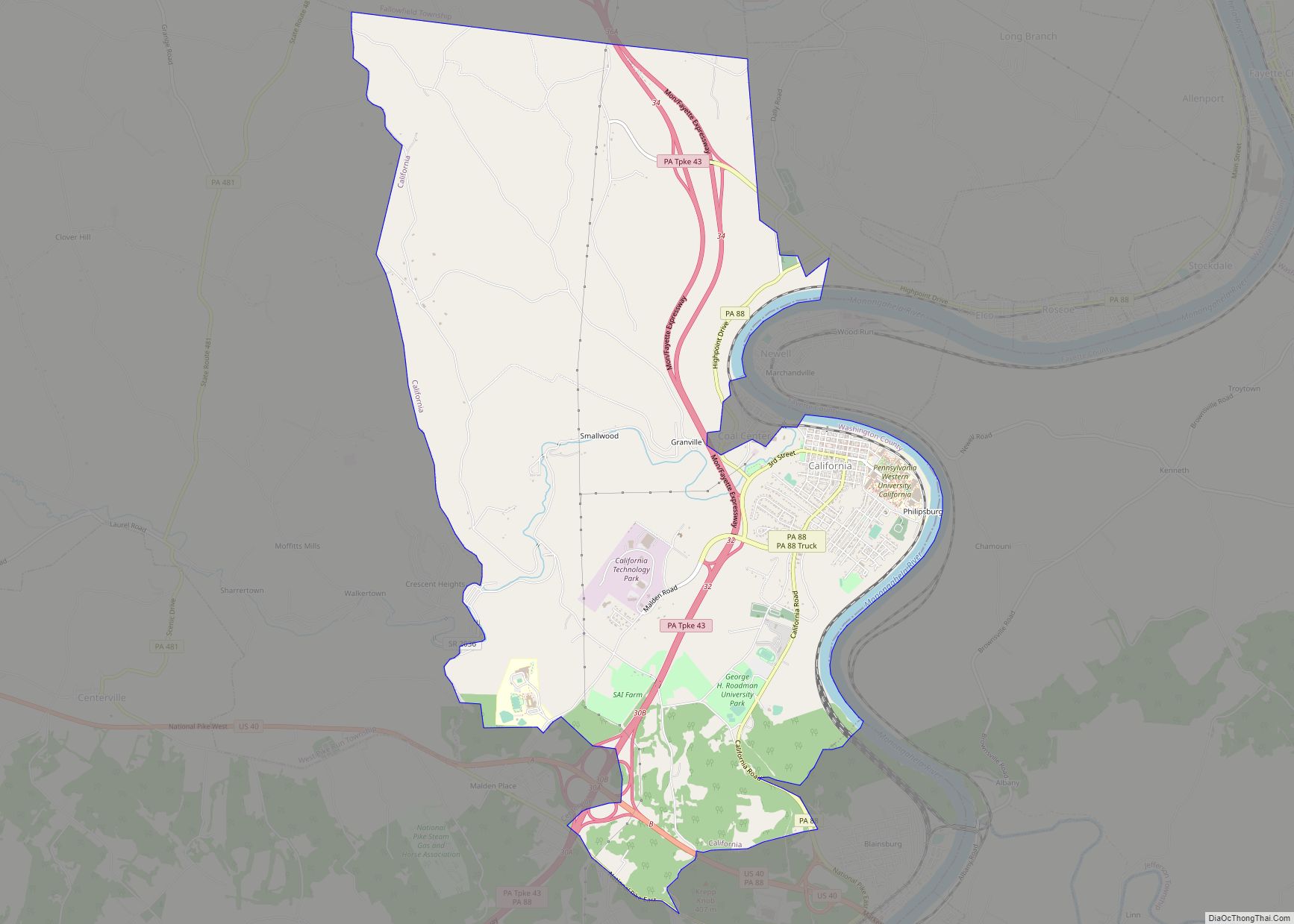
Donora Road Map

Donora city Satellite Map
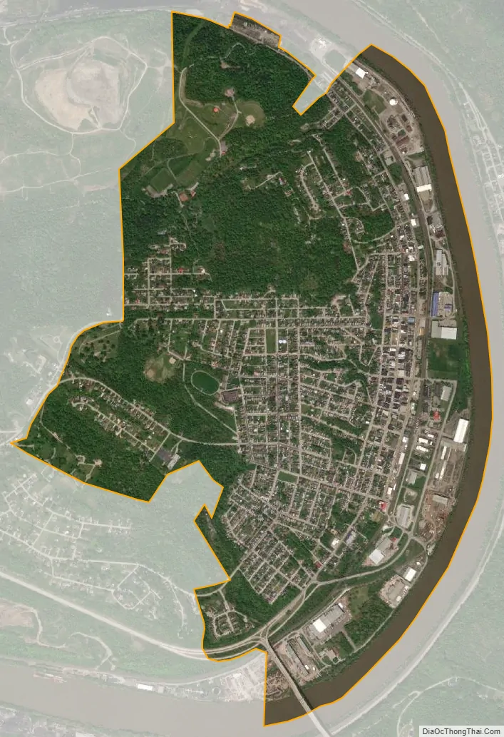
Geography
Donora is located at 40°10′33″N 79°51′41″W / 40.17583°N 79.86139°W / 40.17583; -79.86139 (40.175879, −79.861264).
According to the United States Census Bureau, the borough has a total area of 2.0 square miles (5.2 km), of which 1.9 square miles (4.9 km) is land and 0.2 square miles (0.5 km) (7.32%) is water.
Climate
The climate in this area is characterized by hot, humid summers and generally mild to cool winters. According to the Köppen Climate Classification system, Donora has a humid subtropical climate, abbreviated “Cfa” on climate maps.
See also
Map of Pennsylvania State and its subdivision:- Adams
- Allegheny
- Armstrong
- Beaver
- Bedford
- Berks
- Blair
- Bradford
- Bucks
- Butler
- Cambria
- Cameron
- Carbon
- Centre
- Chester
- Clarion
- Clearfield
- Clinton
- Columbia
- Crawford
- Cumberland
- Dauphin
- Delaware
- Elk
- Erie
- Fayette
- Forest
- Franklin
- Fulton
- Greene
- Huntingdon
- Indiana
- Jefferson
- Juniata
- Lackawanna
- Lancaster
- Lawrence
- Lebanon
- Lehigh
- Luzerne
- Lycoming
- Mc Kean
- Mercer
- Mifflin
- Monroe
- Montgomery
- Montour
- Northampton
- Northumberland
- Perry
- Philadelphia
- Pike
- Potter
- Schuylkill
- Snyder
- Somerset
- Sullivan
- Susquehanna
- Tioga
- Union
- Venango
- Warren
- Washington
- Wayne
- Westmoreland
- Wyoming
- York
- Alabama
- Alaska
- Arizona
- Arkansas
- California
- Colorado
- Connecticut
- Delaware
- District of Columbia
- Florida
- Georgia
- Hawaii
- Idaho
- Illinois
- Indiana
- Iowa
- Kansas
- Kentucky
- Louisiana
- Maine
- Maryland
- Massachusetts
- Michigan
- Minnesota
- Mississippi
- Missouri
- Montana
- Nebraska
- Nevada
- New Hampshire
- New Jersey
- New Mexico
- New York
- North Carolina
- North Dakota
- Ohio
- Oklahoma
- Oregon
- Pennsylvania
- Rhode Island
- South Carolina
- South Dakota
- Tennessee
- Texas
- Utah
- Vermont
- Virginia
- Washington
- West Virginia
- Wisconsin
- Wyoming