East Pittsburgh is a borough in Allegheny County, Pennsylvania, United States, approximately 11 miles (18 km) southeast of the confluence of the Monongahela and the Allegheny rivers at Pittsburgh. The population in 1900 stood at 2,883, and in 1910, at 5,615. As of the 2020 census, the borough population was 1,927, having fallen from 6,079 in 1940. George Westinghouse erected large works there which supplied equipment to the great power plants at Niagara Falls and for the elevated and rapid-transit systems of New York. Nearby, the George Westinghouse Bridge over Turtle Creek is a prominent fixture in the area, which is very near the borough of Braddock.
| Name: | East Pittsburgh borough |
|---|---|
| LSAD Code: | 21 |
| LSAD Description: | borough (suffix) |
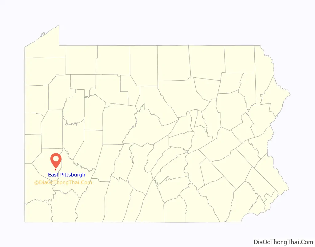
| State: | Pennsylvania |
| County: | Allegheny County |
| Total Area: | 0.39 sq mi (1.00 km²) |
| Land Area: | 0.39 sq mi (1.00 km²) |
| Water Area: | 0.00 sq mi (0.00 km²) |
| Total Population: | 1,927 |
| Population Density: | 4,966.49/sq mi (1,919.58/km²) |
| FIPS code: | 4221712 |
| Website: | eastpittsburghboro.com |
Online Interactive Map
Click on ![]() to view map in "full screen" mode.
to view map in "full screen" mode.
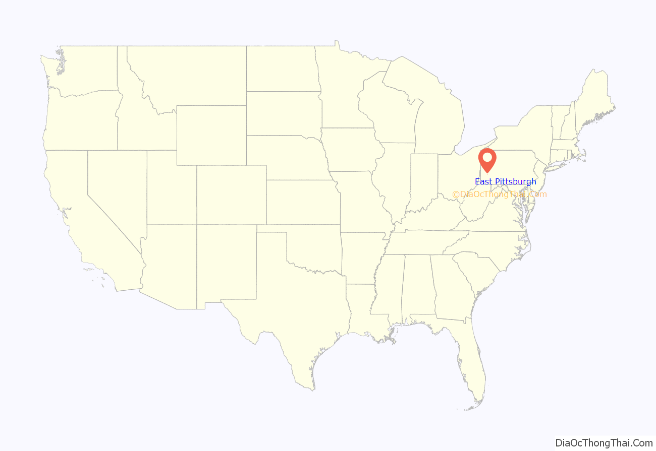
East Pittsburgh location map. Where is East Pittsburgh borough?
History
The first transmission from pioneering radio station KDKA (AM) was made from East Pittsburgh on November 2, 1920.
In 1928, an early demonstration of a new broadcast medium was conducted at the Westinghouse laboratories in East Pittsburgh. Eventually, the new medium became known as television. Vladimir Zworykin worked for Westinghouse Electric Corporation at that time. He lived in the borough of Wilkinsburg. The Westinghouse Works became the Research and Business Park “Keystone Commons” in 1989.
The East Pittsburgh School District included Bessemer Avenue Elementary School and East Pittsburgh Junior/Senior High School on Howard Street. East Pittsburgh’s school colors were green and white, and its athletic teams were called the Shamrocks.
During the 1970–71 school year, the East Pittsburgh School District was merged, by court order, with the neighboring Turtle Creek School District for the following year. In the final basketball game between the two rivals, the Shamrocks defeated Turtle Creek, 65–63.
East Pittsburgh Road Map
East Pittsburgh city Satellite Map

Geography
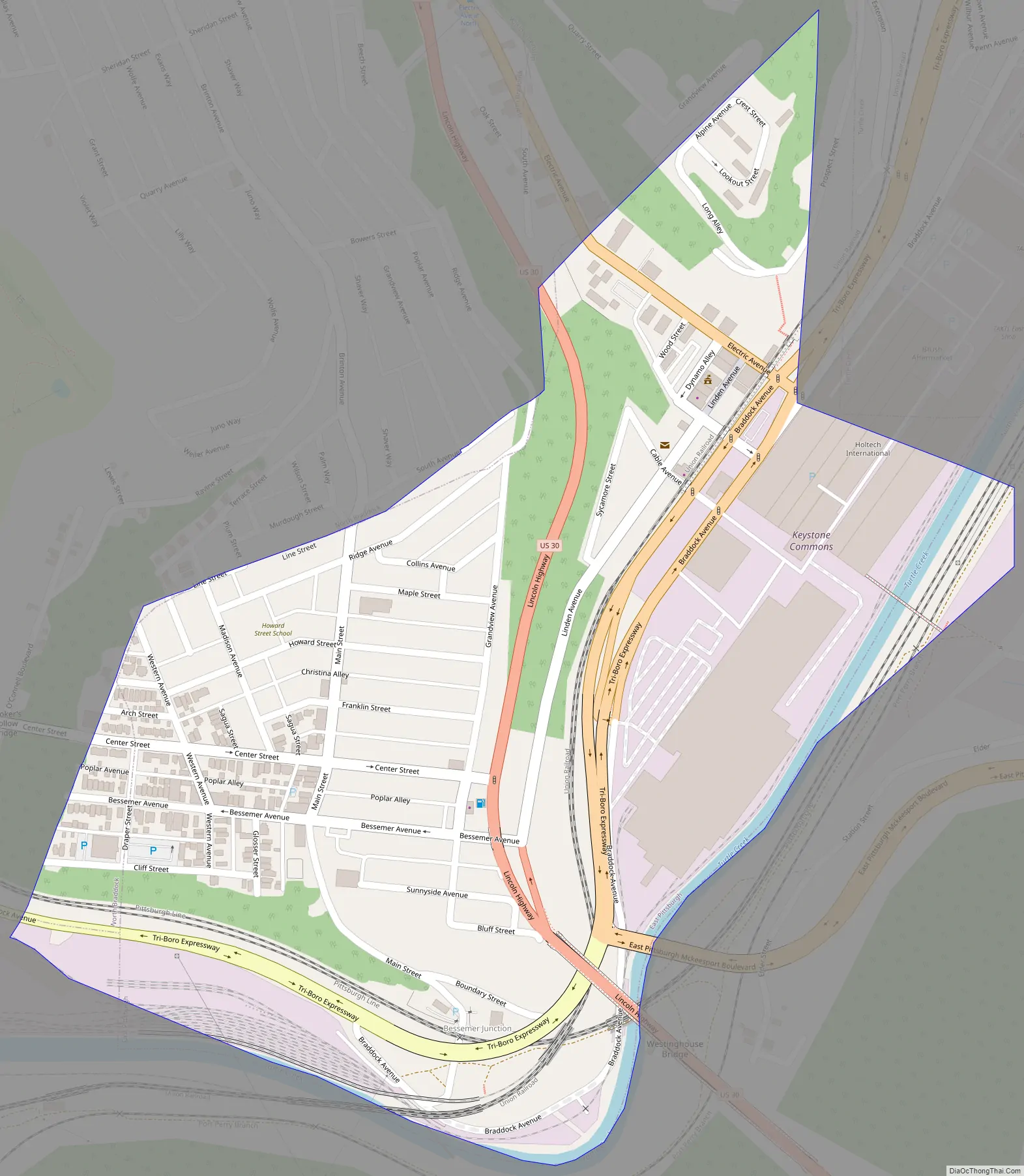
East Pittsburgh is located at 40°23′49″N 79°50′24″W / 40.39694°N 79.84000°W / 40.39694; -79.84000 (40.396969, -79.839869). The borough is about 3 miles (4.8 km) outside of the easternmost city limits of Pittsburgh and about 10 miles (16 km) from city hall in Pittsburgh.
According to the United States Census Bureau, the borough has a total area of 0.4 square miles (1.0 km), all land.
See also
Map of Pennsylvania State and its subdivision:- Adams
- Allegheny
- Armstrong
- Beaver
- Bedford
- Berks
- Blair
- Bradford
- Bucks
- Butler
- Cambria
- Cameron
- Carbon
- Centre
- Chester
- Clarion
- Clearfield
- Clinton
- Columbia
- Crawford
- Cumberland
- Dauphin
- Delaware
- Elk
- Erie
- Fayette
- Forest
- Franklin
- Fulton
- Greene
- Huntingdon
- Indiana
- Jefferson
- Juniata
- Lackawanna
- Lancaster
- Lawrence
- Lebanon
- Lehigh
- Luzerne
- Lycoming
- Mc Kean
- Mercer
- Mifflin
- Monroe
- Montgomery
- Montour
- Northampton
- Northumberland
- Perry
- Philadelphia
- Pike
- Potter
- Schuylkill
- Snyder
- Somerset
- Sullivan
- Susquehanna
- Tioga
- Union
- Venango
- Warren
- Washington
- Wayne
- Westmoreland
- Wyoming
- York
- Alabama
- Alaska
- Arizona
- Arkansas
- California
- Colorado
- Connecticut
- Delaware
- District of Columbia
- Florida
- Georgia
- Hawaii
- Idaho
- Illinois
- Indiana
- Iowa
- Kansas
- Kentucky
- Louisiana
- Maine
- Maryland
- Massachusetts
- Michigan
- Minnesota
- Mississippi
- Missouri
- Montana
- Nebraska
- Nevada
- New Hampshire
- New Jersey
- New Mexico
- New York
- North Carolina
- North Dakota
- Ohio
- Oklahoma
- Oregon
- Pennsylvania
- Rhode Island
- South Carolina
- South Dakota
- Tennessee
- Texas
- Utah
- Vermont
- Virginia
- Washington
- West Virginia
- Wisconsin
- Wyoming


