Edgeworth is a borough in Allegheny County, Pennsylvania, United States, along the Ohio River, approximately 14 miles (22.5 km) northwest of Pittsburgh. The population was 1,669 at the 2020 census. Edgeworth is the wealthiest town in Pennsylvania.
| Name: | Edgeworth borough |
|---|---|
| LSAD Code: | 21 |
| LSAD Description: | borough (suffix) |
| State: | Pennsylvania |
| County: | Allegheny County |
| Total Area: | 1.67 sq mi (4.33 km²) |
| Land Area: | 1.50 sq mi (3.88 km²) |
| Water Area: | 0.17 sq mi (0.45 km²) |
| Total Population: | 1,669 |
| Population Density: | 1,115.64/sq mi (430.66/km²) |
| FIPS code: | 4222576 |
Online Interactive Map
Click on ![]() to view map in "full screen" mode.
to view map in "full screen" mode.
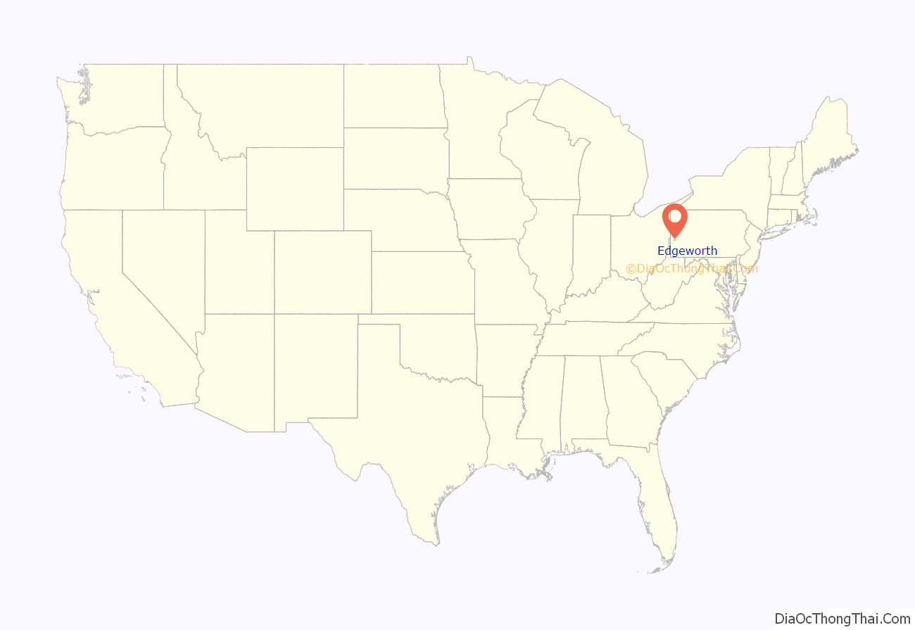
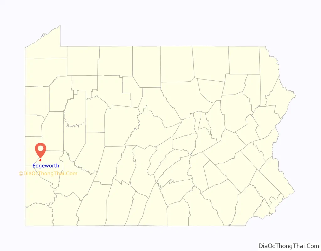
Edgeworth location map. Where is Edgeworth borough?
History
Edgeworth was established in 1904 and took its name from the Edgeworth Seminary, a school for girls that had relocated there in 1836. The school was named in honor of Irish writer Maria Edgeworth. From early on, it became a bedroom community for managers and professionals escaping the industrial pollution of Pittsburgh.
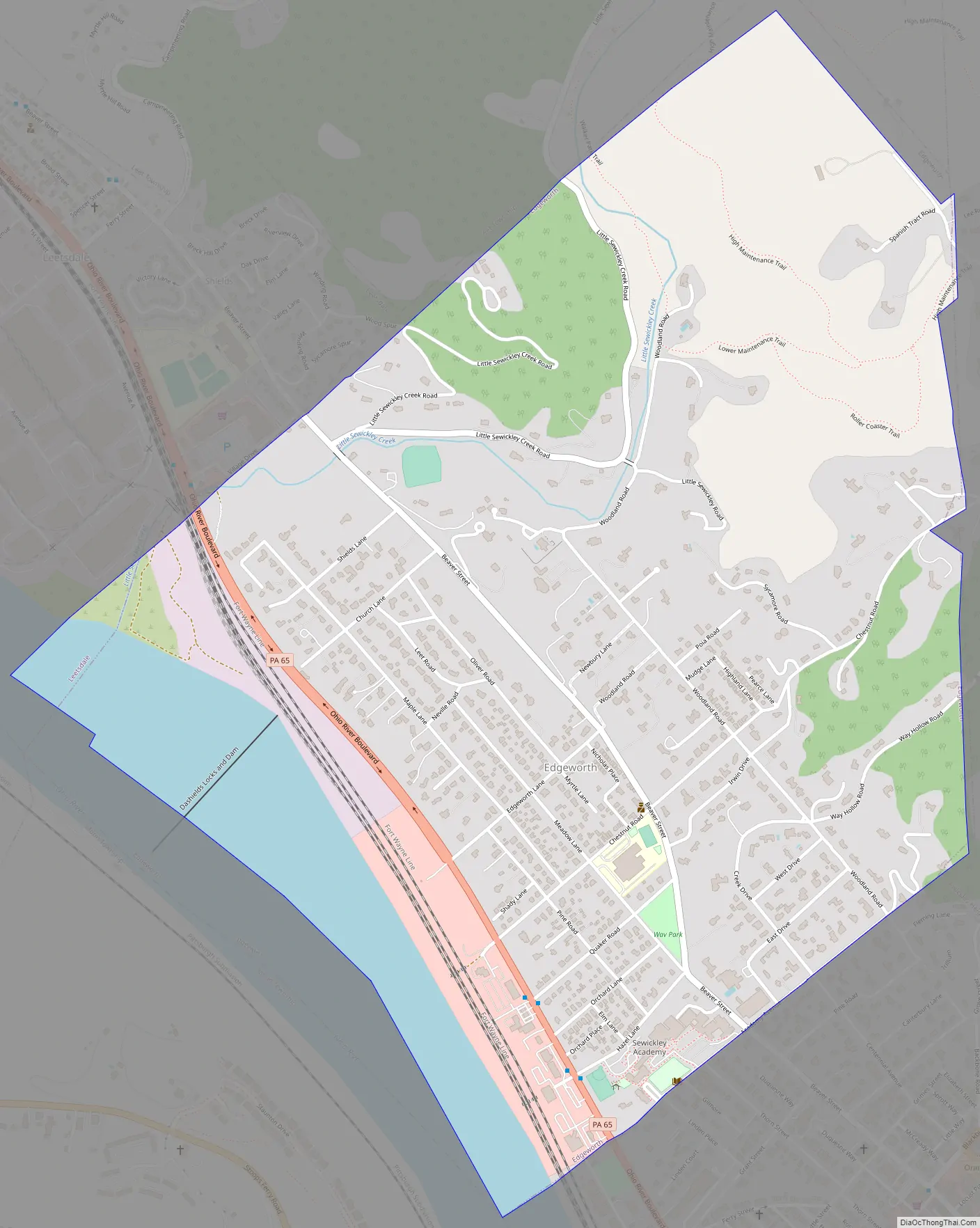
Edgeworth Road Map
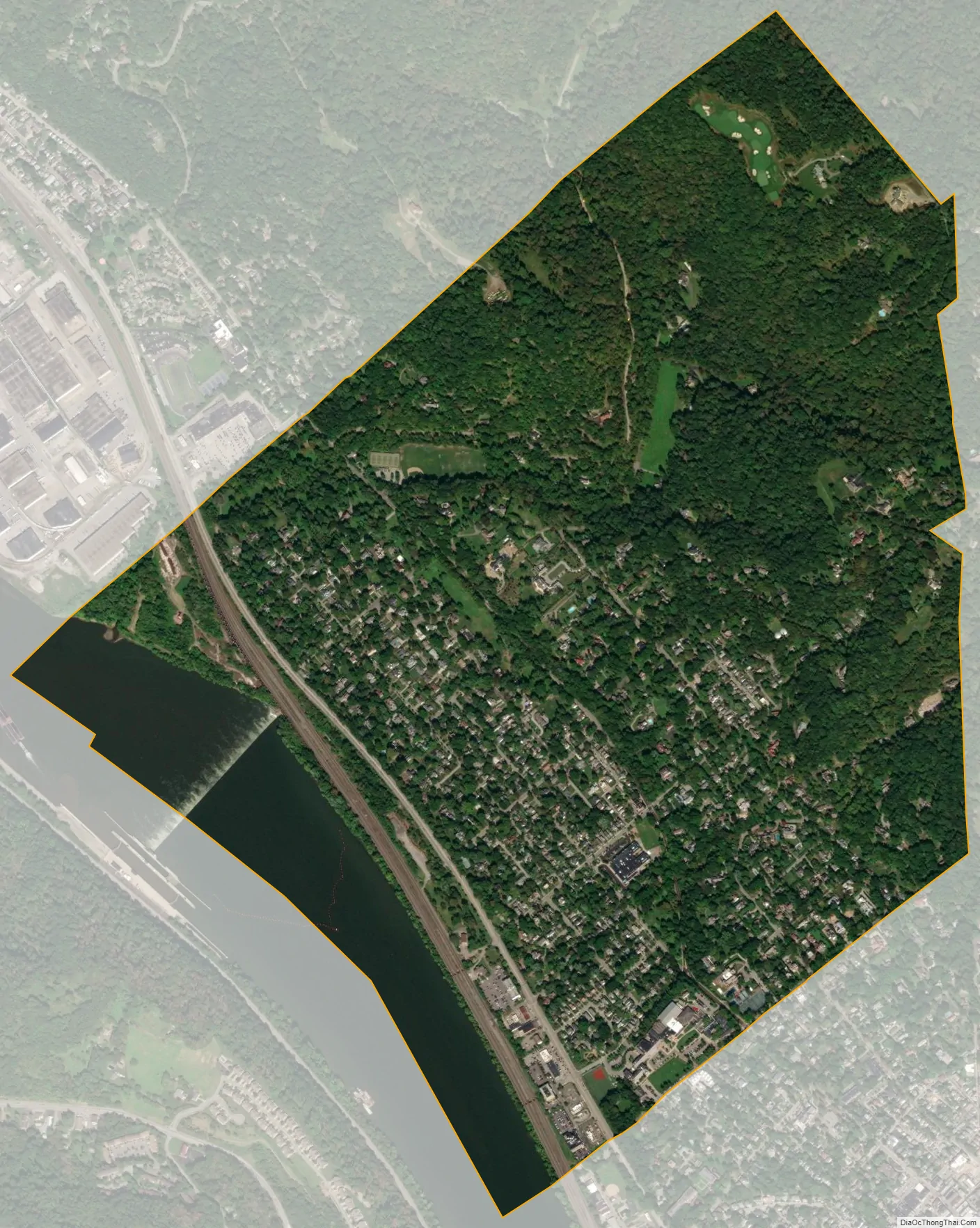
Edgeworth city Satellite Map
Geography
Edgeworth is located at 40°33′3″N 80°11′33″W / 40.55083°N 80.19250°W / 40.55083; -80.19250 (40.550767, -80.192590).
According to the United States Census Bureau, the borough has a total area of 1.7 square miles (4.4 km), of which 1.5 square miles (3.9 km) is land and 0.2 square miles (0.52 km), or 10.00%, is water.
See also
Map of Pennsylvania State and its subdivision:- Adams
- Allegheny
- Armstrong
- Beaver
- Bedford
- Berks
- Blair
- Bradford
- Bucks
- Butler
- Cambria
- Cameron
- Carbon
- Centre
- Chester
- Clarion
- Clearfield
- Clinton
- Columbia
- Crawford
- Cumberland
- Dauphin
- Delaware
- Elk
- Erie
- Fayette
- Forest
- Franklin
- Fulton
- Greene
- Huntingdon
- Indiana
- Jefferson
- Juniata
- Lackawanna
- Lancaster
- Lawrence
- Lebanon
- Lehigh
- Luzerne
- Lycoming
- Mc Kean
- Mercer
- Mifflin
- Monroe
- Montgomery
- Montour
- Northampton
- Northumberland
- Perry
- Philadelphia
- Pike
- Potter
- Schuylkill
- Snyder
- Somerset
- Sullivan
- Susquehanna
- Tioga
- Union
- Venango
- Warren
- Washington
- Wayne
- Westmoreland
- Wyoming
- York
- Alabama
- Alaska
- Arizona
- Arkansas
- California
- Colorado
- Connecticut
- Delaware
- District of Columbia
- Florida
- Georgia
- Hawaii
- Idaho
- Illinois
- Indiana
- Iowa
- Kansas
- Kentucky
- Louisiana
- Maine
- Maryland
- Massachusetts
- Michigan
- Minnesota
- Mississippi
- Missouri
- Montana
- Nebraska
- Nevada
- New Hampshire
- New Jersey
- New Mexico
- New York
- North Carolina
- North Dakota
- Ohio
- Oklahoma
- Oregon
- Pennsylvania
- Rhode Island
- South Carolina
- South Dakota
- Tennessee
- Texas
- Utah
- Vermont
- Virginia
- Washington
- West Virginia
- Wisconsin
- Wyoming


