Elizabeth is a borough in Allegheny County, Pennsylvania, United States, on the east bank of the Monongahela River, where Pennsylvania Route 51 crosses, 15 miles (24 km) upstream (south) of Pittsburgh and close to the county line. The population was 1,398 at the 2020 census. The borough of Elizabeth is entirely contained within the 15037 USPS ZIP code. The local school district is the Elizabeth Forward School District. The borough is home to neighborhoods Walker Heights and Town Hill. Elizabeth Borough is the birthplace of Town Hill Hockey established in 1978.
| Name: | Elizabeth borough |
|---|---|
| LSAD Code: | 21 |
| LSAD Description: | borough (suffix) |
| State: | Pennsylvania |
| County: | Allegheny County |
| Total Area: | 0.42 sq mi (1.07 km²) |
| Land Area: | 0.34 sq mi (0.89 km²) |
| Water Area: | 0.07 sq mi (0.19 km²) |
| Total Population: | 1,398 |
| Population Density: | 4,075.80/sq mi (1,574.26/km²) |
| ZIP code: | 15037 |
| Area code: | 412 |
| FIPS code: | 4222992 |
| Website: | elizabethpa.net |
Online Interactive Map
Click on ![]() to view map in "full screen" mode.
to view map in "full screen" mode.
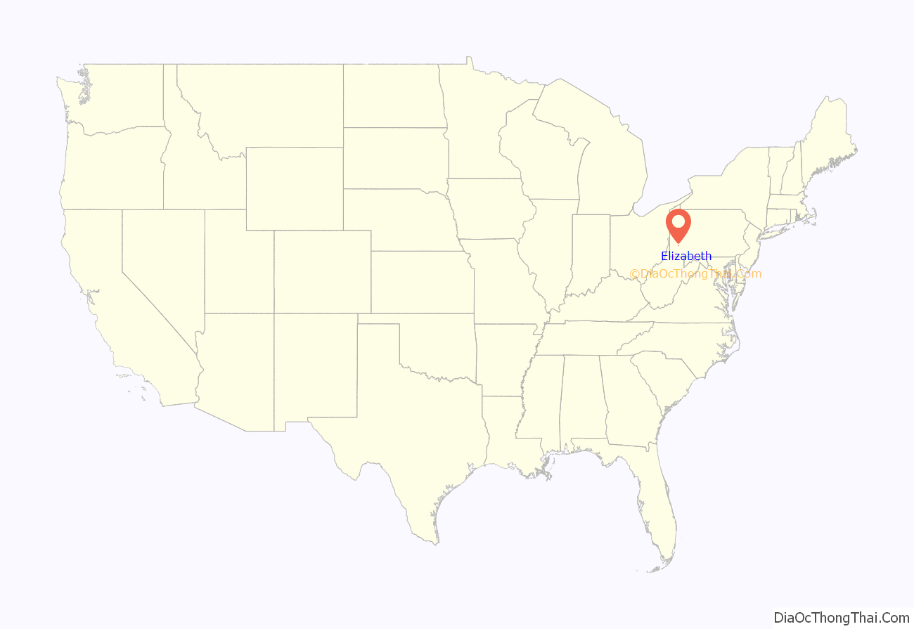
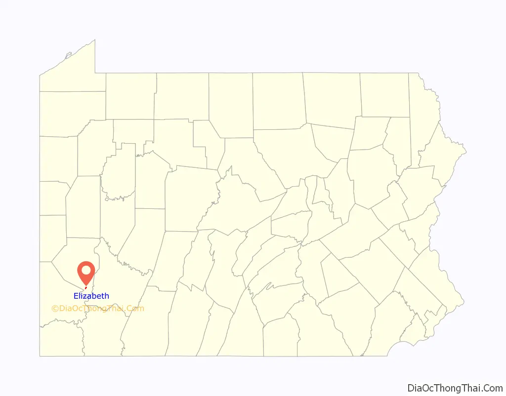
Elizabeth location map. Where is Elizabeth borough?
History
- 1787 – Elizabeth (formerly Elizabeth Town) was founded by Samuel Mackay, Colonel Stephen Bayard and his wife Elizabeth Mackay Bayard (for whom the town was named).
- 1788 – Elizabeth was one of the first seven townships organized by Allegheny County; the others being Moon, St. Clair, Mifflin, Versailles, Plum, and Pitt. The original Elizabeth Township comprised the entire triangle of land between the Monongahela and Youghiogheny Rivers. In addition to present-day Elizabeth Borough and Elizabeth Township, this also included areas which are now Forward Township, Lincoln Borough, Port Vue Borough, Liberty Borough, the City of Glassport, and the Tenth Ward of the City of McKeesport.
- 1803 – The keelboat used for the first stages of the Lewis and Clark Expedition was built in Elizabeth. (This claim is disputed by the city of Pittsburgh, which makes a similar claim. See references below.)
- 1834 – On April 2, 1834, a charter was issued to incorporate the Town of Elizabeth as a borough.
- 1869 – Forward Township and Lincoln Township were separated from Elizabeth Township.
Early industry
Among the earliest industries of Elizabeth were glass making, safe making, steamboat building, and ship building. Steamboats were built and repaired at O’Neil & Company from as early as 1895, and the Elizabeth Marine Ways operated between at least 1898 to 1925. The town had two coal inclines in 1876, the O’Neil and Company Coal Incline on pool 1, and the Lobb’s Run Incline on pool 2.
Nike missile site
From 1956 to 1963, Elizabeth was the location of a Nike anti-aircraft missile site (40°15′17″N 79°57′59″W / 40.25472°N 79.96639°W / 40.25472; -79.96639).
Churches
- Allen Chapel A.M.E. Church
- Bethesda United Presbyterian Church Of Elizabeth
- Elizabeth Baptist Church
- Elizabeth United Methodist Church
- Elizabeth Wesleyan Church
- First Presbyterian Church Of Elizabeth – founded 1851
Elizabeth Road Map
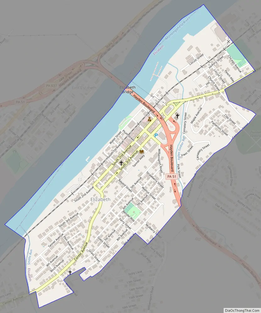
Elizabeth city Satellite Map

Geography
Elizabeth is located at 40°16′16″N 79°53′11″W / 40.27111°N 79.88639°W / 40.27111; -79.88639 (40.271189, -79.886347).
According to the United States Census Bureau, the borough has a total area of 0.4 square miles (1.0 km), of which 0.3 square miles (0.78 km) is land and 0.1 square miles (0.26 km), or 14.63%, is water.
See also
Map of Pennsylvania State and its subdivision:- Adams
- Allegheny
- Armstrong
- Beaver
- Bedford
- Berks
- Blair
- Bradford
- Bucks
- Butler
- Cambria
- Cameron
- Carbon
- Centre
- Chester
- Clarion
- Clearfield
- Clinton
- Columbia
- Crawford
- Cumberland
- Dauphin
- Delaware
- Elk
- Erie
- Fayette
- Forest
- Franklin
- Fulton
- Greene
- Huntingdon
- Indiana
- Jefferson
- Juniata
- Lackawanna
- Lancaster
- Lawrence
- Lebanon
- Lehigh
- Luzerne
- Lycoming
- Mc Kean
- Mercer
- Mifflin
- Monroe
- Montgomery
- Montour
- Northampton
- Northumberland
- Perry
- Philadelphia
- Pike
- Potter
- Schuylkill
- Snyder
- Somerset
- Sullivan
- Susquehanna
- Tioga
- Union
- Venango
- Warren
- Washington
- Wayne
- Westmoreland
- Wyoming
- York
- Alabama
- Alaska
- Arizona
- Arkansas
- California
- Colorado
- Connecticut
- Delaware
- District of Columbia
- Florida
- Georgia
- Hawaii
- Idaho
- Illinois
- Indiana
- Iowa
- Kansas
- Kentucky
- Louisiana
- Maine
- Maryland
- Massachusetts
- Michigan
- Minnesota
- Mississippi
- Missouri
- Montana
- Nebraska
- Nevada
- New Hampshire
- New Jersey
- New Mexico
- New York
- North Carolina
- North Dakota
- Ohio
- Oklahoma
- Oregon
- Pennsylvania
- Rhode Island
- South Carolina
- South Dakota
- Tennessee
- Texas
- Utah
- Vermont
- Virginia
- Washington
- West Virginia
- Wisconsin
- Wyoming


