Etna is a borough of Allegheny County, Pennsylvania, United States, located across the Allegheny River from Pittsburgh. In 2019, Etna was recognized as the first ever Ecodistrict.
Etna was named after the volcano Mount Etna, an allusion to blast furnaces, steel mills, galvanized-pipe works, and other manufacturers located there. Historically it was a steel town with a blue collar community. The Isabella Furnace of Carnegie Steel was located in Etna, operating until 1953.
In 1900, 5,384 people lived in Etna. In 1940, 7,223 lived there. The population was 3,437 at the 2020 census.
| Name: | Etna borough |
|---|---|
| LSAD Code: | 21 |
| LSAD Description: | borough (suffix) |
| State: | Pennsylvania |
| County: | Allegheny County |
| Total Area: | 0.80 sq mi (2.07 km²) |
| Land Area: | 0.74 sq mi (1.91 km²) |
| Water Area: | 0.07 sq mi (0.17 km²) |
| Total Population: | 3,437 |
| Population Density: | 4,669.84/sq mi (1,803.06/km²) |
| ZIP code: | 15223 |
| FIPS code: | 4224160 |
| Website: | www.etnaborough.org |
Online Interactive Map
Click on ![]() to view map in "full screen" mode.
to view map in "full screen" mode.
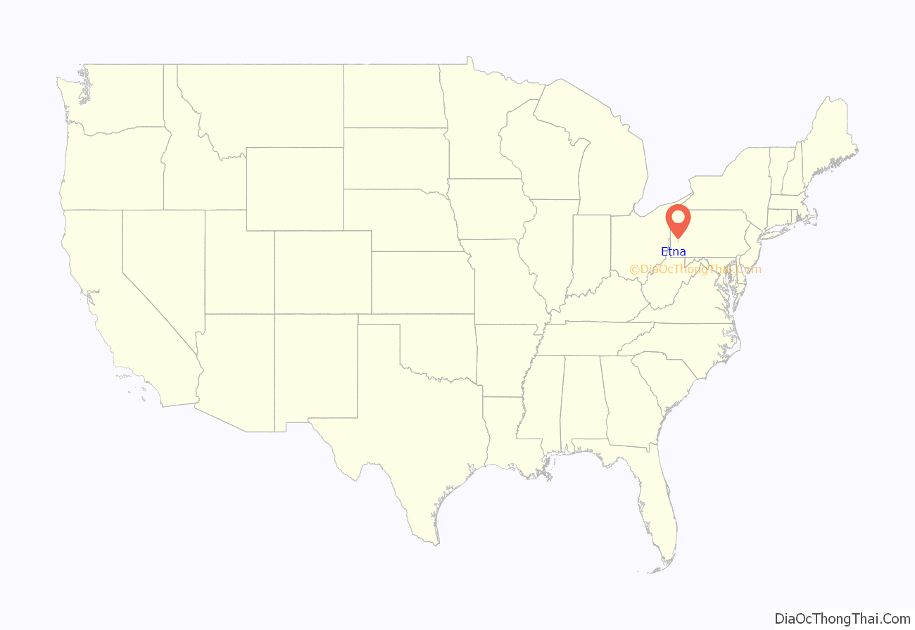
Etna location map. Where is Etna borough?
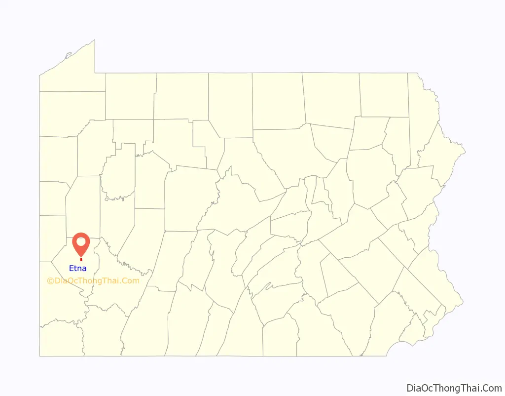
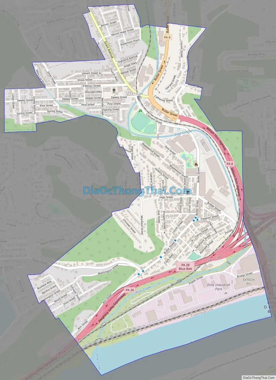
Etna Road Map
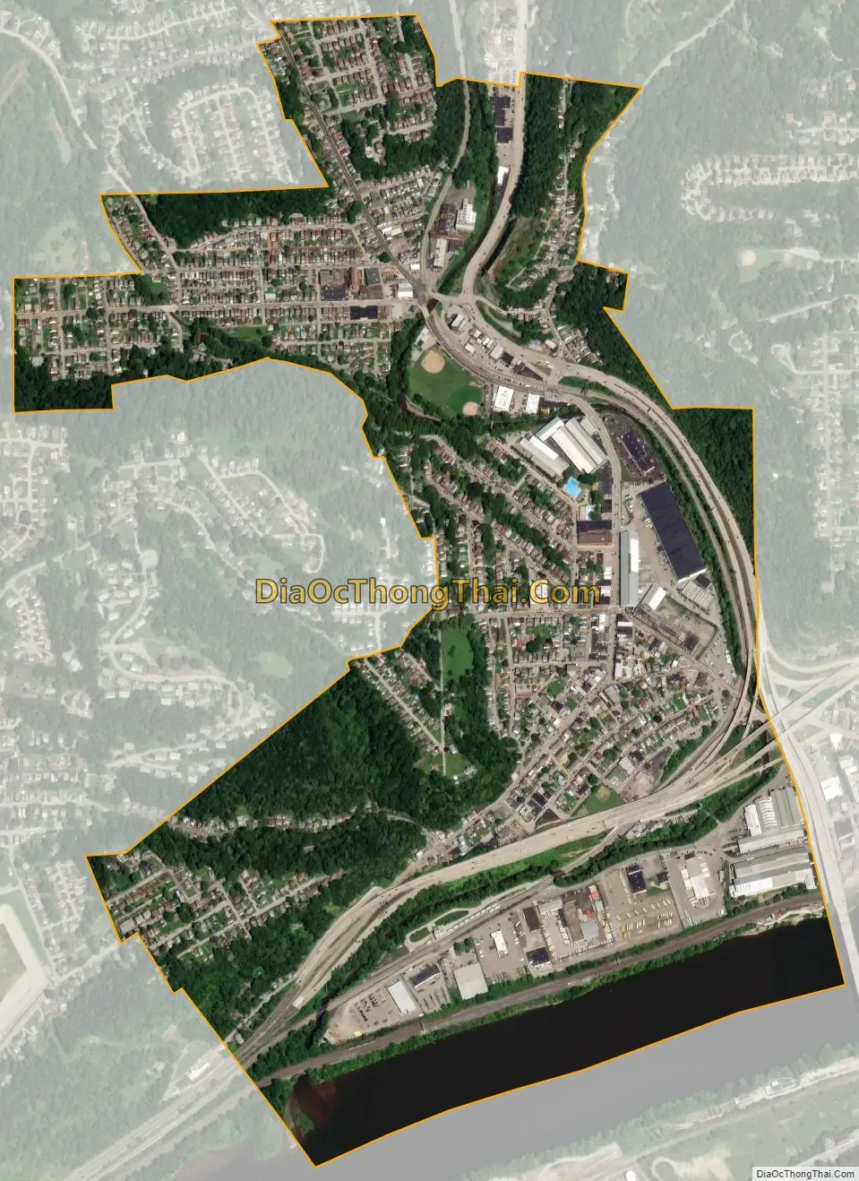
Etna city Satellite Map
Geography
Etna is located at 40°30′1″N 79°56′56″W / 40.50028°N 79.94889°W / 40.50028; -79.94889 (40.500338, -79.948755). It is located off Route 28 from Pittsburgh and borders the Allegheny river and Pine Creek.
According to the United States Census Bureau, the borough has a total area of 0.8 square miles (2.1 km), all land.
See also
Map of Pennsylvania State and its subdivision:- Adams
- Allegheny
- Armstrong
- Beaver
- Bedford
- Berks
- Blair
- Bradford
- Bucks
- Butler
- Cambria
- Cameron
- Carbon
- Centre
- Chester
- Clarion
- Clearfield
- Clinton
- Columbia
- Crawford
- Cumberland
- Dauphin
- Delaware
- Elk
- Erie
- Fayette
- Forest
- Franklin
- Fulton
- Greene
- Huntingdon
- Indiana
- Jefferson
- Juniata
- Lackawanna
- Lancaster
- Lawrence
- Lebanon
- Lehigh
- Luzerne
- Lycoming
- Mc Kean
- Mercer
- Mifflin
- Monroe
- Montgomery
- Montour
- Northampton
- Northumberland
- Perry
- Philadelphia
- Pike
- Potter
- Schuylkill
- Snyder
- Somerset
- Sullivan
- Susquehanna
- Tioga
- Union
- Venango
- Warren
- Washington
- Wayne
- Westmoreland
- Wyoming
- York
- Alabama
- Alaska
- Arizona
- Arkansas
- California
- Colorado
- Connecticut
- Delaware
- District of Columbia
- Florida
- Georgia
- Hawaii
- Idaho
- Illinois
- Indiana
- Iowa
- Kansas
- Kentucky
- Louisiana
- Maine
- Maryland
- Massachusetts
- Michigan
- Minnesota
- Mississippi
- Missouri
- Montana
- Nebraska
- Nevada
- New Hampshire
- New Jersey
- New Mexico
- New York
- North Carolina
- North Dakota
- Ohio
- Oklahoma
- Oregon
- Pennsylvania
- Rhode Island
- South Carolina
- South Dakota
- Tennessee
- Texas
- Utah
- Vermont
- Virginia
- Washington
- West Virginia
- Wisconsin
- Wyoming


