Export is a borough in Westmoreland County, Pennsylvania, United States, surrounded entirely by the Municipality of Murrysville. The population was 893 at the 2020 census.
| Name: | Export borough |
|---|---|
| LSAD Code: | 21 |
| LSAD Description: | borough (suffix) |
| State: | Pennsylvania |
| County: | Westmoreland County |
| Incorporated: | November 11, 1911 |
| Elevation: | 1,027 ft (313 m) |
| Total Area: | 0.40 sq mi (1.04 km²) |
| Land Area: | 0.40 sq mi (1.04 km²) |
| Water Area: | 0.00 sq mi (0.00 km²) |
| Total Population: | 894 |
| Population Density: | 2,218.36/sq mi (855.66/km²) |
| Area code: | 724, 878 |
| FIPS code: | 4224432 |
| Website: | exportpennsylvania.com |
Online Interactive Map
Click on ![]() to view map in "full screen" mode.
to view map in "full screen" mode.
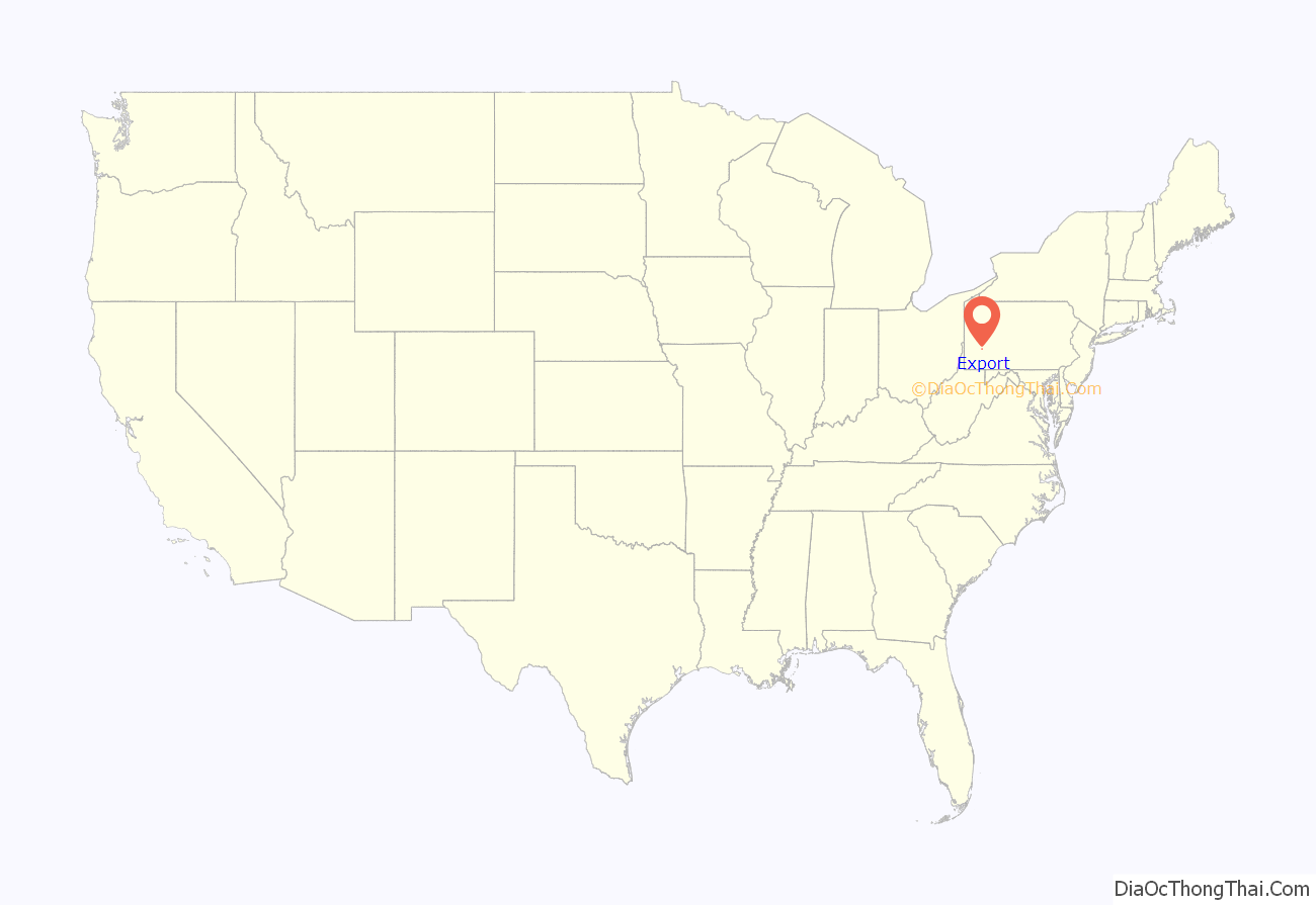
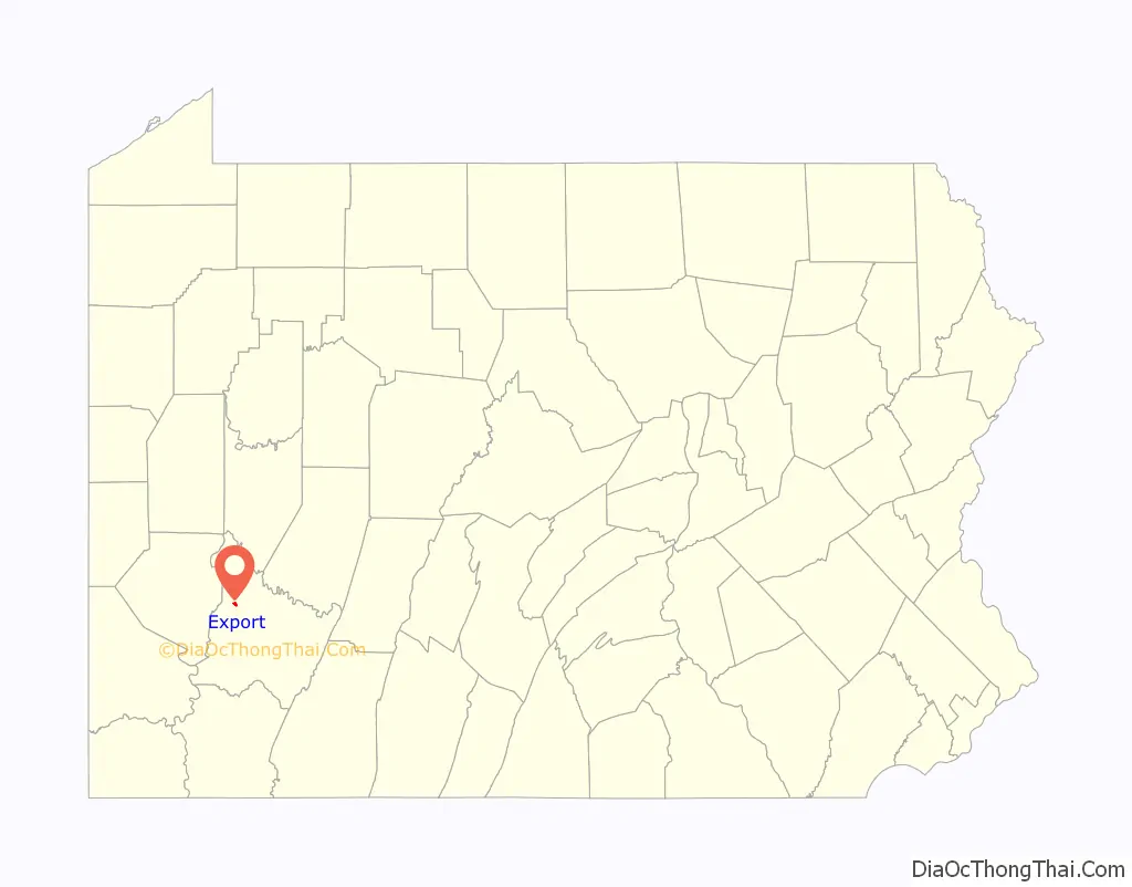
Export location map. Where is Export borough?
History
A post office called Export has been in operation since 1892. The borough was so named because coal was once mined in and exported from the town.
The remains of Westmoreland Coal Company’s South (#2) mine are still visible behind the District Court building in Export. A 2018 project unearthed three entrances. A fourth entrance was discovered in January 2019 by Michael Mance and Lou Corsi.
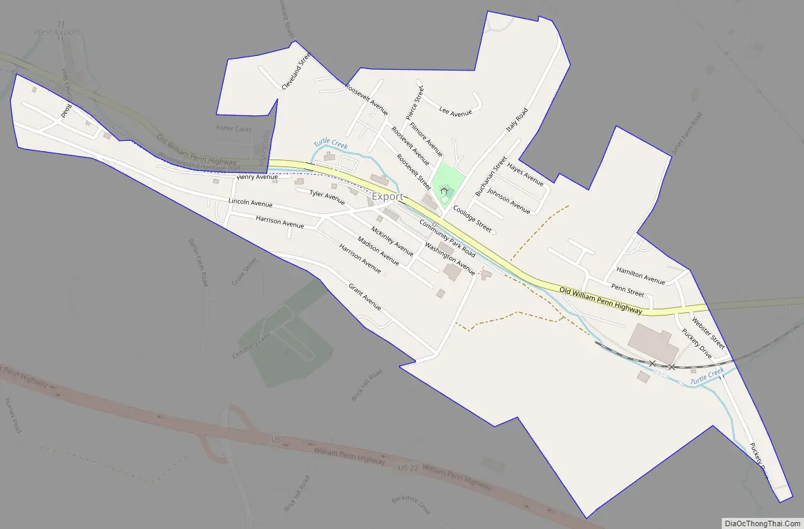
Export Road Map
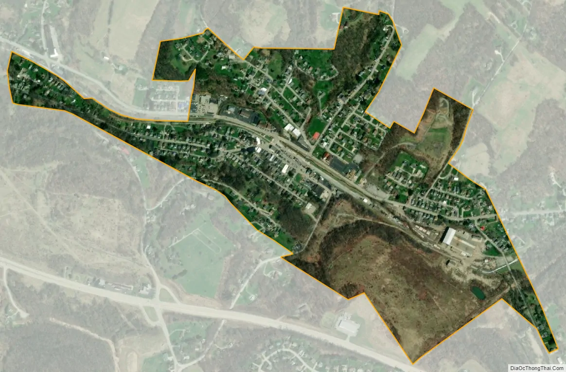
Export city Satellite Map
Geography
Export is located at 40°24′59″N 79°37′25″W / 40.41639°N 79.62361°W / 40.41639; -79.62361 (40.416251, -79.623679).
According to the United States Census Bureau, the borough has a total area of 0.4 square miles (1.0 km), all land.
See also
Map of Pennsylvania State and its subdivision:- Adams
- Allegheny
- Armstrong
- Beaver
- Bedford
- Berks
- Blair
- Bradford
- Bucks
- Butler
- Cambria
- Cameron
- Carbon
- Centre
- Chester
- Clarion
- Clearfield
- Clinton
- Columbia
- Crawford
- Cumberland
- Dauphin
- Delaware
- Elk
- Erie
- Fayette
- Forest
- Franklin
- Fulton
- Greene
- Huntingdon
- Indiana
- Jefferson
- Juniata
- Lackawanna
- Lancaster
- Lawrence
- Lebanon
- Lehigh
- Luzerne
- Lycoming
- Mc Kean
- Mercer
- Mifflin
- Monroe
- Montgomery
- Montour
- Northampton
- Northumberland
- Perry
- Philadelphia
- Pike
- Potter
- Schuylkill
- Snyder
- Somerset
- Sullivan
- Susquehanna
- Tioga
- Union
- Venango
- Warren
- Washington
- Wayne
- Westmoreland
- Wyoming
- York
- Alabama
- Alaska
- Arizona
- Arkansas
- California
- Colorado
- Connecticut
- Delaware
- District of Columbia
- Florida
- Georgia
- Hawaii
- Idaho
- Illinois
- Indiana
- Iowa
- Kansas
- Kentucky
- Louisiana
- Maine
- Maryland
- Massachusetts
- Michigan
- Minnesota
- Mississippi
- Missouri
- Montana
- Nebraska
- Nevada
- New Hampshire
- New Jersey
- New Mexico
- New York
- North Carolina
- North Dakota
- Ohio
- Oklahoma
- Oregon
- Pennsylvania
- Rhode Island
- South Carolina
- South Dakota
- Tennessee
- Texas
- Utah
- Vermont
- Virginia
- Washington
- West Virginia
- Wisconsin
- Wyoming


