Fox Chapel is a borough in Allegheny County, Pennsylvania, United States, and is an affluent suburb of Pittsburgh located 6 miles (10 km) northeast of downtown. The borough continually garners national prominence and is home to many of the wealthiest and most powerful patriciate families in Pennsylvania.
The population was 5,343 as of the 2020 census.
| Name: | Fox Chapel borough |
|---|---|
| LSAD Code: | 21 |
| LSAD Description: | borough (suffix) |
| State: | Pennsylvania |
| County: | Allegheny County |
| Total Area: | 7.88 sq mi (20.40 km²) |
| Land Area: | 7.87 sq mi (20.38 km²) |
| Water Area: | 0.01 sq mi (0.02 km²) |
| Total Population: | 5,343 |
| Population Density: | 679.08/sq mi (262.21/km²) |
| Area code: | 412 and 724 |
| FIPS code: | 4227120 |
| Website: | www.fox-chapel.pa.us |
Online Interactive Map
Click on ![]() to view map in "full screen" mode.
to view map in "full screen" mode.
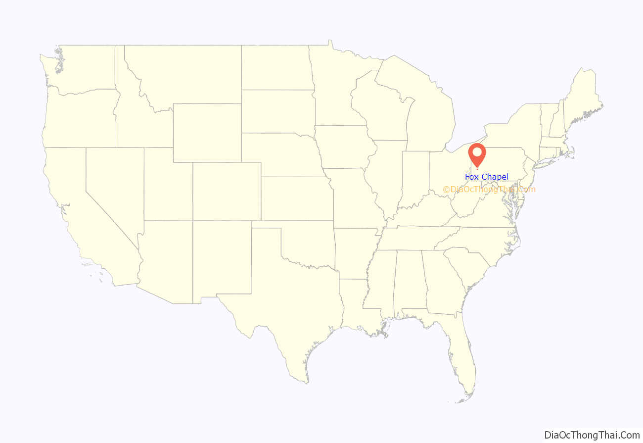
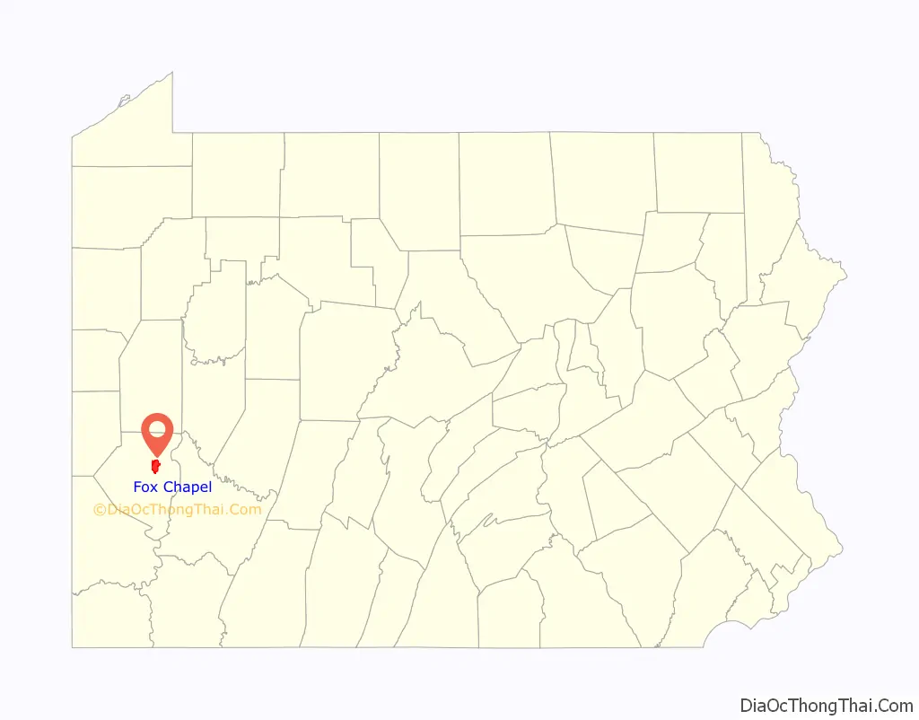
Fox Chapel location map. Where is Fox Chapel borough?
History
In the 1750s, the Seneca Indians lived in the region. Until the late 18th century, American Indian tribes hunted and fished in the general Fox Chapel area. Virginia and Pennsylvania both claimed the territory. The dispute was not resolved until after the Revolutionary War. Today, less than 1% of its population is Native American.
Settlement
The first white settler in the area was James Powers, who arrived around 1790. The first schoolhouse was on Squaw Run, where it stood in 1806. It was a log house. A church was organized in 1818 on Kittanning Road, on a branch of Pine Creek. The Pittsburgh Field Club opened in 1882, and the Fox Chapel Golf Club opened in 1919. Shady Side Academy opened its senior school on property that was formerly two large farms, a gift from prominent Pittsburgh industrialist Wallace H. Rowe, in 1922. A nearby private estate, built in 1928 by steel industrialist James E. Lewis, became the academy’s standalone middle school campus in 1958.
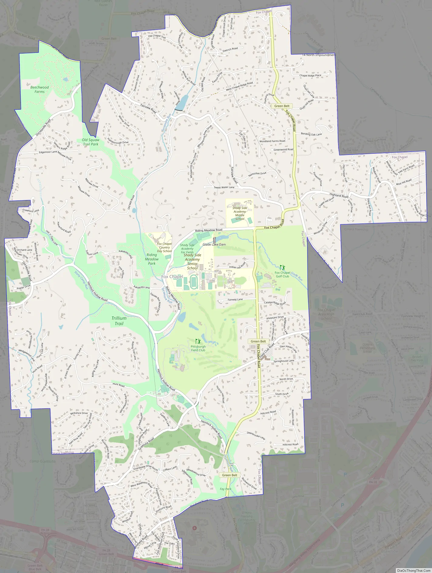
Fox Chapel Road Map
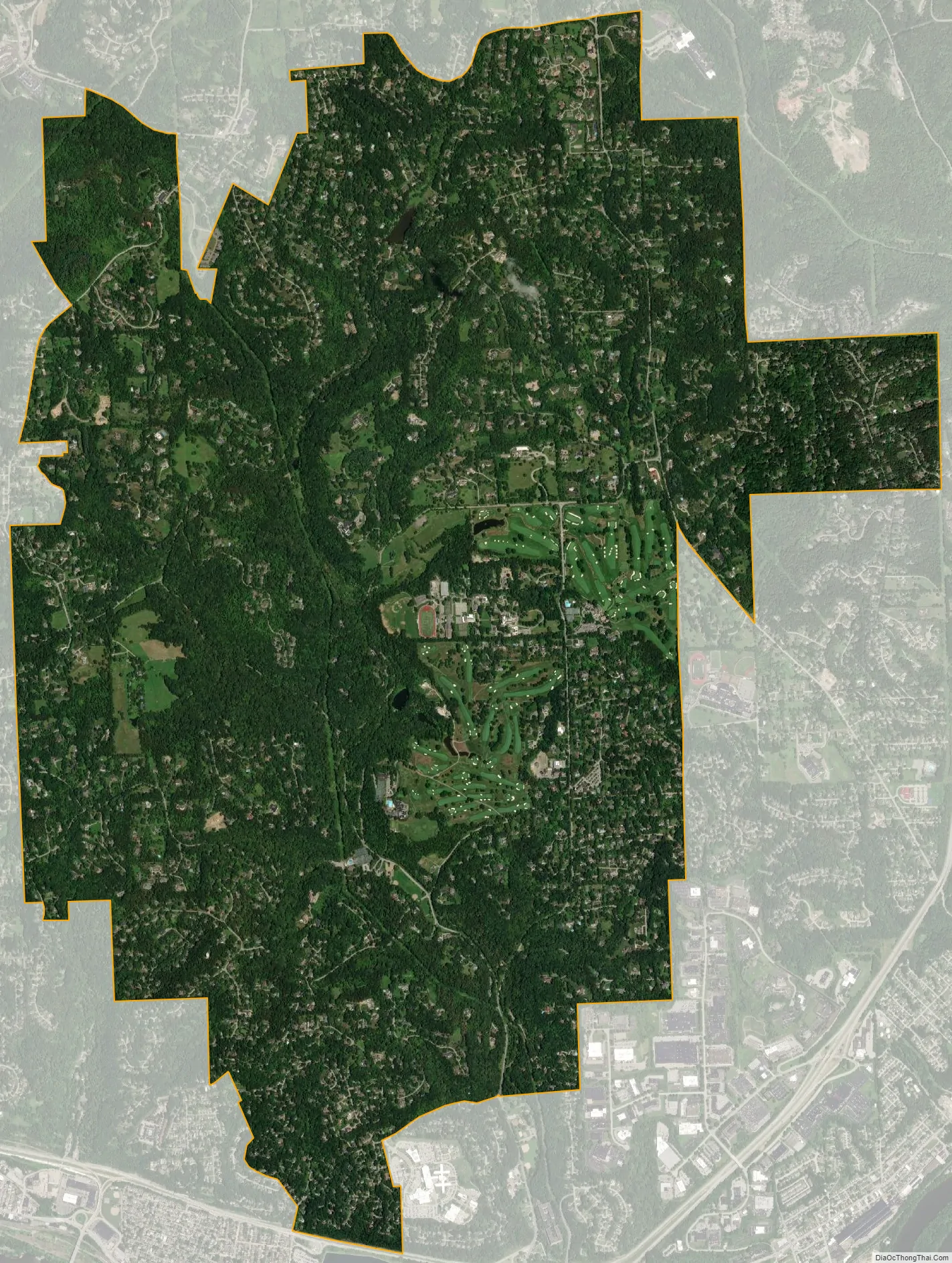
Fox Chapel city Satellite Map
Geography
Fox Chapel is located at 40°30′46″N 79°53′35″W / 40.51278°N 79.89306°W / 40.51278; -79.89306 (40.512668, -79.892975).
According to the United States Census Bureau, the borough has a total area of 7.8 square miles (20 km), of which 0.13% is water.
See also
Map of Pennsylvania State and its subdivision:- Adams
- Allegheny
- Armstrong
- Beaver
- Bedford
- Berks
- Blair
- Bradford
- Bucks
- Butler
- Cambria
- Cameron
- Carbon
- Centre
- Chester
- Clarion
- Clearfield
- Clinton
- Columbia
- Crawford
- Cumberland
- Dauphin
- Delaware
- Elk
- Erie
- Fayette
- Forest
- Franklin
- Fulton
- Greene
- Huntingdon
- Indiana
- Jefferson
- Juniata
- Lackawanna
- Lancaster
- Lawrence
- Lebanon
- Lehigh
- Luzerne
- Lycoming
- Mc Kean
- Mercer
- Mifflin
- Monroe
- Montgomery
- Montour
- Northampton
- Northumberland
- Perry
- Philadelphia
- Pike
- Potter
- Schuylkill
- Snyder
- Somerset
- Sullivan
- Susquehanna
- Tioga
- Union
- Venango
- Warren
- Washington
- Wayne
- Westmoreland
- Wyoming
- York
- Alabama
- Alaska
- Arizona
- Arkansas
- California
- Colorado
- Connecticut
- Delaware
- District of Columbia
- Florida
- Georgia
- Hawaii
- Idaho
- Illinois
- Indiana
- Iowa
- Kansas
- Kentucky
- Louisiana
- Maine
- Maryland
- Massachusetts
- Michigan
- Minnesota
- Mississippi
- Missouri
- Montana
- Nebraska
- Nevada
- New Hampshire
- New Jersey
- New Mexico
- New York
- North Carolina
- North Dakota
- Ohio
- Oklahoma
- Oregon
- Pennsylvania
- Rhode Island
- South Carolina
- South Dakota
- Tennessee
- Texas
- Utah
- Vermont
- Virginia
- Washington
- West Virginia
- Wisconsin
- Wyoming


