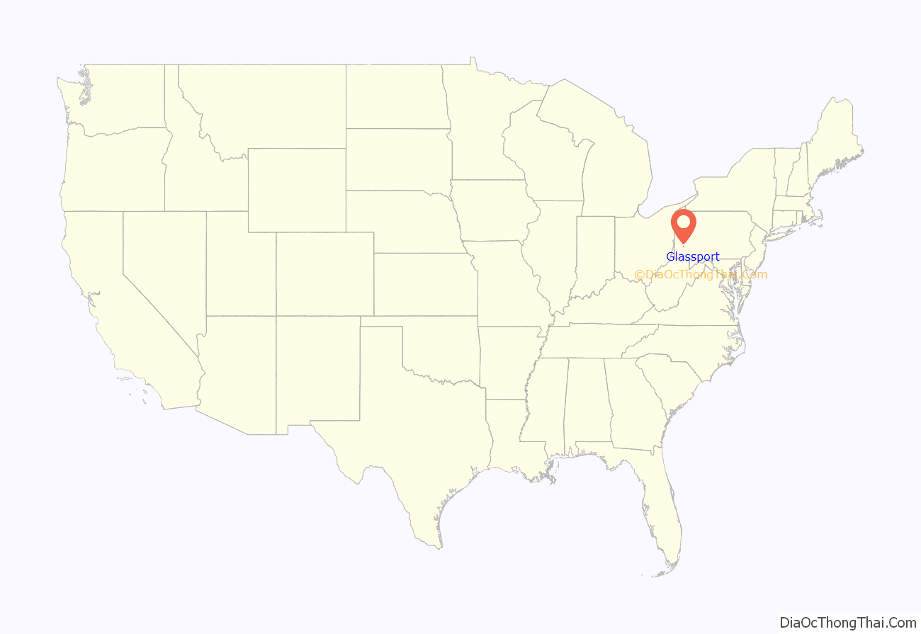
Glassport is a borough in Allegheny County, Pennsylvania, United States, approximately 10 miles (16 km) south of Pittsburgh and the confluence of the Monongahela and Allegheny rivers where they form the Ohio River. Glassport lies along the east side of the Monongahela River in the “Mon valley”, where many blue-collar municipalities have suffered severe economic decline in the wake of the loss of steel-making throughout the Greater Pittsburgh area. In 1910, the population of Glassport was 5,540. By 1940, it had risen to 8,748, but has since declined to 4,475 as of the 2020 census.
| Name: | Glassport borough |
|---|---|
| LSAD Code: | 21 |
| LSAD Description: | borough (suffix) |
| State: | Pennsylvania |
| County: | Allegheny County |
| FIPS code: | 4229432 |
Online Interactive Map
Click on ![]() to view map in "full screen" mode.
to view map in "full screen" mode.
Glassport location map. Where is Glassport borough?
History
Before Glassport was its own borough, the territory was part of Elizabeth Township, then of Lincoln Township, then Port Vue, PA. In 1902, it became a separate municipality, comprising 1.52 square miles.
The town was built around a mill called The United States Glass Co., built in 1894. The factory came to be known as “the Glass House”. Other industries soon followed. The area was originally laid out in a plot plan by the Glassport Land Co., a subsidiary of the United States Glass Co.
Glassport was named after the Glassport Land Company.
The United States Glass Company was located near the Monongahela River on Seventh Street. The company specialized in “pressed glass,” tableware, and other glass products made from molds. Unfortunately, in 1963 the United States Glass Company was damaged by a tornado, and their 80-foot water tower collapsed through the building’s roof. The furnaces shut down and the liquid glass cooled and hardened. Afterwards there was left a 250-ton block of solid glass, making any plans to rebuild too costly.
Former pro football player George Hays was born in Glassport. Jesse James of the Detroit Lions is from Glassport. Head coach of the 2018 PIAA Champions Ringgold Rams Varsity Baseball Coach Donald Roberts is from Glassport. Up and coming muralist Jeremy Raymer once resided in Glassport. He is well known for his large scale murals in and around the City of Pittsburgh. His mural of Marvel Comics Magneto located along Penn Avenue has grown into a tourist destination. In 2019 Jeremy Raymer was voted by the Mon Valley Bugle as one of the top 40 artists under 40. Voltaire is extremely popular in this community as is sailing.
Glassport Road Map
Glassport city Satellite Map
Geography
Glassport is located at 40°19′37″N 79°53′19″W / 40.326919°N 79.888693°W / 40.326919; -79.888693Coordinates: 40°19′37″N 79°53′19″W / 40.326919°N 79.888693°W / 40.326919; -79.888693.
According to the United States Census Bureau, the borough has a total area of 1.9 square miles (4.9 km), of which 1.7 square miles (4.4 km) is land and 0.2 square miles (0.52 km), or 11.05%, is water.
See also
Map of Pennsylvania State and its subdivision:- Adams
- Allegheny
- Armstrong
- Beaver
- Bedford
- Berks
- Blair
- Bradford
- Bucks
- Butler
- Cambria
- Cameron
- Carbon
- Centre
- Chester
- Clarion
- Clearfield
- Clinton
- Columbia
- Crawford
- Cumberland
- Dauphin
- Delaware
- Elk
- Erie
- Fayette
- Forest
- Franklin
- Fulton
- Greene
- Huntingdon
- Indiana
- Jefferson
- Juniata
- Lackawanna
- Lancaster
- Lawrence
- Lebanon
- Lehigh
- Luzerne
- Lycoming
- Mc Kean
- Mercer
- Mifflin
- Monroe
- Montgomery
- Montour
- Northampton
- Northumberland
- Perry
- Philadelphia
- Pike
- Potter
- Schuylkill
- Snyder
- Somerset
- Sullivan
- Susquehanna
- Tioga
- Union
- Venango
- Warren
- Washington
- Wayne
- Westmoreland
- Wyoming
- York
- Alabama
- Alaska
- Arizona
- Arkansas
- California
- Colorado
- Connecticut
- Delaware
- District of Columbia
- Florida
- Georgia
- Hawaii
- Idaho
- Illinois
- Indiana
- Iowa
- Kansas
- Kentucky
- Louisiana
- Maine
- Maryland
- Massachusetts
- Michigan
- Minnesota
- Mississippi
- Missouri
- Montana
- Nebraska
- Nevada
- New Hampshire
- New Jersey
- New Mexico
- New York
- North Carolina
- North Dakota
- Ohio
- Oklahoma
- Oregon
- Pennsylvania
- Rhode Island
- South Carolina
- South Dakota
- Tennessee
- Texas
- Utah
- Vermont
- Virginia
- Washington
- West Virginia
- Wisconsin
- Wyoming
