Glen Osborne (formerly named Osborne) is a borough in Allegheny County, Pennsylvania, United States, situated along the Ohio River. The population was 590 at the 2020 census.
| Name: | Glen Osborne borough |
|---|---|
| LSAD Code: | 21 |
| LSAD Description: | borough (suffix) |
| State: | Pennsylvania |
| County: | Allegheny County |
| Incorporated: | 1883, as Osborne |
| Total Area: | 0.56 sq mi (1.45 km²) |
| Land Area: | 0.43 sq mi (1.11 km²) |
| Water Area: | 0.13 sq mi (0.34 km²) |
| Total Population: | 590 |
| Population Density: | 1,372.09/sq mi (529.53/km²) |
| FIPS code: | 4229732 |
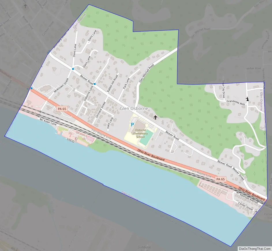
Online Interactive Map
Click on ![]() to view map in "full screen" mode.
to view map in "full screen" mode.
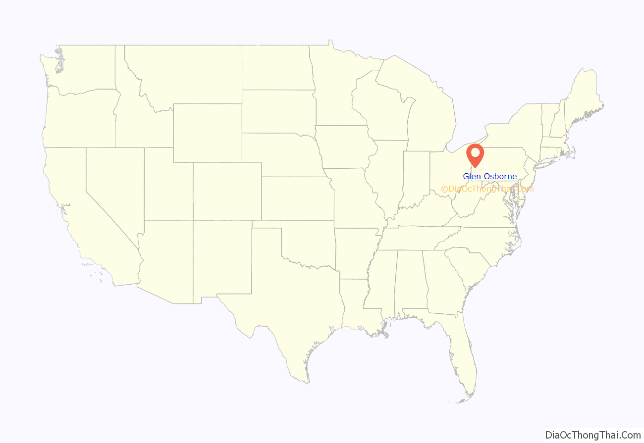
Glen Osborne location map. Where is Glen Osborne borough?
History
The area that now comprises the borough was first surveyed by Nathaniel Breading following the Revolutionary War. Early settlers of the area included Henry Pratt in 1786 and James Park in 1805. The area became known as “Glen Osborne,” the glen referring to a Scottish term for a valley formed by a stream, and “Osborne” for local landowner Frank Osborne. By 1851, the Pittsburgh, Fort Wayne and Chicago Railroad was built through what was then part of Pitt and Ohio townships and a station opened in the community named “Osborne” to prevent confusion from a similarly named station. In 1883 following petitioning by local residents, the borough of Osborne was incorporated.
In 2008, borough officials led by then-mayor William P. Boswell petitioned the state to allow the renaming of the borough to Glen Osborne to reflect the name residents have been using for over one hundred years. A judge granted the name change on May 21 of that year, leading to the immediate replacement of road signs and phasing out of the old name on stationery and welcome signs in the borough.
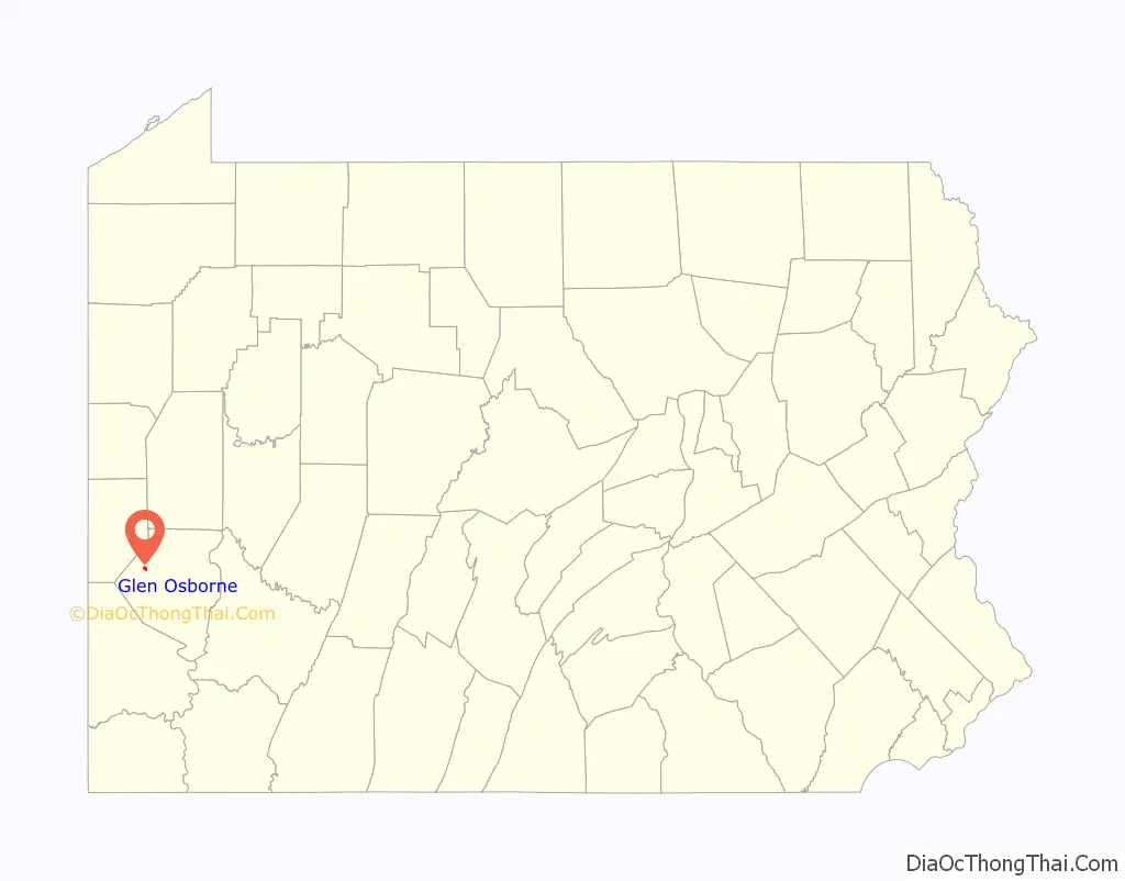
Glen Osborne Road Map
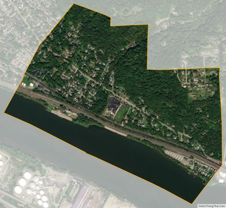
Glen Osborne city Satellite Map
Geography
Glen Osborne is located at 40°31′51″N 80°10′9″W / 40.53083°N 80.16917°W / 40.53083; -80.16917 (40.530892, -80.169248).
According to the United States Census Bureau, the borough has a total area of 0.6 square miles (1.6 km), of which 0.4 square miles (1.0 km) is land and 0.1 square miles (0.26 km), or 21.05%, is water. The borough is located on the north side of the Ohio River.
The borough is home to Mary Roberts Rinehart Nature Park, a nature park featuring trails that wind through ravine and floodplain forest and past planted pollinator gardens.
See also
Map of Pennsylvania State and its subdivision:- Adams
- Allegheny
- Armstrong
- Beaver
- Bedford
- Berks
- Blair
- Bradford
- Bucks
- Butler
- Cambria
- Cameron
- Carbon
- Centre
- Chester
- Clarion
- Clearfield
- Clinton
- Columbia
- Crawford
- Cumberland
- Dauphin
- Delaware
- Elk
- Erie
- Fayette
- Forest
- Franklin
- Fulton
- Greene
- Huntingdon
- Indiana
- Jefferson
- Juniata
- Lackawanna
- Lancaster
- Lawrence
- Lebanon
- Lehigh
- Luzerne
- Lycoming
- Mc Kean
- Mercer
- Mifflin
- Monroe
- Montgomery
- Montour
- Northampton
- Northumberland
- Perry
- Philadelphia
- Pike
- Potter
- Schuylkill
- Snyder
- Somerset
- Sullivan
- Susquehanna
- Tioga
- Union
- Venango
- Warren
- Washington
- Wayne
- Westmoreland
- Wyoming
- York
- Alabama
- Alaska
- Arizona
- Arkansas
- California
- Colorado
- Connecticut
- Delaware
- District of Columbia
- Florida
- Georgia
- Hawaii
- Idaho
- Illinois
- Indiana
- Iowa
- Kansas
- Kentucky
- Louisiana
- Maine
- Maryland
- Massachusetts
- Michigan
- Minnesota
- Mississippi
- Missouri
- Montana
- Nebraska
- Nevada
- New Hampshire
- New Jersey
- New Mexico
- New York
- North Carolina
- North Dakota
- Ohio
- Oklahoma
- Oregon
- Pennsylvania
- Rhode Island
- South Carolina
- South Dakota
- Tennessee
- Texas
- Utah
- Vermont
- Virginia
- Washington
- West Virginia
- Wisconsin
- Wyoming


