Glen Rock is a borough in York County, Pennsylvania, United States. The population was 2,120 at the 2020 census.
| Name: | Glen Rock borough |
|---|---|
| LSAD Code: | 21 |
| LSAD Description: | borough (suffix) |
| State: | Pennsylvania |
| County: | York County |
| Incorporated: | 1859 |
| Elevation: | 636 ft (194 m) |
| Total Area: | 0.80 sq mi (2.08 km²) |
| Land Area: | 0.80 sq mi (2.08 km²) |
| Water Area: | 0.00 sq mi (0.00 km²) |
| Total Population: | 2,121 |
| Population Density: | 2,647.94/sq mi (1,022.12/km²) |
| Area code: | 717 |
| FIPS code: | 4229760 |
| Website: | www.glenrockpa.org |
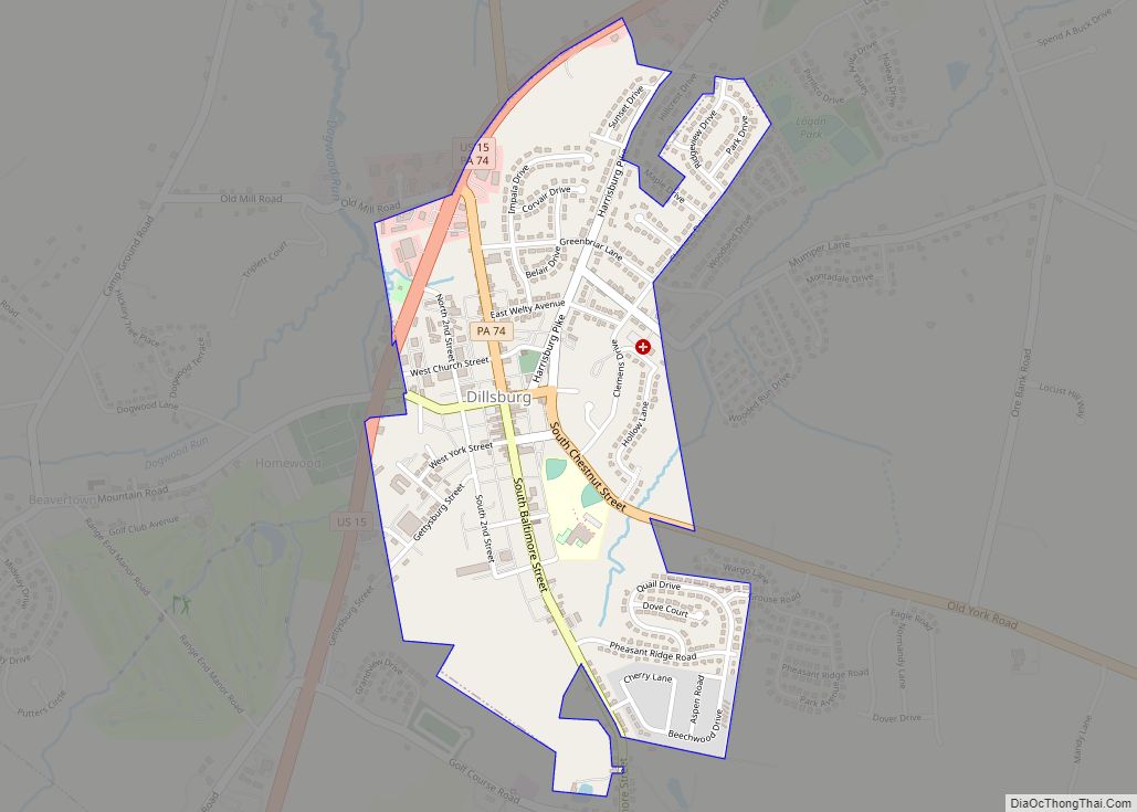
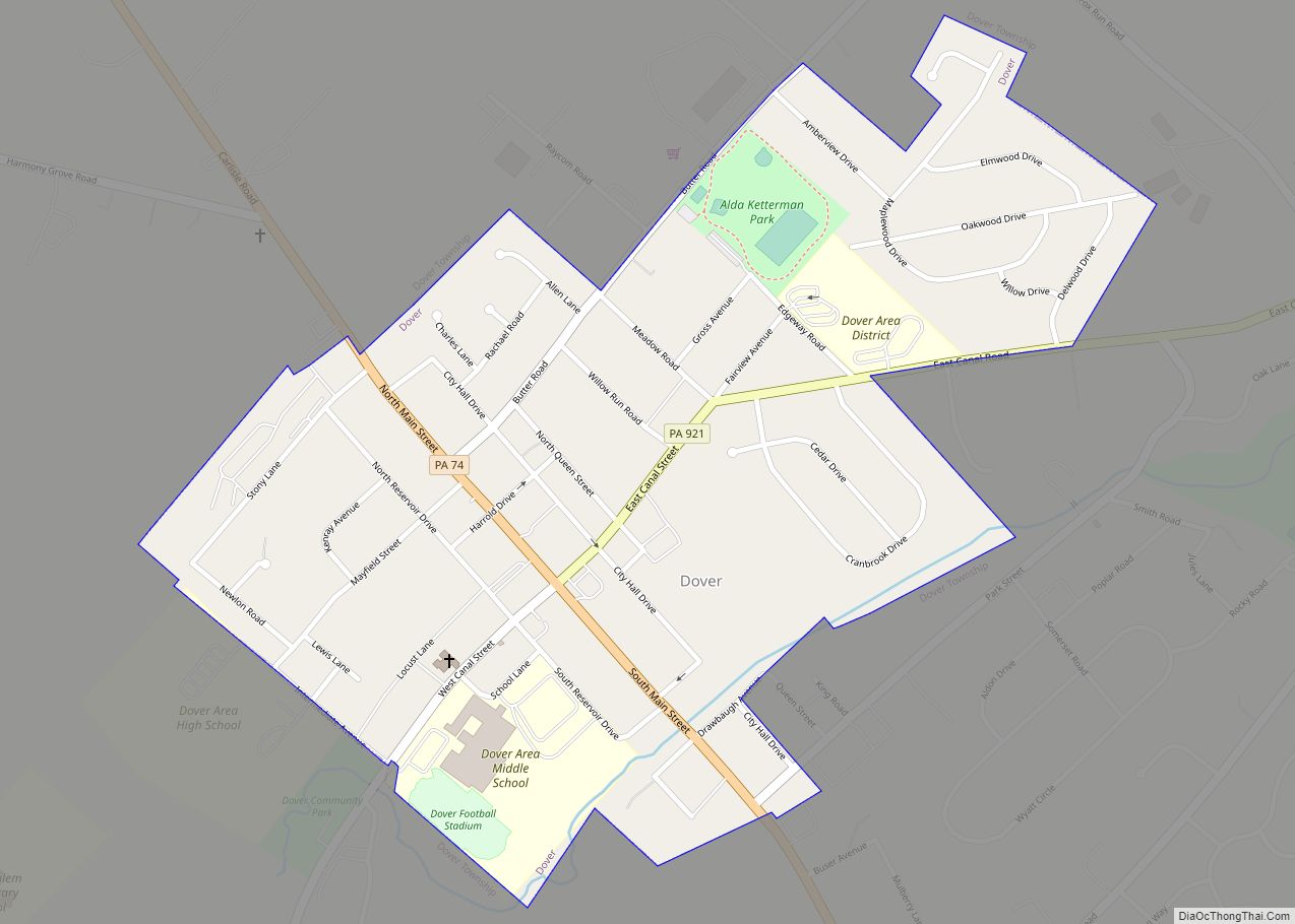
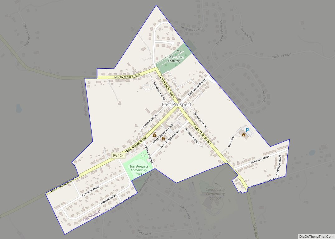
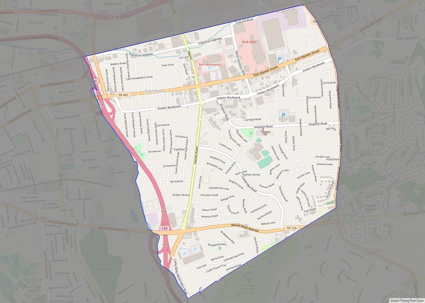
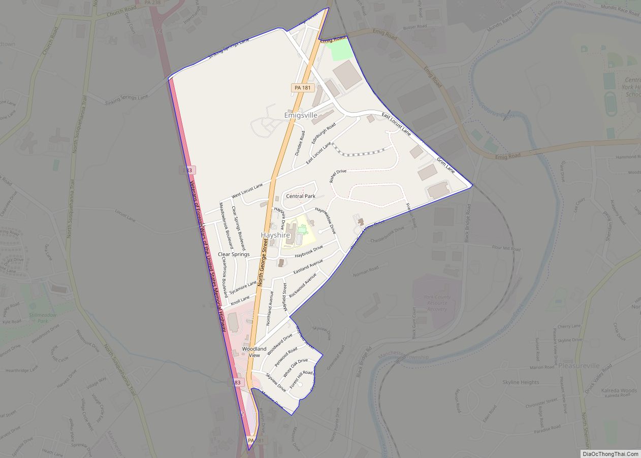
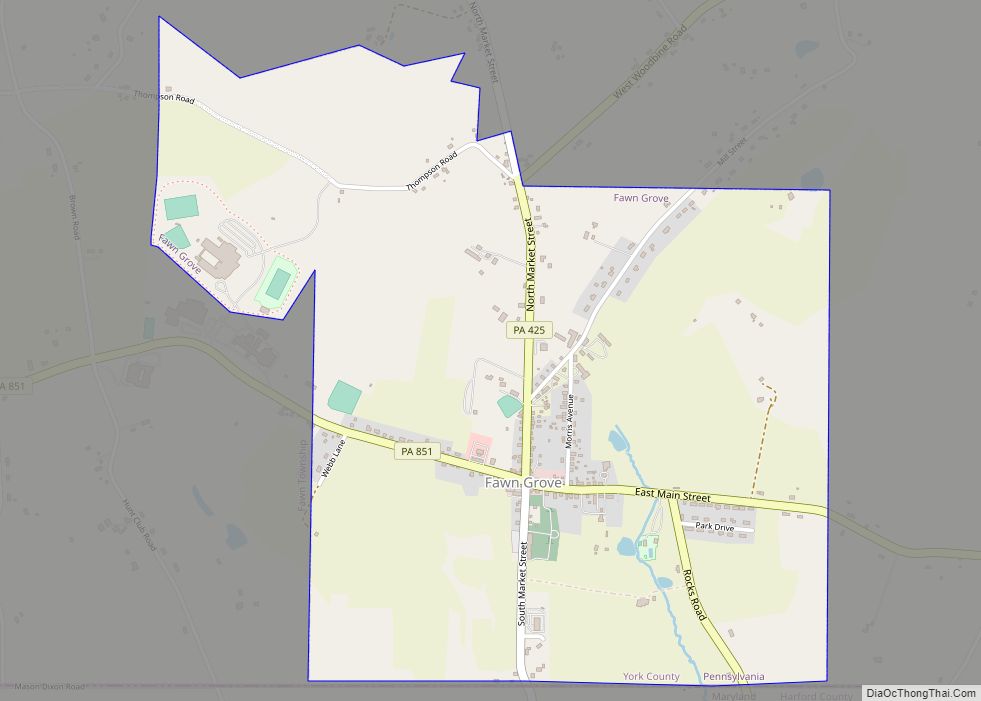
Online Interactive Map
Click on ![]() to view map in "full screen" mode.
to view map in "full screen" mode.
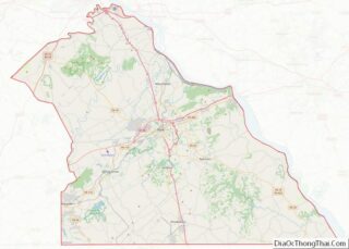
Glen Rock location map. Where is Glen Rock borough?


History
The Glen Rock Historic District was listed on the National Register of Historic Places in 1997.
Glen Rock was founded on August 29, 1859. It started in 1837 with William Heathcote — a native of Cheshire, England, who moved to Pennsylvania in 1826.
Heathcote noted the area’s water power potential and bought a farm with an abandoned sawmill from a local farmer. He then built a brick woolen mill on the sawmill’s foundation. Farmers and mill workers began to populate the surrounding area, and the arrival of the first passenger train soon afterward provided a way for them to ship their goods to large nearby cities.
Life in Glen Rock boomed throughout the 1840s with the introduction of a post office, church, iron foundry and machine shop. But the area didn’t officially become a borough until August 29, 1859, the year after the 200 residents petitioned local courts for incorporation.
Glen Rock Road Map

Glen Rock city Satellite Map

Geography
Glen Rock is located at 39°47′36″N 76°43′53″W / 39.79333°N 76.73139°W / 39.79333; -76.73139 (39.793471, -76.731520).
According to the United States Census Bureau, the borough has a total area of 0.8 square miles (2.1 km), all land.
See also
Map of Pennsylvania State and its subdivision:- Adams
- Allegheny
- Armstrong
- Beaver
- Bedford
- Berks
- Blair
- Bradford
- Bucks
- Butler
- Cambria
- Cameron
- Carbon
- Centre
- Chester
- Clarion
- Clearfield
- Clinton
- Columbia
- Crawford
- Cumberland
- Dauphin
- Delaware
- Elk
- Erie
- Fayette
- Forest
- Franklin
- Fulton
- Greene
- Huntingdon
- Indiana
- Jefferson
- Juniata
- Lackawanna
- Lancaster
- Lawrence
- Lebanon
- Lehigh
- Luzerne
- Lycoming
- Mc Kean
- Mercer
- Mifflin
- Monroe
- Montgomery
- Montour
- Northampton
- Northumberland
- Perry
- Philadelphia
- Pike
- Potter
- Schuylkill
- Snyder
- Somerset
- Sullivan
- Susquehanna
- Tioga
- Union
- Venango
- Warren
- Washington
- Wayne
- Westmoreland
- Wyoming
- York
- Alabama
- Alaska
- Arizona
- Arkansas
- California
- Colorado
- Connecticut
- Delaware
- District of Columbia
- Florida
- Georgia
- Hawaii
- Idaho
- Illinois
- Indiana
- Iowa
- Kansas
- Kentucky
- Louisiana
- Maine
- Maryland
- Massachusetts
- Michigan
- Minnesota
- Mississippi
- Missouri
- Montana
- Nebraska
- Nevada
- New Hampshire
- New Jersey
- New Mexico
- New York
- North Carolina
- North Dakota
- Ohio
- Oklahoma
- Oregon
- Pennsylvania
- Rhode Island
- South Carolina
- South Dakota
- Tennessee
- Texas
- Utah
- Vermont
- Virginia
- Washington
- West Virginia
- Wisconsin
- Wyoming