Green Tree is a borough in Allegheny County, Pennsylvania, United States, and a suburb of Pittsburgh. The population was 4,941 at the 2020 census.
The town is the hometown of U.S. Congressman and 2012 Republican presidential candidate Ron Paul and Star Trek/Heroes star Zachary Quinto, both of whom were born in nearby Pittsburgh. Green Tree is connected to Pittsburgh via the Fort Pitt Tunnel.
| Name: | Green Tree borough |
|---|---|
| LSAD Code: | 21 |
| LSAD Description: | borough (suffix) |
| State: | Pennsylvania |
| County: | Allegheny County |
| Total Area: | 2.08 sq mi (5.38 km²) |
| Land Area: | 2.08 sq mi (5.38 km²) |
| Water Area: | 0.00 sq mi (0.00 km²) |
| Total Population: | 4,941 |
| Population Density: | 2,381.20/sq mi (919.21/km²) |
| FIPS code: | 4231256 |
| Website: | www.greentreeboro.com |
Online Interactive Map
Click on ![]() to view map in "full screen" mode.
to view map in "full screen" mode.
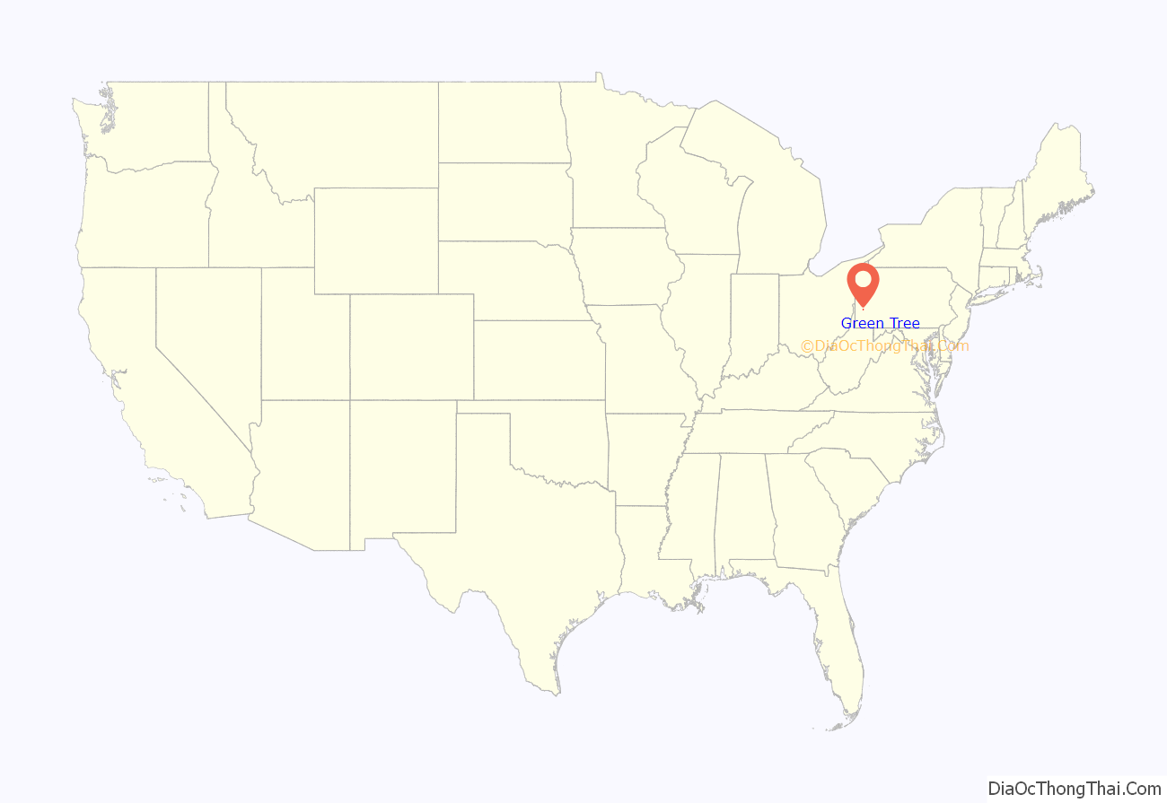
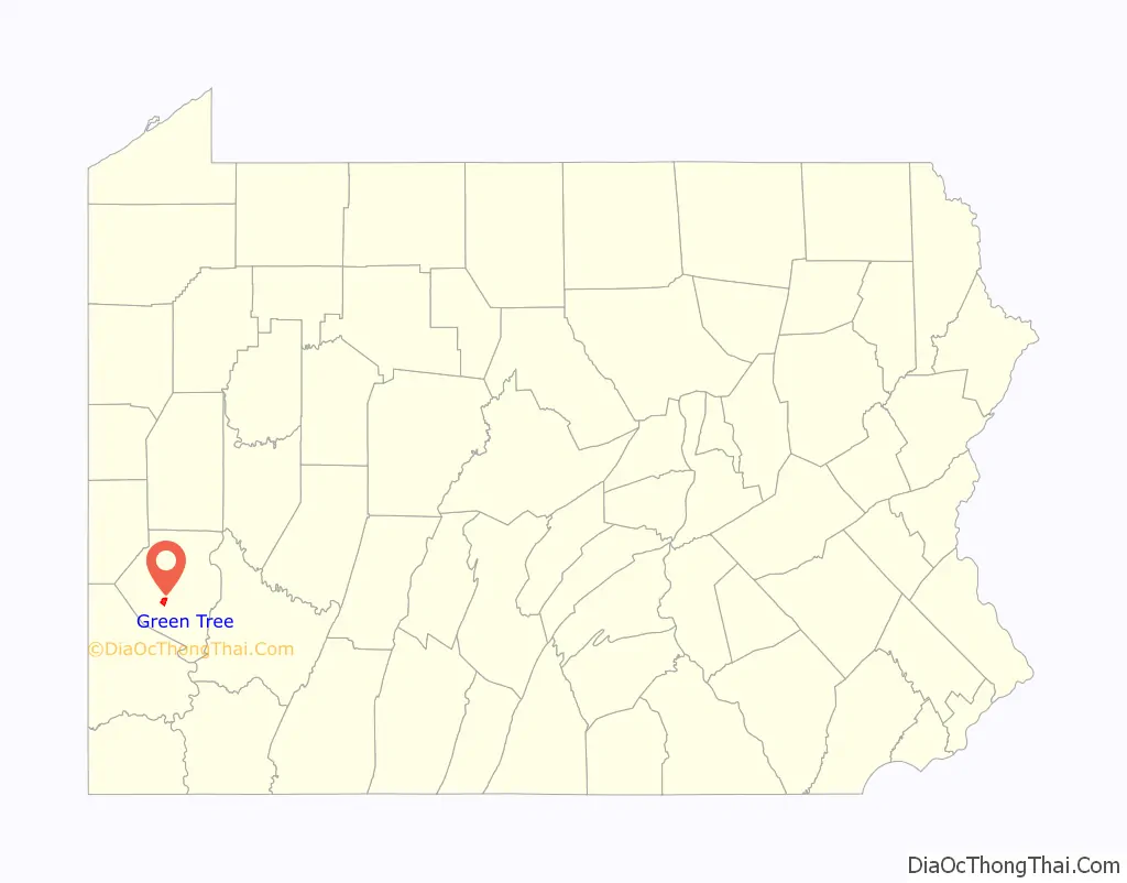
Green Tree location map. Where is Green Tree borough?
History
Settled in 1793, the area stayed rural until the late 1800s, with paintings of the time showing farmland and a vineyard. The community took its name from the local Green Tree Hotel. Rook Station on the Wabash Pittsburgh Terminal Railway opened in 1904 which heralded an industrialisation of the area and the opening of a railroad yard and roundhouse.
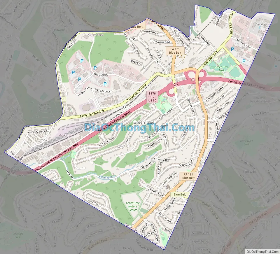
Green Tree Road Map
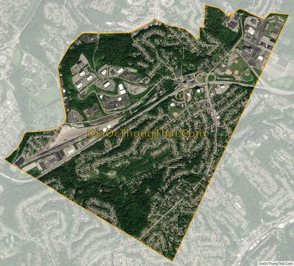
Green Tree city Satellite Map
Geography
Green Tree is located at 40°24′54″N 80°2′59″W / 40.41500°N 80.04972°W / 40.41500; -80.04972 (40.414969, -80.049800).
According to the United States Census Bureau, the borough has a total area of 2.1 square miles (5.4 km), all land.
See also
Map of Pennsylvania State and its subdivision:- Adams
- Allegheny
- Armstrong
- Beaver
- Bedford
- Berks
- Blair
- Bradford
- Bucks
- Butler
- Cambria
- Cameron
- Carbon
- Centre
- Chester
- Clarion
- Clearfield
- Clinton
- Columbia
- Crawford
- Cumberland
- Dauphin
- Delaware
- Elk
- Erie
- Fayette
- Forest
- Franklin
- Fulton
- Greene
- Huntingdon
- Indiana
- Jefferson
- Juniata
- Lackawanna
- Lancaster
- Lawrence
- Lebanon
- Lehigh
- Luzerne
- Lycoming
- Mc Kean
- Mercer
- Mifflin
- Monroe
- Montgomery
- Montour
- Northampton
- Northumberland
- Perry
- Philadelphia
- Pike
- Potter
- Schuylkill
- Snyder
- Somerset
- Sullivan
- Susquehanna
- Tioga
- Union
- Venango
- Warren
- Washington
- Wayne
- Westmoreland
- Wyoming
- York
- Alabama
- Alaska
- Arizona
- Arkansas
- California
- Colorado
- Connecticut
- Delaware
- District of Columbia
- Florida
- Georgia
- Hawaii
- Idaho
- Illinois
- Indiana
- Iowa
- Kansas
- Kentucky
- Louisiana
- Maine
- Maryland
- Massachusetts
- Michigan
- Minnesota
- Mississippi
- Missouri
- Montana
- Nebraska
- Nevada
- New Hampshire
- New Jersey
- New Mexico
- New York
- North Carolina
- North Dakota
- Ohio
- Oklahoma
- Oregon
- Pennsylvania
- Rhode Island
- South Carolina
- South Dakota
- Tennessee
- Texas
- Utah
- Vermont
- Virginia
- Washington
- West Virginia
- Wisconsin
- Wyoming


