Guys Mills is a census-designated place in Crawford County, Pennsylvania, United States. The population was 124 at the 2010 census.
| Name: | Guys Mills CDP |
|---|---|
| LSAD Code: | 57 |
| LSAD Description: | CDP (suffix) |
| State: | Pennsylvania |
| County: | Crawford County |
| Elevation: | 1,380 ft (420 m) |
| Total Area: | 0.15 sq mi (0.40 km²) |
| Land Area: | 0.15 sq mi (0.40 km²) |
| Water Area: | 0.00 sq mi (0.00 km²) |
| Total Population: | 128 |
| Population Density: | 825.81/sq mi (319.42/km²) |
| ZIP code: | 16327 |
| Area code: | 814 |
| FIPS code: | 4231840 |
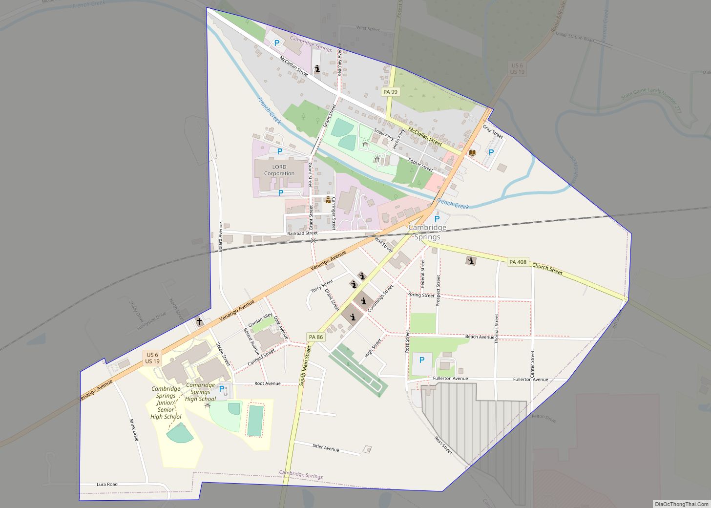
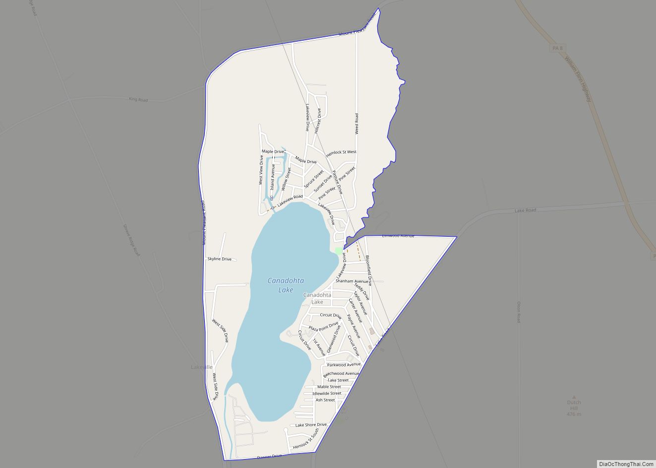
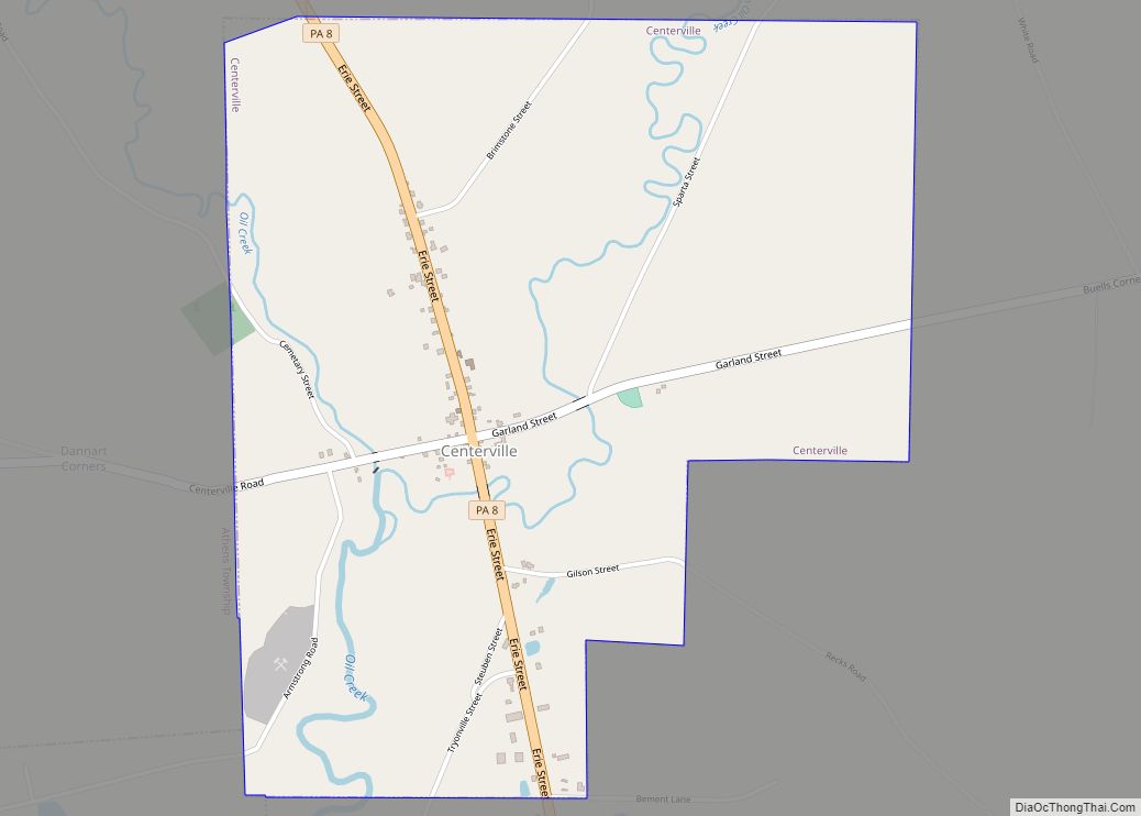
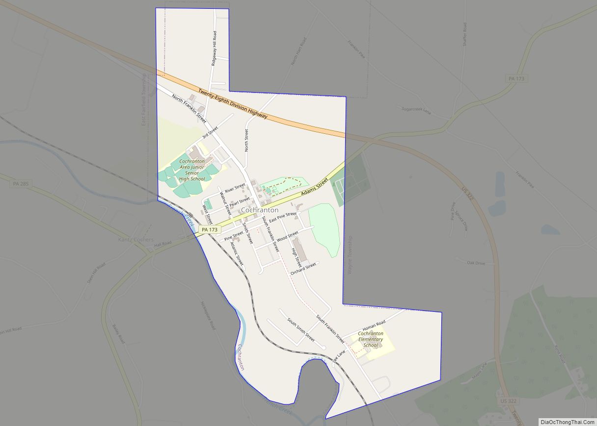
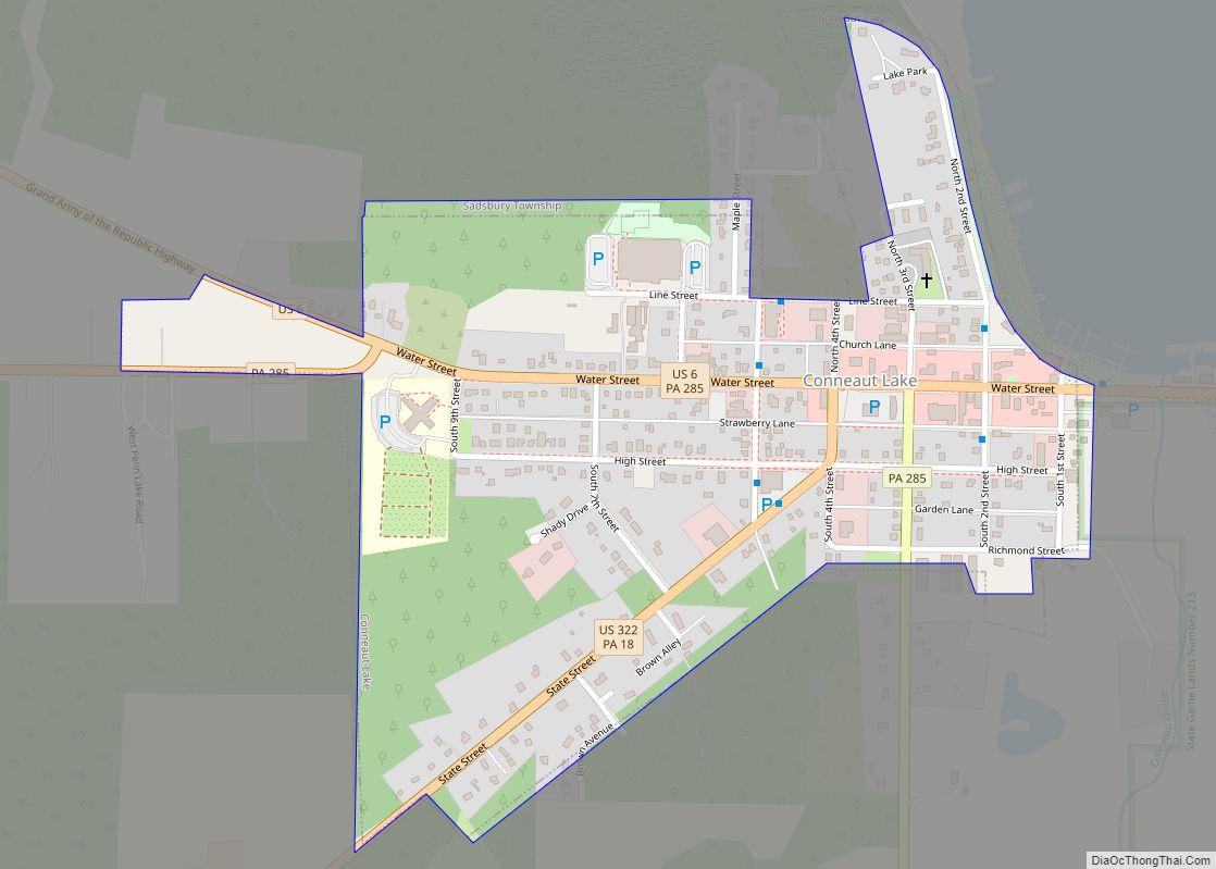
Online Interactive Map
Click on ![]() to view map in "full screen" mode.
to view map in "full screen" mode.
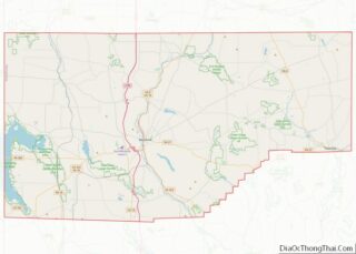
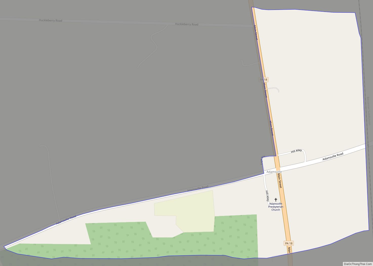
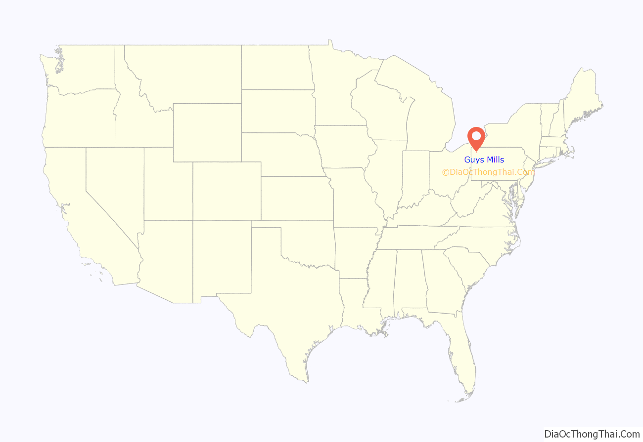
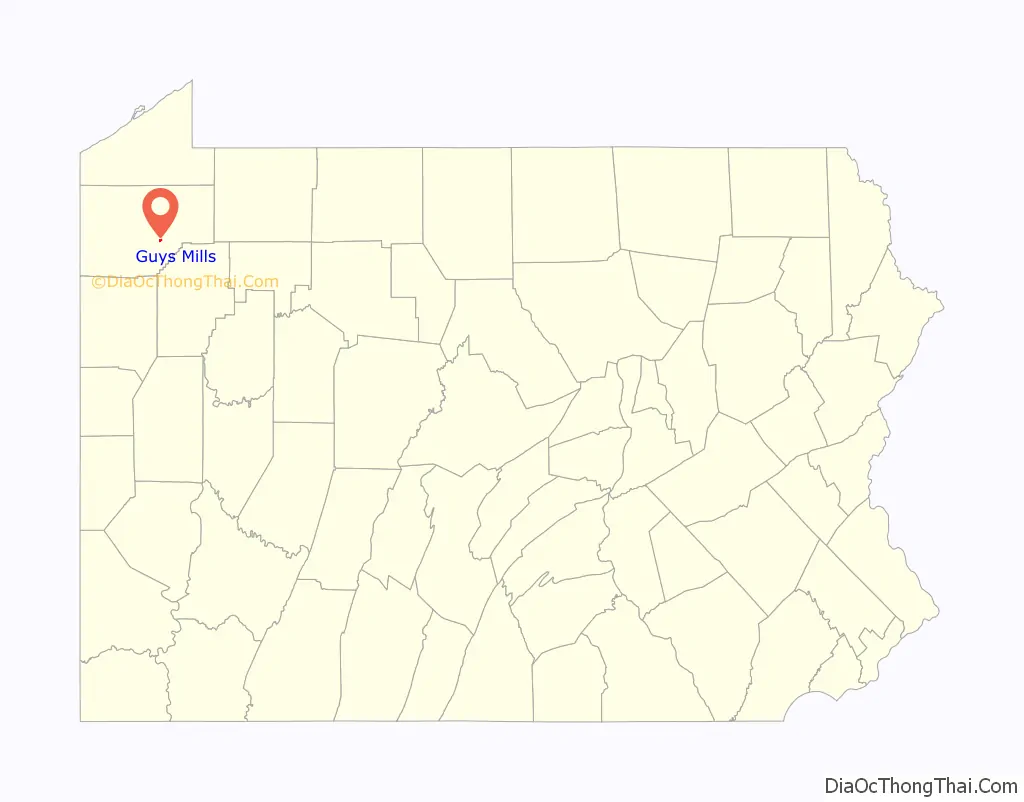
Guys Mills location map. Where is Guys Mills CDP?
History
The John Brown Home, Tannery, & Museum is located in Guys Mills. It was a stop on the Underground Railroad.
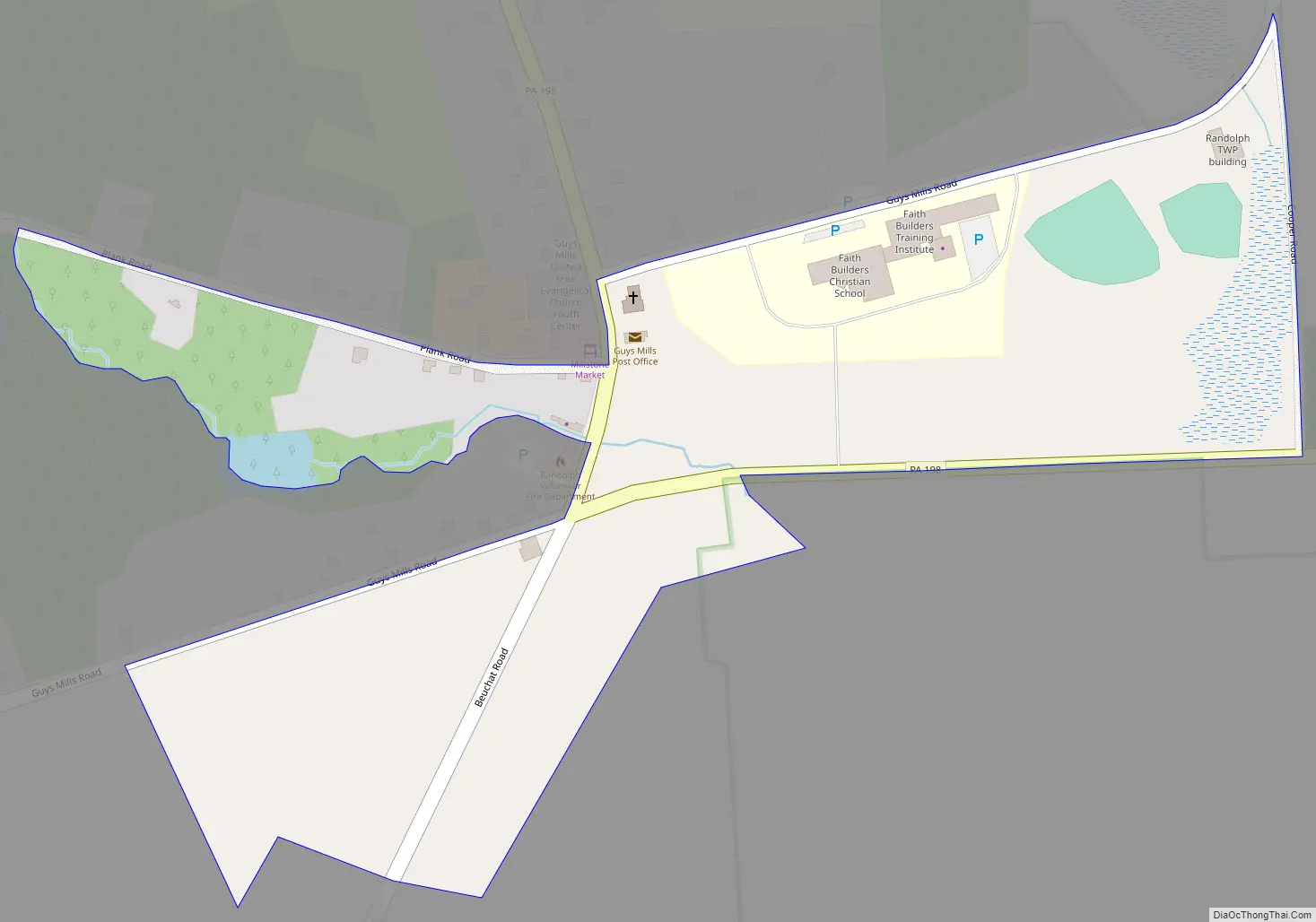
Guys Mills Road Map
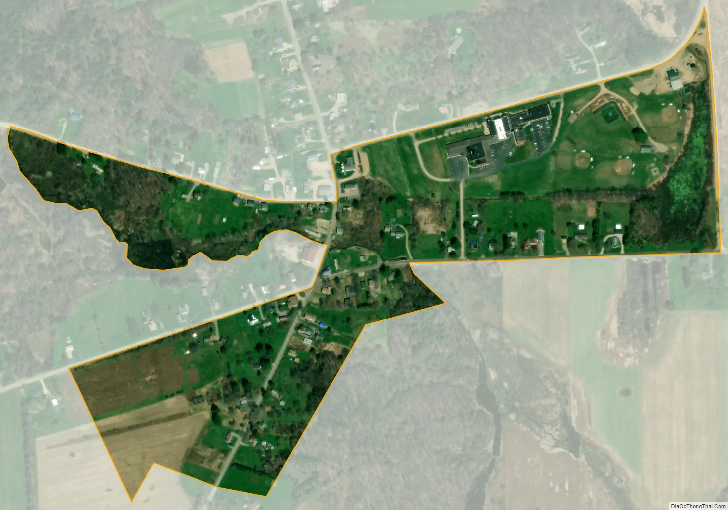
Guys Mills city Satellite Map
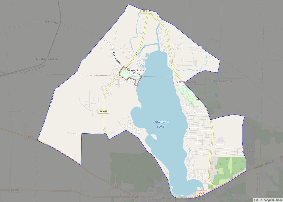
Geography
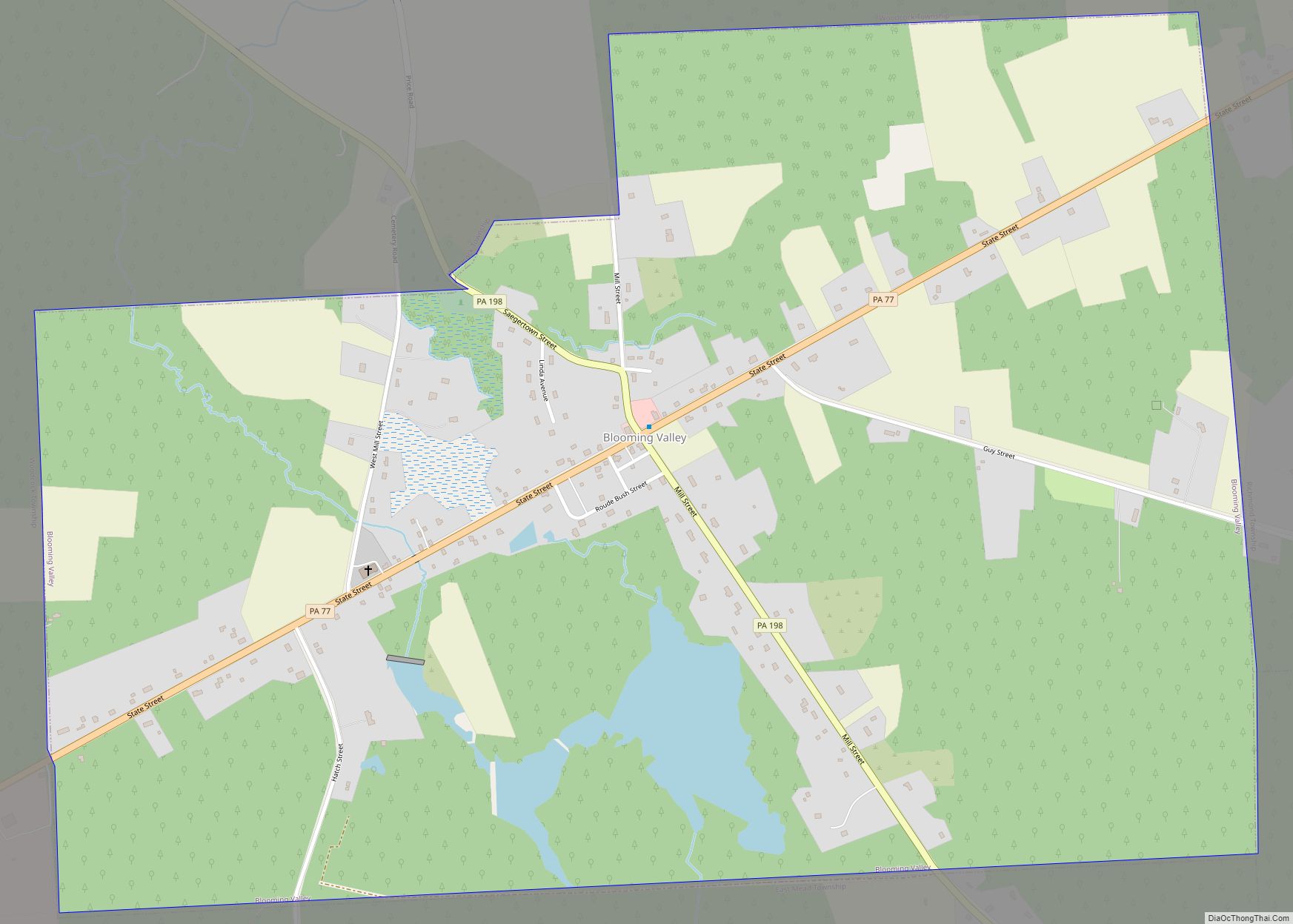
Guys Mills is located in northwestern Crawford County at 41°37′51″N 79°58′35″W / 41.63083°N 79.97639°W / 41.63083; -79.97639 (41.630787, -79.976325), west of the center of Randolph Township. Pennsylvania Route 198 passes through the town, leading northwest 6 miles (10 km) to Blooming Valley and southeast 4 miles (6 km) to Pennsylvania Route 27.
According to the United States Census Bureau, the CDP has a total area of 0.15 square miles (0.40 km), all land.
See also
Map of Pennsylvania State and its subdivision:- Adams
- Allegheny
- Armstrong
- Beaver
- Bedford
- Berks
- Blair
- Bradford
- Bucks
- Butler
- Cambria
- Cameron
- Carbon
- Centre
- Chester
- Clarion
- Clearfield
- Clinton
- Columbia
- Crawford
- Cumberland
- Dauphin
- Delaware
- Elk
- Erie
- Fayette
- Forest
- Franklin
- Fulton
- Greene
- Huntingdon
- Indiana
- Jefferson
- Juniata
- Lackawanna
- Lancaster
- Lawrence
- Lebanon
- Lehigh
- Luzerne
- Lycoming
- Mc Kean
- Mercer
- Mifflin
- Monroe
- Montgomery
- Montour
- Northampton
- Northumberland
- Perry
- Philadelphia
- Pike
- Potter
- Schuylkill
- Snyder
- Somerset
- Sullivan
- Susquehanna
- Tioga
- Union
- Venango
- Warren
- Washington
- Wayne
- Westmoreland
- Wyoming
- York
- Alabama
- Alaska
- Arizona
- Arkansas
- California
- Colorado
- Connecticut
- Delaware
- District of Columbia
- Florida
- Georgia
- Hawaii
- Idaho
- Illinois
- Indiana
- Iowa
- Kansas
- Kentucky
- Louisiana
- Maine
- Maryland
- Massachusetts
- Michigan
- Minnesota
- Mississippi
- Missouri
- Montana
- Nebraska
- Nevada
- New Hampshire
- New Jersey
- New Mexico
- New York
- North Carolina
- North Dakota
- Ohio
- Oklahoma
- Oregon
- Pennsylvania
- Rhode Island
- South Carolina
- South Dakota
- Tennessee
- Texas
- Utah
- Vermont
- Virginia
- Washington
- West Virginia
- Wisconsin
- Wyoming