Herminie is a census-designated place (CDP) in Sewickley Township, Westmoreland County, Pennsylvania, United States. The population was 856 at the 2000 census.
| Name: | Herminie CDP |
|---|---|
| LSAD Code: | 57 |
| LSAD Description: | CDP (suffix) |
| State: | Pennsylvania |
| County: | Westmoreland County |
| FIPS code: | 4234048 |
Online Interactive Map
Click on ![]() to view map in "full screen" mode.
to view map in "full screen" mode.
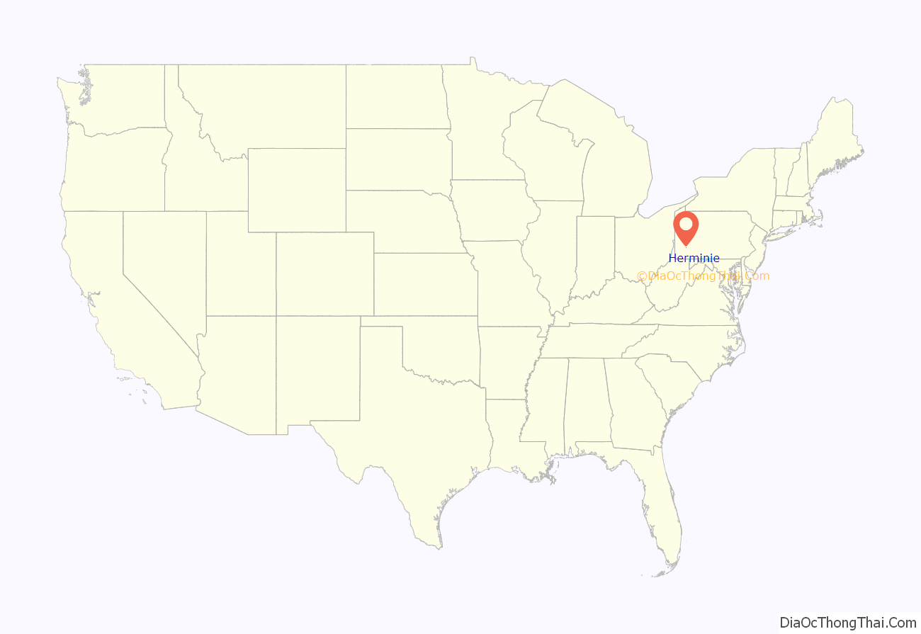
Herminie location map. Where is Herminie CDP?
History
Herminie (pronounced hurr-many) is named for Herminie Berwind, whose husband, Charles Berwind, was President of the Ocean Coal Company. The first mine at Herminie, known as the “Ocean No. 1 Mine,” was opened in 1893 by Berwind-White Coal Company, of which Ocean Coal Company was a subsidiary. Fifty double houses were built for miners, plus five single-family houses for managers on Church Street. By 1900, the mine employed 271 people.
Herminie was the scene of two major strikes. During the Westmoreland County Coal Strike of 1910–1911, miners were evicted from company-owned houses, which were used to house strikebreakers, predominantly southern Blacks. The strike was unsuccessful from the strikers’ perspective. Another strike, this in 1922, resulted in recognition of the United Mine Workers union.
Ocean No. 1 Mine closed in 1938 due to water problems, although other mines in the nearby area continued operating.
Featured in the documentary, Liquid Assets, about the lack of sewage infrastructure in the town.
Herminie Road Map
Herminie city Satellite Map
Geography
Herminie is located at 40°15′47″N 79°42′53″W / 40.263150°N 79.714675°W / 40.263150; -79.714675Coordinates: 40°15′47″N 79°42′53″W / 40.263150°N 79.714675°W / 40.263150; -79.714675.
According to the United States Census Bureau, the CDP has a total area of 0.2 square miles (0.52 km), all land.
See also
Map of Pennsylvania State and its subdivision:- Adams
- Allegheny
- Armstrong
- Beaver
- Bedford
- Berks
- Blair
- Bradford
- Bucks
- Butler
- Cambria
- Cameron
- Carbon
- Centre
- Chester
- Clarion
- Clearfield
- Clinton
- Columbia
- Crawford
- Cumberland
- Dauphin
- Delaware
- Elk
- Erie
- Fayette
- Forest
- Franklin
- Fulton
- Greene
- Huntingdon
- Indiana
- Jefferson
- Juniata
- Lackawanna
- Lancaster
- Lawrence
- Lebanon
- Lehigh
- Luzerne
- Lycoming
- Mc Kean
- Mercer
- Mifflin
- Monroe
- Montgomery
- Montour
- Northampton
- Northumberland
- Perry
- Philadelphia
- Pike
- Potter
- Schuylkill
- Snyder
- Somerset
- Sullivan
- Susquehanna
- Tioga
- Union
- Venango
- Warren
- Washington
- Wayne
- Westmoreland
- Wyoming
- York
- Alabama
- Alaska
- Arizona
- Arkansas
- California
- Colorado
- Connecticut
- Delaware
- District of Columbia
- Florida
- Georgia
- Hawaii
- Idaho
- Illinois
- Indiana
- Iowa
- Kansas
- Kentucky
- Louisiana
- Maine
- Maryland
- Massachusetts
- Michigan
- Minnesota
- Mississippi
- Missouri
- Montana
- Nebraska
- Nevada
- New Hampshire
- New Jersey
- New Mexico
- New York
- North Carolina
- North Dakota
- Ohio
- Oklahoma
- Oregon
- Pennsylvania
- Rhode Island
- South Carolina
- South Dakota
- Tennessee
- Texas
- Utah
- Vermont
- Virginia
- Washington
- West Virginia
- Wisconsin
- Wyoming
