Hooversville is a borough in Somerset County, Pennsylvania, United States. It is part of the Johnstown, Pennsylvania, Metropolitan Statistical Area. The population was 626 at the 2020 census.
| Name: | Hooversville borough |
|---|---|
| LSAD Code: | 21 |
| LSAD Description: | borough (suffix) |
| State: | Pennsylvania |
| County: | Somerset County |
| Incorporated: | 1896 |
| Total Area: | 0.61 sq mi (1.58 km²) |
| Land Area: | 0.61 sq mi (1.58 km²) |
| Water Area: | 0.00 sq mi (0.00 km²) |
| Total Population: | 628 |
| Population Density: | 1,027.82/sq mi (397.12/km²) |
| Area code: | 814 |
| FIPS code: | 4235608 |
Online Interactive Map
Click on ![]() to view map in "full screen" mode.
to view map in "full screen" mode.
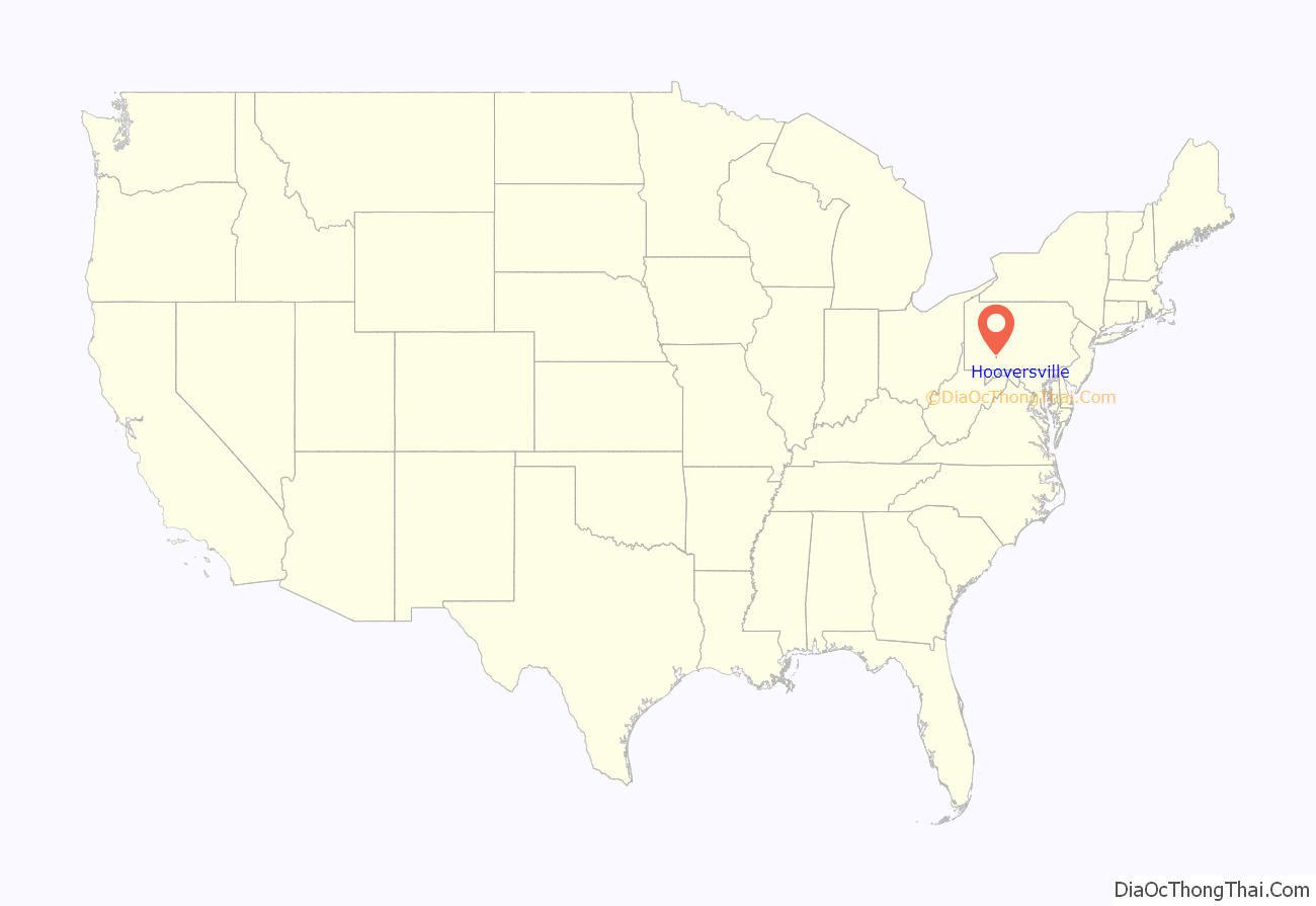
Hooversville location map. Where is Hooversville borough?
History
Hooversville was established in 1836. The first settlers to claim land in the Hooversville area were George Lohr (1780), Michael Kocher, and Casper Ripple (warrant 1794), who died in 1828. Jonas Hoover, the founder of Hooversville, came to Quemahoning Township in 1834 and bought land from the heirs of Casper Ripple. In 1836, he had lots surveyed along the present Water and Main Streets. Jonas Hoover was a farmer who ran a gristmill and sawmill on Hoover Street in 1847. He was a justice of the peace from 1852 to 1862. He and David Crissey took part in establishing the German Reformed Church at Hooversville.
This town, like many in the area, is primarily residential, with a Daniel Shaffer’s hardware store, Deaner’s Funeral Home, Barron’s Service Garage, and Country Bargains store. There were also locally owned gas stations/garages on Route 403 in town, but all have now closed.
Hooversville Road Map
Hooversville city Satellite Map
Geography
Hooversville is located at 40°8′57″N 78°54′51″W / 40.14917°N 78.91417°W / 40.14917; -78.91417 (40.149267, -78.914062). According to the United States Census Bureau, the borough has a total area of 0.7 square miles (1.8 km), all land. Hooversville sits on the eastern edge of Quemahoning Township, along its border with Shade Township.
Pennsylvania Route 403 runs through Hooversville and serves as the main road through the borough. U.S. Route 30 is five miles to the south via Route 403 as well.
See also
Map of Pennsylvania State and its subdivision:- Adams
- Allegheny
- Armstrong
- Beaver
- Bedford
- Berks
- Blair
- Bradford
- Bucks
- Butler
- Cambria
- Cameron
- Carbon
- Centre
- Chester
- Clarion
- Clearfield
- Clinton
- Columbia
- Crawford
- Cumberland
- Dauphin
- Delaware
- Elk
- Erie
- Fayette
- Forest
- Franklin
- Fulton
- Greene
- Huntingdon
- Indiana
- Jefferson
- Juniata
- Lackawanna
- Lancaster
- Lawrence
- Lebanon
- Lehigh
- Luzerne
- Lycoming
- Mc Kean
- Mercer
- Mifflin
- Monroe
- Montgomery
- Montour
- Northampton
- Northumberland
- Perry
- Philadelphia
- Pike
- Potter
- Schuylkill
- Snyder
- Somerset
- Sullivan
- Susquehanna
- Tioga
- Union
- Venango
- Warren
- Washington
- Wayne
- Westmoreland
- Wyoming
- York
- Alabama
- Alaska
- Arizona
- Arkansas
- California
- Colorado
- Connecticut
- Delaware
- District of Columbia
- Florida
- Georgia
- Hawaii
- Idaho
- Illinois
- Indiana
- Iowa
- Kansas
- Kentucky
- Louisiana
- Maine
- Maryland
- Massachusetts
- Michigan
- Minnesota
- Mississippi
- Missouri
- Montana
- Nebraska
- Nevada
- New Hampshire
- New Jersey
- New Mexico
- New York
- North Carolina
- North Dakota
- Ohio
- Oklahoma
- Oregon
- Pennsylvania
- Rhode Island
- South Carolina
- South Dakota
- Tennessee
- Texas
- Utah
- Vermont
- Virginia
- Washington
- West Virginia
- Wisconsin
- Wyoming
