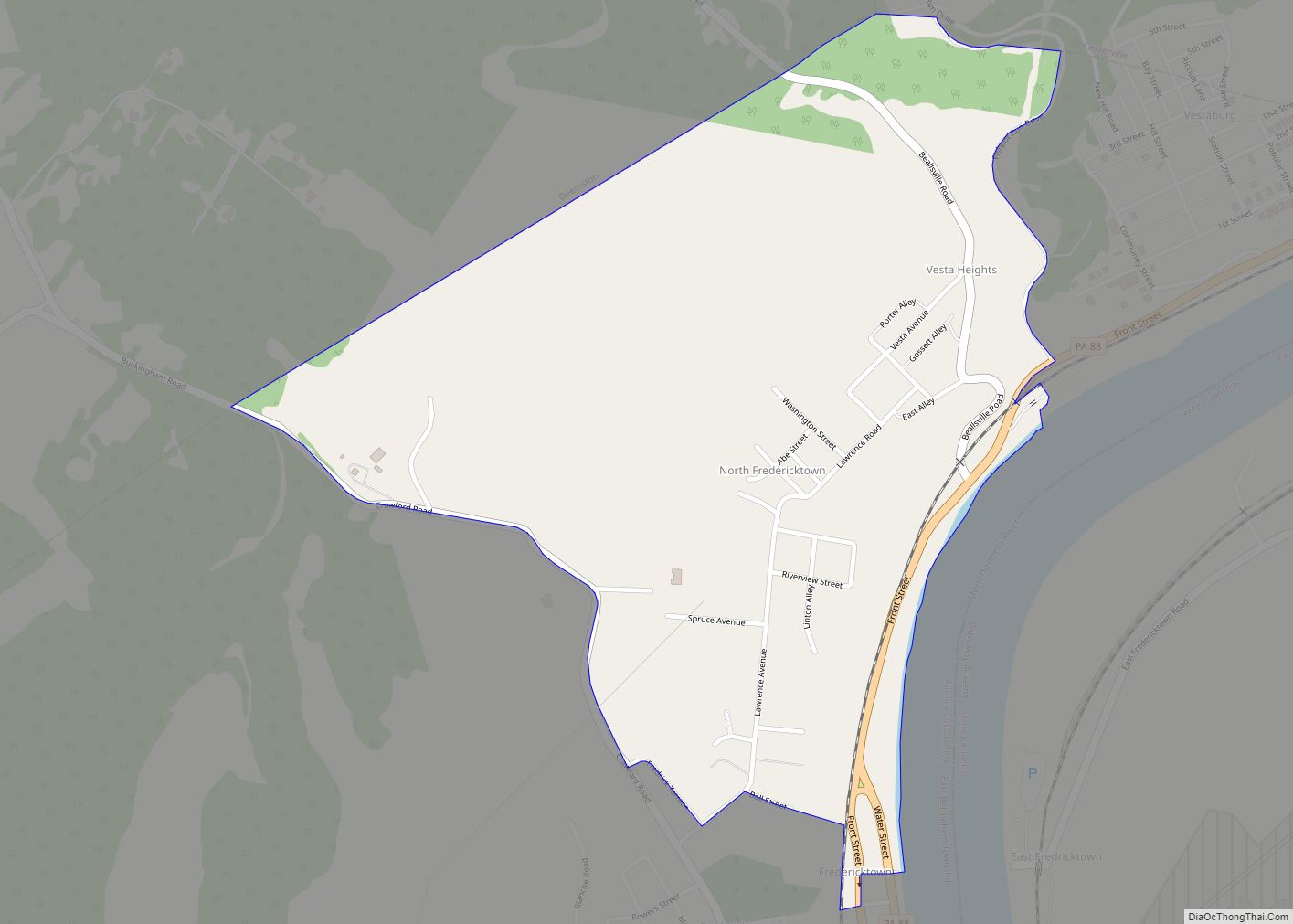
Houston is a borough in Washington County, Pennsylvania, United States. The population was 1,165 at the 2020 census.
Students in Houston and neighboring Chartiers Township attend school in the Chartiers-Houston School District.
| Name: | Houston borough |
|---|---|
| LSAD Code: | 21 |
| LSAD Description: | borough (suffix) |
| State: | Pennsylvania |
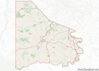
| County: | Washington County |
| Total Area: | 0.41 sq mi (1.06 km²) |
| Land Area: | 0.41 sq mi (1.06 km²) |
| Water Area: | 0.00 sq mi (0.00 km²) |
| Total Population: | 1,172 |
| Population Density: | 2,851.58/sq mi (1,101.31/km²) |
| Area code: | 724 |
| FIPS code: | 4235896 |
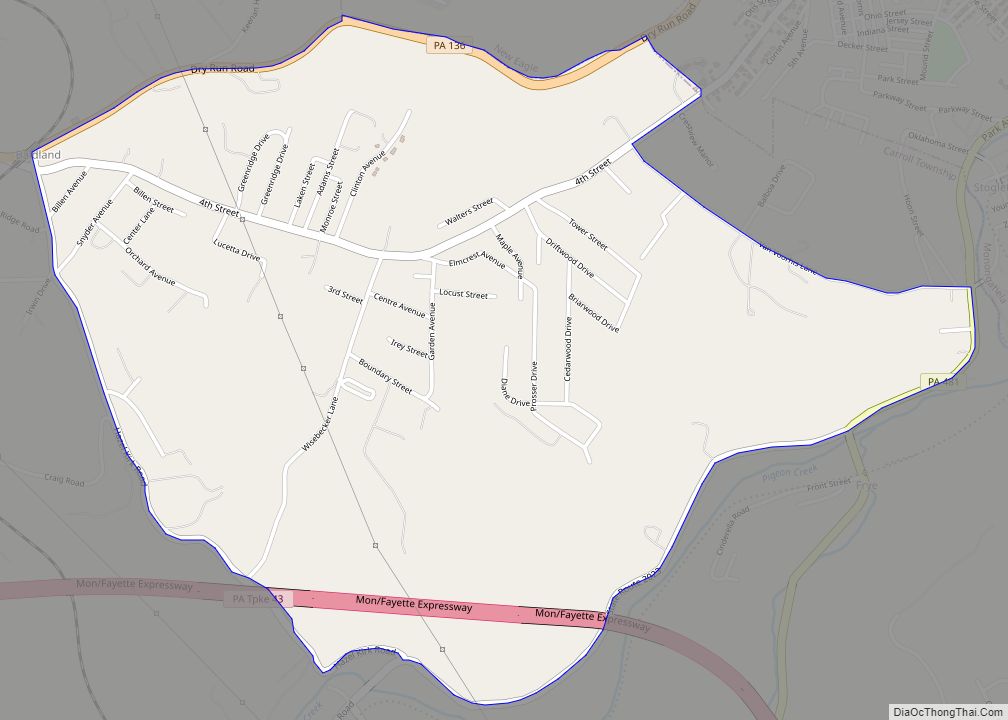
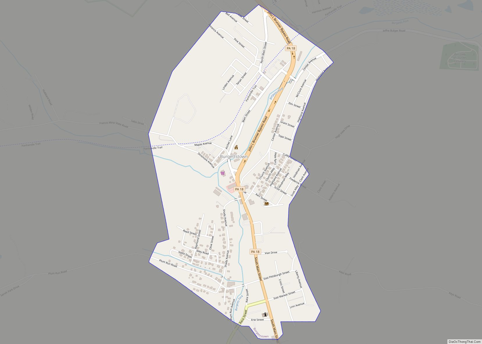
Online Interactive Map
Click on ![]() to view map in "full screen" mode.
to view map in "full screen" mode.
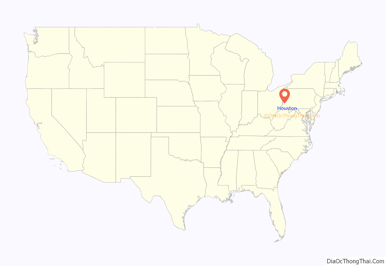
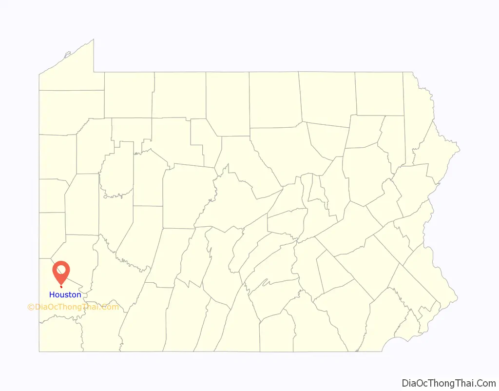
Houston location map. Where is Houston borough?
History
The land on which this town stands was part of a tract purchased from John Haft on January 24, 1827, by Daniel Houston, a near relative of Gen. Sam Houston, leader of the Texans in their war for independence from Mexico. After the Chartiers Valley Railroad was completed through that section in 1871, David C. Houston, a son of Daniel Houston, saw the possibilities of a town at that point and laid out the present plan of Houstonville. The first house in the new town was completed in the summer of 1871 by A. T. Haft and the second by J. C. Johnson. A few years later H. E. Riggle laid out a plan adjoining which was called Riggletown. On May 13, 1901, The Borough of Houston was incorporated from land of Chartiers & North Strabane Townships.
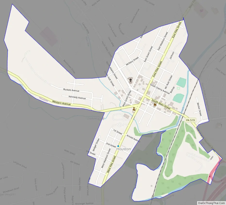
Houston Road Map
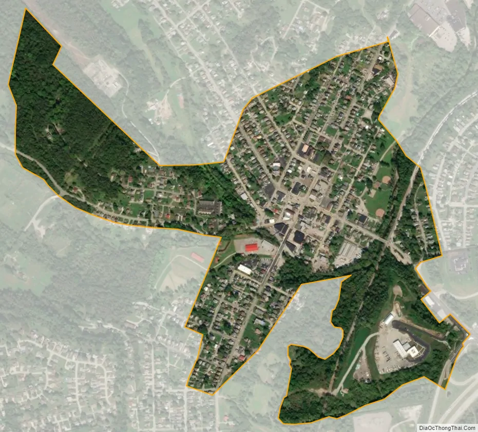
Houston city Satellite Map
Geography
Houston is located at 40°14′59″N 80°12′37″W / 40.24972°N 80.21028°W / 40.24972; -80.21028 (40.249790, -80.210275).
According to the United States Census Bureau, the borough has a total area of 0.4 square miles (1.0 km), all land. Several waterways go through Houston:
- Chartiers Creek flows through the borough.
- Chartiers Run joins Chartiers Creek at the borough of Houston.
- Plum Run joins Chartiers Run in the borough of Houston.
See also
Map of Pennsylvania State and its subdivision:- Adams
- Allegheny
- Armstrong
- Beaver
- Bedford
- Berks
- Blair
- Bradford
- Bucks
- Butler
- Cambria
- Cameron
- Carbon
- Centre
- Chester
- Clarion
- Clearfield
- Clinton
- Columbia
- Crawford
- Cumberland
- Dauphin
- Delaware
- Elk
- Erie
- Fayette
- Forest
- Franklin
- Fulton
- Greene
- Huntingdon
- Indiana
- Jefferson
- Juniata
- Lackawanna
- Lancaster
- Lawrence
- Lebanon
- Lehigh
- Luzerne
- Lycoming
- Mc Kean
- Mercer
- Mifflin
- Monroe
- Montgomery
- Montour
- Northampton
- Northumberland
- Perry
- Philadelphia
- Pike
- Potter
- Schuylkill
- Snyder
- Somerset
- Sullivan
- Susquehanna
- Tioga
- Union
- Venango
- Warren
- Washington
- Wayne
- Westmoreland
- Wyoming
- York
- Alabama
- Alaska
- Arizona
- Arkansas
- California
- Colorado
- Connecticut
- Delaware
- District of Columbia
- Florida
- Georgia
- Hawaii
- Idaho
- Illinois
- Indiana
- Iowa
- Kansas
- Kentucky
- Louisiana
- Maine
- Maryland
- Massachusetts
- Michigan
- Minnesota
- Mississippi
- Missouri
- Montana
- Nebraska
- Nevada
- New Hampshire
- New Jersey
- New Mexico
- New York
- North Carolina
- North Dakota
- Ohio
- Oklahoma
- Oregon
- Pennsylvania
- Rhode Island
- South Carolina
- South Dakota
- Tennessee
- Texas
- Utah
- Vermont
- Virginia
- Washington
- West Virginia
- Wisconsin
- Wyoming