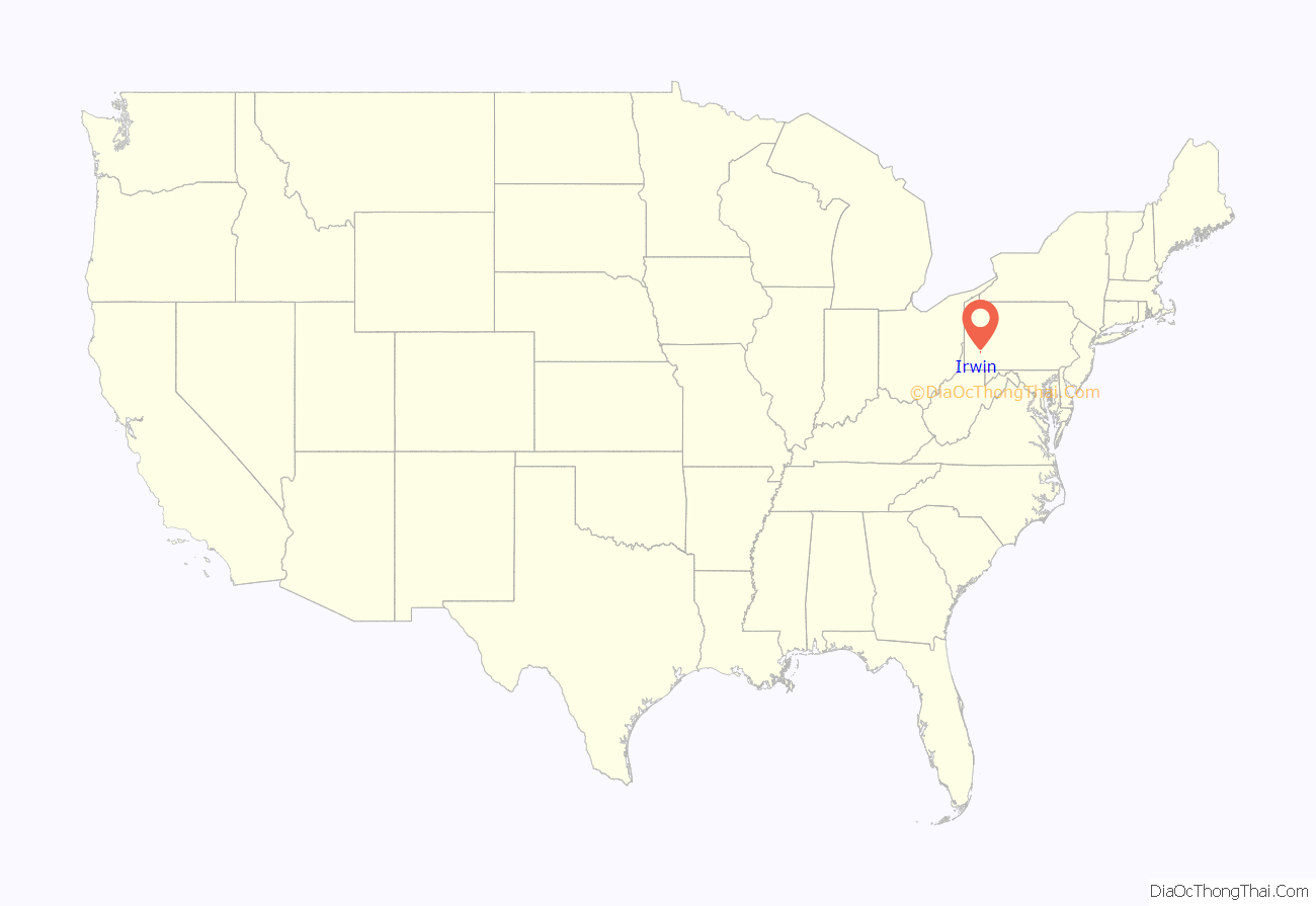
Irwin is a borough in Westmoreland County, Pennsylvania, 22 miles (35 km) southeast of Pittsburgh. Some of the most extensive bituminous coal deposits in the commonwealth are located here. In the past, iron foundries, flour mills, car shops, facing and planing mills, electricals goods, and mirror factories provided employment to the residents. In 1900, the population numbered 2,452; it increased to 2,886 in 1910. The population was 3,973 at the 2010 census.
| Name: | Irwin borough |
|---|---|
| LSAD Code: | 21 |
| LSAD Description: | borough (suffix) |
| State: | Pennsylvania |
| County: | Westmoreland County |
| Incorporated: | November 14, 1864 |
| Elevation: | 1,007 ft (307 m) |
| Total Area: | 0.84 sq mi (2.17 km²) |
| Land Area: | 0.84 sq mi (2.17 km²) |
| Water Area: | 0.00 sq mi (0.00 km²) |
| Total Population: | 3,902 |
| Population Density: | 4,661.89/sq mi (1,800.43/km²) |
| Area code: | 724 |
| FIPS code: | 4237208 |
Online Interactive Map
Click on ![]() to view map in "full screen" mode.
to view map in "full screen" mode.
Irwin location map. Where is Irwin borough?
History
Irwin was named for John Irwin, the original owner of the town site.
Irwin was the original western terminus of the Pennsylvania Turnpike when it opened in October 1940.
Brush Hill was listed on the National Register of Historic Places in 1975.
Irwin Road Map
Irwin city Satellite Map
Geography
According to the United States Census Bureau, the borough has a total area of 0.9 square miles (2.3 km), all land.
See also
Map of Pennsylvania State and its subdivision:- Adams
- Allegheny
- Armstrong
- Beaver
- Bedford
- Berks
- Blair
- Bradford
- Bucks
- Butler
- Cambria
- Cameron
- Carbon
- Centre
- Chester
- Clarion
- Clearfield
- Clinton
- Columbia
- Crawford
- Cumberland
- Dauphin
- Delaware
- Elk
- Erie
- Fayette
- Forest
- Franklin
- Fulton
- Greene
- Huntingdon
- Indiana
- Jefferson
- Juniata
- Lackawanna
- Lancaster
- Lawrence
- Lebanon
- Lehigh
- Luzerne
- Lycoming
- Mc Kean
- Mercer
- Mifflin
- Monroe
- Montgomery
- Montour
- Northampton
- Northumberland
- Perry
- Philadelphia
- Pike
- Potter
- Schuylkill
- Snyder
- Somerset
- Sullivan
- Susquehanna
- Tioga
- Union
- Venango
- Warren
- Washington
- Wayne
- Westmoreland
- Wyoming
- York
- Alabama
- Alaska
- Arizona
- Arkansas
- California
- Colorado
- Connecticut
- Delaware
- District of Columbia
- Florida
- Georgia
- Hawaii
- Idaho
- Illinois
- Indiana
- Iowa
- Kansas
- Kentucky
- Louisiana
- Maine
- Maryland
- Massachusetts
- Michigan
- Minnesota
- Mississippi
- Missouri
- Montana
- Nebraska
- Nevada
- New Hampshire
- New Jersey
- New Mexico
- New York
- North Carolina
- North Dakota
- Ohio
- Oklahoma
- Oregon
- Pennsylvania
- Rhode Island
- South Carolina
- South Dakota
- Tennessee
- Texas
- Utah
- Vermont
- Virginia
- Washington
- West Virginia
- Wisconsin
- Wyoming
