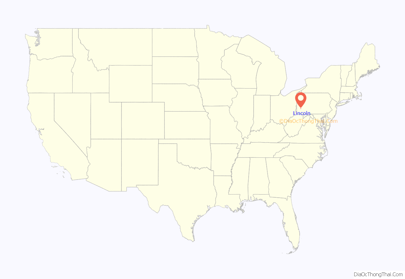
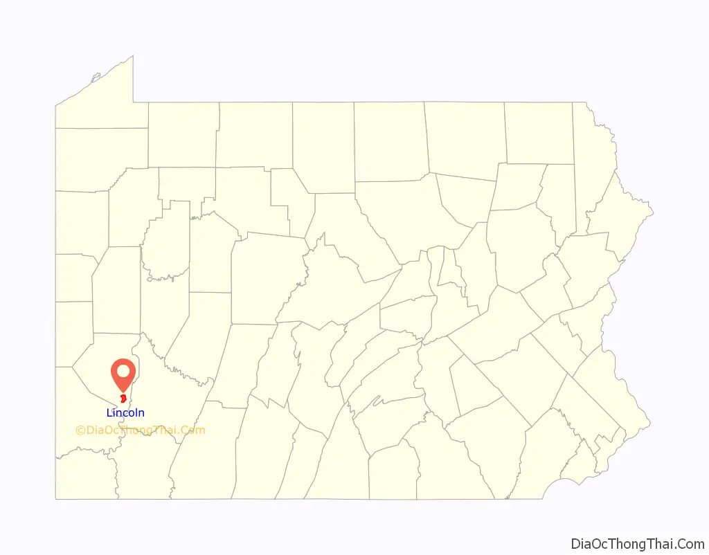
Lincoln is a borough in Allegheny County, Pennsylvania, United States. The population was 932 at the 2020 United States Census.
Lincoln does not have its own post office. Three ZIP codes are used in the borough: 15133 for the northern portion of the borough adjacent to Liberty; 15135 for the eastern portion adjacent to the city of McKeesport; 15037 for the remainder of the borough, with mail addressed to Elizabeth.
| Name: | Lincoln borough |
|---|---|
| LSAD Code: | 21 |
| LSAD Description: | borough (suffix) |
| State: | Pennsylvania |
| County: | Allegheny County |
| Elevation: | 1,122 ft (342 m) |
| Total Area: | 5.01 sq mi (12.99 km²) |
| Land Area: | 4.80 sq mi (12.43 km²) |
| Water Area: | 0.21 sq mi (0.55 km²) |
| Total Population: | 932 |
| Population Density: | 194.17/sq mi (74.97/km²) |
| ZIP code: | 15133, 15135, 15037 |
| FIPS code: | 4243408 |
| Website: | www.lincolnborough.com |
Online Interactive Map
Click on ![]() to view map in "full screen" mode.
to view map in "full screen" mode.
Lincoln location map. Where is Lincoln borough?
History
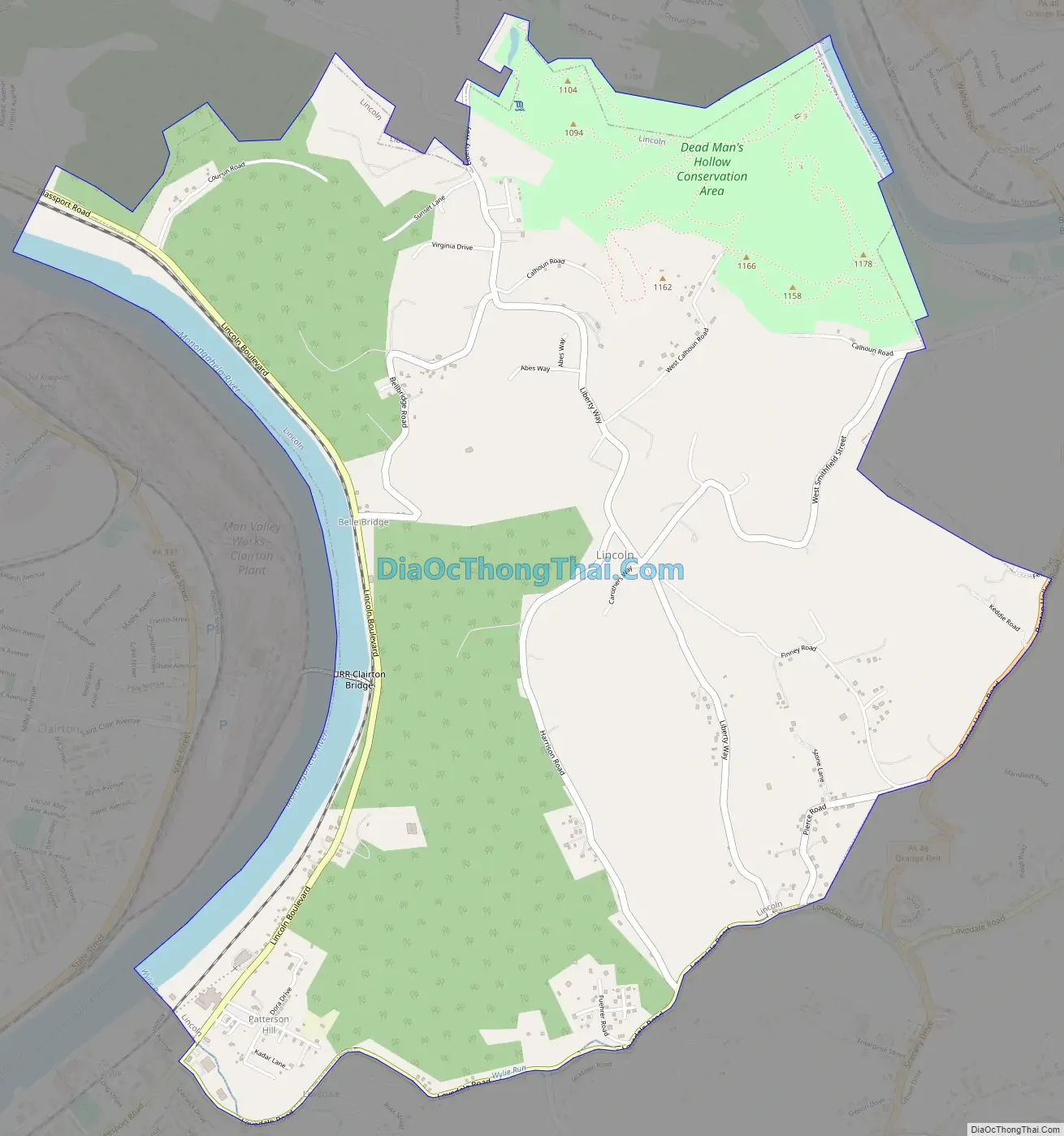
The borough was named for Abraham Lincoln. Lincoln was incorporated on February 6, 1958, before which it was Lincoln Township. The change in governmental structure came after a portion of the borough attempted to secede from Lincoln Township to annex with Liberty Borough. Dead Man’s Hollow is a 450-acre conservation area whose boundary lies within the borough.
Lincoln Road Map
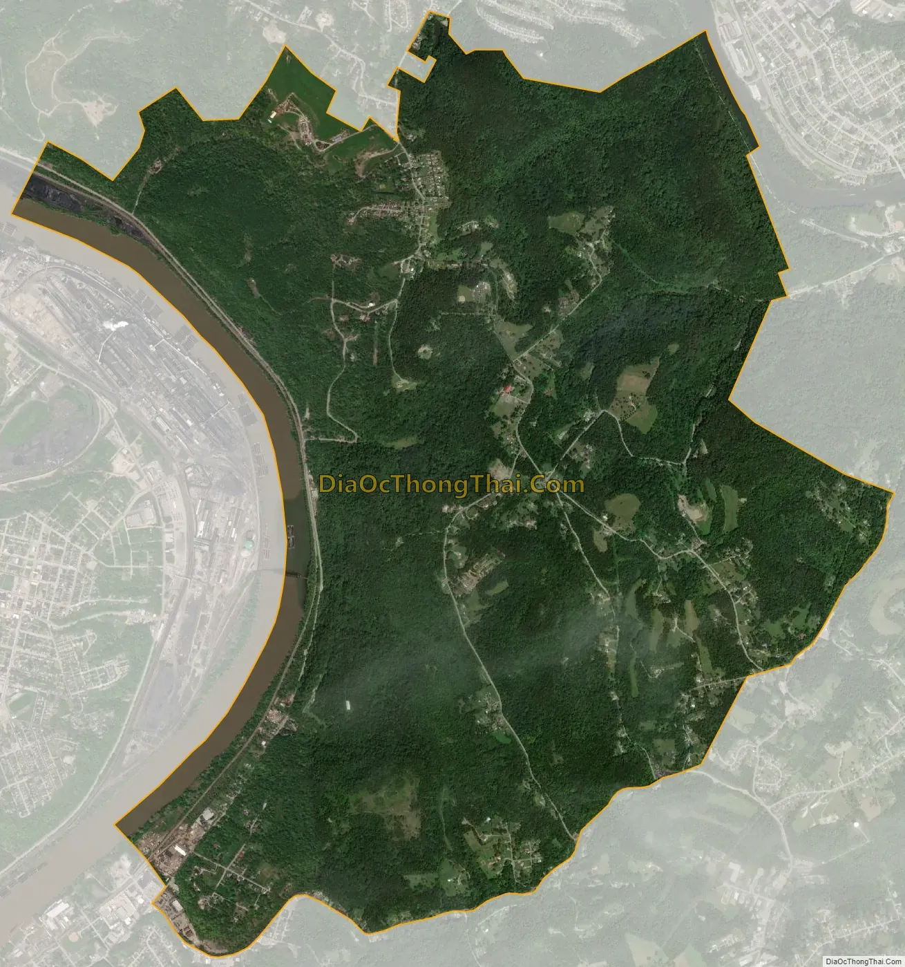
Lincoln city Satellite Map
Geography
Lincoln is located at 40°17′27″N 79°51′5″W / 40.29083°N 79.85139°W / 40.29083; -79.85139 (40.291939, -79.851303). It is bounded by Glassport to the northwest, Liberty to the north, Versailles to the northeast, Elizabeth Township and the Youghiogheny River to the east and south, and Jefferson Hills, Clairton, and the Monongahela River to the west. The borough has a total area of 5.0 square miles (13 km), of which 4.8 square miles (12 km) is land and 0.2 square miles (0.52 km), or 4.57%, is water.
See also
Map of Pennsylvania State and its subdivision:- Adams
- Allegheny
- Armstrong
- Beaver
- Bedford
- Berks
- Blair
- Bradford
- Bucks
- Butler
- Cambria
- Cameron
- Carbon
- Centre
- Chester
- Clarion
- Clearfield
- Clinton
- Columbia
- Crawford
- Cumberland
- Dauphin
- Delaware
- Elk
- Erie
- Fayette
- Forest
- Franklin
- Fulton
- Greene
- Huntingdon
- Indiana
- Jefferson
- Juniata
- Lackawanna
- Lancaster
- Lawrence
- Lebanon
- Lehigh
- Luzerne
- Lycoming
- Mc Kean
- Mercer
- Mifflin
- Monroe
- Montgomery
- Montour
- Northampton
- Northumberland
- Perry
- Philadelphia
- Pike
- Potter
- Schuylkill
- Snyder
- Somerset
- Sullivan
- Susquehanna
- Tioga
- Union
- Venango
- Warren
- Washington
- Wayne
- Westmoreland
- Wyoming
- York
- Alabama
- Alaska
- Arizona
- Arkansas
- California
- Colorado
- Connecticut
- Delaware
- District of Columbia
- Florida
- Georgia
- Hawaii
- Idaho
- Illinois
- Indiana
- Iowa
- Kansas
- Kentucky
- Louisiana
- Maine
- Maryland
- Massachusetts
- Michigan
- Minnesota
- Mississippi
- Missouri
- Montana
- Nebraska
- Nevada
- New Hampshire
- New Jersey
- New Mexico
- New York
- North Carolina
- North Dakota
- Ohio
- Oklahoma
- Oregon
- Pennsylvania
- Rhode Island
- South Carolina
- South Dakota
- Tennessee
- Texas
- Utah
- Vermont
- Virginia
- Washington
- West Virginia
- Wisconsin
- Wyoming


