Linesville is a borough in Crawford County, Pennsylvania, United States. The population was 964 at the 2020 census, down from 987 at the 2019 census. The town derives its name from its founders, who included William Line (the grandson of a Swiss immigrant), who migrated from Carlisle, Pennsylvania, circa the early 1820s, and his relative, Amos Line, who was the town’s surveyor and main proprietor. Amos Line “penetrated the western Pennsylvania wilderness as a member of the Pennsylvania Population Company in the early 1800s.”
| Name: | Linesville borough |
|---|---|
| LSAD Code: | 21 |
| LSAD Description: | borough (suffix) |
| State: | Pennsylvania |
| County: | Crawford County |
| Founded: | 1824 |
| Total Area: | 0.77 sq mi (2.01 km²) |
| Land Area: | 0.77 sq mi (2.01 km²) |
| Water Area: | 0.00 sq mi (0.00 km²) |
| Total Population: | 962 |
| Population Density: | 1,242.89/sq mi (479.72/km²) |
| Area code: | 814 |
| FIPS code: | 4243656 |
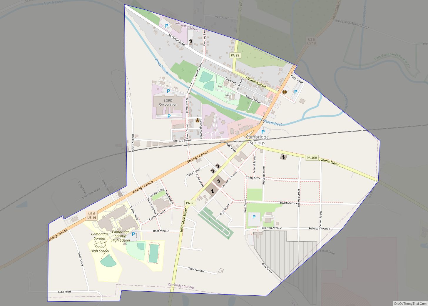
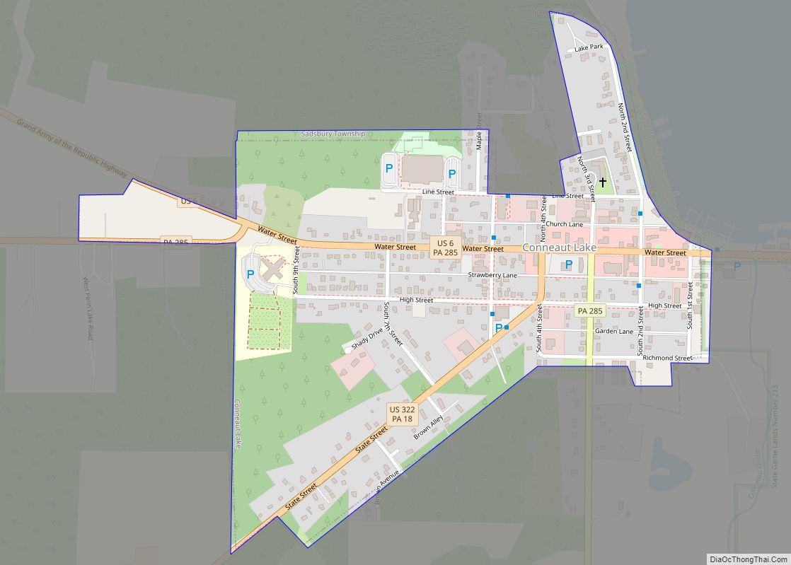
Online Interactive Map
Click on ![]() to view map in "full screen" mode.
to view map in "full screen" mode.
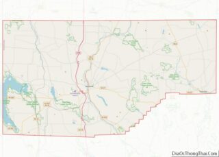
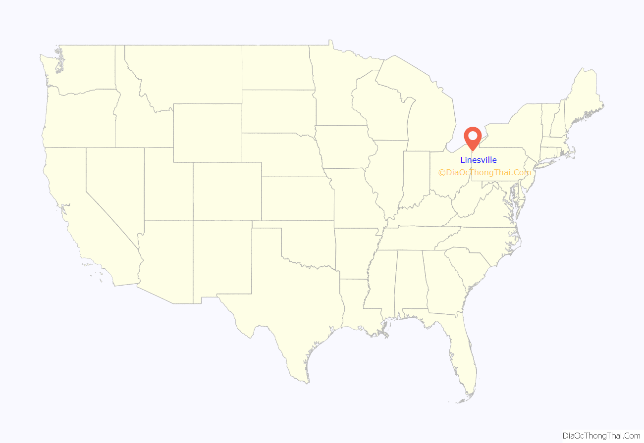
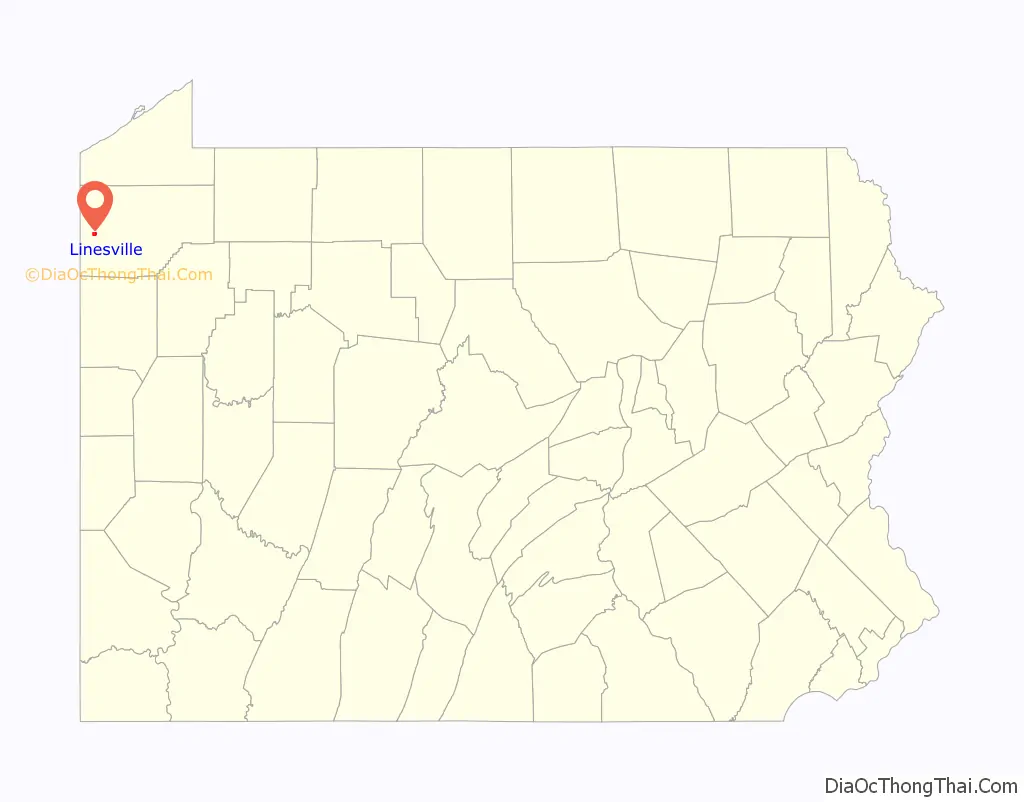
Linesville location map. Where is Linesville borough?
History
According to the town’s history, Linesville was settled by Amos Line, who was born in Scotch Plains, New Jersey. “Line established a mill at the site in 1820. The village was laid out in 1825. It was first known as Line’s Mills, but the name was changed to Linesville Station in 1864. It was not known as Linesville until 1883. It was incorporated from Pine Township on March 22, 1862.
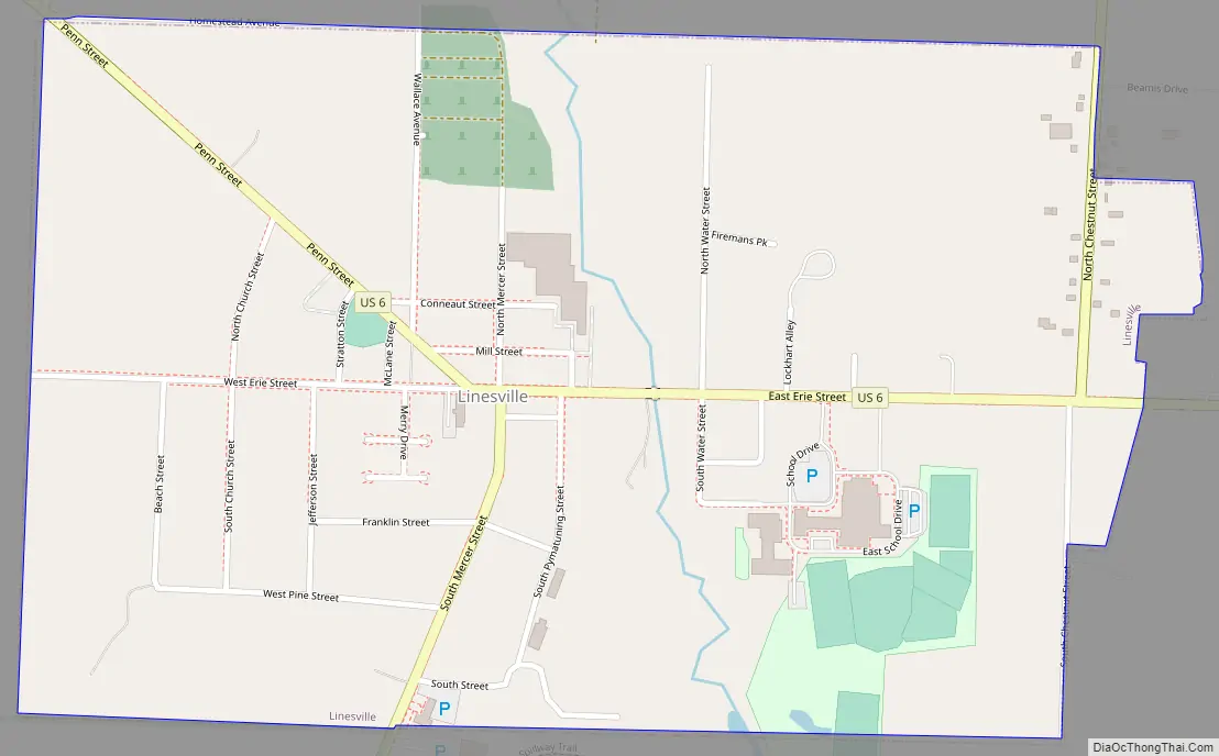
Linesville Road Map
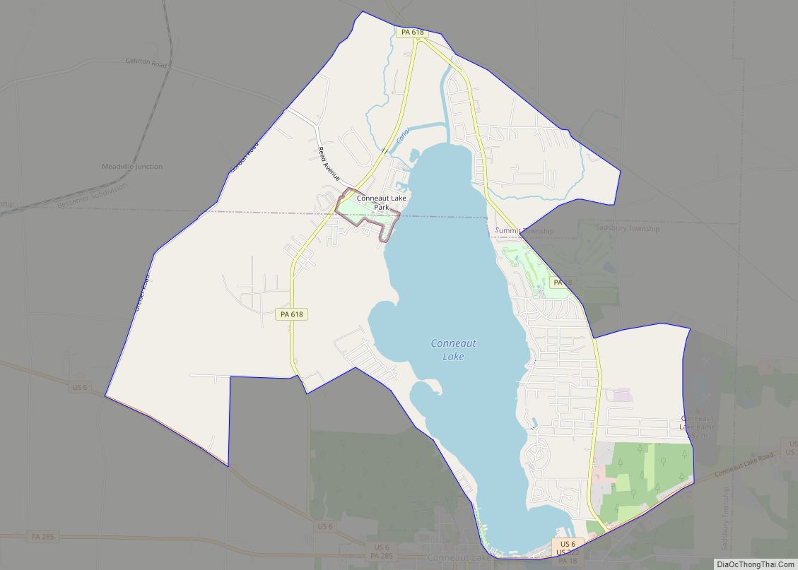
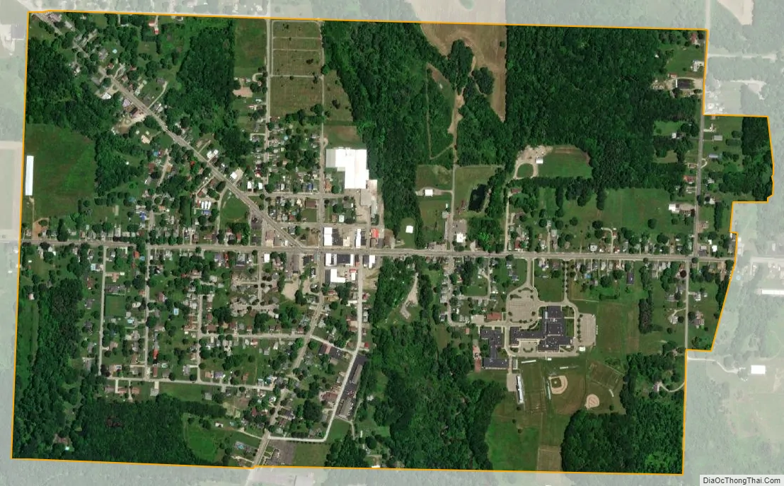
Linesville city Satellite Map
Geography
Linesville is located in western Crawford County at 41°39′23″N 80°25′28″W / 41.65639°N 80.42444°W / 41.65639; -80.42444 (41.656489, -80.424430). It is surrounded by Pine Township, a separate municipality.
According to the United States Census Bureau, the borough has a total area of 0.77 square miles (2.0 km), all land. The borough is located just north of the northeast end of Pymatuning Reservoir.
U.S. Route 6 passes through the center of Linesville, leading east 17 miles (27 km) to Meadville, the Crawford County seat, and northwest then south 16 miles (26 km) to Andover, Ohio. South Mercer Street provides a shorter route to Andover (10 miles (16 km)), leading south across the Linesville Spillway of Pymatuning Lake to Pennsylvania Route 285.
Climate
See also
Map of Pennsylvania State and its subdivision:- Adams
- Allegheny
- Armstrong
- Beaver
- Bedford
- Berks
- Blair
- Bradford
- Bucks
- Butler
- Cambria
- Cameron
- Carbon
- Centre
- Chester
- Clarion
- Clearfield
- Clinton
- Columbia
- Crawford
- Cumberland
- Dauphin
- Delaware
- Elk
- Erie
- Fayette
- Forest
- Franklin
- Fulton
- Greene
- Huntingdon
- Indiana
- Jefferson
- Juniata
- Lackawanna
- Lancaster
- Lawrence
- Lebanon
- Lehigh
- Luzerne
- Lycoming
- Mc Kean
- Mercer
- Mifflin
- Monroe
- Montgomery
- Montour
- Northampton
- Northumberland
- Perry
- Philadelphia
- Pike
- Potter
- Schuylkill
- Snyder
- Somerset
- Sullivan
- Susquehanna
- Tioga
- Union
- Venango
- Warren
- Washington
- Wayne
- Westmoreland
- Wyoming
- York
- Alabama
- Alaska
- Arizona
- Arkansas
- California
- Colorado
- Connecticut
- Delaware
- District of Columbia
- Florida
- Georgia
- Hawaii
- Idaho
- Illinois
- Indiana
- Iowa
- Kansas
- Kentucky
- Louisiana
- Maine
- Maryland
- Massachusetts
- Michigan
- Minnesota
- Mississippi
- Missouri
- Montana
- Nebraska
- Nevada
- New Hampshire
- New Jersey
- New Mexico
- New York
- North Carolina
- North Dakota
- Ohio
- Oklahoma
- Oregon
- Pennsylvania
- Rhode Island
- South Carolina
- South Dakota
- Tennessee
- Texas
- Utah
- Vermont
- Virginia
- Washington
- West Virginia
- Wisconsin
- Wyoming