Loganville, which was founded in 1820 and named after Colonel Henry Logan, is a borough in York County, Pennsylvania, United States.
The population was 1,427 at the time of the 2020 census.
| Name: | Loganville borough |
|---|---|
| LSAD Code: | 21 |
| LSAD Description: | borough (suffix) |
| State: | Pennsylvania |
| County: | York County |
| Incorporated: | 1852 |
| Elevation: | 778 ft (237 m) |
| Total Area: | 1.00 sq mi (2.59 km²) |
| Land Area: | 1.00 sq mi (2.59 km²) |
| Water Area: | 0.00 sq mi (0.00 km²) |
| Total Population: | 1,426 |
| Population Density: | 1,426.00/sq mi (550.49/km²) |
| ZIP code: | 17342 |
| Area code: | 717 |
| FIPS code: | 4244416 |
| Website: | www.loganvillepa.us |
Online Interactive Map
Click on ![]() to view map in "full screen" mode.
to view map in "full screen" mode.
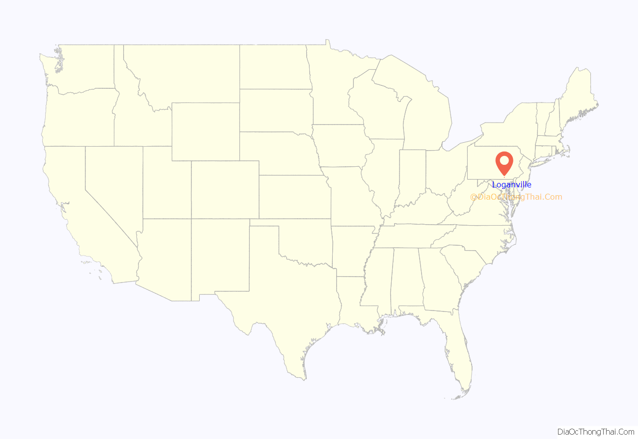
Loganville location map. Where is Loganville borough?
History
Established in the center of Springfield Township in York County, Pennsylvania in 1820, the land which would ultimately become the community of Loganville was surveyed by Robert Richie and plotted by auctioneer Robert Wilson, who later named the town in honor of Colonel Henry Logan, a prominent, 19th-century politician.
Wilson subsequently established the town’s first post office, operating it from his home as his new town’s first postmaster. He was succeeded by Samuel Keyser.
The town’s first store was operated by Jacob Gipe; additional stores were subsequently opened and operated by Frederick Asper, Paul Burbank and Frederick Overmiller. Between 1830 and 1840, the town grew from one store, one hotel and twelve houses to include a total of twenty houses and a population of ninety.
The town was subsequently incorporated as a borough on April 2, 1852. Its first elected officials were Chief Burgess John F. Beck Sr., Assistant Burgess Michael Snyder, Judge John F. Beck, Constable Charles Overmiller, and borough council members Daniel Goodling, John Hildebrand, Adam Krout, Samuel Smith, and Frederick Venus. School directors were Joseph Hartman, Casper Hildebrand and Henry Kerlinger. Jacob Glatfelter and George H. Reever held positions as inspectors.
On August 20, 1858, musicians Henry Decker and Henry Kerlinger succeeded in forming the Loganville Cornet Band. The original membership roster also included Deterich Hildebrand.
George P. Yost, MD and George W. Holtzapple, MD were two of the community’s first physicians.
By 1880, the borough’s population had climbed to three hundred and twelve.
By the middle of that decade, leaders of the increasingly popular Logan Cornet Band had increased the ensemble’s membership to twenty and had purchased new silver-plated instruments for its members, as well as a concert hall in which to host the band’s performances.
Teachers in the community’s public schools at that time included J. M. Bailey and E. B. Goodling.
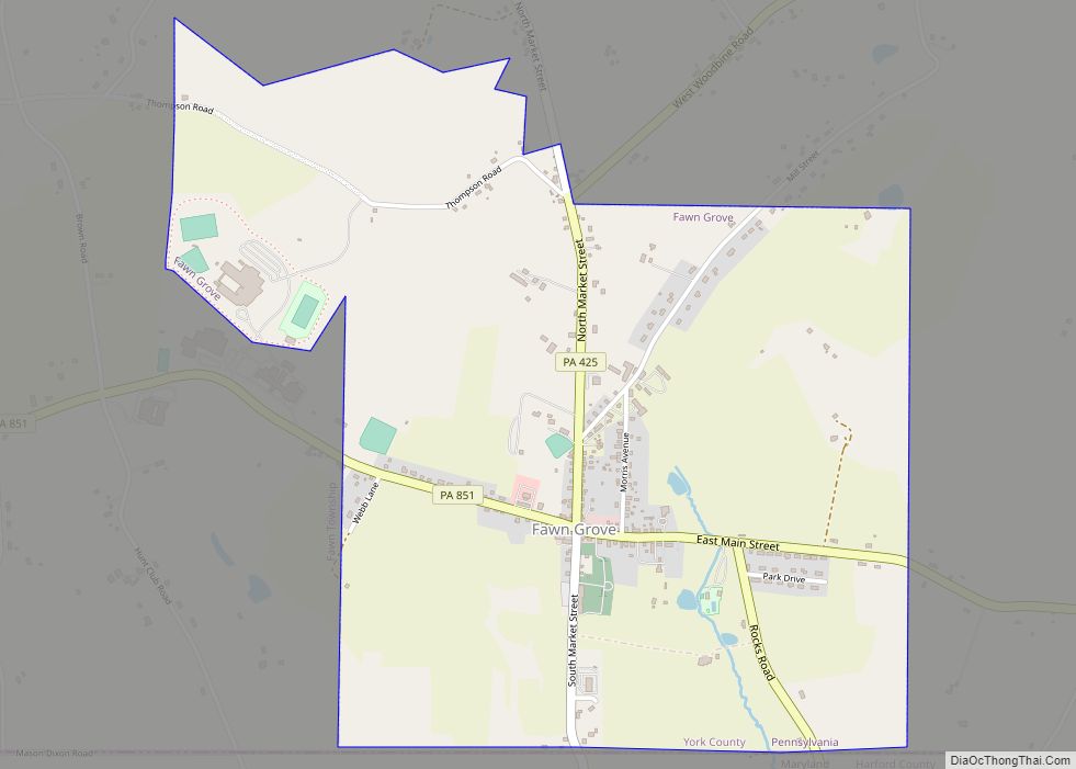
Loganville Road Map
Loganville city Satellite Map
Geography
Loganville is located at 39°51′19″N 76°42′30″W / 39.85528°N 76.70833°W / 39.85528; -76.70833 (39.855156, -76.708459).
According to the United States Census Bureau, the borough has a total area of 1.0 square mile (2.6 km), all land.
See also
Map of Pennsylvania State and its subdivision:- Adams
- Allegheny
- Armstrong
- Beaver
- Bedford
- Berks
- Blair
- Bradford
- Bucks
- Butler
- Cambria
- Cameron
- Carbon
- Centre
- Chester
- Clarion
- Clearfield
- Clinton
- Columbia
- Crawford
- Cumberland
- Dauphin
- Delaware
- Elk
- Erie
- Fayette
- Forest
- Franklin
- Fulton
- Greene
- Huntingdon
- Indiana
- Jefferson
- Juniata
- Lackawanna
- Lancaster
- Lawrence
- Lebanon
- Lehigh
- Luzerne
- Lycoming
- Mc Kean
- Mercer
- Mifflin
- Monroe
- Montgomery
- Montour
- Northampton
- Northumberland
- Perry
- Philadelphia
- Pike
- Potter
- Schuylkill
- Snyder
- Somerset
- Sullivan
- Susquehanna
- Tioga
- Union
- Venango
- Warren
- Washington
- Wayne
- Westmoreland
- Wyoming
- York
- Alabama
- Alaska
- Arizona
- Arkansas
- California
- Colorado
- Connecticut
- Delaware
- District of Columbia
- Florida
- Georgia
- Hawaii
- Idaho
- Illinois
- Indiana
- Iowa
- Kansas
- Kentucky
- Louisiana
- Maine
- Maryland
- Massachusetts
- Michigan
- Minnesota
- Mississippi
- Missouri
- Montana
- Nebraska
- Nevada
- New Hampshire
- New Jersey
- New Mexico
- New York
- North Carolina
- North Dakota
- Ohio
- Oklahoma
- Oregon
- Pennsylvania
- Rhode Island
- South Carolina
- South Dakota
- Tennessee
- Texas
- Utah
- Vermont
- Virginia
- Washington
- West Virginia
- Wisconsin
- Wyoming
