Loretto is a borough in Cambria County, Pennsylvania, United States. As of the 2010 census it had a population of 1,302. Like the rest of Cambria County, it is part of the Johnstown, Pennsylvania Metropolitan Statistical Area. Loretto is the home of Saint Francis University.
| Name: | Loretto borough |
|---|---|
| LSAD Code: | 21 |
| LSAD Description: | borough (suffix) |
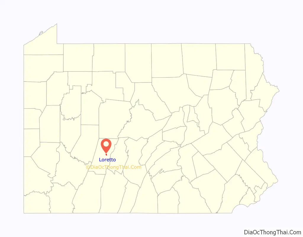
| State: | Pennsylvania |
| County: | Cambria County |
| Incorporated: | 1845 |
| Elevation: | 1,952 ft (595 m) |
| Total Area: | 0.98 sq mi (2.55 km²) |
| Land Area: | 0.98 sq mi (2.55 km²) |
| Water Area: | 0.00 sq mi (0.00 km²) |
| Total Population: | 1,196 |
| Population Density: | 1,215.45/sq mi (469.48/km²) |
| ZIP code: | 15940 |
| Area code: | 814 |
| FIPS code: | 4244704 |
| GNISfeature ID: | 1215028 |
Online Interactive Map
Click on ![]() to view map in "full screen" mode.
to view map in "full screen" mode.
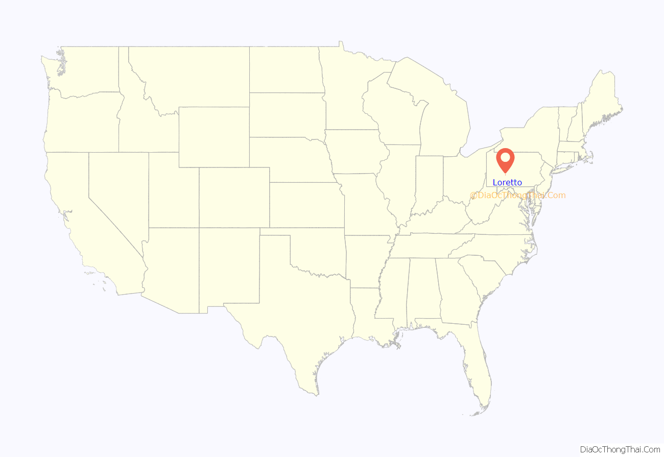
Loretto location map. Where is Loretto borough?
History
Loretto was founded in 1799 by Demetrius Augustine Gallitzin as the first English-speaking Catholic settlement west of the Allegheny Front. He named it after the town of Loreto, Italy, site of a Catholic place of pilgrimage. Loretto was built adjoining the original settlement founded by Captain Michael McGuire, a Revolutionary War veteran, in 1788. In his will, Captain McGuire donated land to the Catholic Church on which Prince Gallitzin built St. Michael’s Church in 1799.
Federal Correctional Institution, Loretto, is a U.S. federal prison located 0.5 miles (0.80 km) southeast of Loretto, on the site of a former Catholic seminary.
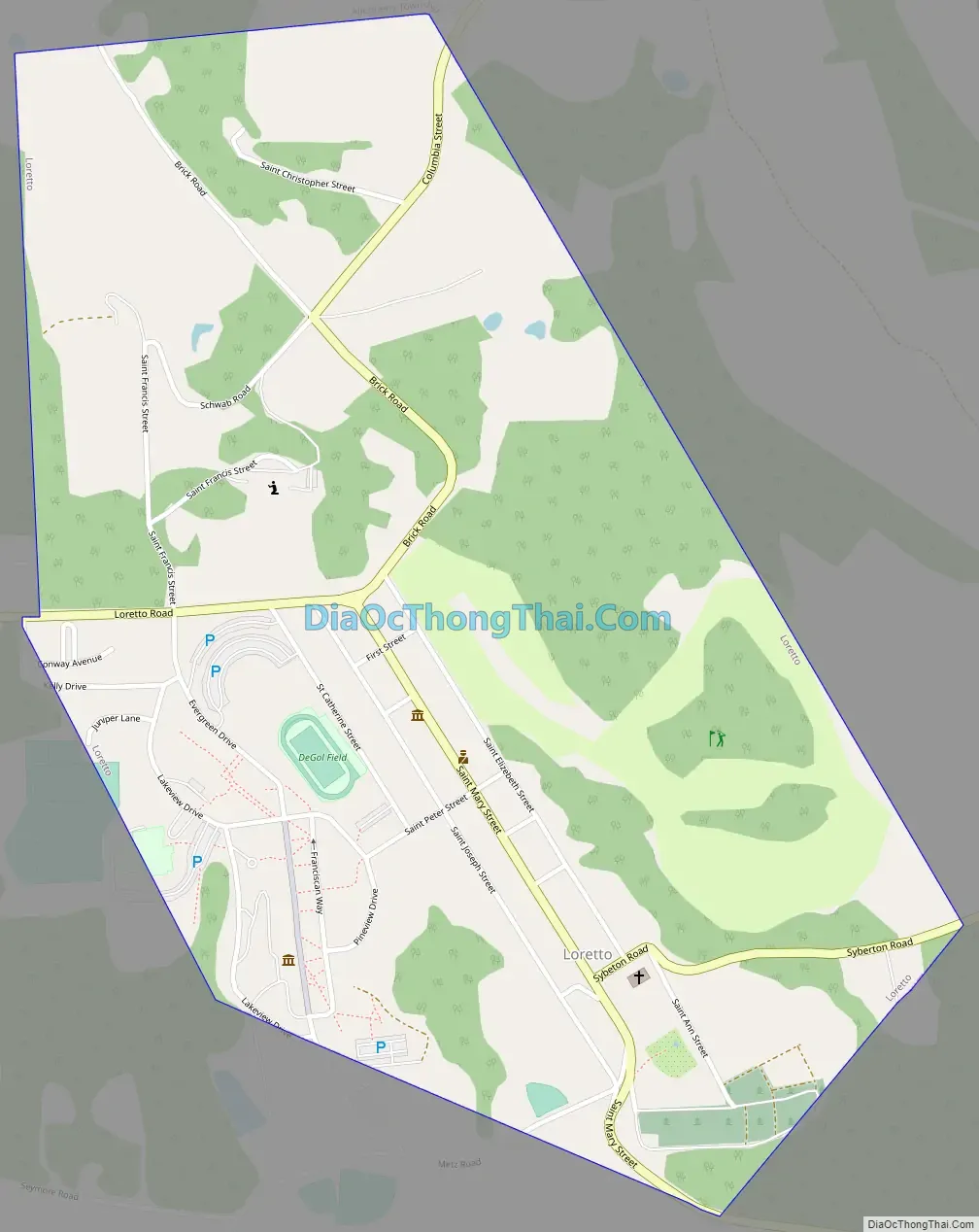
Loretto Road Map
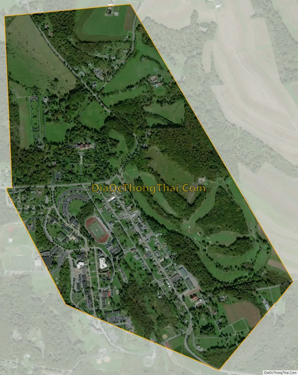
Loretto city Satellite Map
Geography
Loretto is located in east-central Cambria County at 40°30′23″N 78°38′10″W / 40.50639°N 78.63611°W / 40.50639; -78.63611 (40.506355, -78.636066). It is 6 miles (10 km) east of Ebensburg, the Cambria County seat, and 17 miles (27 km) west of Altoona. Johnstown is 25 miles (40 km) to the southwest.
According to the U.S. Census Bureau, the borough of Loretto has a total area of 0.97 square miles (2.5 km), all land.
Saint Francis University, an institute of higher learning with an enrollment of 2,210, occupies the southwestern quadrant of the borough.
See also
Map of Pennsylvania State and its subdivision:- Adams
- Allegheny
- Armstrong
- Beaver
- Bedford
- Berks
- Blair
- Bradford
- Bucks
- Butler
- Cambria
- Cameron
- Carbon
- Centre
- Chester
- Clarion
- Clearfield
- Clinton
- Columbia
- Crawford
- Cumberland
- Dauphin
- Delaware
- Elk
- Erie
- Fayette
- Forest
- Franklin
- Fulton
- Greene
- Huntingdon
- Indiana
- Jefferson
- Juniata
- Lackawanna
- Lancaster
- Lawrence
- Lebanon
- Lehigh
- Luzerne
- Lycoming
- Mc Kean
- Mercer
- Mifflin
- Monroe
- Montgomery
- Montour
- Northampton
- Northumberland
- Perry
- Philadelphia
- Pike
- Potter
- Schuylkill
- Snyder
- Somerset
- Sullivan
- Susquehanna
- Tioga
- Union
- Venango
- Warren
- Washington
- Wayne
- Westmoreland
- Wyoming
- York
- Alabama
- Alaska
- Arizona
- Arkansas
- California
- Colorado
- Connecticut
- Delaware
- District of Columbia
- Florida
- Georgia
- Hawaii
- Idaho
- Illinois
- Indiana
- Iowa
- Kansas
- Kentucky
- Louisiana
- Maine
- Maryland
- Massachusetts
- Michigan
- Minnesota
- Mississippi
- Missouri
- Montana
- Nebraska
- Nevada
- New Hampshire
- New Jersey
- New Mexico
- New York
- North Carolina
- North Dakota
- Ohio
- Oklahoma
- Oregon
- Pennsylvania
- Rhode Island
- South Carolina
- South Dakota
- Tennessee
- Texas
- Utah
- Vermont
- Virginia
- Washington
- West Virginia
- Wisconsin
- Wyoming


