Lower Burrell is a city in northern Westmoreland County, Pennsylvania, United States, along the Allegheny River. Located approximately 18 miles northeast of downtown Pittsburgh, it is part of the Pittsburgh metropolitan area. The population was 11,758 at the 2020 census.
| Name: | Lower Burrell city |
|---|---|
| LSAD Code: | 25 |
| LSAD Description: | city (suffix) |
| State: | Pennsylvania |
| County: | Westmoreland County |
| Total Area: | 11.52 sq mi (29.83 km²) |
| Land Area: | 11.27 sq mi (29.19 km²) |
| Water Area: | 0.25 sq mi (0.65 km²) |
| Total Population: | 11,758 |
| Population Density: | 1,043.30/sq mi (402.84/km²) |
| FIPS code: | 4244864 |
| Website: | http://www.cityoflowerburrell.com/ |
Online Interactive Map
Click on ![]() to view map in "full screen" mode.
to view map in "full screen" mode.
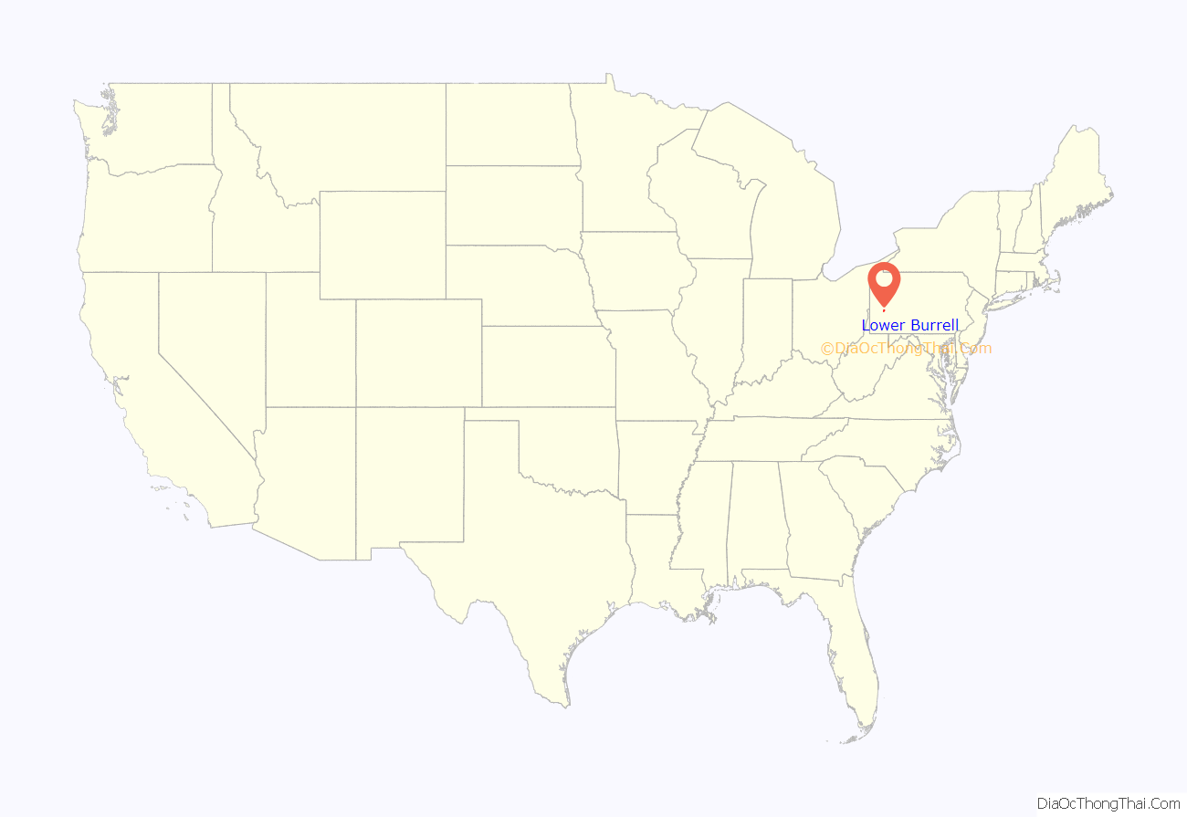
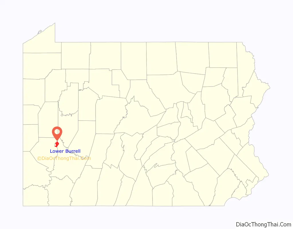
Lower Burrell location map. Where is Lower Burrell city?
History
The region in which Lower Burrell is located was originally part of the hunting reserves of the Iroquois. Permanent European settlement began in the 1760s, and Westmoreland County was created in 1773. In 1852, due to an increase in population in the area, Burrell Township was carved out of Allegheny Township on court order of Judge Jeremiah Murry Burrell. In 1879 Burrell Township was divided into two separate townships, Lower Burrell and Upper Burrell. The present-day cities of New Kensington and Arnold were once part of Lower Burrell Township. In the years that followed, Lower Burrell transformed from a quiet, rural farm community to a residential and commercial area while Upper Burrell stayed primarily rural. Upper Burrell Township is still somewhat rural, though it has experienced some suburban growth and sprawl in recent years.
In 1959, in the midst of the growth of their community, township residents voted to make Lower Burrell a third class city. Lower Burrell continued to grow substantially until the 1980s. Like many communities in Western Pennsylvania, Lower Burrell suffered economic and population stagnation with the collapse of local heavy industry. Since the early 1990s, Lower Burrell experienced slight growth, though one of its only large shopping centers remains mostly vacant. Preliminary data from the 2010 census shows that Lower Burrell has lost about 5 percent of its population since 2000.
The Allegheny River Lock and Dam No. 4 was listed on the National Register of Historic Places in 2000.
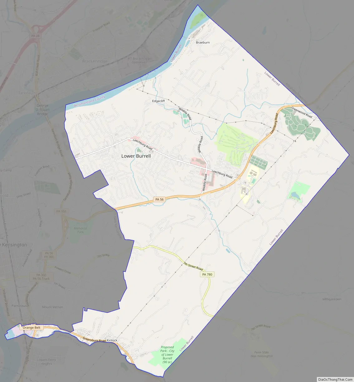
Lower Burrell Road Map
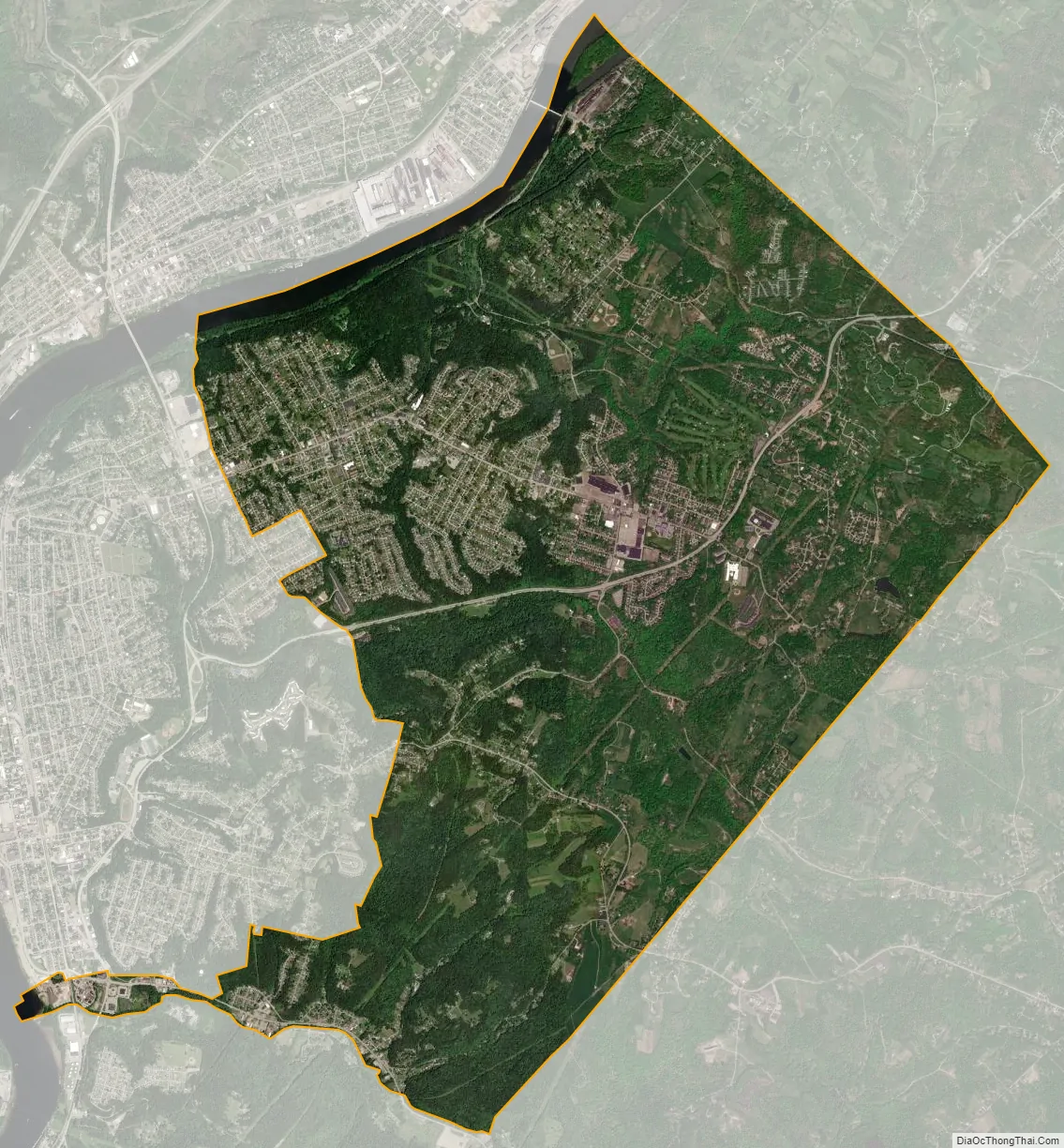
Lower Burrell city Satellite Map
Geography
Lower Burrell is located at 40°35′2″N 79°43′19″W / 40.58389°N 79.72194°W / 40.58389; -79.72194 (40.583966, -79.721948).
According to the United States Census Bureau, the city has a total area of 11.8 square miles (31 km), of which 11.6 square miles (30 km) is land and 0.3 square miles (0.78 km) (2.28%) is water.
Informally, the city is divided into different neighborhoods and areas including Bon Air, Braeburn, Braeburn Heights, Central City, Edgecliff, Gladeview, Indian Fields I & II and Kinloch. Lower Burrell’s central Business District overlaps Bon Air-Central City-Gladeview neighborhoods.
Lower Burrell is located in the Appalachian Plateau, the western portion of the Appalachian Mountain range. The landscape varies greatly, with large swaths of flat land (typically in Bon Air, Central City and Gladeview) to areas with gentle slopes, and even steep cliffs and hillsides in certain areas. The city is bounded on the north and southwestern corner by the Allegheny River. Jacks Island, a river island approximately 0.96 km (0.60 mi) in length, is located near the Braeburn neighborhood.
Streams
- Pucketa Creek joins the Allegheny River where the creek forms the boundary between both the city of Lower Burrell and the borough of Plum.
- Little Pucketa Creek joins Pucketa Creek at Lower Burrell.
- Chartiers Run joins the Allegheny River at Lower Burrell.
See also
Map of Pennsylvania State and its subdivision:- Adams
- Allegheny
- Armstrong
- Beaver
- Bedford
- Berks
- Blair
- Bradford
- Bucks
- Butler
- Cambria
- Cameron
- Carbon
- Centre
- Chester
- Clarion
- Clearfield
- Clinton
- Columbia
- Crawford
- Cumberland
- Dauphin
- Delaware
- Elk
- Erie
- Fayette
- Forest
- Franklin
- Fulton
- Greene
- Huntingdon
- Indiana
- Jefferson
- Juniata
- Lackawanna
- Lancaster
- Lawrence
- Lebanon
- Lehigh
- Luzerne
- Lycoming
- Mc Kean
- Mercer
- Mifflin
- Monroe
- Montgomery
- Montour
- Northampton
- Northumberland
- Perry
- Philadelphia
- Pike
- Potter
- Schuylkill
- Snyder
- Somerset
- Sullivan
- Susquehanna
- Tioga
- Union
- Venango
- Warren
- Washington
- Wayne
- Westmoreland
- Wyoming
- York
- Alabama
- Alaska
- Arizona
- Arkansas
- California
- Colorado
- Connecticut
- Delaware
- District of Columbia
- Florida
- Georgia
- Hawaii
- Idaho
- Illinois
- Indiana
- Iowa
- Kansas
- Kentucky
- Louisiana
- Maine
- Maryland
- Massachusetts
- Michigan
- Minnesota
- Mississippi
- Missouri
- Montana
- Nebraska
- Nevada
- New Hampshire
- New Jersey
- New Mexico
- New York
- North Carolina
- North Dakota
- Ohio
- Oklahoma
- Oregon
- Pennsylvania
- Rhode Island
- South Carolina
- South Dakota
- Tennessee
- Texas
- Utah
- Vermont
- Virginia
- Washington
- West Virginia
- Wisconsin
- Wyoming


