Marianna is a borough in Washington County, Pennsylvania, United States. The population was 396 at the 2020 census.
| Name: | Marianna borough |
|---|---|
| LSAD Code: | 21 |
| LSAD Description: | borough (suffix) |
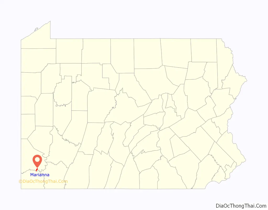
| State: | Pennsylvania |
| County: | Washington County |
| Total Area: | 1.96 sq mi (5.07 km²) |
| Land Area: | 1.96 sq mi (5.07 km²) |
| Water Area: | 0.00 sq mi (0.00 km²) |
| Total Population: | 399 |
| Population Density: | 203.99/sq mi (78.74/km²) |
| Area code: | 724 |
| FIPS code: | 4247400 |
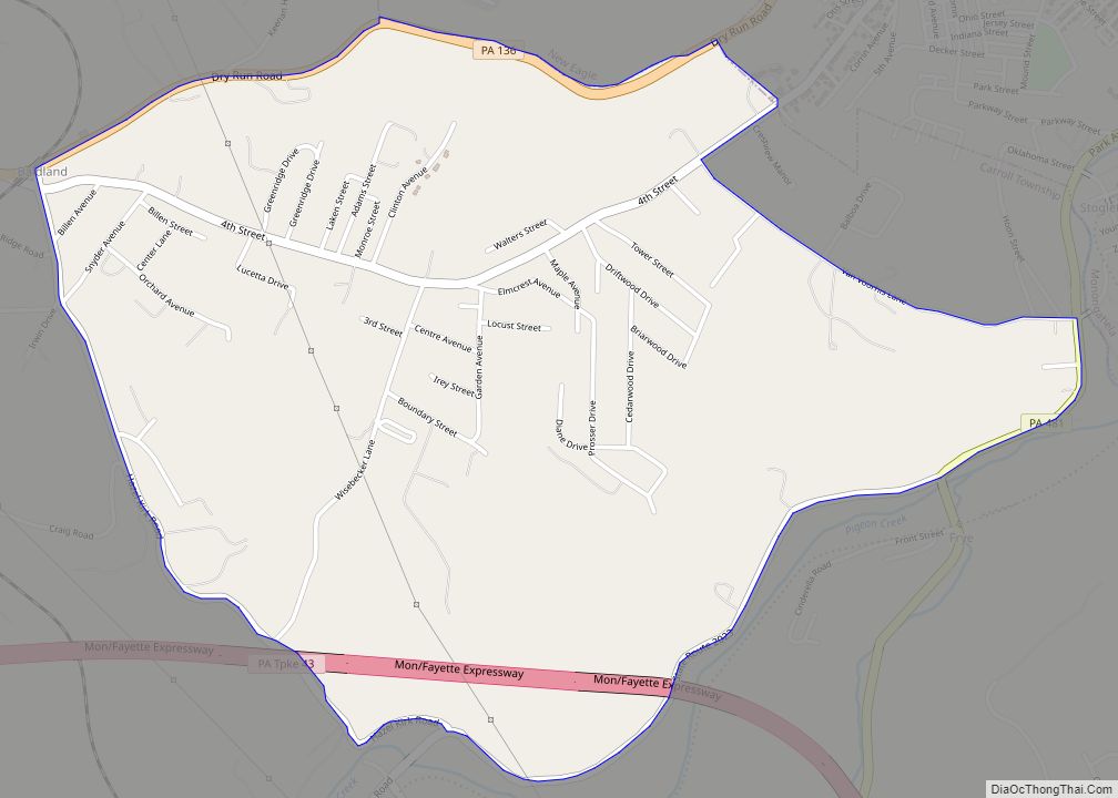
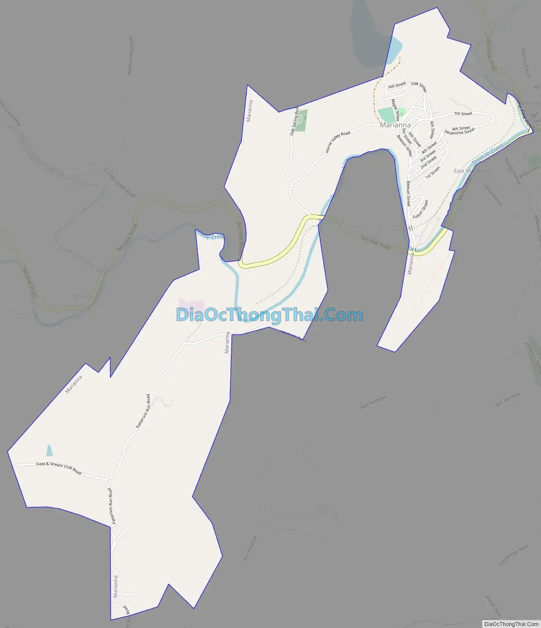
Online Interactive Map
Click on ![]() to view map in "full screen" mode.
to view map in "full screen" mode.
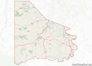
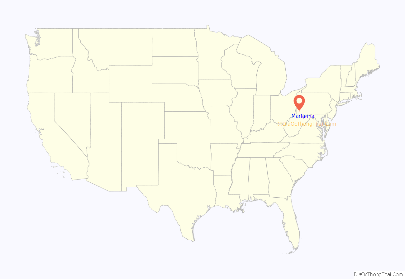
Marianna location map. Where is Marianna borough?
History
Marianna was built as a mining town for the Pittsburgh Buffalo Company in 1907 and was incorporated in 1910. At the time of its construction, the Marianna Mine was among the most modern and well equipped in the world. The town’s brick homes were designed to offer indoor bathrooms, fenced yards and other amenities making living conditions very attractive for the time.
At 10:55 a.m. on the morning of Saturday, November 28, 1908, an explosion occurred in the mine which killed 154 men and left only one survivor. Although the mine was quickly refurbished by the Pittsburgh Buffalo Company, the colliery’s fortunes flagged. By 1914, the mine was sold to the Union Coal and Coke Company and later to Bethlehem Steel which continued to extract coal until 1988, when the main conveyor caught fire. The fire was extinguished, but the mine closed anyway.
The Marianna Historic District was listed on the National Register of Historic Places in 1984.
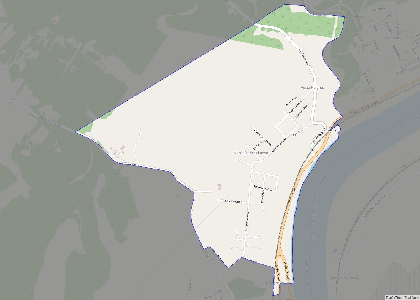
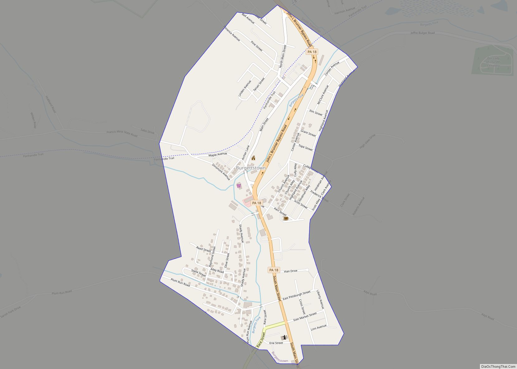
Marianna Road Map
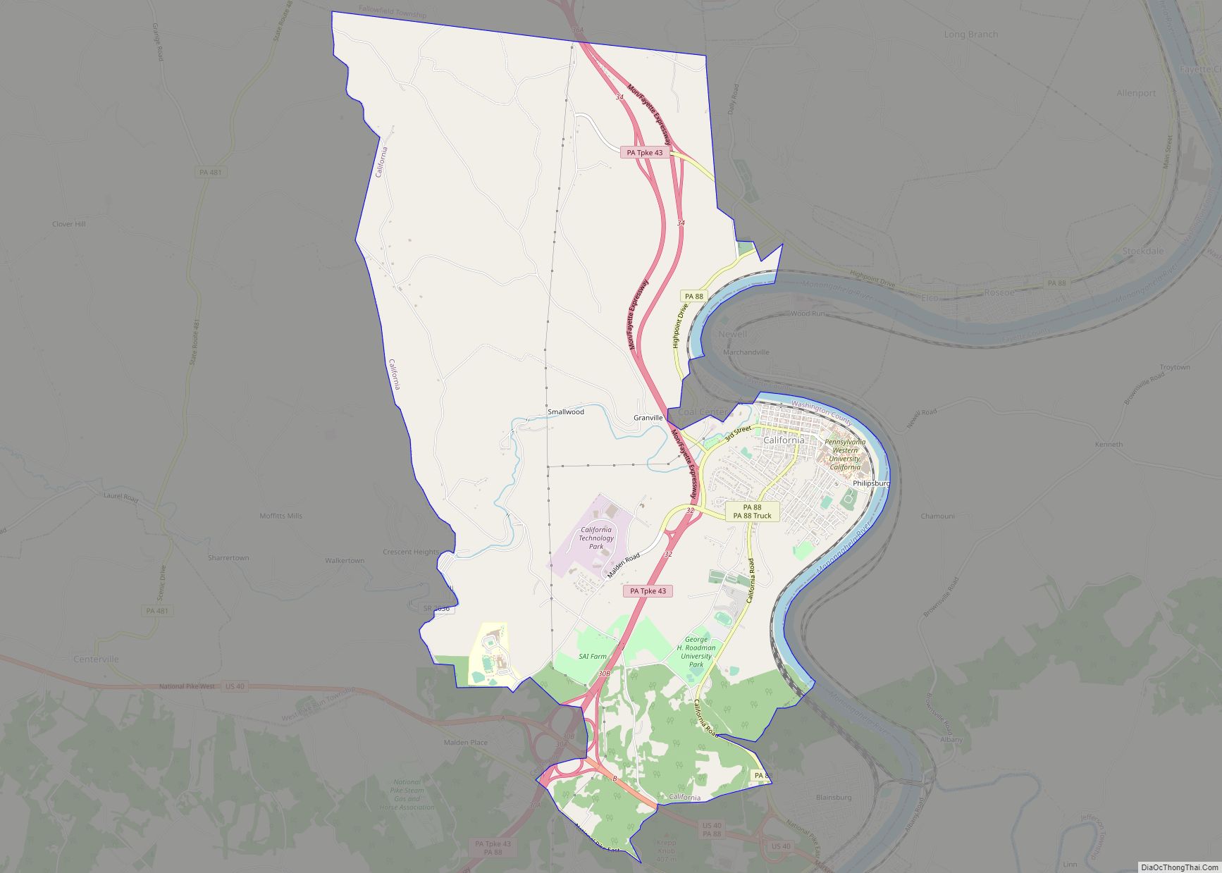
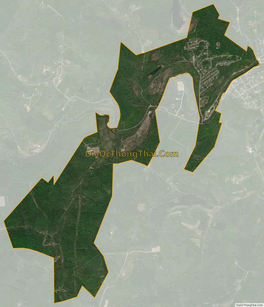
Marianna city Satellite Map
Geography
Marianna is located at 40°0′56″N 80°6′38″W / 40.01556°N 80.11056°W / 40.01556; -80.11056 (40.015626, -80.110483).
According to the United States Census Bureau, the borough has a total area of 2.0 square miles (5.2 km), all land.
See also
Map of Pennsylvania State and its subdivision:- Adams
- Allegheny
- Armstrong
- Beaver
- Bedford
- Berks
- Blair
- Bradford
- Bucks
- Butler
- Cambria
- Cameron
- Carbon
- Centre
- Chester
- Clarion
- Clearfield
- Clinton
- Columbia
- Crawford
- Cumberland
- Dauphin
- Delaware
- Elk
- Erie
- Fayette
- Forest
- Franklin
- Fulton
- Greene
- Huntingdon
- Indiana
- Jefferson
- Juniata
- Lackawanna
- Lancaster
- Lawrence
- Lebanon
- Lehigh
- Luzerne
- Lycoming
- Mc Kean
- Mercer
- Mifflin
- Monroe
- Montgomery
- Montour
- Northampton
- Northumberland
- Perry
- Philadelphia
- Pike
- Potter
- Schuylkill
- Snyder
- Somerset
- Sullivan
- Susquehanna
- Tioga
- Union
- Venango
- Warren
- Washington
- Wayne
- Westmoreland
- Wyoming
- York
- Alabama
- Alaska
- Arizona
- Arkansas
- California
- Colorado
- Connecticut
- Delaware
- District of Columbia
- Florida
- Georgia
- Hawaii
- Idaho
- Illinois
- Indiana
- Iowa
- Kansas
- Kentucky
- Louisiana
- Maine
- Maryland
- Massachusetts
- Michigan
- Minnesota
- Mississippi
- Missouri
- Montana
- Nebraska
- Nevada
- New Hampshire
- New Jersey
- New Mexico
- New York
- North Carolina
- North Dakota
- Ohio
- Oklahoma
- Oregon
- Pennsylvania
- Rhode Island
- South Carolina
- South Dakota
- Tennessee
- Texas
- Utah
- Vermont
- Virginia
- Washington
- West Virginia
- Wisconsin
- Wyoming