Monroeville is a home rule municipality in Allegheny County, Pennsylvania, United States. It is a suburb with mixed residential and commercial developments located about 10 miles east of Pittsburgh. As of the 2020 census, Monroeville was home to 28,640 people.
| Name: | Monroeville municipality |
|---|---|
| LSAD Code: | 37 |
| LSAD Description: | municipality (suffix) |
| State: | Pennsylvania |
| County: | Allegheny County |
| Incorporated: | January 25, 1951 |
| Elevation: | 735−1,320 ft (224−402 m) |
| Total Area: | 19.72 sq mi (51.08 km²) |
| Land Area: | 19.72 sq mi (51.06 km²) |
| Water Area: | 0.01 sq mi (0.02 km²) |
| Total Population: | 28,640 |
| Population Density: | 1,452.63/sq mi (560.87/km²) |
| ZIP code: | 15146 |
| Area code: | 412 |
| FIPS code: | 4250528 |
| Website: | www.monroeville.pa.us |
Online Interactive Map
Click on ![]() to view map in "full screen" mode.
to view map in "full screen" mode.
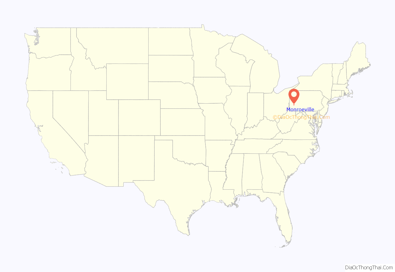
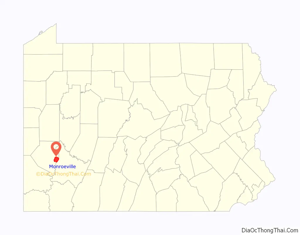
Monroeville location map. Where is Monroeville municipality?
History
Named for Joel Monroe, the area’s first postmaster, Monroeville was settled in the mid to late 18th century. The area was incorporated as Patton Township in 1849 before becoming the borough of Monroeville on January 25, 1951. Monroeville became a Home Rule Charter Municipality on May 21, 1974.
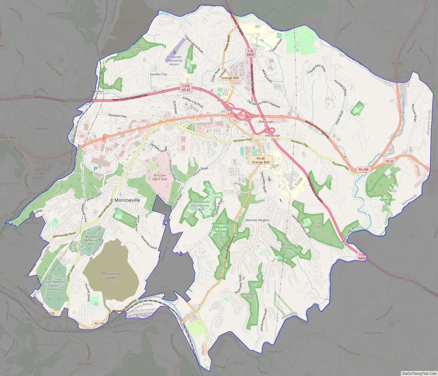
Monroeville Road Map
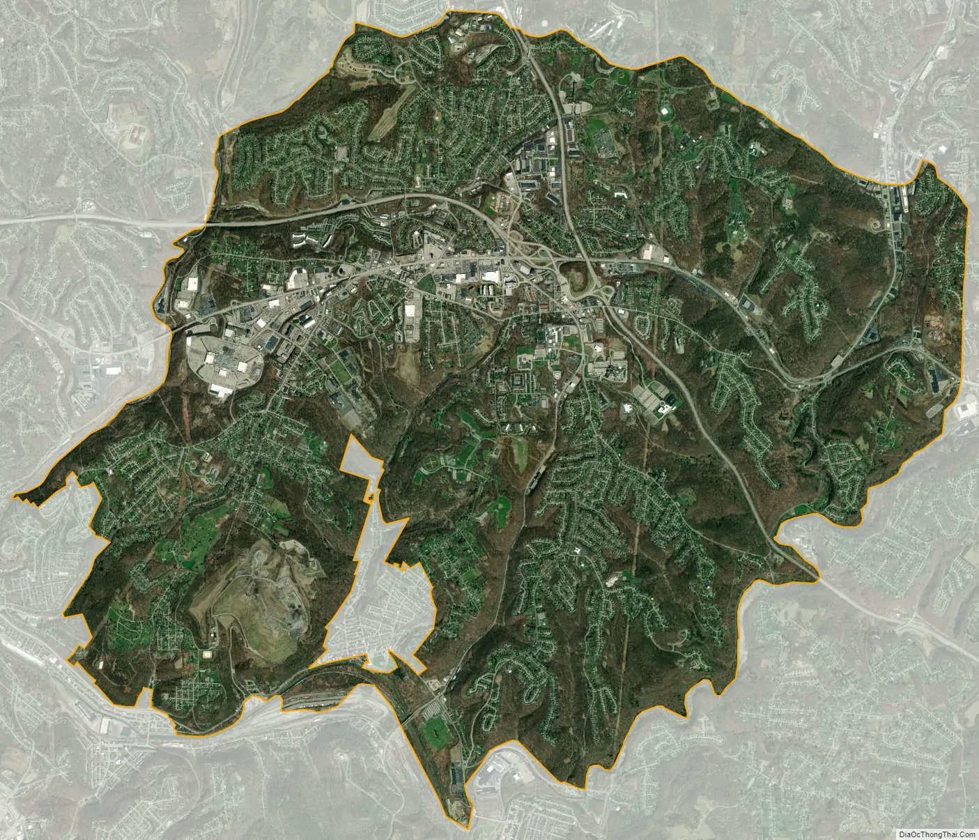
Monroeville city Satellite Map
Geography
A suburb of Pittsburgh, Monroeville is located at 40°25′52″N 79°45′55″W / 40.43111°N 79.76528°W / 40.43111; -79.76528. According to the U.S. Census Bureau, the municipality has a total area of 19.8 square miles (51 km), of which 0.05% is water.
Surrounding and inner communities
Monroeville has nine borders, including Plum to the north, Murrysville in Westmoreland County to the east, Penn Township in Westmoreland County to the southeast, Trafford in Westmoreland County to the south, North Versailles, Wilmerding and Turtle Creek to the southwest, Wilkins Township to the west, and Penn Hills to the northwest. Also, the borough of Pitcairn is entirely situated inside Monroeville in the south-southwest area.
See also
Map of Pennsylvania State and its subdivision:- Adams
- Allegheny
- Armstrong
- Beaver
- Bedford
- Berks
- Blair
- Bradford
- Bucks
- Butler
- Cambria
- Cameron
- Carbon
- Centre
- Chester
- Clarion
- Clearfield
- Clinton
- Columbia
- Crawford
- Cumberland
- Dauphin
- Delaware
- Elk
- Erie
- Fayette
- Forest
- Franklin
- Fulton
- Greene
- Huntingdon
- Indiana
- Jefferson
- Juniata
- Lackawanna
- Lancaster
- Lawrence
- Lebanon
- Lehigh
- Luzerne
- Lycoming
- Mc Kean
- Mercer
- Mifflin
- Monroe
- Montgomery
- Montour
- Northampton
- Northumberland
- Perry
- Philadelphia
- Pike
- Potter
- Schuylkill
- Snyder
- Somerset
- Sullivan
- Susquehanna
- Tioga
- Union
- Venango
- Warren
- Washington
- Wayne
- Westmoreland
- Wyoming
- York
- Alabama
- Alaska
- Arizona
- Arkansas
- California
- Colorado
- Connecticut
- Delaware
- District of Columbia
- Florida
- Georgia
- Hawaii
- Idaho
- Illinois
- Indiana
- Iowa
- Kansas
- Kentucky
- Louisiana
- Maine
- Maryland
- Massachusetts
- Michigan
- Minnesota
- Mississippi
- Missouri
- Montana
- Nebraska
- Nevada
- New Hampshire
- New Jersey
- New Mexico
- New York
- North Carolina
- North Dakota
- Ohio
- Oklahoma
- Oregon
- Pennsylvania
- Rhode Island
- South Carolina
- South Dakota
- Tennessee
- Texas
- Utah
- Vermont
- Virginia
- Washington
- West Virginia
- Wisconsin
- Wyoming


