Mount Oliver is a borough in Allegheny County, Pennsylvania, United States. It is a largely residential area situated atop a crest about 3 miles (5 km) west of the Monongahela River. The borough is surrounded entirely by the city of Pittsburgh, having resisted annexations by the city, as it prefers to manage its own local needs and finances.
It is named for Oliver Ormsby, son of John Ormsby, who held the original land grant for the area from George III. Mount Oliver has experienced some tough times of late which are associated with the slippage of the steel-making capacity of the Pittsburgh region. The population was 3,394 at the 2020 census.
| Name: | Mount Oliver borough |
|---|---|
| LSAD Code: | 21 |
| LSAD Description: | borough (suffix) |
| State: | Pennsylvania |
| County: | Allegheny County |
| Total Area: | 0.34 sq mi (0.88 km²) |
| Land Area: | 0.34 sq mi (0.88 km²) |
| Water Area: | 0.00 sq mi (0.00 km²) |
| Total Population: | 3,394 |
| Population Density: | 10,011.80/sq mi (3,860.12/km²) |
| ZIP code: | 15210 |
| Area code: | Area code 412 |
| FIPS code: | 4251744 |
| Website: | www.mountoliver.us |
Online Interactive Map
Click on ![]() to view map in "full screen" mode.
to view map in "full screen" mode.
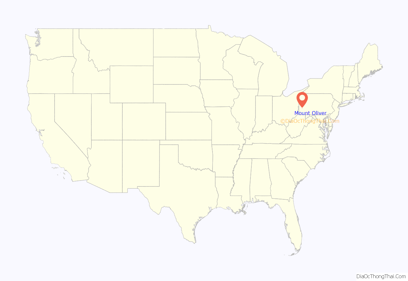
Mount Oliver location map. Where is Mount Oliver borough?
Mount Oliver Road Map
Mount Oliver city Satellite Map
Geography
Mount Oliver is located at 40°24′41″N 79°59′12″W / 40.41139°N 79.98667°W / 40.41139; -79.98667 (40.411319, -79.986571). According to the U.S. Census Bureau, the borough has a total area of 0.3 square miles (0.9 km), all land.
See also
Map of Pennsylvania State and its subdivision:- Adams
- Allegheny
- Armstrong
- Beaver
- Bedford
- Berks
- Blair
- Bradford
- Bucks
- Butler
- Cambria
- Cameron
- Carbon
- Centre
- Chester
- Clarion
- Clearfield
- Clinton
- Columbia
- Crawford
- Cumberland
- Dauphin
- Delaware
- Elk
- Erie
- Fayette
- Forest
- Franklin
- Fulton
- Greene
- Huntingdon
- Indiana
- Jefferson
- Juniata
- Lackawanna
- Lancaster
- Lawrence
- Lebanon
- Lehigh
- Luzerne
- Lycoming
- Mc Kean
- Mercer
- Mifflin
- Monroe
- Montgomery
- Montour
- Northampton
- Northumberland
- Perry
- Philadelphia
- Pike
- Potter
- Schuylkill
- Snyder
- Somerset
- Sullivan
- Susquehanna
- Tioga
- Union
- Venango
- Warren
- Washington
- Wayne
- Westmoreland
- Wyoming
- York
- Alabama
- Alaska
- Arizona
- Arkansas
- California
- Colorado
- Connecticut
- Delaware
- District of Columbia
- Florida
- Georgia
- Hawaii
- Idaho
- Illinois
- Indiana
- Iowa
- Kansas
- Kentucky
- Louisiana
- Maine
- Maryland
- Massachusetts
- Michigan
- Minnesota
- Mississippi
- Missouri
- Montana
- Nebraska
- Nevada
- New Hampshire
- New Jersey
- New Mexico
- New York
- North Carolina
- North Dakota
- Ohio
- Oklahoma
- Oregon
- Pennsylvania
- Rhode Island
- South Carolina
- South Dakota
- Tennessee
- Texas
- Utah
- Vermont
- Virginia
- Washington
- West Virginia
- Wisconsin
- Wyoming
