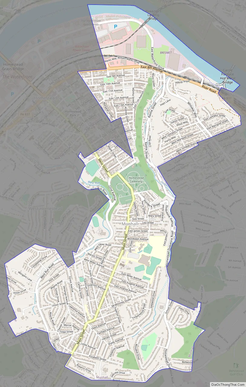
Munhall is a borough in Allegheny County, Pennsylvania, United States, on the west bank of the Monongahela River, 8 miles (13 km) south of the confluence of the Monongahela and the Allegheny rivers where the Ohio River begins. It abuts the borough of Homestead.
A large part of the Homestead Works of the Carnegie Steel Company existed in Munhall. Steel products were the only items made in Munhall in 1910 when 5,185 people lived here. In 1940, 13,900 people lived in Munhall. The population was 10,774 at the 2020 census. Munhall, along with the boroughs of Homestead and West Homestead, is served by the Steel Valley School District.
| Name: | Munhall borough |
|---|---|
| LSAD Code: | 21 |
| LSAD Description: | borough (suffix) |
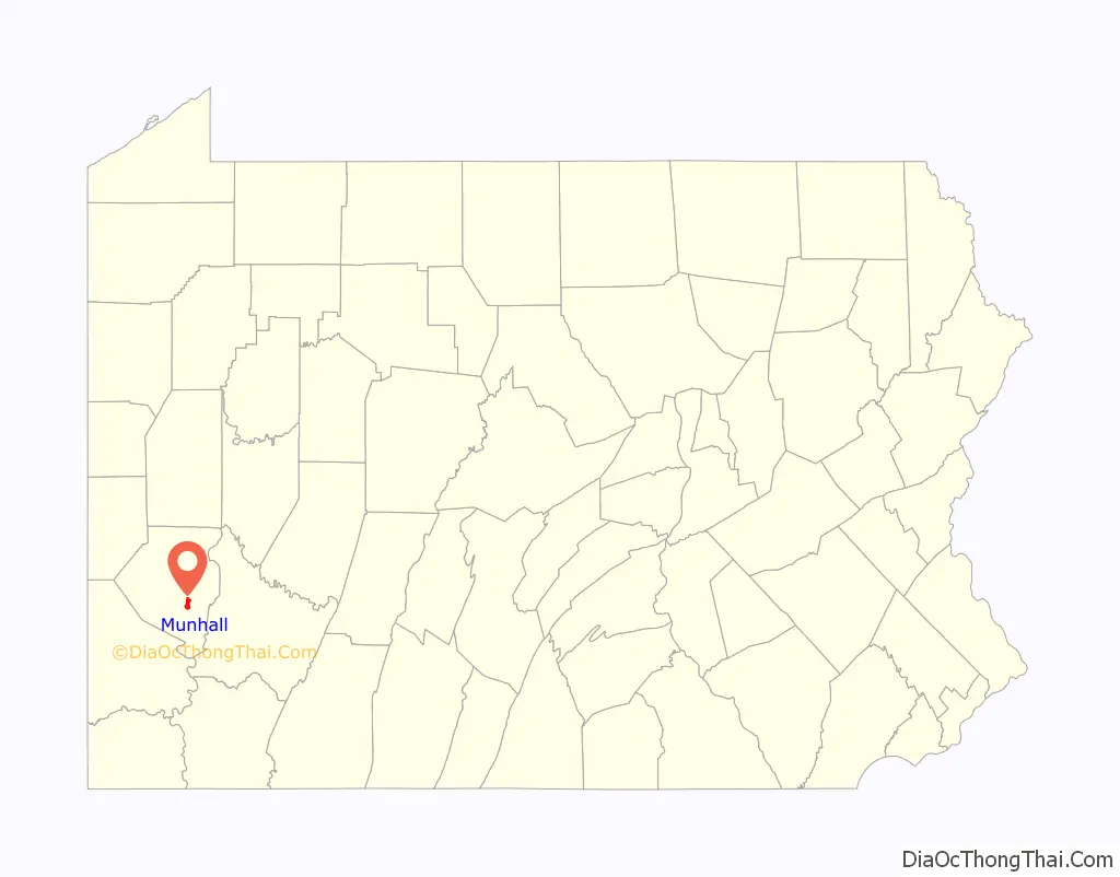
| State: | Pennsylvania |
| County: | Allegheny County |
| Total Area: | 2.36 sq mi (6.12 km²) |
| Land Area: | 2.29 sq mi (5.94 km²) |
| Water Area: | 0.07 sq mi (0.18 km²) |
| Total Population: | 10,774 |
| Population Density: | 4,698.65/sq mi (1,814.05/km²) |
| ZIP code: | 15120 |
| Area code: | 412 |
| FIPS code: | 4252320 |
| Website: | www.munhallpa.us |
Online Interactive Map
Click on ![]() to view map in "full screen" mode.
to view map in "full screen" mode.
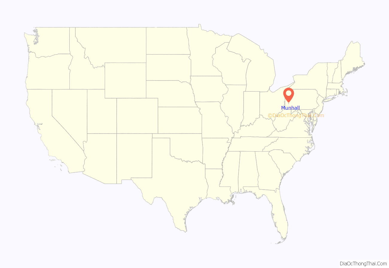
Munhall location map. Where is Munhall borough?
History
A post office called Munhall was established in 1887. The borough was formed on June 24, 1901, out of a part of Mifflin Township, and named for John Munhall, the original owner of the town site.
Munhall Road Map
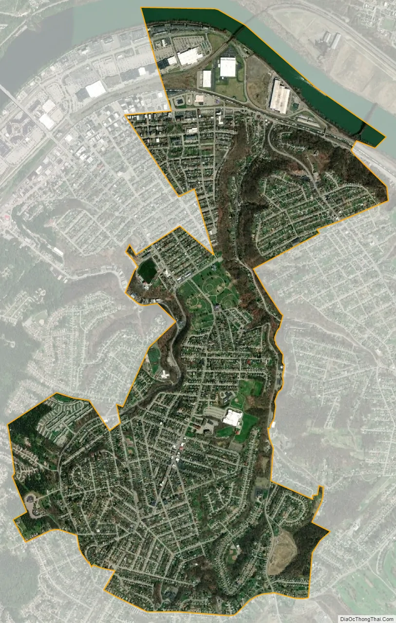
Munhall city Satellite Map
Geography
Munhall is located at 40°23′28″N 79°54′4″W / 40.39111°N 79.90111°W / 40.39111; -79.90111 (40.391202, -79.901221).
According to the United States Census Bureau, the borough has a total area of 2.4 square miles (6.2 km), of which 2.3 square miles (6.0 km) is land and 0.1 square miles (0.26 km), or 4.55%, is water.
See also
Map of Pennsylvania State and its subdivision:- Adams
- Allegheny
- Armstrong
- Beaver
- Bedford
- Berks
- Blair
- Bradford
- Bucks
- Butler
- Cambria
- Cameron
- Carbon
- Centre
- Chester
- Clarion
- Clearfield
- Clinton
- Columbia
- Crawford
- Cumberland
- Dauphin
- Delaware
- Elk
- Erie
- Fayette
- Forest
- Franklin
- Fulton
- Greene
- Huntingdon
- Indiana
- Jefferson
- Juniata
- Lackawanna
- Lancaster
- Lawrence
- Lebanon
- Lehigh
- Luzerne
- Lycoming
- Mc Kean
- Mercer
- Mifflin
- Monroe
- Montgomery
- Montour
- Northampton
- Northumberland
- Perry
- Philadelphia
- Pike
- Potter
- Schuylkill
- Snyder
- Somerset
- Sullivan
- Susquehanna
- Tioga
- Union
- Venango
- Warren
- Washington
- Wayne
- Westmoreland
- Wyoming
- York
- Alabama
- Alaska
- Arizona
- Arkansas
- California
- Colorado
- Connecticut
- Delaware
- District of Columbia
- Florida
- Georgia
- Hawaii
- Idaho
- Illinois
- Indiana
- Iowa
- Kansas
- Kentucky
- Louisiana
- Maine
- Maryland
- Massachusetts
- Michigan
- Minnesota
- Mississippi
- Missouri
- Montana
- Nebraska
- Nevada
- New Hampshire
- New Jersey
- New Mexico
- New York
- North Carolina
- North Dakota
- Ohio
- Oklahoma
- Oregon
- Pennsylvania
- Rhode Island
- South Carolina
- South Dakota
- Tennessee
- Texas
- Utah
- Vermont
- Virginia
- Washington
- West Virginia
- Wisconsin
- Wyoming


