Murrysville is a home rule municipality in Westmoreland County, Pennsylvania, United States. The population was 21,006 at the 2020 census. It is part of the Pittsburgh metropolitan area.
| Name: | Murrysville municipality |
|---|---|
| LSAD Code: | 37 |
| LSAD Description: | municipality (suffix) |
| State: | Pennsylvania |
| County: | Westmoreland County |
| Elevation: | 1,110 ft (338.3 m) |
| Total Area: | 36.84 sq mi (95.41 km²) |
| Land Area: | 36.83 sq mi (95.39 km²) |
| Water Area: | 0.01 sq mi (0.02 km²) |
| Total Population: | 21,006 |
| Population Density: | 570.35/sq mi (220.21/km²) |
| ZIP code: | 15668 |
| Area code: | 724 |
| FIPS code: | 4252432 |
| Website: | www.murrysville.com |
Online Interactive Map
Click on ![]() to view map in "full screen" mode.
to view map in "full screen" mode.
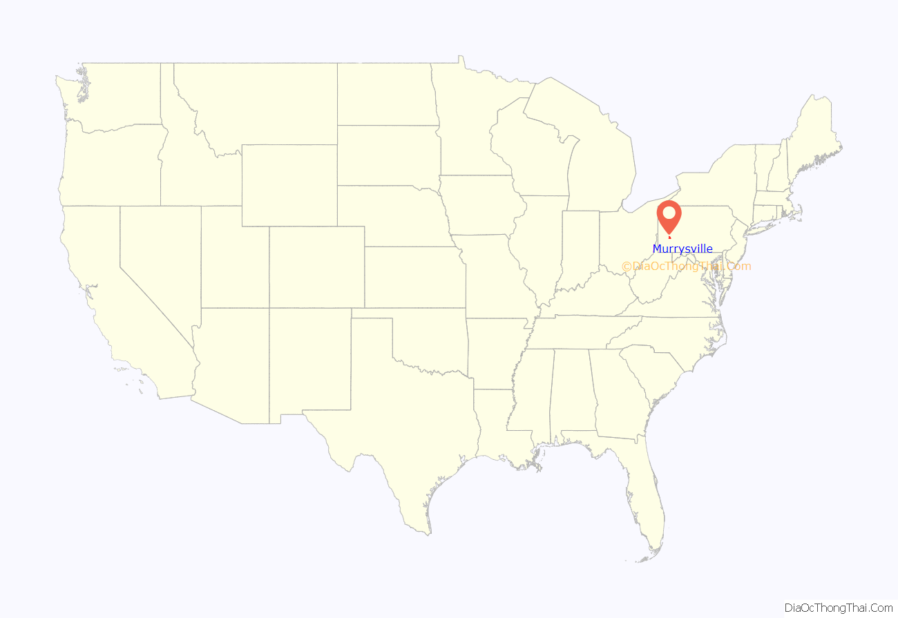
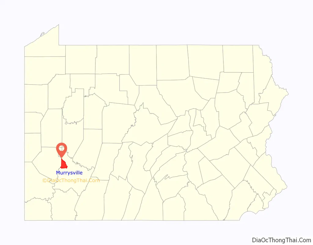
Murrysville location map. Where is Murrysville municipality?
History
The Haymaker Gas Well in Murrysville was the nation’s first commercial natural gas well. For some time, it remained the largest commercial gas well in the world. Murrysville was described in the first half of the 20th century as being “the center of a district dotted with gas wells, the first of which was bored in 1878; wild speculation in leases precipitated the open conflict known as the ‘Haymaker Riots,’ named for the speculator killed in one of them.”
Since 1933, Murrysville has had a “tree sign” spelling out the word “Murrysville”. The trees were landscaped to grow and form the letters by local Boy Scouts. The sign is situated on a large hill as one enters the Municipality from the Murrysville–Monroeville border, near U.S. Route 22. In 1947, the sign was featured in “Ripley’s Believe It Or Not” as the world’s largest arboreal sign. (It is no longer the world’s largest). The “Y” in the Murrysville sign points to the Haymaker Gas Well.
In 1977, Murrysville was designated the “Gateway to Westmoreland County” by Mayor Walt Dollman in conjunction with the Chamber of Commerce. In 2012, community leaders upgraded sign and landscaping elaborately at the main entrance at the Allegheny / Westmoreland border featuring this designation. As is shown at the introduction of this page, the Gateway designation is featured on the official Seal of the Municipality.
Murrysville became a home rule municipality in August 1976, when its electorate voted for a Charter designating it a Municipality.
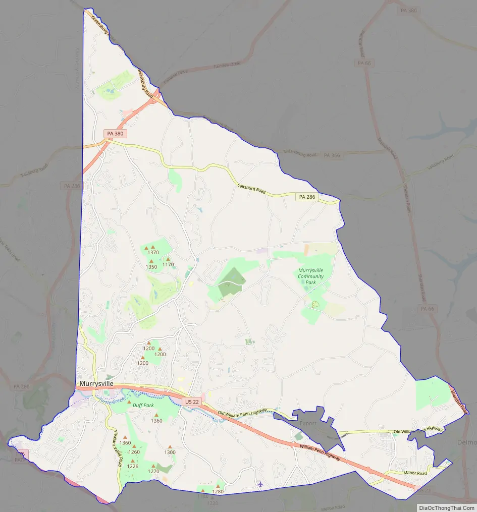
Murrysville Road Map
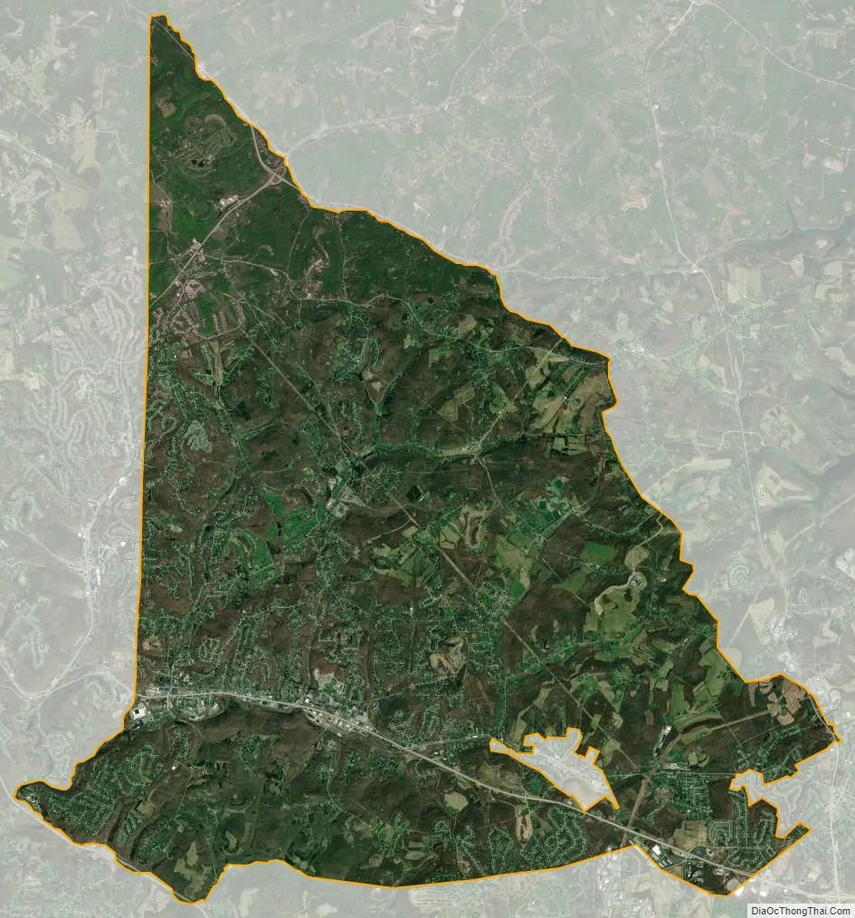
Murrysville city Satellite Map
Geography
Murrysville is located at 40°26′5″N 79°39′24″W / 40.43472°N 79.65667°W / 40.43472; -79.65667 (40.434828, -79.656724). It is roughly 20 miles east of Pittsburgh on U.S. Route 22, just east of the county line that separates Westmoreland and Allegheny counties. Murrysville is a control city on the sign for eastbound US 22 at the eastern end of I-376 in Monroeville.
According to the United States Census Bureau, the municipality had a total area of 36.9 square miles (96 km), of which, 36.9 square miles (96 km) of it is land and 0.03% is water.
Among the neighborhoods within Murrysville are Murrysville Heights, Heather Highlands, Franklin Estates, Settlers Ridge (The Ridge), Dunningtown, Newlonsburg, Ringertown, Sardis, and White Valley. Murrysville surrounds, but does not include, the Borough of Export, which is a separate municipal entity.
Surrounding municipalities
Murrysville has eight borders, including Upper Burrell Township to the north, Washington Township to the north and east, Salem Township to the south and southeast, Delmont to the southeast, Penn Township to the south, and the Allegheny County municipalities of Monroeville to the southwest and Plum to the west. The borough of Export is situated inside Murrysville in the south-southeast section.
See also
Map of Pennsylvania State and its subdivision:- Adams
- Allegheny
- Armstrong
- Beaver
- Bedford
- Berks
- Blair
- Bradford
- Bucks
- Butler
- Cambria
- Cameron
- Carbon
- Centre
- Chester
- Clarion
- Clearfield
- Clinton
- Columbia
- Crawford
- Cumberland
- Dauphin
- Delaware
- Elk
- Erie
- Fayette
- Forest
- Franklin
- Fulton
- Greene
- Huntingdon
- Indiana
- Jefferson
- Juniata
- Lackawanna
- Lancaster
- Lawrence
- Lebanon
- Lehigh
- Luzerne
- Lycoming
- Mc Kean
- Mercer
- Mifflin
- Monroe
- Montgomery
- Montour
- Northampton
- Northumberland
- Perry
- Philadelphia
- Pike
- Potter
- Schuylkill
- Snyder
- Somerset
- Sullivan
- Susquehanna
- Tioga
- Union
- Venango
- Warren
- Washington
- Wayne
- Westmoreland
- Wyoming
- York
- Alabama
- Alaska
- Arizona
- Arkansas
- California
- Colorado
- Connecticut
- Delaware
- District of Columbia
- Florida
- Georgia
- Hawaii
- Idaho
- Illinois
- Indiana
- Iowa
- Kansas
- Kentucky
- Louisiana
- Maine
- Maryland
- Massachusetts
- Michigan
- Minnesota
- Mississippi
- Missouri
- Montana
- Nebraska
- Nevada
- New Hampshire
- New Jersey
- New Mexico
- New York
- North Carolina
- North Dakota
- Ohio
- Oklahoma
- Oregon
- Pennsylvania
- Rhode Island
- South Carolina
- South Dakota
- Tennessee
- Texas
- Utah
- Vermont
- Virginia
- Washington
- West Virginia
- Wisconsin
- Wyoming


