New Baltimore is a borough in Somerset County, Pennsylvania, United States. The population was 137 at the 2020 census. It is part of the Johnstown, Pennsylvania, Metropolitan Statistical Area.
| Name: | New Baltimore borough |
|---|---|
| LSAD Code: | 21 |
| LSAD Description: | borough (suffix) |
| State: | Pennsylvania |
| County: | Somerset County |
| Incorporated: | 1874 |
| Total Area: | 0.35 sq mi (0.90 km²) |
| Land Area: | 0.35 sq mi (0.90 km²) |
| Water Area: | 0.00 sq mi (0.00 km²) |
| Total Population: | 142 |
| Population Density: | 409.22/sq mi (158.16/km²) |
| ZIP code: | 15553 |
| Area code: | 814 |
| FIPS code: | 4253168 |
Online Interactive Map
Click on ![]() to view map in "full screen" mode.
to view map in "full screen" mode.
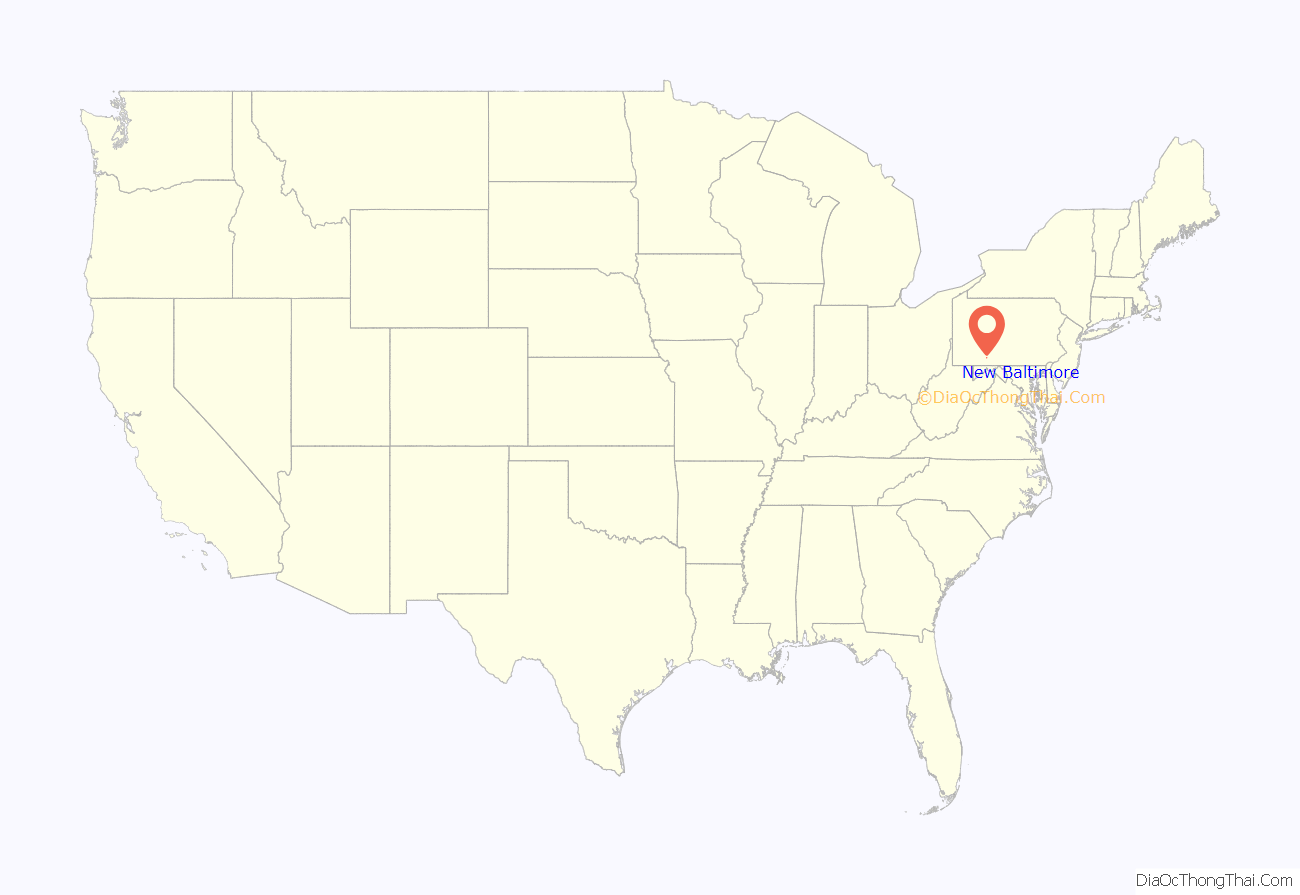
New Baltimore location map. Where is New Baltimore borough?
History
The first settler was Michael Riddlemoser, who built a house here in 1820, and laid out the street plan in 1829. The community was initially known as Mosersburg, and was later renamed New Baltimore, after Riddlemoser’s hometown. The borough was incorporated in 1874.
In the 1880s, a major railroad yard and maintenance facility were planned for New Baltimore to serve the South Pennsylvania Railroad. In the end, construction on the railroad stopped and the tracks were never laid, and New Baltimore lost its chance to become a significant railroading center.
The New Baltimore Bridge, built in 1879, was added to the National Register of Historic Places in 1980.
New Baltimore Road Map
New Baltimore city Satellite Map
Geography
New Baltimore is located at 39°59′2″N 78°46′20″W / 39.98389°N 78.77222°W / 39.98389; -78.77222 (39.983808, −78.772154). The borough is located on the eastern edge of Allegheny Township, along its border with Bedford County. According to the United States Census Bureau, New Baltimore has a total area of 0.3 square miles (0.78 km), all land. Farmlands predominate in the village and the mountain range, with the majority of the area forested to the west.
See also
Map of Pennsylvania State and its subdivision:- Adams
- Allegheny
- Armstrong
- Beaver
- Bedford
- Berks
- Blair
- Bradford
- Bucks
- Butler
- Cambria
- Cameron
- Carbon
- Centre
- Chester
- Clarion
- Clearfield
- Clinton
- Columbia
- Crawford
- Cumberland
- Dauphin
- Delaware
- Elk
- Erie
- Fayette
- Forest
- Franklin
- Fulton
- Greene
- Huntingdon
- Indiana
- Jefferson
- Juniata
- Lackawanna
- Lancaster
- Lawrence
- Lebanon
- Lehigh
- Luzerne
- Lycoming
- Mc Kean
- Mercer
- Mifflin
- Monroe
- Montgomery
- Montour
- Northampton
- Northumberland
- Perry
- Philadelphia
- Pike
- Potter
- Schuylkill
- Snyder
- Somerset
- Sullivan
- Susquehanna
- Tioga
- Union
- Venango
- Warren
- Washington
- Wayne
- Westmoreland
- Wyoming
- York
- Alabama
- Alaska
- Arizona
- Arkansas
- California
- Colorado
- Connecticut
- Delaware
- District of Columbia
- Florida
- Georgia
- Hawaii
- Idaho
- Illinois
- Indiana
- Iowa
- Kansas
- Kentucky
- Louisiana
- Maine
- Maryland
- Massachusetts
- Michigan
- Minnesota
- Mississippi
- Missouri
- Montana
- Nebraska
- Nevada
- New Hampshire
- New Jersey
- New Mexico
- New York
- North Carolina
- North Dakota
- Ohio
- Oklahoma
- Oregon
- Pennsylvania
- Rhode Island
- South Carolina
- South Dakota
- Tennessee
- Texas
- Utah
- Vermont
- Virginia
- Washington
- West Virginia
- Wisconsin
- Wyoming
