New Eagle is a borough in Washington County, Pennsylvania, United States and is part of the Pittsburgh Metro Area. The population was 2,047 at the 2020 census.
| Name: | New Eagle borough |
|---|---|
| LSAD Code: | 21 |
| LSAD Description: | borough (suffix) |
| State: | Pennsylvania |
| County: | Washington County |
| Total Area: | 1.11 sq mi (2.89 km²) |
| Land Area: | 1.02 sq mi (2.63 km²) |
| Water Area: | 0.10 sq mi (0.25 km²) |
| Total Population: | 2,049 |
| Population Density: | 2,016.73/sq mi (778.50/km²) |
| Area code: | 724 |
| FIPS code: | 4253496 |
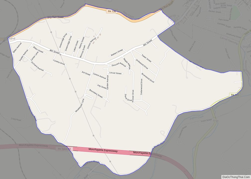
Online Interactive Map
Click on ![]() to view map in "full screen" mode.
to view map in "full screen" mode.
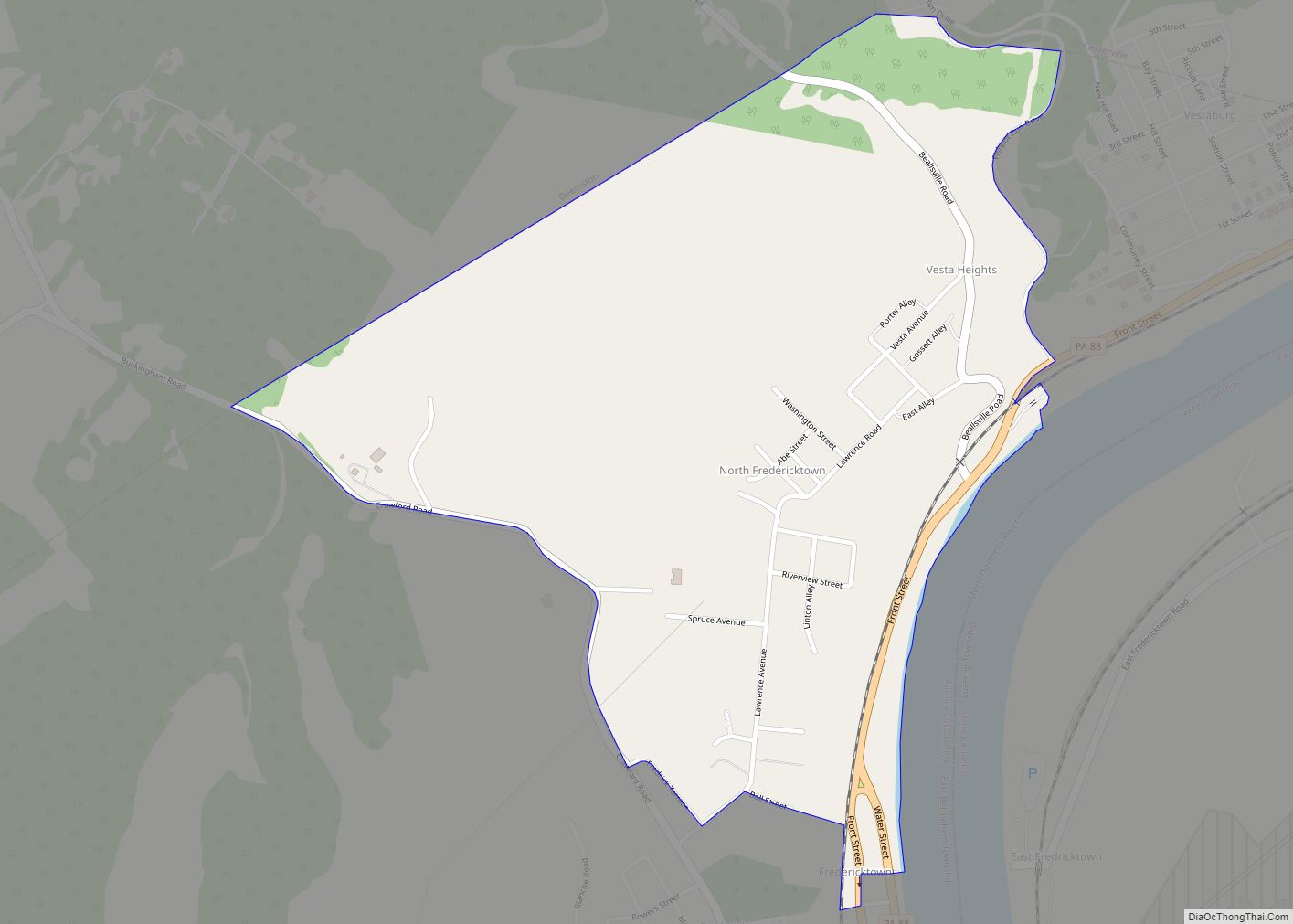
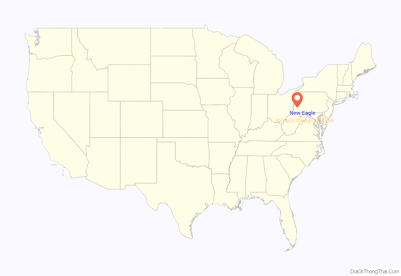
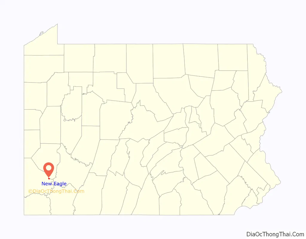
New Eagle location map. Where is New Eagle borough?
History
New Eagle, originally called Riverview, adjoins the City of Monongahela and was laid out in 1901 by J. S. Markell in Carroll Township and incorporated as the Borough of New Eagle on September 9, 1912. New Eagle is the birthplace of Pro Football Hall of Fame quarterback Joe Montana.
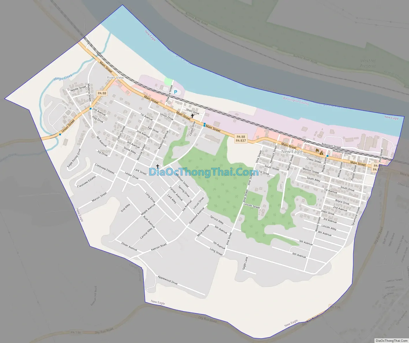
New Eagle Road Map
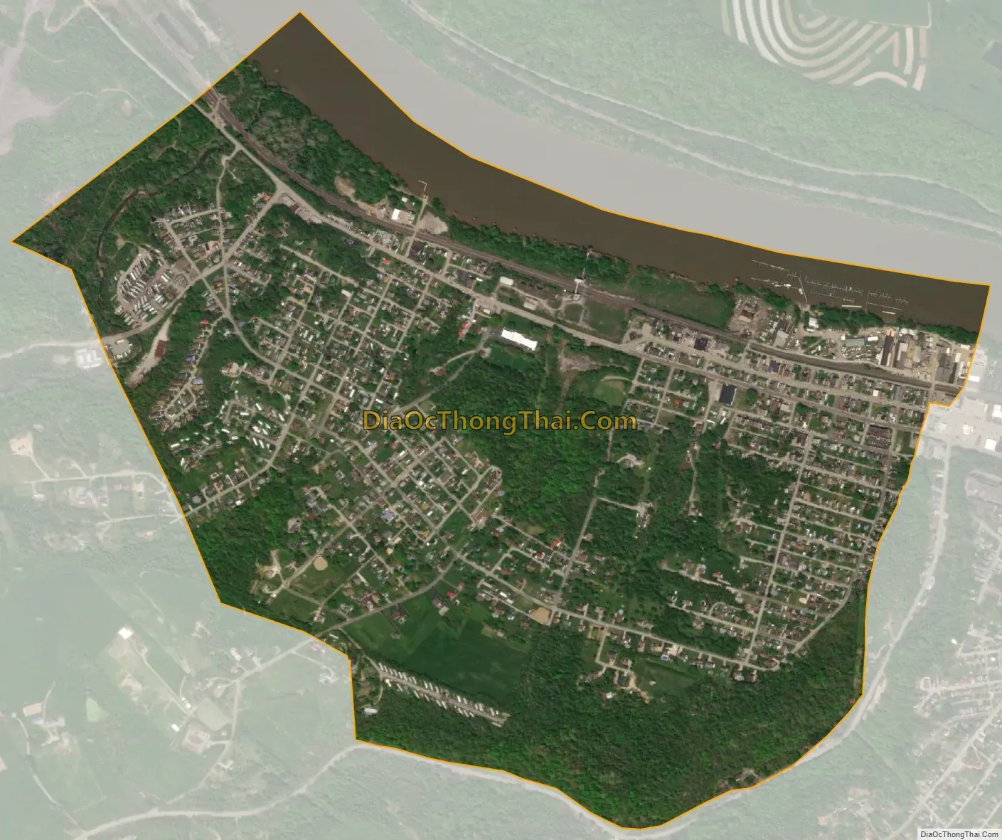
New Eagle city Satellite Map
Geography
New Eagle is located at 40°12′27″N 79°57′11″W / 40.20750°N 79.95306°W / 40.20750; -79.95306 (40.207526, -79.953045).
According to the United States Census Bureau, the borough has a total area of 1.1 square miles (2.8 km), of which 1.0 square mile (2.6 km) is land and 0.1 square miles (0.26 km) (8.04%) is water.
See also
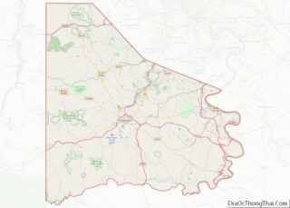
Map of Pennsylvania State and its subdivision:- Adams
- Allegheny
- Armstrong
- Beaver
- Bedford
- Berks
- Blair
- Bradford
- Bucks
- Butler
- Cambria
- Cameron
- Carbon
- Centre
- Chester
- Clarion
- Clearfield
- Clinton
- Columbia
- Crawford
- Cumberland
- Dauphin
- Delaware
- Elk
- Erie
- Fayette
- Forest
- Franklin
- Fulton
- Greene
- Huntingdon
- Indiana
- Jefferson
- Juniata
- Lackawanna
- Lancaster
- Lawrence
- Lebanon
- Lehigh
- Luzerne
- Lycoming
- Mc Kean
- Mercer
- Mifflin
- Monroe
- Montgomery
- Montour
- Northampton
- Northumberland
- Perry
- Philadelphia
- Pike
- Potter
- Schuylkill
- Snyder
- Somerset
- Sullivan
- Susquehanna
- Tioga
- Union
- Venango
- Warren
- Washington
- Wayne
- Westmoreland
- Wyoming
- York
- Alabama
- Alaska
- Arizona
- Arkansas
- California
- Colorado
- Connecticut
- Delaware
- District of Columbia
- Florida
- Georgia
- Hawaii
- Idaho
- Illinois
- Indiana
- Iowa
- Kansas
- Kentucky
- Louisiana
- Maine
- Maryland
- Massachusetts
- Michigan
- Minnesota
- Mississippi
- Missouri
- Montana
- Nebraska
- Nevada
- New Hampshire
- New Jersey
- New Mexico
- New York
- North Carolina
- North Dakota
- Ohio
- Oklahoma
- Oregon
- Pennsylvania
- Rhode Island
- South Carolina
- South Dakota
- Tennessee
- Texas
- Utah
- Vermont
- Virginia
- Washington
- West Virginia
- Wisconsin
- Wyoming