New Freedom is a borough in York County, Pennsylvania, United States. As of the 2020 census, the borough had a population of 4,874. Once an industrial/railroad town, the community has evolved into a predominantly residential community.
| Name: | New Freedom borough |
|---|---|
| LSAD Code: | 21 |
| LSAD Description: | borough (suffix) |
| State: | Pennsylvania |
| County: | York County |
| Incorporated: | 1879 |
| Elevation: | 643 ft (196 m) |
| Total Area: | 2.08 sq mi (5.39 km²) |
| Land Area: | 2.08 sq mi (5.39 km²) |
| Water Area: | 0.00 sq mi (0.00 km²) |
| Total Population: | 4,877 |
| Population Density: | 2,343.58/sq mi (905.06/km²) |
| ZIP code: | 17349 |
| Area code: | 717 |
| FIPS code: | 4253568 |
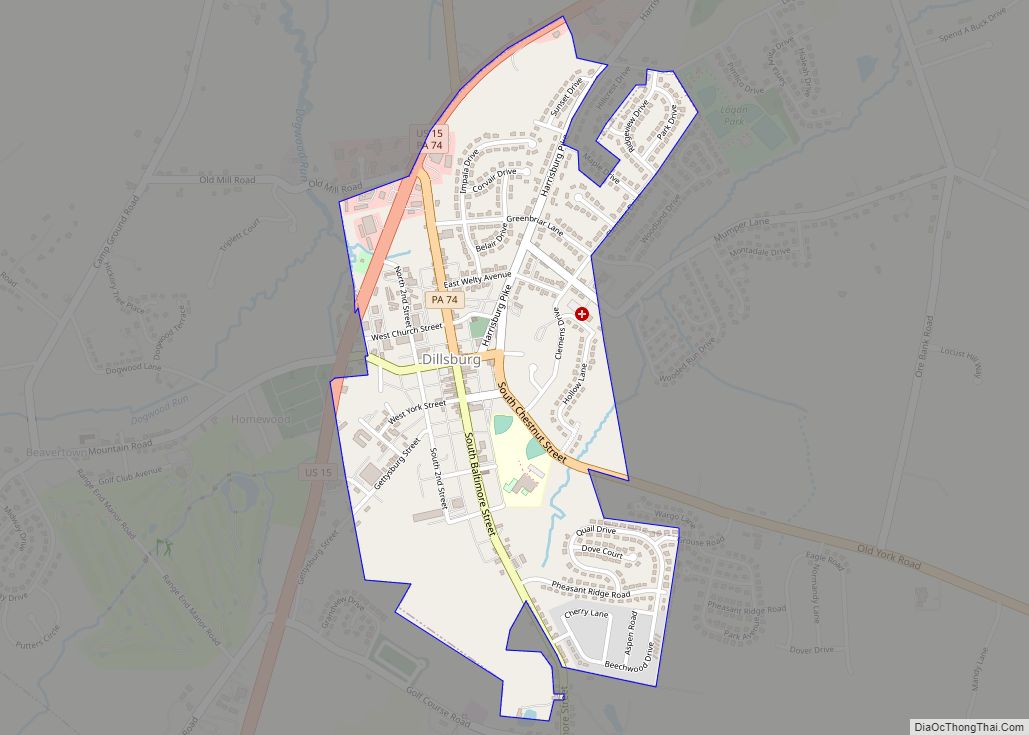
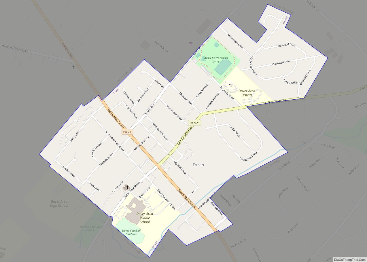
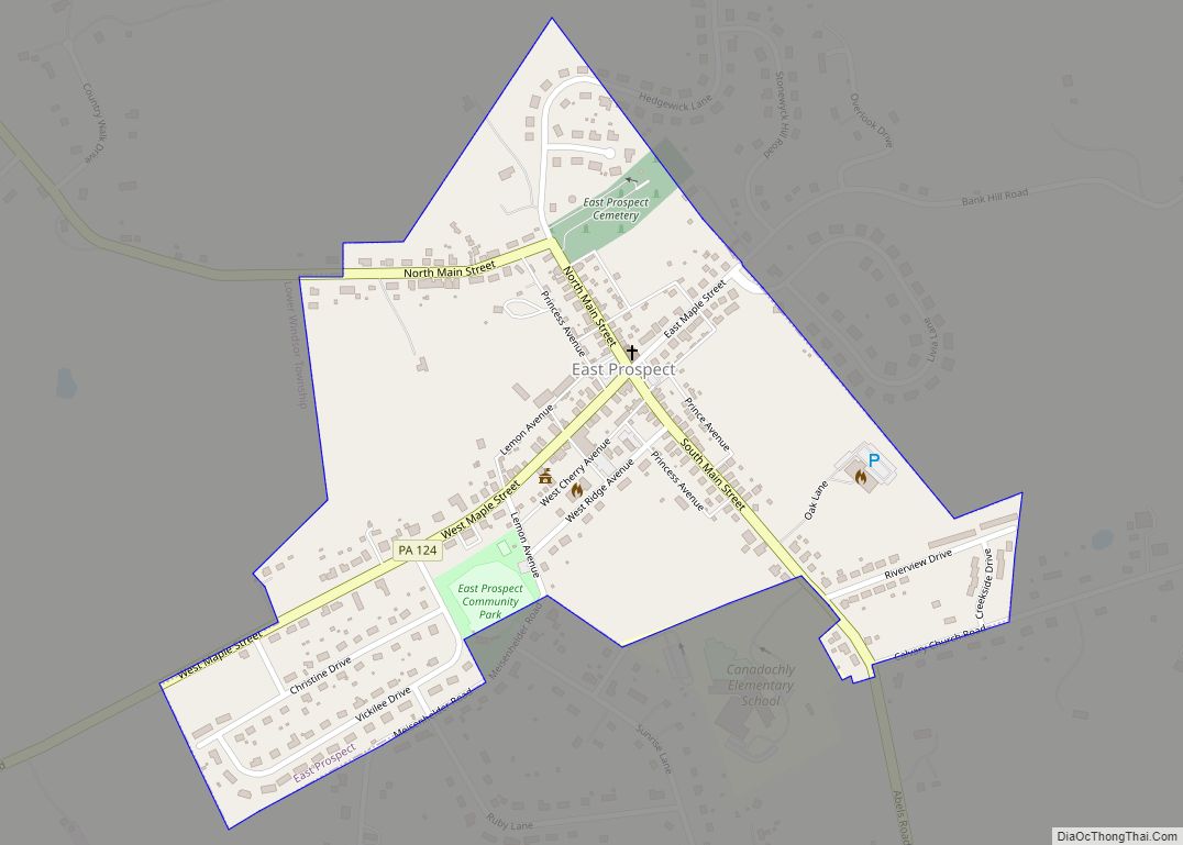
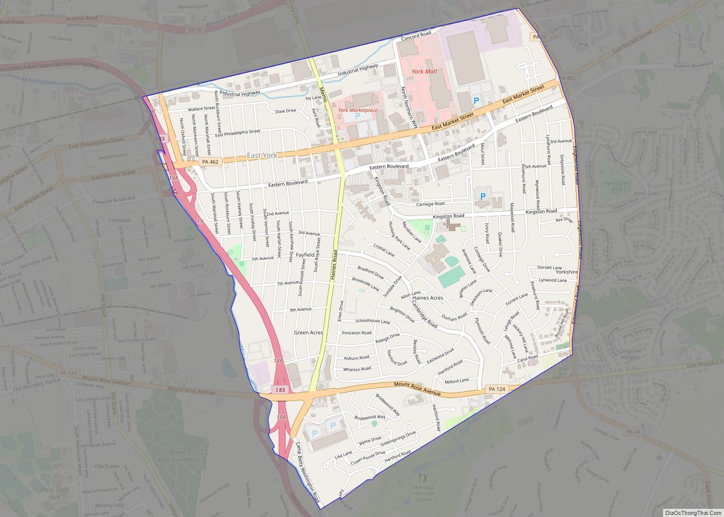
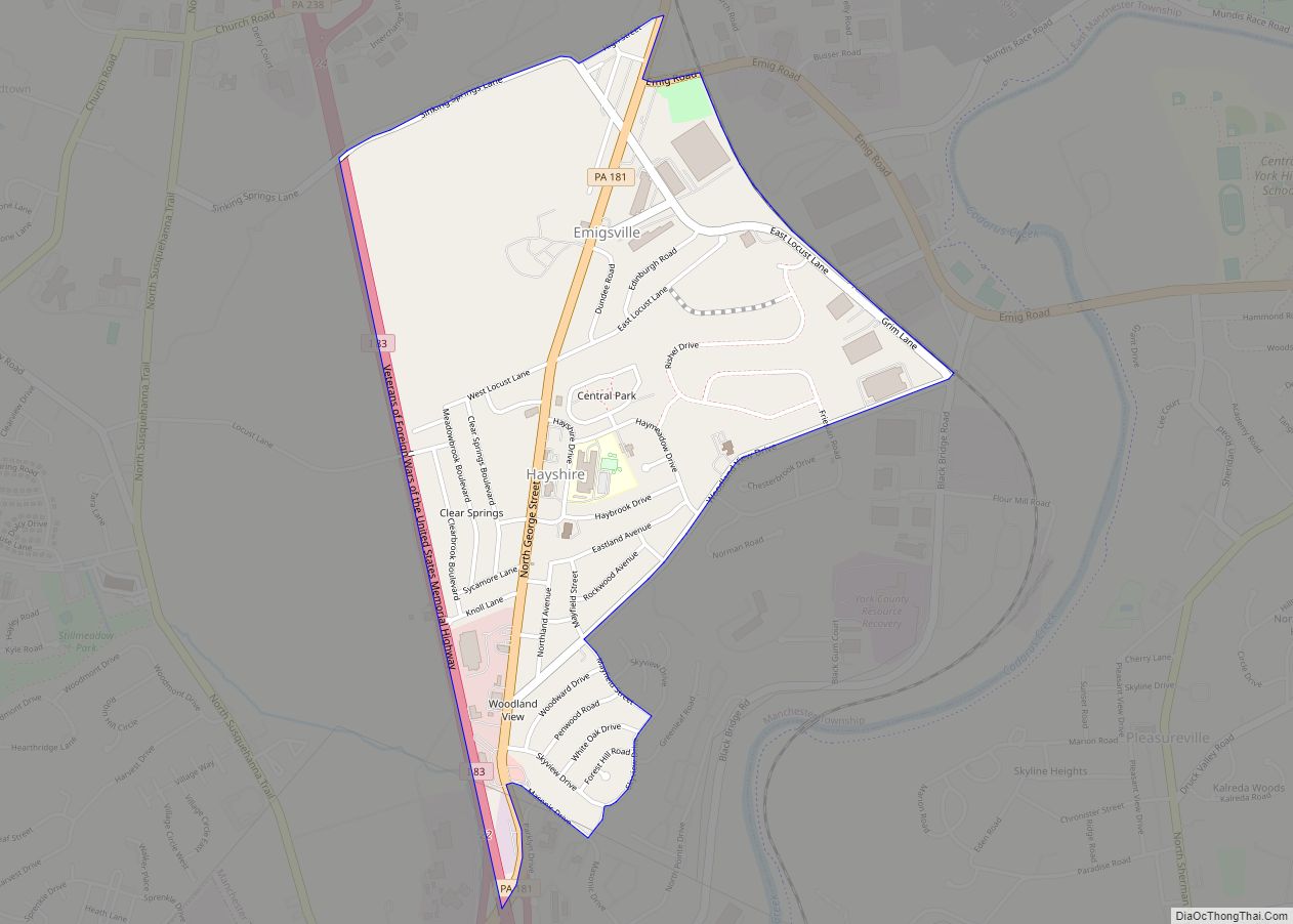
Online Interactive Map
Click on ![]() to view map in "full screen" mode.
to view map in "full screen" mode.
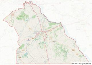
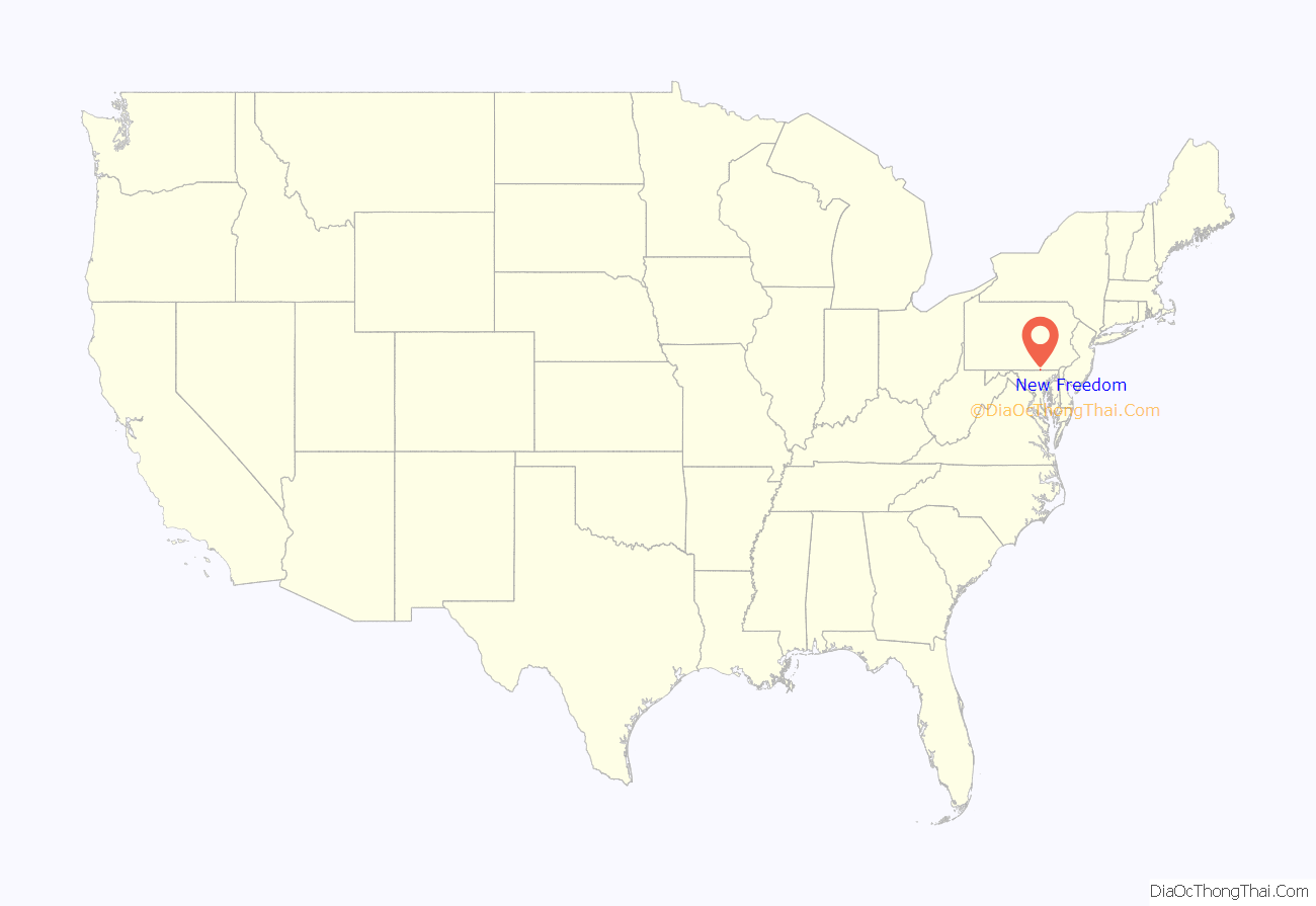
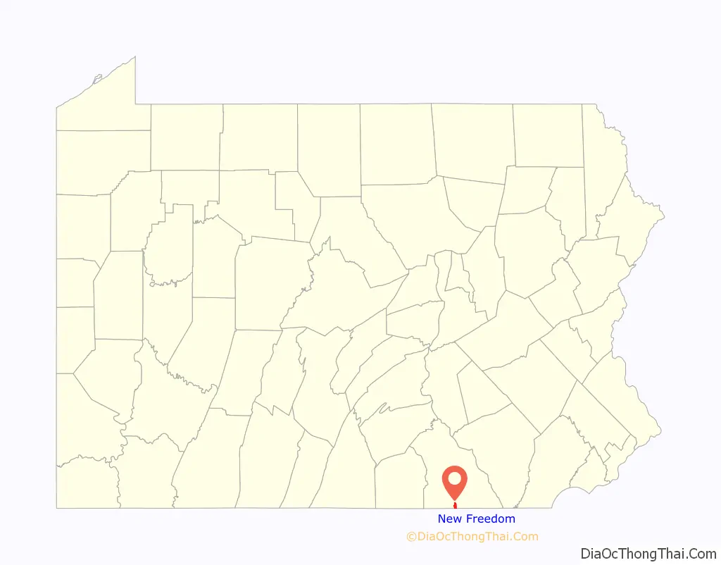
New Freedom location map. Where is New Freedom borough?
History
New Freedom Borough is located in the southern portion of York County, Pennsylvania. The borough borders the Mason-Dixon line and was incorporated in 1873. Originally named “Freedom” for the Free family, there was another town already in existence with that name, so New Freedom was chosen as the official name.
People of German, English, and Scotch-Irish descent settled the area. The rich, fertile soil provided a comfortable living for farming and agricultural opportunities. Summers Canning Company operated in the town for years, canning the freshest harvests and then shipping the final products. Summers Canning Company was sold to Hanover Foods in 1984. A mural depicting scenes from the Summers Canning Company is displayed on a building along the York County Heritage Rail Trail.
The Northern Central Railway was a primary factor for early growth of the town. The rail service established a vital means of commerce and transportation until Hurricane Agnes in 1972 destroyed much of the rail line and bridges in York County.
Located 30 miles north of Baltimore, Maryland and 38 miles south of Harrisburg, Pennsylvania, the town is changing from an area of commerce and minor industry to a commuter community.
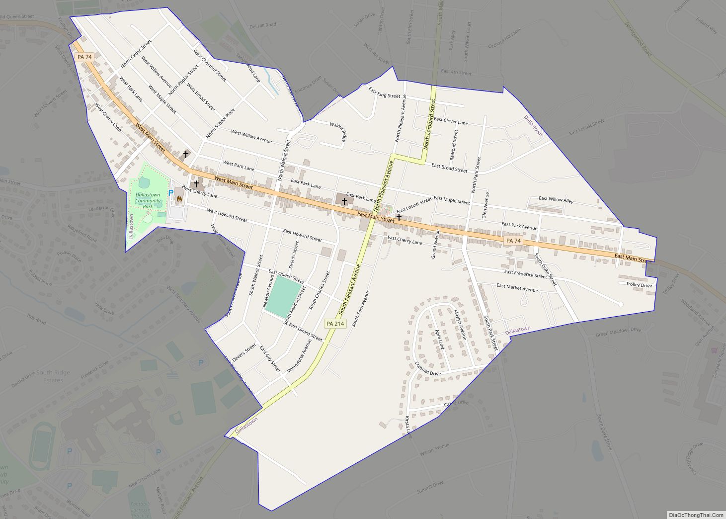
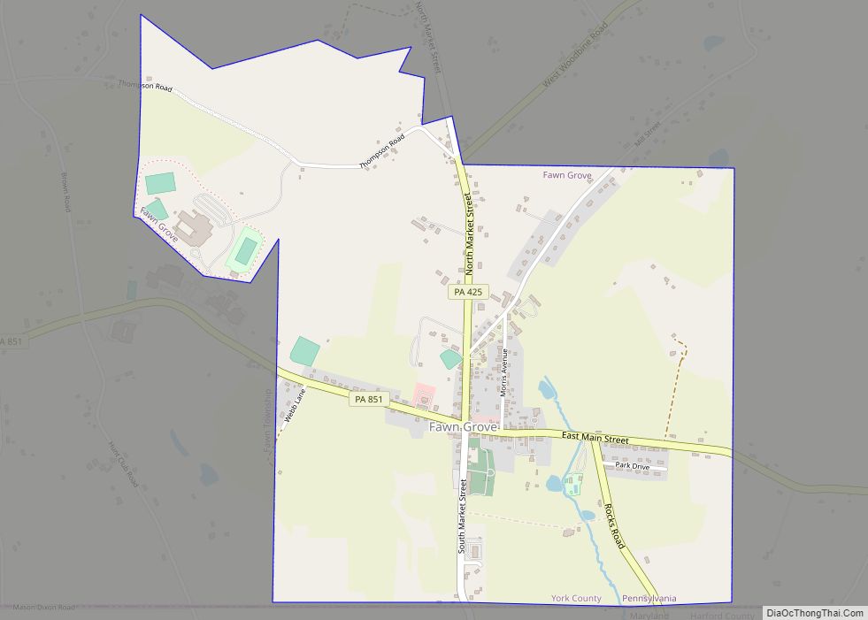
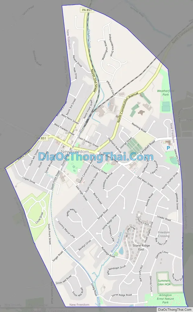
New Freedom Road Map
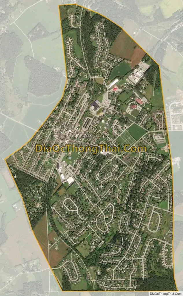
New Freedom city Satellite Map
Geography
New Freedom is located at 39°44′12″N 76°41′55″W / 39.73667°N 76.69861°W / 39.73667; -76.69861 (39.736703, −76.698541).
According to the United States Census Bureau, the borough has a total area of 2.0 square miles (5.2 km), all land.
See also
Map of Pennsylvania State and its subdivision:- Adams
- Allegheny
- Armstrong
- Beaver
- Bedford
- Berks
- Blair
- Bradford
- Bucks
- Butler
- Cambria
- Cameron
- Carbon
- Centre
- Chester
- Clarion
- Clearfield
- Clinton
- Columbia
- Crawford
- Cumberland
- Dauphin
- Delaware
- Elk
- Erie
- Fayette
- Forest
- Franklin
- Fulton
- Greene
- Huntingdon
- Indiana
- Jefferson
- Juniata
- Lackawanna
- Lancaster
- Lawrence
- Lebanon
- Lehigh
- Luzerne
- Lycoming
- Mc Kean
- Mercer
- Mifflin
- Monroe
- Montgomery
- Montour
- Northampton
- Northumberland
- Perry
- Philadelphia
- Pike
- Potter
- Schuylkill
- Snyder
- Somerset
- Sullivan
- Susquehanna
- Tioga
- Union
- Venango
- Warren
- Washington
- Wayne
- Westmoreland
- Wyoming
- York
- Alabama
- Alaska
- Arizona
- Arkansas
- California
- Colorado
- Connecticut
- Delaware
- District of Columbia
- Florida
- Georgia
- Hawaii
- Idaho
- Illinois
- Indiana
- Iowa
- Kansas
- Kentucky
- Louisiana
- Maine
- Maryland
- Massachusetts
- Michigan
- Minnesota
- Mississippi
- Missouri
- Montana
- Nebraska
- Nevada
- New Hampshire
- New Jersey
- New Mexico
- New York
- North Carolina
- North Dakota
- Ohio
- Oklahoma
- Oregon
- Pennsylvania
- Rhode Island
- South Carolina
- South Dakota
- Tennessee
- Texas
- Utah
- Vermont
- Virginia
- Washington
- West Virginia
- Wisconsin
- Wyoming