New Kensington (known locally as New Ken) is a city in Westmoreland County, Pennsylvania, United States. It is situated along the Allegheny River, 18 miles (29 km) northeast of Pittsburgh. The population was 12,170 at the 2020 census.
| Name: | New Kensington city |
|---|---|
| LSAD Code: | 25 |
| LSAD Description: | city (suffix) |
| State: | Pennsylvania |
| County: | Westmoreland County |
| Founded: | 1891 |
| Elevation: | 1,110 ft (338.3 m) |
| Total Area: | 4.26 sq mi (11.03 km²) |
| Land Area: | 3.95 sq mi (10.23 km²) |
| Water Area: | 0.31 sq mi (0.81 km²) |
| Total Population: | 12,170 |
| Population Density: | 3,081.79/sq mi (1,189.84/km²) |
| ZIP code: | 15068,15069 |
| Area code: | 724, 878 |
| FIPS code: | 4253736 |
| Website: | http://newkensingtononline.com |
Online Interactive Map
Click on ![]() to view map in "full screen" mode.
to view map in "full screen" mode.
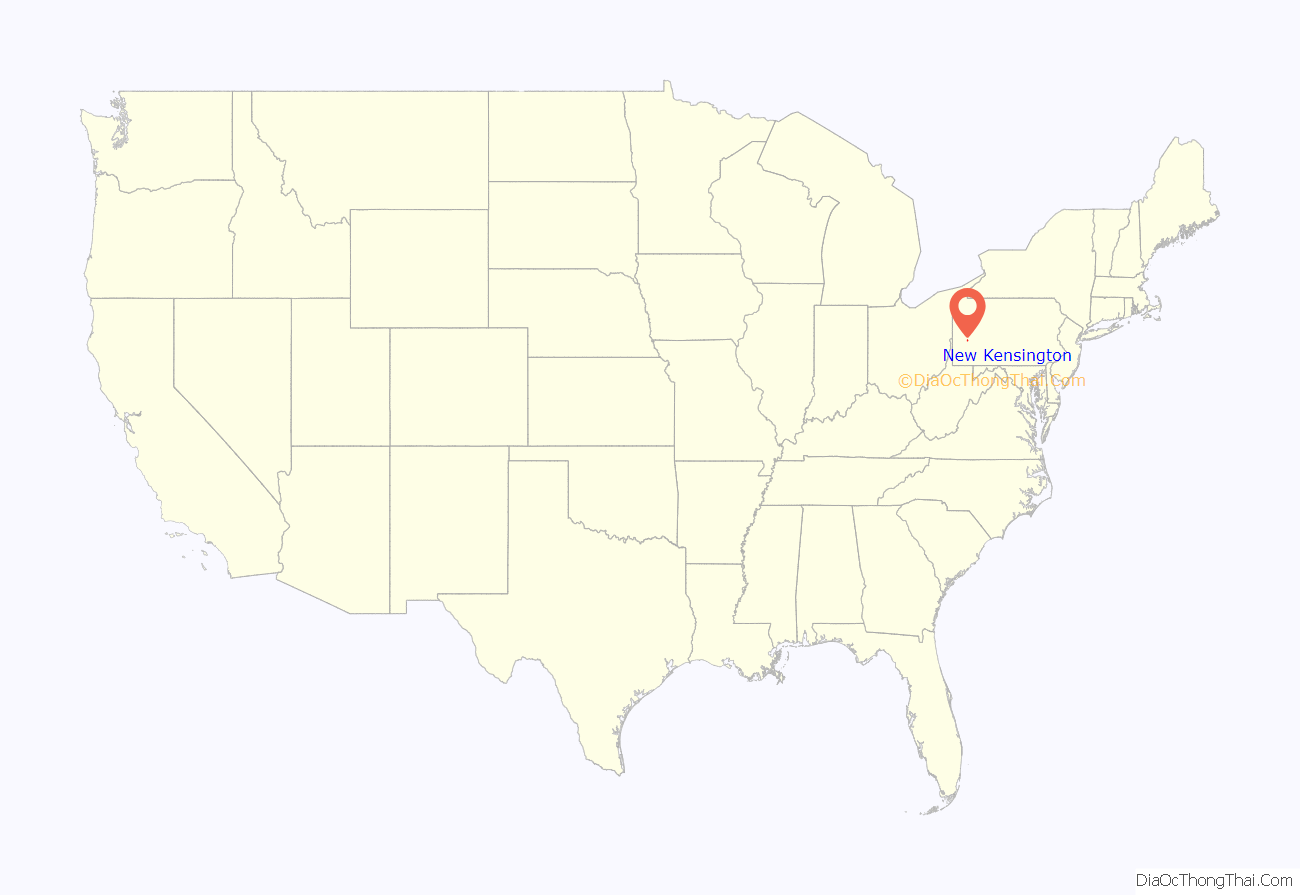
New Kensington location map. Where is New Kensington city?
History
Like much of Westmoreland County and surrounding areas, the region was a hunting ground for Native Americans of the Six Nations. European-American settlement began in the mid-1700s. Continental army troops built Fort Crawford, near the mouth of Pucketa Creek, in 1777. The fort was abandoned in 1793.
Originally part of Burrell (and later Lower Burrell) Township, the city of New Kensington was founded in 1891. In 1890, the Burrell Improvement Company considered the advantages of the level land south of its home in Lower Burrell, and deemed it a prime location for a city and named the area “Kensington”; this was later changed to “New Kensington” for postal reasons, to avoid confusion with the Philadelphia neighborhood of the same name. In an attempt to make New Kensington comparable to Pittsburgh, the streets were named with numbers. Avenues ran parallel to the river, while streets were perpendicular. The main commercial streets were 4th and 5th avenues.
Once the land was surveyed, a public sale was held on June 10, 1891. Thousands of people flooded the area and investors began bringing industry with them. The first large company was the Pittsburgh Reduction Company, which later became Alcoa. They acquired a 3.5-acre (14,000 m) property that allowed the company to utilize the riverfront. The Alcoa facility remained operational until 1971.
Eventually, other companies such as Adams Drilling, Goldsmith and Lowerburg, New Kensington Milling, New Kensington Brewing, Logan Lumber, Keystone Dairy, and many more were built late in the 19th century and continuing into the early 20th century. Early achievements included a railroad station, the 9th Street bridge, a passenger boat that navigated the Allegheny River, a street car line that ran to Natrona via the West Penn Railways, the Kensington Dispatch newspaper, a fire department, hotel, opera house, and a local chapter of the YMCA. New Kensington annexed the independent borough of Parnassus in 1939.
In 1941, New Kensington became the site of a modern workers’ housing project—named the Aluminum City Terrace—designed by Marcel Breuer and Walter Gropius, which set new standards for federal housing design. Breuer and Gropius ascribed to the famous Bauhaus School of Design in Germany. Intended for Alcoa defense workers, it was subsequently used to rehouse displaced residents from other parts of the city. In 1948, tenants from the Terrace decided to purchase the housing project from the U.S. government to form a co-op, managed by a board of directors, elected by representatives from the 250 units. Relatively low-cost monthly fees continue to cover the costs of running the Terrace.
Today, New Kensington contains the neighborhoods of Parnassus, Mount Vernon, Valley Heights, Valley Camp, Pine Manor, and 40 Acres.
The New Kensington Downtown Historic District, New Kensington Production Works Historic District, and Mount St. Peter Roman Catholic Church are listed on the National Register of Historic Places.
New Kensington Road Map
New Kensington city Satellite Map
See also
Map of Pennsylvania State and its subdivision:- Adams
- Allegheny
- Armstrong
- Beaver
- Bedford
- Berks
- Blair
- Bradford
- Bucks
- Butler
- Cambria
- Cameron
- Carbon
- Centre
- Chester
- Clarion
- Clearfield
- Clinton
- Columbia
- Crawford
- Cumberland
- Dauphin
- Delaware
- Elk
- Erie
- Fayette
- Forest
- Franklin
- Fulton
- Greene
- Huntingdon
- Indiana
- Jefferson
- Juniata
- Lackawanna
- Lancaster
- Lawrence
- Lebanon
- Lehigh
- Luzerne
- Lycoming
- Mc Kean
- Mercer
- Mifflin
- Monroe
- Montgomery
- Montour
- Northampton
- Northumberland
- Perry
- Philadelphia
- Pike
- Potter
- Schuylkill
- Snyder
- Somerset
- Sullivan
- Susquehanna
- Tioga
- Union
- Venango
- Warren
- Washington
- Wayne
- Westmoreland
- Wyoming
- York
- Alabama
- Alaska
- Arizona
- Arkansas
- California
- Colorado
- Connecticut
- Delaware
- District of Columbia
- Florida
- Georgia
- Hawaii
- Idaho
- Illinois
- Indiana
- Iowa
- Kansas
- Kentucky
- Louisiana
- Maine
- Maryland
- Massachusetts
- Michigan
- Minnesota
- Mississippi
- Missouri
- Montana
- Nebraska
- Nevada
- New Hampshire
- New Jersey
- New Mexico
- New York
- North Carolina
- North Dakota
- Ohio
- Oklahoma
- Oregon
- Pennsylvania
- Rhode Island
- South Carolina
- South Dakota
- Tennessee
- Texas
- Utah
- Vermont
- Virginia
- Washington
- West Virginia
- Wisconsin
- Wyoming
