Oakmont is a borough in Allegheny County, in the U.S. state of Pennsylvania. It is a Pittsburgh suburb and part of the Pittsburgh Metro Area. The population was 6,758 as of the 2020 Census.
Incorporated as a town in 1889, this Allegheny River community began in 1816 when a farmer, Michael Bright, bought a large tract of land 15 miles (24 km) northeast of Pittsburgh. The settlement took its name from a landmark tree, as the deed description reads, “Beginning at a black oak on the bank of the Allegheny River …” The borough is best known for the nearby Oakmont Country Club, a premier golf course which has been the site of numerous U.S. Open golf tournaments, including the 2016 U.S. Open.
| Name: | Oakmont borough |
|---|---|
| LSAD Code: | 21 |
| LSAD Description: | borough (suffix) |
| State: | Pennsylvania |
| County: | Allegheny County |
| Total Area: | 1.78 sq mi (4.60 km²) |
| Land Area: | 1.58 sq mi (4.10 km²) |
| Water Area: | 0.19 sq mi (0.49 km²) |
| Total Population: | 6,758 |
| Population Density: | 4,266.41/sq mi (1,647.75/km²) |
| ZIP code: | 15139 |
| FIPS code: | 4256088 |
Online Interactive Map
Click on ![]() to view map in "full screen" mode.
to view map in "full screen" mode.
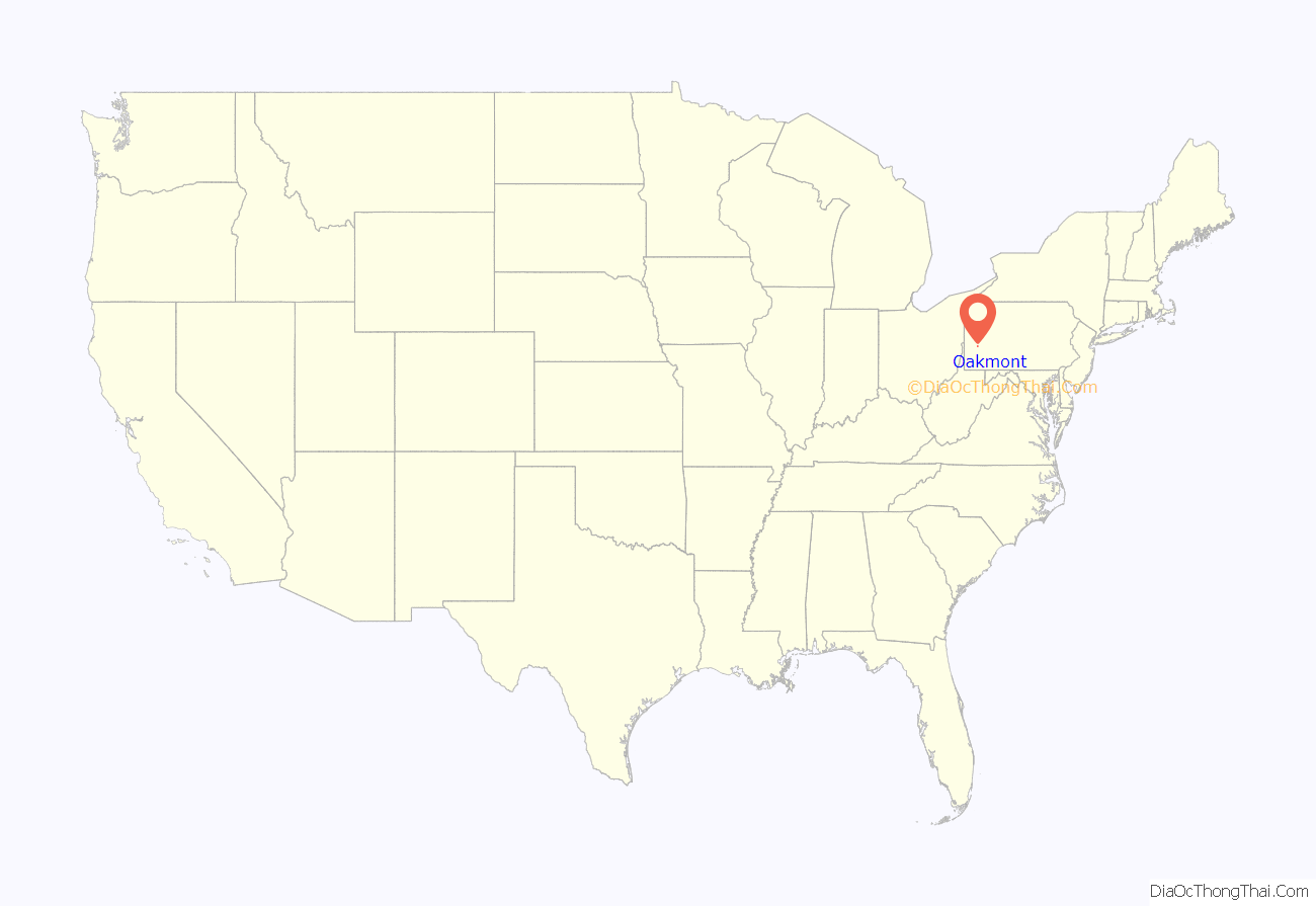
Oakmont location map. Where is Oakmont borough?
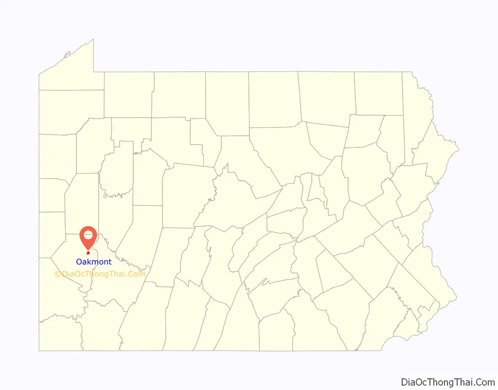
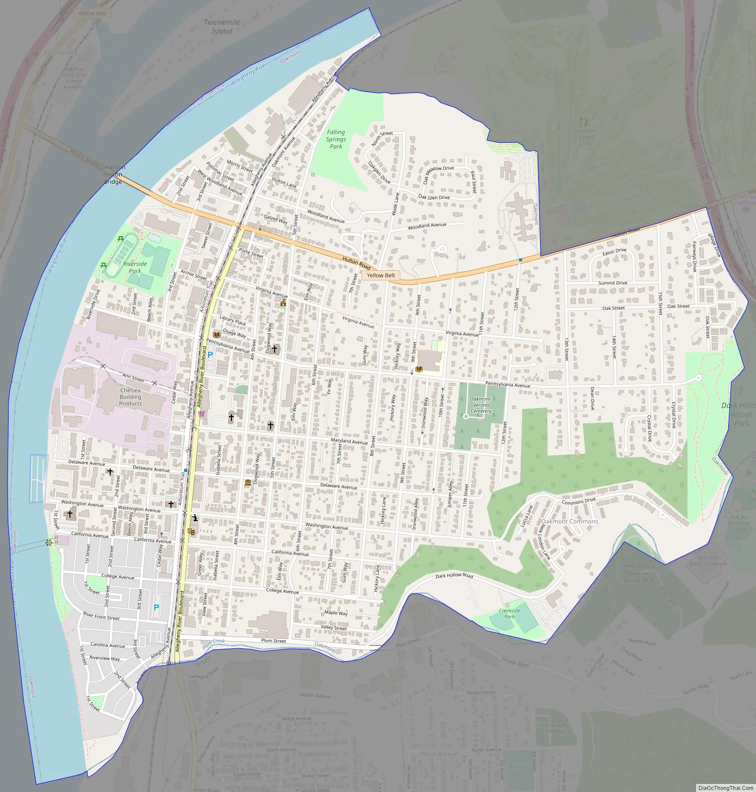
Oakmont Road Map
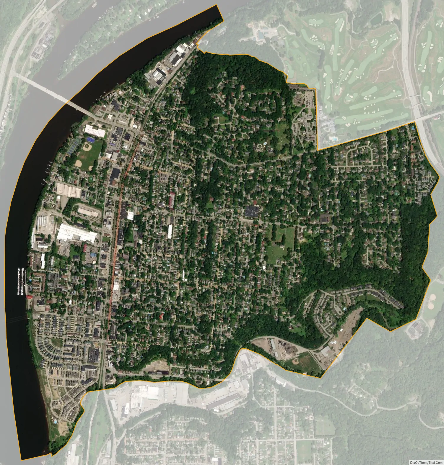
Oakmont city Satellite Map
Geography
Oakmont is located at 40°31′10″N 79°50′15″W / 40.51944°N 79.83750°W / 40.51944; -79.83750 (40.519518, -79.837620).
According to the United States Census Bureau, the borough has a total area of 1.8 square miles (4.7 km), of which 1.6 square miles (4.1 km) is land and 0.2 square miles (0.52 km), or 8.99%, is water. The business district of town is on relatively flat land near the Allegheny River, but the main residential area is on the upward slope headed toward Oakmont Country Club and the Pennsylvania Turnpike. Plum Creek flows through the borough.
Oakmont has three land borders, including Plum to the east, and Penn Hills and Verona to the south. Across the Allegheny River to the west and northwest, Oakmont runs adjacent with O’Hara Township to the west and Harmar Township to the north (via the Hulton Bridge).
See also
Map of Pennsylvania State and its subdivision:- Adams
- Allegheny
- Armstrong
- Beaver
- Bedford
- Berks
- Blair
- Bradford
- Bucks
- Butler
- Cambria
- Cameron
- Carbon
- Centre
- Chester
- Clarion
- Clearfield
- Clinton
- Columbia
- Crawford
- Cumberland
- Dauphin
- Delaware
- Elk
- Erie
- Fayette
- Forest
- Franklin
- Fulton
- Greene
- Huntingdon
- Indiana
- Jefferson
- Juniata
- Lackawanna
- Lancaster
- Lawrence
- Lebanon
- Lehigh
- Luzerne
- Lycoming
- Mc Kean
- Mercer
- Mifflin
- Monroe
- Montgomery
- Montour
- Northampton
- Northumberland
- Perry
- Philadelphia
- Pike
- Potter
- Schuylkill
- Snyder
- Somerset
- Sullivan
- Susquehanna
- Tioga
- Union
- Venango
- Warren
- Washington
- Wayne
- Westmoreland
- Wyoming
- York
- Alabama
- Alaska
- Arizona
- Arkansas
- California
- Colorado
- Connecticut
- Delaware
- District of Columbia
- Florida
- Georgia
- Hawaii
- Idaho
- Illinois
- Indiana
- Iowa
- Kansas
- Kentucky
- Louisiana
- Maine
- Maryland
- Massachusetts
- Michigan
- Minnesota
- Mississippi
- Missouri
- Montana
- Nebraska
- Nevada
- New Hampshire
- New Jersey
- New Mexico
- New York
- North Carolina
- North Dakota
- Ohio
- Oklahoma
- Oregon
- Pennsylvania
- Rhode Island
- South Carolina
- South Dakota
- Tennessee
- Texas
- Utah
- Vermont
- Virginia
- Washington
- West Virginia
- Wisconsin
- Wyoming


