Pennsbury Village is a borough in Allegheny County, Pennsylvania, United States. The population was 677 at the 2020 census.
| Name: | Pennsbury Village borough |
|---|---|
| LSAD Code: | 21 |
| LSAD Description: | borough (suffix) |
| State: | Pennsylvania |
| County: | Allegheny County |
| Total Area: | 0.07 sq mi (0.20 km²) |
| Land Area: | 0.07 sq mi (0.20 km²) |
| Water Area: | 0.00 sq mi (0.00 km²) |
| Total Population: | 677 |
| Population Density: | 9,026.67/sq mi (3,466.66/km²) |
| FIPS code: | 4259152 |
| Website: | pennsburyvillageboro.com |
Online Interactive Map
Click on ![]() to view map in "full screen" mode.
to view map in "full screen" mode.
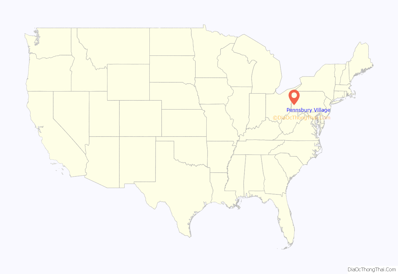
Pennsbury Village location map. Where is Pennsbury Village borough?
History
Pennsbury is a unique borough in that it is entirely a municipality of condo-style houses, having been built in 1973. In 1976, there was a disagreement with Robinson Township over proposed sewage treatment fees, which triggered the self-government attempt. In 1977, it separated from the surrounding township and became an Allegheny County borough. The words of the Declaration of Secession included “that we can govern our affairs more effectively and equitable than a distant and disinterested authority”. The first council of officials and a mayor were elected and took office in January, 1977.
Pennsbury Village Road Map
Pennsbury Village city Satellite Map
Geography
Pennsbury Village is located at 40°25′40″N 80°6′3″W / 40.42778°N 80.10083°W / 40.42778; -80.10083.
According to the United States Census Bureau, the borough has a total area of 0.1 square miles (0.26 km), all land.
See also
Map of Pennsylvania State and its subdivision:- Adams
- Allegheny
- Armstrong
- Beaver
- Bedford
- Berks
- Blair
- Bradford
- Bucks
- Butler
- Cambria
- Cameron
- Carbon
- Centre
- Chester
- Clarion
- Clearfield
- Clinton
- Columbia
- Crawford
- Cumberland
- Dauphin
- Delaware
- Elk
- Erie
- Fayette
- Forest
- Franklin
- Fulton
- Greene
- Huntingdon
- Indiana
- Jefferson
- Juniata
- Lackawanna
- Lancaster
- Lawrence
- Lebanon
- Lehigh
- Luzerne
- Lycoming
- Mc Kean
- Mercer
- Mifflin
- Monroe
- Montgomery
- Montour
- Northampton
- Northumberland
- Perry
- Philadelphia
- Pike
- Potter
- Schuylkill
- Snyder
- Somerset
- Sullivan
- Susquehanna
- Tioga
- Union
- Venango
- Warren
- Washington
- Wayne
- Westmoreland
- Wyoming
- York
- Alabama
- Alaska
- Arizona
- Arkansas
- California
- Colorado
- Connecticut
- Delaware
- District of Columbia
- Florida
- Georgia
- Hawaii
- Idaho
- Illinois
- Indiana
- Iowa
- Kansas
- Kentucky
- Louisiana
- Maine
- Maryland
- Massachusetts
- Michigan
- Minnesota
- Mississippi
- Missouri
- Montana
- Nebraska
- Nevada
- New Hampshire
- New Jersey
- New Mexico
- New York
- North Carolina
- North Dakota
- Ohio
- Oklahoma
- Oregon
- Pennsylvania
- Rhode Island
- South Carolina
- South Dakota
- Tennessee
- Texas
- Utah
- Vermont
- Virginia
- Washington
- West Virginia
- Wisconsin
- Wyoming
