Red Lion (Pennsylvania Dutch: Rot Leeb) is a borough in York County, Pennsylvania, United States, settled in 1852 and incorporated on January 16, 1880. The population was 6,506 at the 2020 census.
| Name: | Red Lion borough |
|---|---|
| LSAD Code: | 21 |
| LSAD Description: | borough (suffix) |
| State: | Pennsylvania |
| County: | York County |
| Incorporated: | January 16, 1880 |
| Elevation: | 921 ft (281 m) |
| Total Area: | 1.31 sq mi (3.40 km²) |
| Land Area: | 1.31 sq mi (3.40 km²) |
| Water Area: | 0.00 sq mi (0.00 km²) |
| Total Population: | 6,512 |
| Population Density: | 4,959.63/sq mi (1,915.54/km²) |
| ZIP code: | 17356 |
| Area code: | 717 |
| FIPS code: | 4263840 |
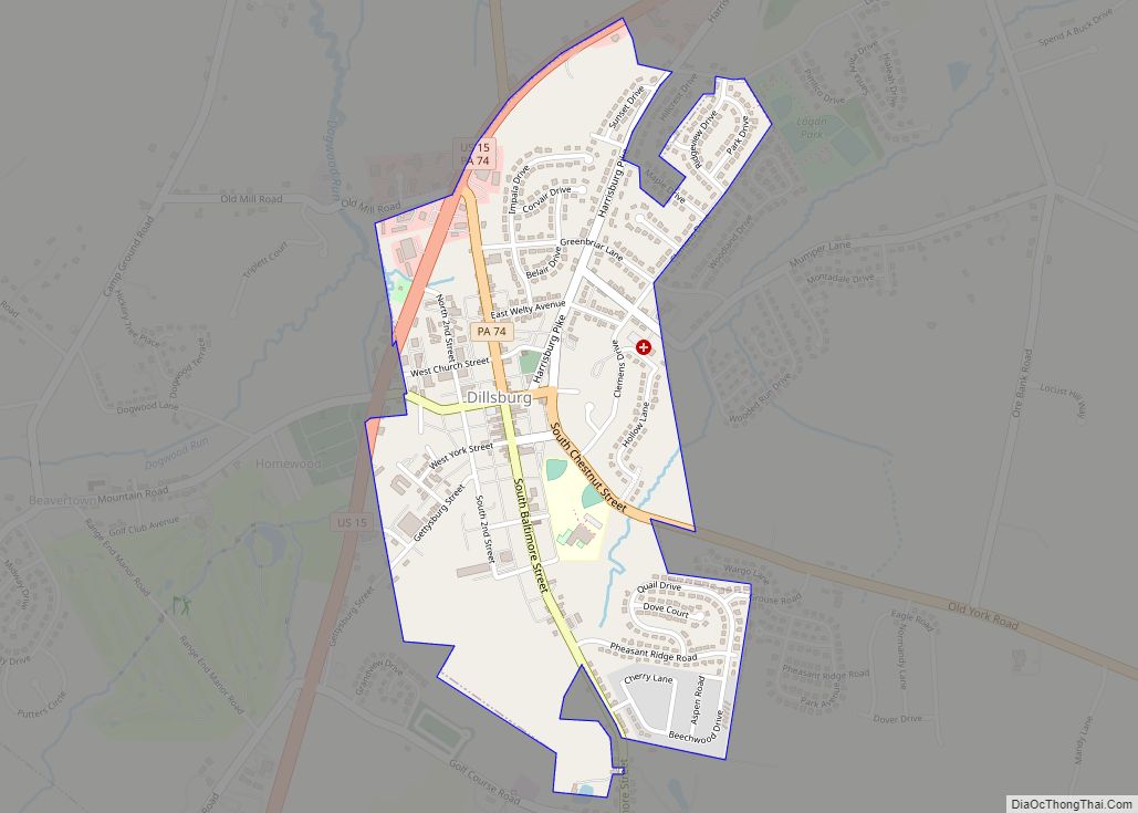
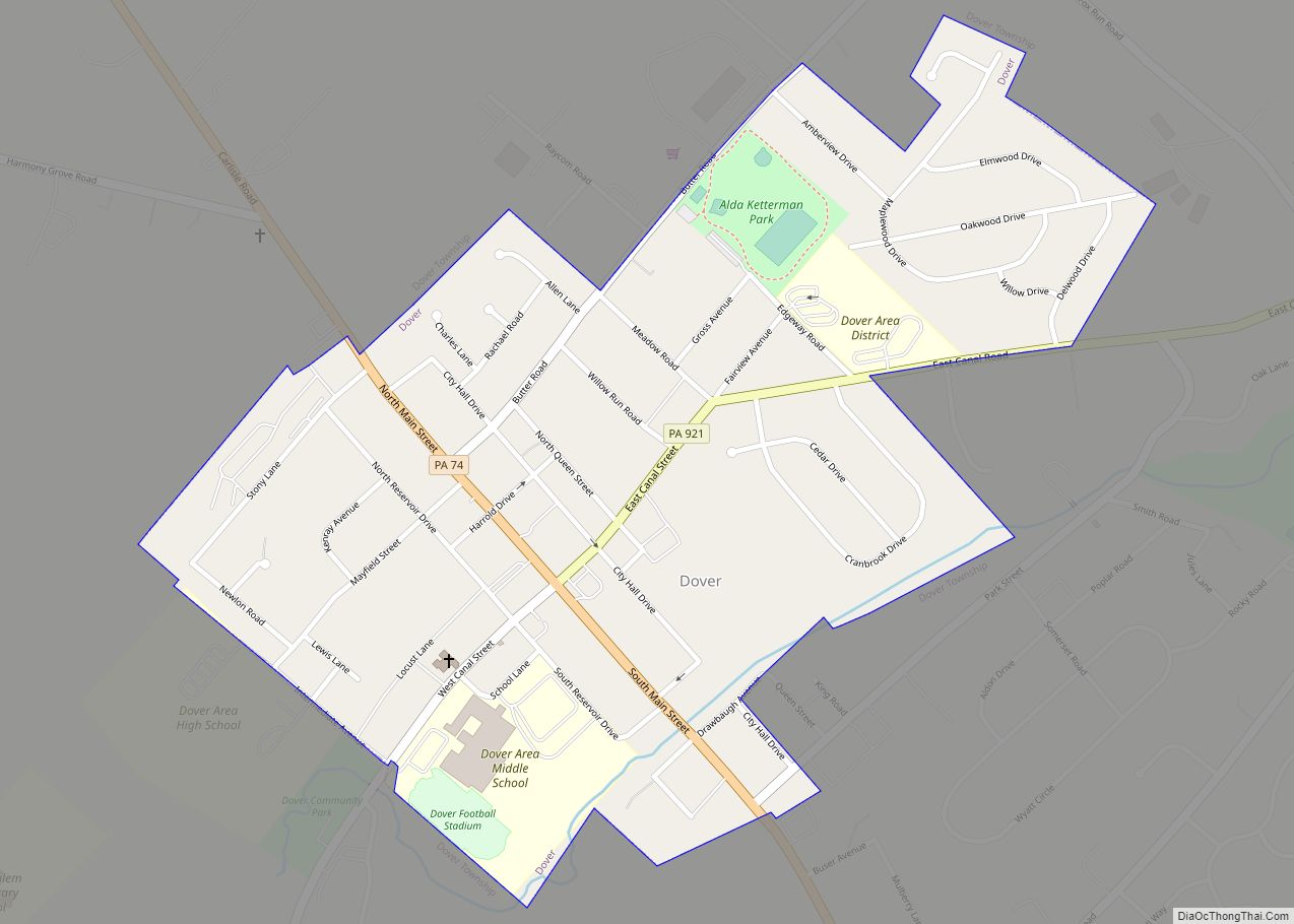
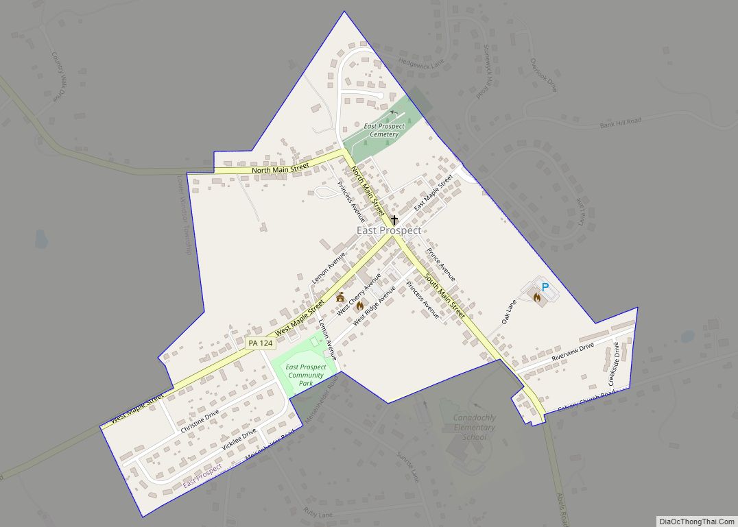
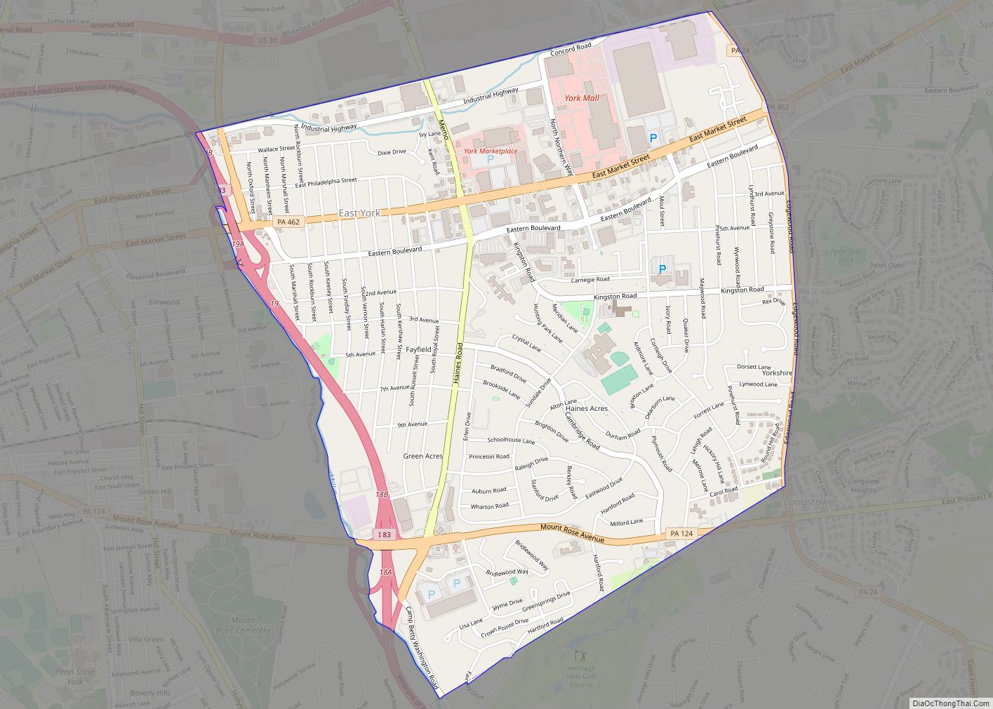
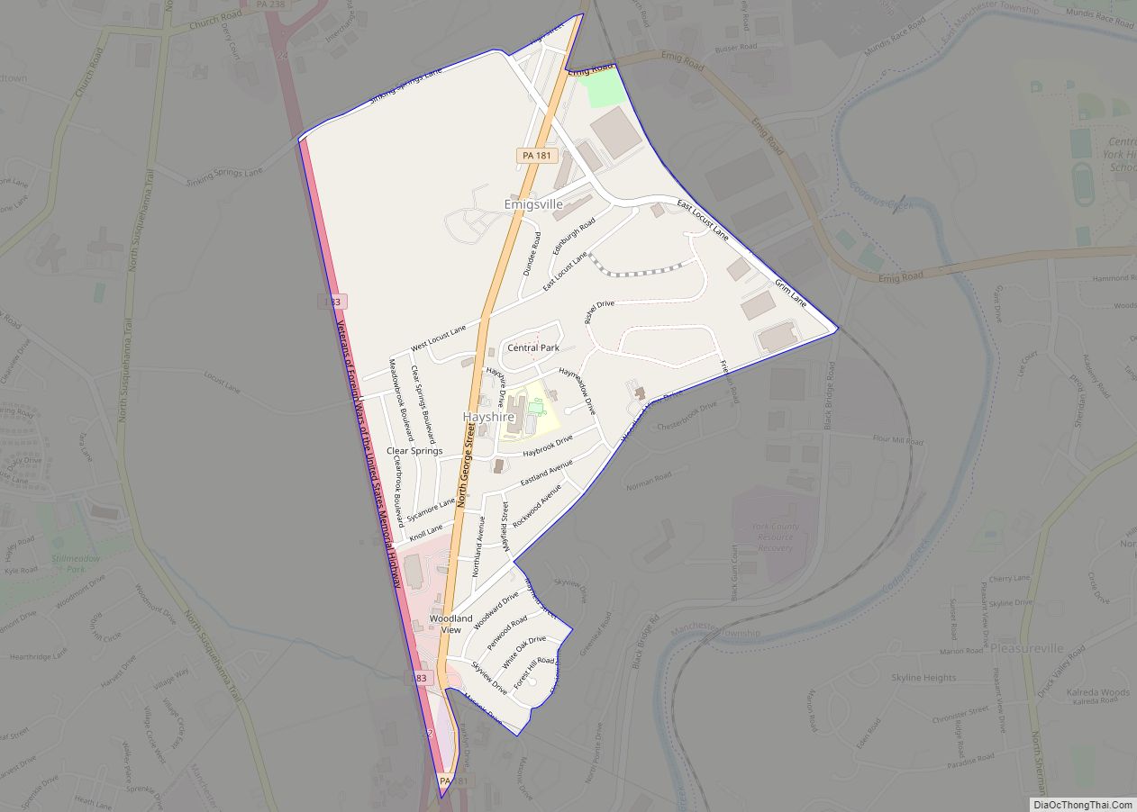
Online Interactive Map
Click on ![]() to view map in "full screen" mode.
to view map in "full screen" mode.
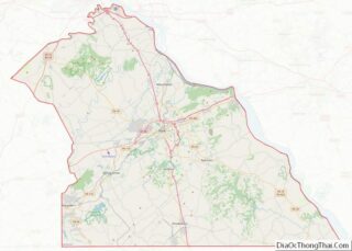
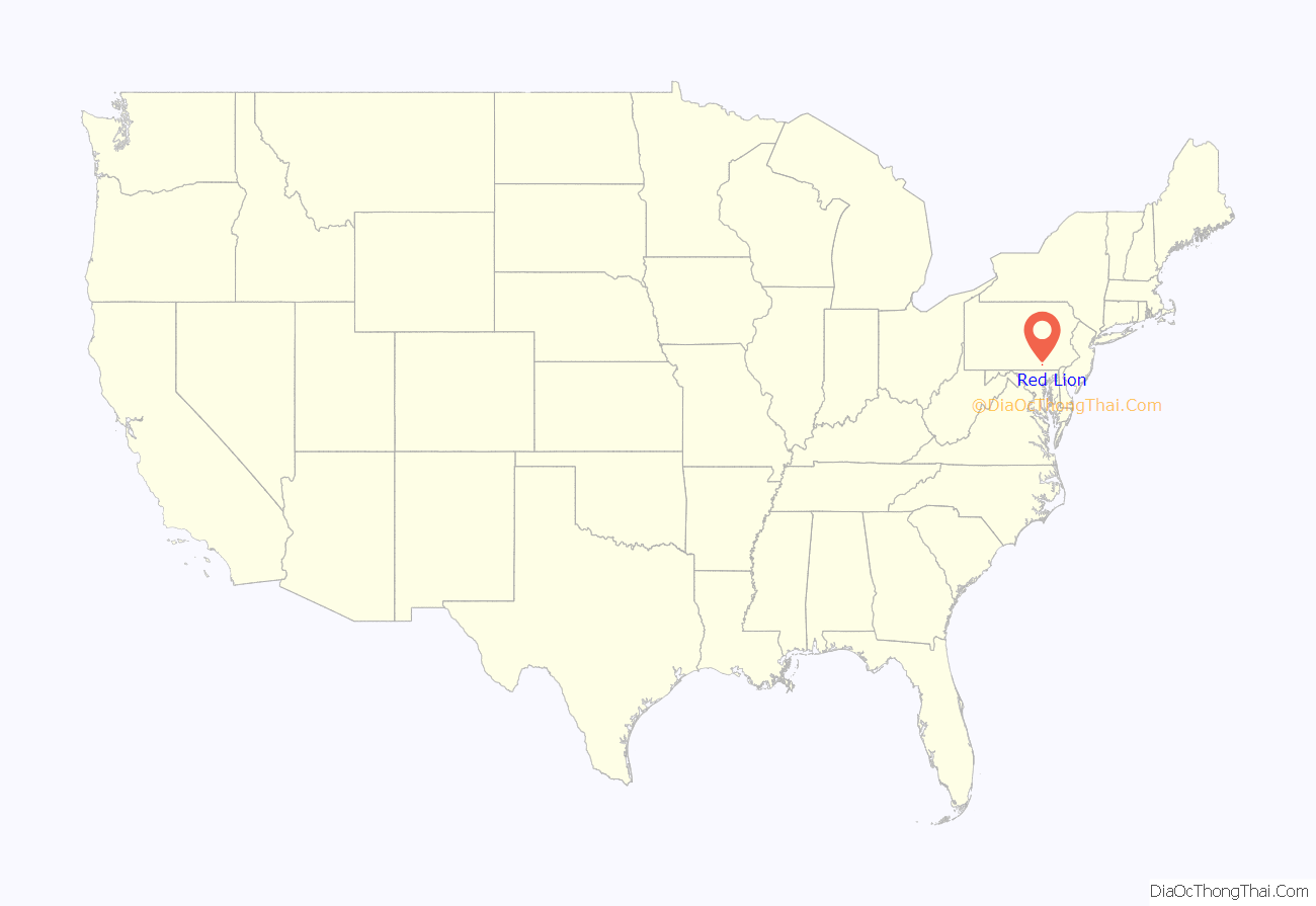
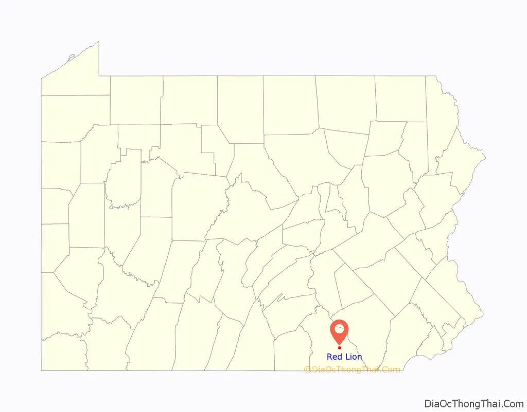
Red Lion location map. Where is Red Lion borough?
History
Red Lion, settled in 1852, was named after one of the first pubs in town, the Red Lion Tavern.
The town was a main stop along the old Maryland and Pennsylvania Railroad, known locally as the “Ma & Pa” Railroad. That railroad ran from York County to Baltimore, Maryland.
Red Lion was once famous for the many brands of cigars made there. The town produced millions of cigars per month, about 10% of the cigars made in the United States. The town raises a cigar every New Year’s Eve. It was also known nationwide for its furniture industry, with several large factories producing ornate, hand crafted furniture for over 100 years. The furniture industry has mostly shifted to kitchen cabinet production and retail store fixtures over the last 40 years.
The Consumers Cigar Box Company and Red Lion Borough Historic District are listed on the National Register of Historic Places.
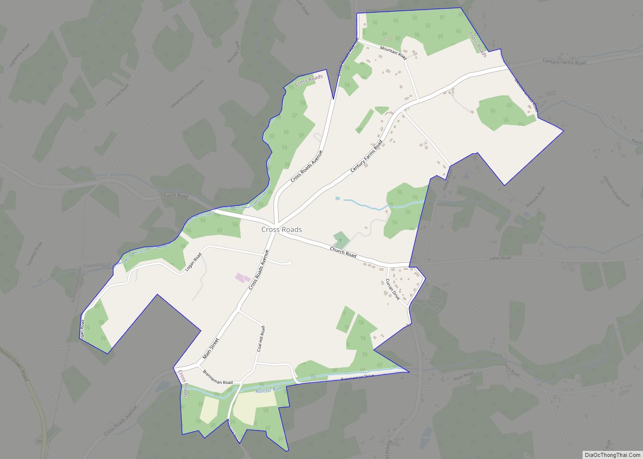
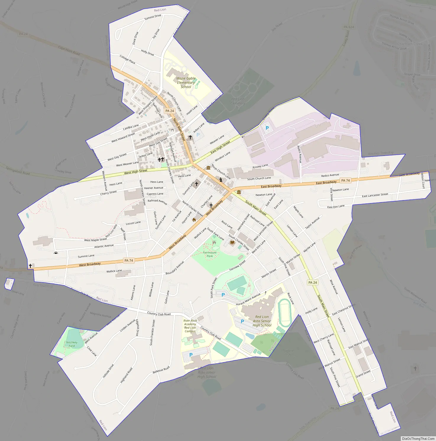
Red Lion Road Map
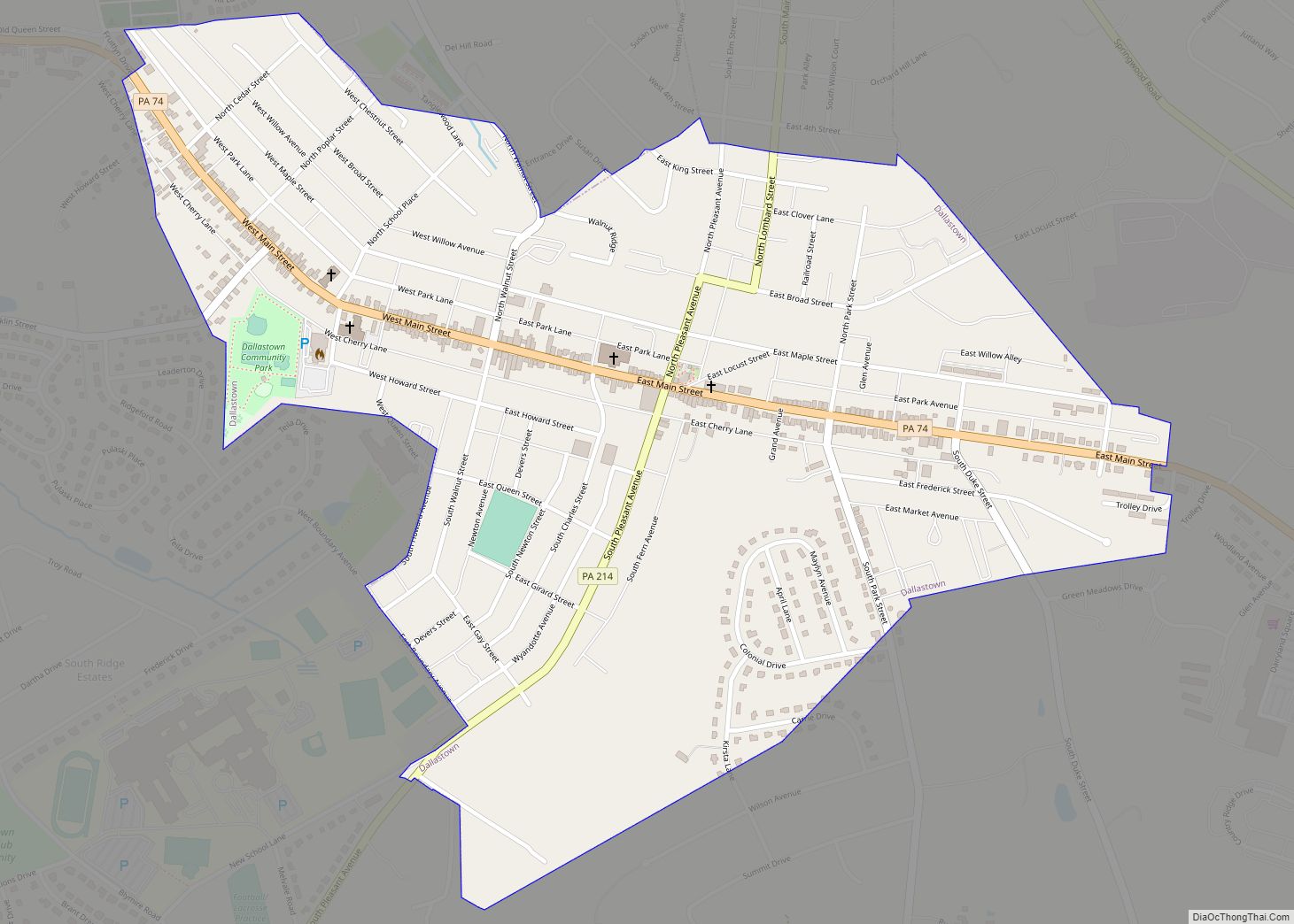
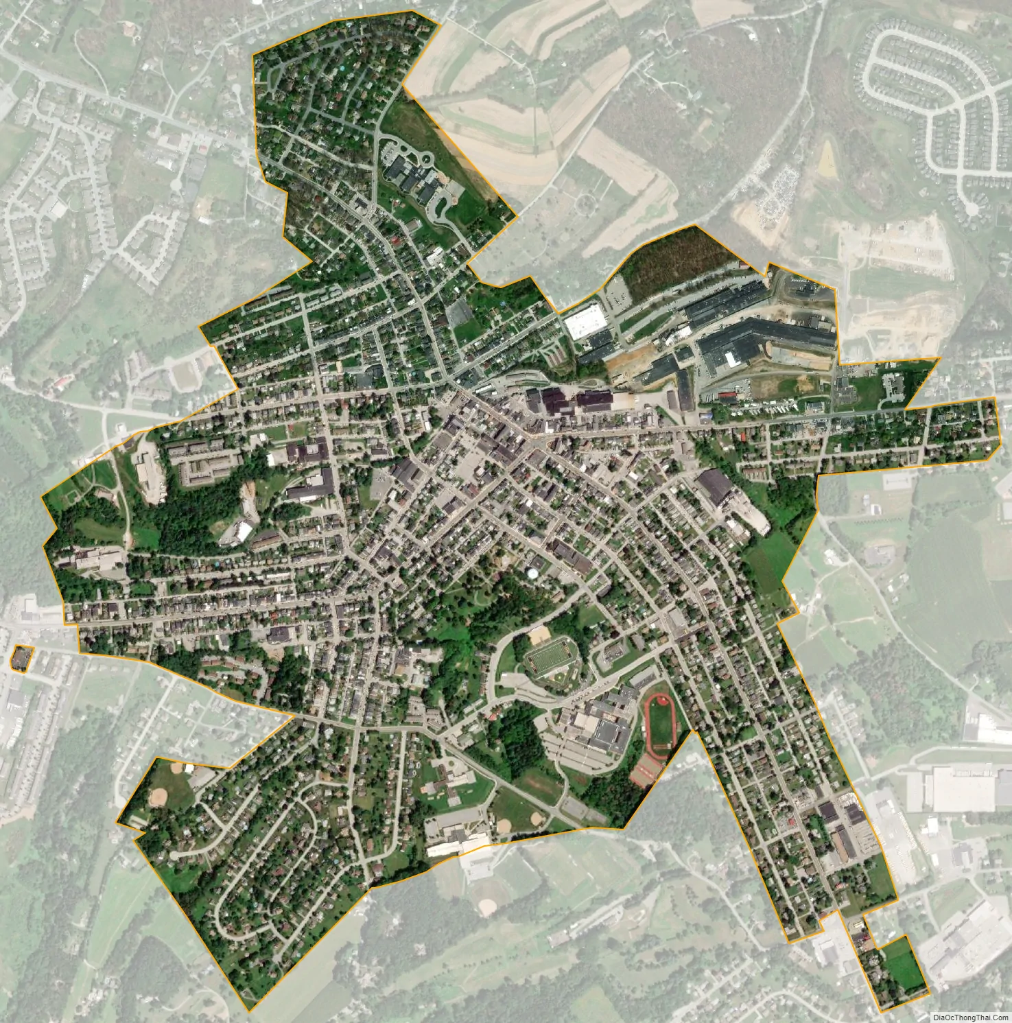
Red Lion city Satellite Map
Geography
Red Lion is located about 35 miles (56.3 mi) southeast of Harrisburg. According to the U.S. Census Bureau, the borough has a total area of 1.3 square miles (3.3 km), all land.
See also
Map of Pennsylvania State and its subdivision:- Adams
- Allegheny
- Armstrong
- Beaver
- Bedford
- Berks
- Blair
- Bradford
- Bucks
- Butler
- Cambria
- Cameron
- Carbon
- Centre
- Chester
- Clarion
- Clearfield
- Clinton
- Columbia
- Crawford
- Cumberland
- Dauphin
- Delaware
- Elk
- Erie
- Fayette
- Forest
- Franklin
- Fulton
- Greene
- Huntingdon
- Indiana
- Jefferson
- Juniata
- Lackawanna
- Lancaster
- Lawrence
- Lebanon
- Lehigh
- Luzerne
- Lycoming
- Mc Kean
- Mercer
- Mifflin
- Monroe
- Montgomery
- Montour
- Northampton
- Northumberland
- Perry
- Philadelphia
- Pike
- Potter
- Schuylkill
- Snyder
- Somerset
- Sullivan
- Susquehanna
- Tioga
- Union
- Venango
- Warren
- Washington
- Wayne
- Westmoreland
- Wyoming
- York
- Alabama
- Alaska
- Arizona
- Arkansas
- California
- Colorado
- Connecticut
- Delaware
- District of Columbia
- Florida
- Georgia
- Hawaii
- Idaho
- Illinois
- Indiana
- Iowa
- Kansas
- Kentucky
- Louisiana
- Maine
- Maryland
- Massachusetts
- Michigan
- Minnesota
- Mississippi
- Missouri
- Montana
- Nebraska
- Nevada
- New Hampshire
- New Jersey
- New Mexico
- New York
- North Carolina
- North Dakota
- Ohio
- Oklahoma
- Oregon
- Pennsylvania
- Rhode Island
- South Carolina
- South Dakota
- Tennessee
- Texas
- Utah
- Vermont
- Virginia
- Washington
- West Virginia
- Wisconsin
- Wyoming