Seven Springs is a borough in Somerset and Fayette counties in the U.S. state of Pennsylvania. The Fayette County portion of the borough and resort are part of the Pittsburgh metropolitan area, and the Somerset County portion is part of the Johnstown Metropolitan Area. The population of the borough was 26 as of the 2010 census, compared to 127 at the 2000 census. Fifteen of the residents in 2010 were in Fayette County, and 11 in Somerset County.
The borough limits encompass the majority of Seven Springs Mountain Resort in Somerset County, although the resort’s business address may be listed as “Champion”, referring to an unincorporated village located 7 miles (11 km) to the northwest in Fayette County.
The borough is served by the Connellsville Area School District.
| Name: | Seven Springs borough |
|---|---|
| LSAD Code: | 21 |
| LSAD Description: | borough (suffix) |
| State: | Pennsylvania |
| County: | Fayette County, Somerset County |
| Elevation: | 2,530 ft (770 m) |
| Total Area: | 1.08 sq mi (2.79 km²) |
| Land Area: | 1.08 sq mi (2.79 km²) |
| Water Area: | 0.00 sq mi (0.00 km²) |
| Total Population: | 26 |
| Population Density: | 22.28/sq mi (8.60/km²) |
| Area code: | 724, 814 |
| FIPS code: | 4269336 |
Online Interactive Map
Click on ![]() to view map in "full screen" mode.
to view map in "full screen" mode.
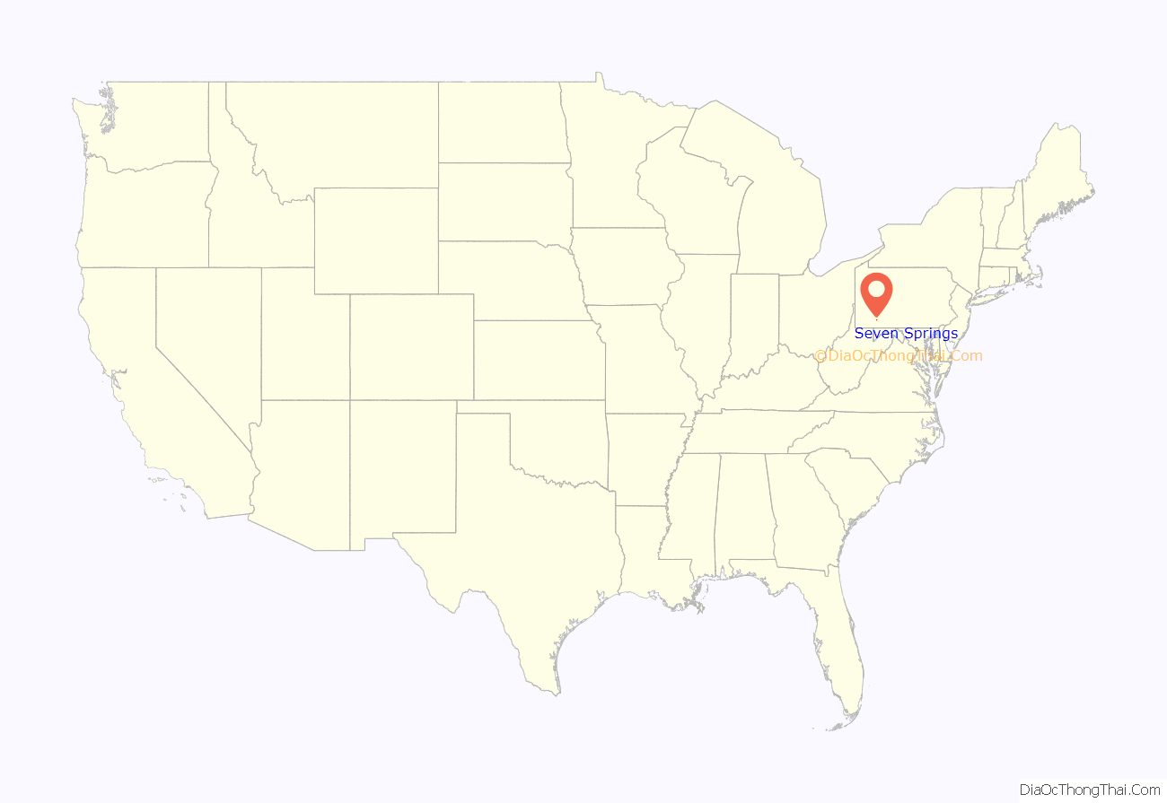
Seven Springs location map. Where is Seven Springs borough?
Seven Springs Road Map
Seven Springs city Satellite Map
Geography
Seven Springs is located at 40°1′23″N 79°17′34″W / 40.02306°N 79.29278°W / 40.02306; -79.29278 (40.022939, -79.292850). Most of the borough is located in western Somerset County, but a portion extends west into the northeastern corner of Fayette County.
According to the United States Census Bureau, the borough has an area of 1.08 square miles (2.80 km), all land.
Seven Springs has the distinction of being, in elevation, the highest borough in Pennsylvania, at 2,530 feet (770 m). It sits along the crest of Laurel Hill, a major north–south ridge of the Allegheny Mountains.
The borough is mostly surrounded by Middlecreek Township, Somerset County, but also borders Jefferson Township, Somerset County, and Saltlick Township, Fayette County.
See also
Map of Pennsylvania State and its subdivision:- Adams
- Allegheny
- Armstrong
- Beaver
- Bedford
- Berks
- Blair
- Bradford
- Bucks
- Butler
- Cambria
- Cameron
- Carbon
- Centre
- Chester
- Clarion
- Clearfield
- Clinton
- Columbia
- Crawford
- Cumberland
- Dauphin
- Delaware
- Elk
- Erie
- Fayette
- Forest
- Franklin
- Fulton
- Greene
- Huntingdon
- Indiana
- Jefferson
- Juniata
- Lackawanna
- Lancaster
- Lawrence
- Lebanon
- Lehigh
- Luzerne
- Lycoming
- Mc Kean
- Mercer
- Mifflin
- Monroe
- Montgomery
- Montour
- Northampton
- Northumberland
- Perry
- Philadelphia
- Pike
- Potter
- Schuylkill
- Snyder
- Somerset
- Sullivan
- Susquehanna
- Tioga
- Union
- Venango
- Warren
- Washington
- Wayne
- Westmoreland
- Wyoming
- York
- Alabama
- Alaska
- Arizona
- Arkansas
- California
- Colorado
- Connecticut
- Delaware
- District of Columbia
- Florida
- Georgia
- Hawaii
- Idaho
- Illinois
- Indiana
- Iowa
- Kansas
- Kentucky
- Louisiana
- Maine
- Maryland
- Massachusetts
- Michigan
- Minnesota
- Mississippi
- Missouri
- Montana
- Nebraska
- Nevada
- New Hampshire
- New Jersey
- New Mexico
- New York
- North Carolina
- North Dakota
- Ohio
- Oklahoma
- Oregon
- Pennsylvania
- Rhode Island
- South Carolina
- South Dakota
- Tennessee
- Texas
- Utah
- Vermont
- Virginia
- Washington
- West Virginia
- Wisconsin
- Wyoming
