Sewickley Heights is a borough in Allegheny County, Pennsylvania, United States. The population was 857 at the 2020 census. Sewickley Heights is one of the wealthiest municipalities in Pennsylvania and in the United States.
| Name: | Sewickley Heights borough |
|---|---|
| LSAD Code: | 21 |
| LSAD Description: | borough (suffix) |
| State: | Pennsylvania |
| County: | Allegheny County |
| Total Area: | 7.33 sq mi (18.97 km²) |
| Land Area: | 7.33 sq mi (18.97 km²) |
| Water Area: | 0.00 sq mi (0.00 km²) |
| Total Population: | 857 |
| Population Density: | 110.17/sq mi (42.54/km²) |
| FIPS code: | 4269400 |
| Website: | www.sewickleyheightsboro.com |
Online Interactive Map
Click on ![]() to view map in "full screen" mode.
to view map in "full screen" mode.
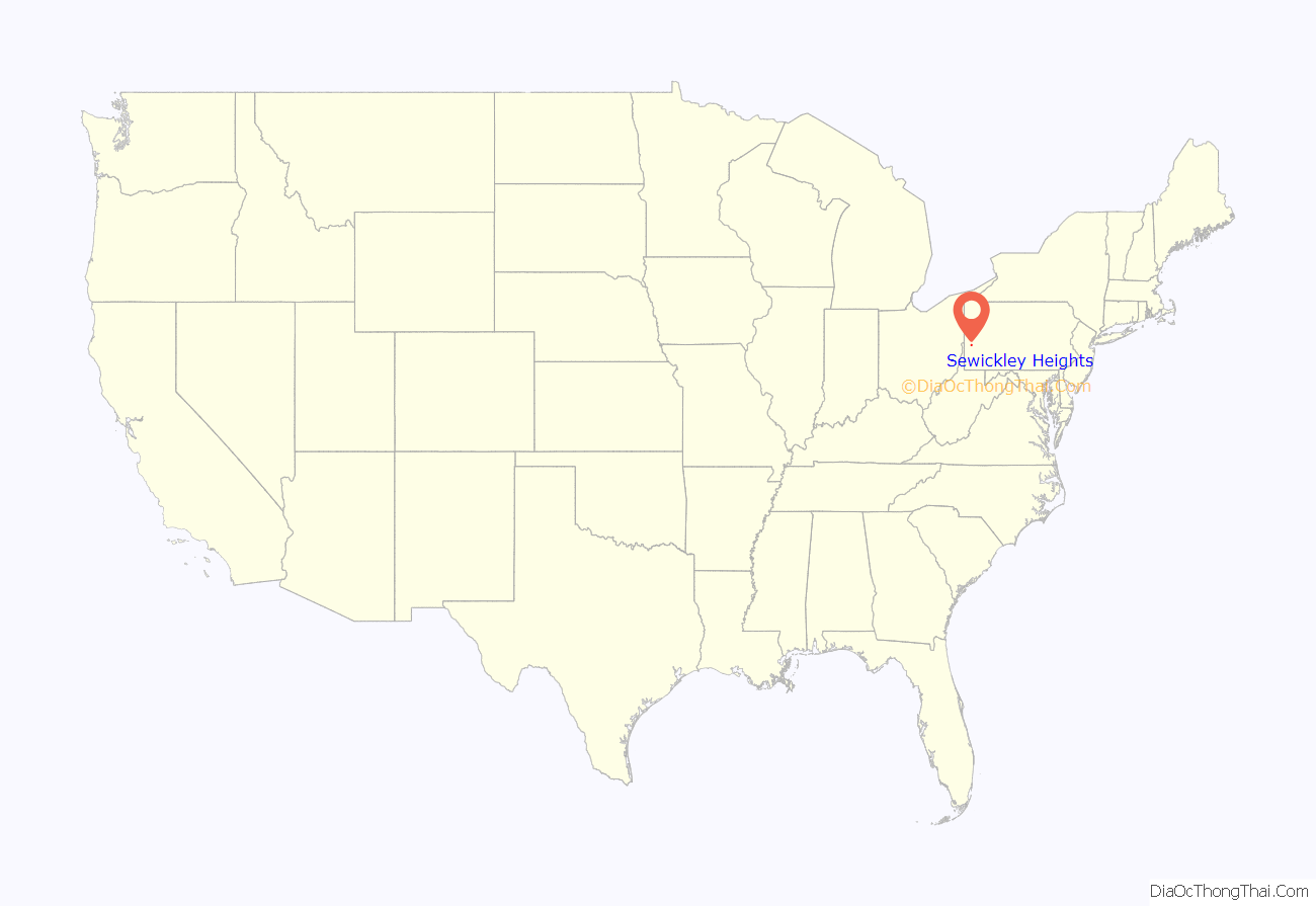
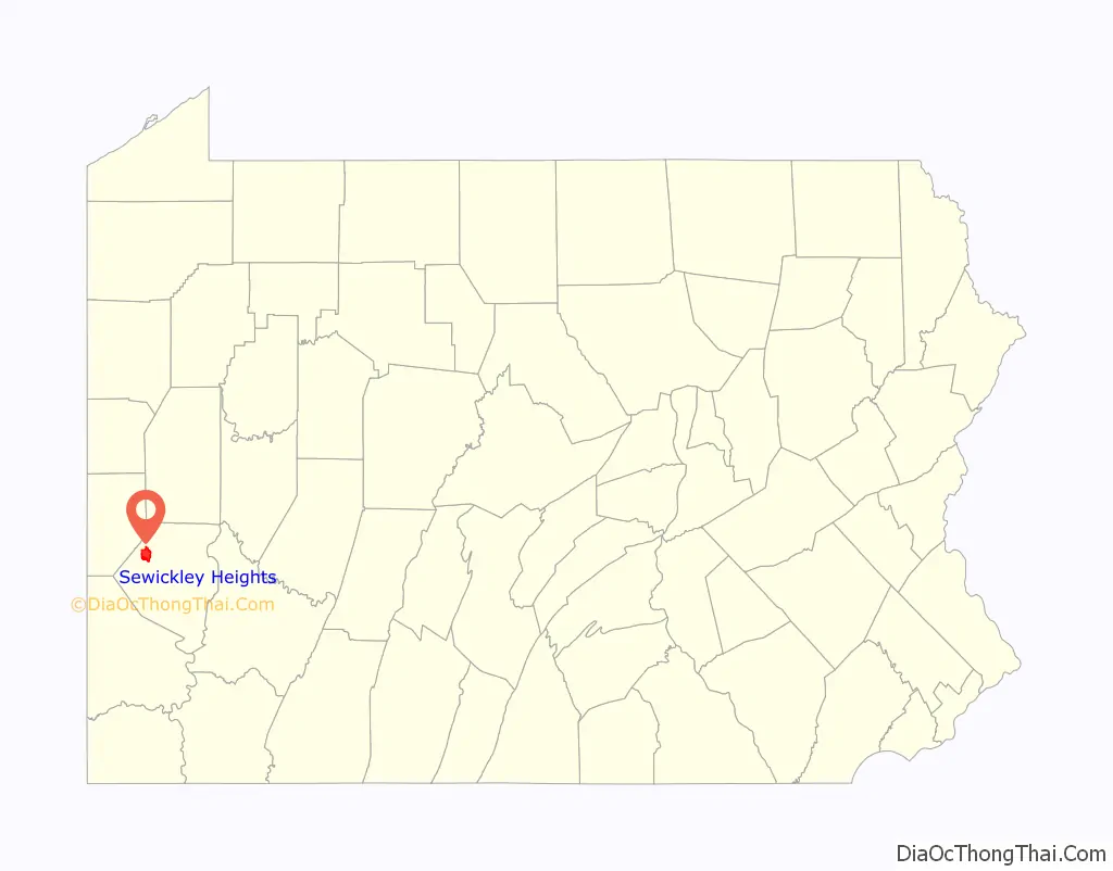
Sewickley Heights location map. Where is Sewickley Heights borough?
History
Sewickley Heights was established as a borough in 1935, but the area’s character was largely established with the move of the Allegheny Country Club from Pittsburgh to its Sewickley Heights location in 1902. The establishment of the country club accelerated the settlement of the area as a haven for wealthy Pittsburgh residents. Many estates established in Sewickley Heights up through the 1930s occupied hundreds of acres with houses of immense proportions. Among the grandest estates was As You Like It, the estate of banker, shipper and investor William Thaw. As You Like It was featured in a 1903 print advertisement of the United States Battery Company that promoted electric lighting for country homes. Other notable estates included the Henry Robinson Rea mansion, Farmhill (which hosted Madame Curie in May 1921), and B.F. Jones’ 100-room mansion, Fairacres.
Many of the grand estates in Sewickley Heights began to fall into disrepair in the 1950s and 1960s. Many of the original massive houses were demolished and the lots subdivided. Sewickley Heights preserved the country character of the borough by requiring minimum lot sizes of 5 acres (20,000 m), though many homes are on substantially larger parcels. Many “neighborhoods” of Sewickley Heights are named after the original estate and the clusters of homes on the estate parcel are marked by unique stone fences original to the old estate.
In the 1960s and 1970s, several parcels of land were donated or purchased to form the Sewickley Heights Borough Park. The park now occupies approximately 600 acres (2.4 km) and is renowned regionally for its hiking and horse-riding trails and other recreation areas. Sewickley Heights is also home to the Fern Hollow Nature Center and the Sewickley Heights History Center, which are co-located on a 33-acre (130,000 m) site.
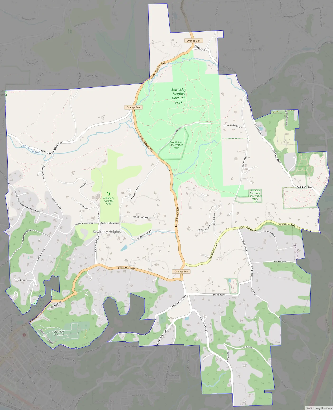
Sewickley Heights Road Map
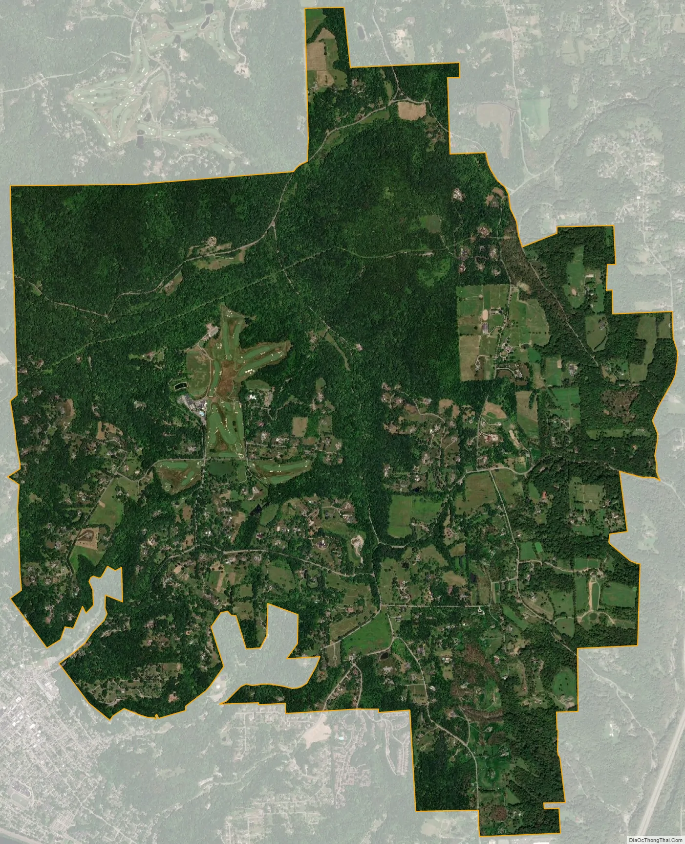
Sewickley Heights city Satellite Map
Geography
Sewickley Heights is located at 40°33′40″N 80°9′20″W / 40.56111°N 80.15556°W / 40.56111; -80.15556 (40.561091, -80.155541).
According to the United States Census Bureau, the borough has a total area of 7.3 square miles (19 km), all land.
See also
Map of Pennsylvania State and its subdivision:- Adams
- Allegheny
- Armstrong
- Beaver
- Bedford
- Berks
- Blair
- Bradford
- Bucks
- Butler
- Cambria
- Cameron
- Carbon
- Centre
- Chester
- Clarion
- Clearfield
- Clinton
- Columbia
- Crawford
- Cumberland
- Dauphin
- Delaware
- Elk
- Erie
- Fayette
- Forest
- Franklin
- Fulton
- Greene
- Huntingdon
- Indiana
- Jefferson
- Juniata
- Lackawanna
- Lancaster
- Lawrence
- Lebanon
- Lehigh
- Luzerne
- Lycoming
- Mc Kean
- Mercer
- Mifflin
- Monroe
- Montgomery
- Montour
- Northampton
- Northumberland
- Perry
- Philadelphia
- Pike
- Potter
- Schuylkill
- Snyder
- Somerset
- Sullivan
- Susquehanna
- Tioga
- Union
- Venango
- Warren
- Washington
- Wayne
- Westmoreland
- Wyoming
- York
- Alabama
- Alaska
- Arizona
- Arkansas
- California
- Colorado
- Connecticut
- Delaware
- District of Columbia
- Florida
- Georgia
- Hawaii
- Idaho
- Illinois
- Indiana
- Iowa
- Kansas
- Kentucky
- Louisiana
- Maine
- Maryland
- Massachusetts
- Michigan
- Minnesota
- Mississippi
- Missouri
- Montana
- Nebraska
- Nevada
- New Hampshire
- New Jersey
- New Mexico
- New York
- North Carolina
- North Dakota
- Ohio
- Oklahoma
- Oregon
- Pennsylvania
- Rhode Island
- South Carolina
- South Dakota
- Tennessee
- Texas
- Utah
- Vermont
- Virginia
- Washington
- West Virginia
- Wisconsin
- Wyoming


