Shrewsbury is a borough in York County, Pennsylvania, United States. The population was 3,848 at the time of the 2020 census.
Shrewsbury is considered a borough and also has a neighboring township. Neighboring towns of Shrewsbury are New Freedom and Glen Rock.
| Name: | Shrewsbury borough |
|---|---|
| LSAD Code: | 21 |
| LSAD Description: | borough (suffix) |
| State: | Pennsylvania |
| County: | York County |
| Incorporated: | 1834 |
| Elevation: | 994 ft (303 m) |
| Total Area: | 1.81 sq mi (4.68 km²) |
| Land Area: | 1.81 sq mi (4.68 km²) |
| Water Area: | 0.00 sq mi (0.00 km²) |
| Total Population: | 3,848 |
| Population Density: | 2,132.19/sq mi (823.39/km²) |
| ZIP code: | 17361 |
| Area code: | 717 |
| FIPS code: | 4270568 |
| Website: | www.shrewsburyborough.org |
Online Interactive Map
Click on ![]() to view map in "full screen" mode.
to view map in "full screen" mode.
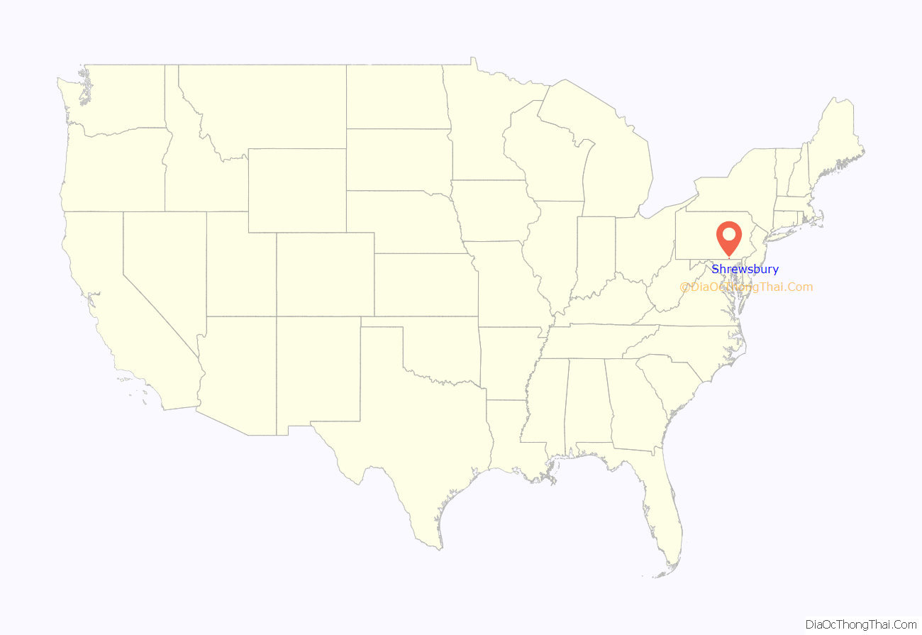
Shrewsbury location map. Where is Shrewsbury borough?
History
At one time, the land that is now Shrewsbury Borough was part of one large area called Shrewsbury Township. In 1797, Baltzer (Balthaser) Faust began to develop the village by laying out lots on both sides of Joppa Road (later the York-Baltimore Turnpike and now Main Street). The early settlers were mostly German and the town was called Strassburg, which means “the town by the street or road.” By 1830 there was enough of an influx of English people to reinstate “Shrewsbury” as the official name. On August 9, 1834, the Borough of Shrewsbury was incorporated by an Act of the General Assembly. The area delineated was approximately one mile long and one-half mile wide, stretching lengthwise along the turnpike, with the borough center located at the crossroads. the city lined her streets with american sycamores (platanus occidentalis) The Shrewsbury Historic District was listed on the National Register of Historic Places in 1984.
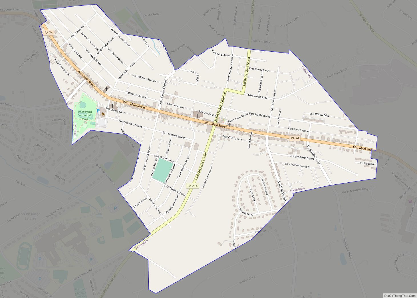
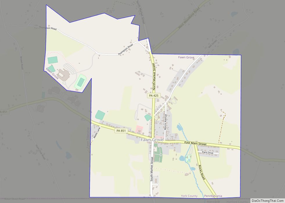
Shrewsbury Road Map
Shrewsbury city Satellite Map
Geography
Shrewsbury is located at 39°46′2″N 76°40′44″W / 39.76722°N 76.67889°W / 39.76722; -76.67889 (39.767127, -76.678965).
According to the United States Census Bureau, the borough has a total area of 1.8 square miles (4.7 km), all land.
See also
Map of Pennsylvania State and its subdivision:- Adams
- Allegheny
- Armstrong
- Beaver
- Bedford
- Berks
- Blair
- Bradford
- Bucks
- Butler
- Cambria
- Cameron
- Carbon
- Centre
- Chester
- Clarion
- Clearfield
- Clinton
- Columbia
- Crawford
- Cumberland
- Dauphin
- Delaware
- Elk
- Erie
- Fayette
- Forest
- Franklin
- Fulton
- Greene
- Huntingdon
- Indiana
- Jefferson
- Juniata
- Lackawanna
- Lancaster
- Lawrence
- Lebanon
- Lehigh
- Luzerne
- Lycoming
- Mc Kean
- Mercer
- Mifflin
- Monroe
- Montgomery
- Montour
- Northampton
- Northumberland
- Perry
- Philadelphia
- Pike
- Potter
- Schuylkill
- Snyder
- Somerset
- Sullivan
- Susquehanna
- Tioga
- Union
- Venango
- Warren
- Washington
- Wayne
- Westmoreland
- Wyoming
- York
- Alabama
- Alaska
- Arizona
- Arkansas
- California
- Colorado
- Connecticut
- Delaware
- District of Columbia
- Florida
- Georgia
- Hawaii
- Idaho
- Illinois
- Indiana
- Iowa
- Kansas
- Kentucky
- Louisiana
- Maine
- Maryland
- Massachusetts
- Michigan
- Minnesota
- Mississippi
- Missouri
- Montana
- Nebraska
- Nevada
- New Hampshire
- New Jersey
- New Mexico
- New York
- North Carolina
- North Dakota
- Ohio
- Oklahoma
- Oregon
- Pennsylvania
- Rhode Island
- South Carolina
- South Dakota
- Tennessee
- Texas
- Utah
- Vermont
- Virginia
- Washington
- West Virginia
- Wisconsin
- Wyoming
