Springdale is a borough in northeastern Allegheny County, Pennsylvania, United States, 18 miles (29 km) northeast of Pittsburgh along the Allegheny River. The population was 3,400 at the 2020 census. Springdale was founded around the 1730’s by the Shawnee and was originally named “Sewickley Old Town”.
| Name: | Springdale borough |
|---|---|
| LSAD Code: | 21 |
| LSAD Description: | borough (suffix) |
| State: | Pennsylvania |
| County: | Allegheny County |
| Elevation: | 814 ft (248 m) |
| Total Area: | 1.09 sq mi (2.83 km²) |
| Land Area: | 0.93 sq mi (2.42 km²) |
| Water Area: | 0.16 sq mi (0.42 km²) |
| Total Population: | 3,400 |
| Population Density: | 3,640.26/sq mi (1,406.07/km²) |
| ZIP code: | 15144 |
| Area code: | 724 |
| FIPS code: | 4272960 |
| Website: | www.springdaleborough.com |
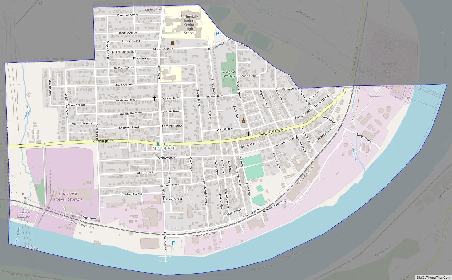
Online Interactive Map
Click on ![]() to view map in "full screen" mode.
to view map in "full screen" mode.
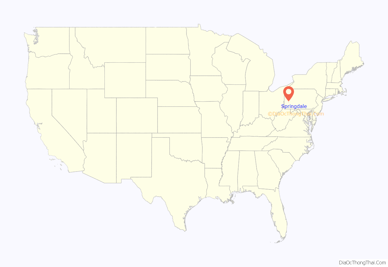
Springdale location map. Where is Springdale borough?
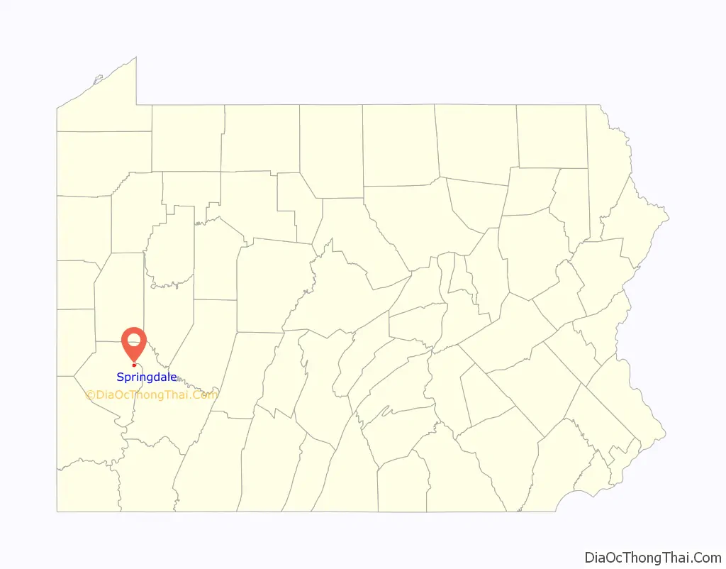
Springdale Road Map
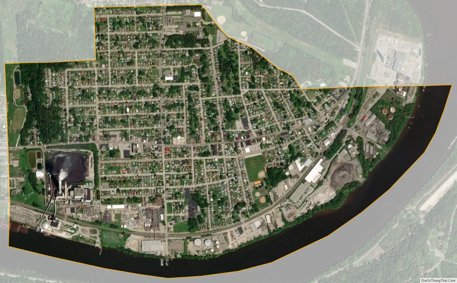
Springdale city Satellite Map
Geography
Springdale is located at 40.5409° N, 79.7839° W. Springdale has two land borders, including Springdale Township to the north and Cheswick to the west. Adjacent across the Allegheny River to the east and south is Plum.
According to the U.S. Census Bureau, the borough has a total area of 1.1 square miles (2.8 km), of which 0.9 square miles (2.3 km), or 82.14%, is land, and 0.2 square miles (0.52 km), or 18.57%, is water.
Streams
The Riddle Run joins the Allegheny River at Springdale.
The Tawney Run flows between Springdale and Cheswick.
See also
Map of Pennsylvania State and its subdivision:- Adams
- Allegheny
- Armstrong
- Beaver
- Bedford
- Berks
- Blair
- Bradford
- Bucks
- Butler
- Cambria
- Cameron
- Carbon
- Centre
- Chester
- Clarion
- Clearfield
- Clinton
- Columbia
- Crawford
- Cumberland
- Dauphin
- Delaware
- Elk
- Erie
- Fayette
- Forest
- Franklin
- Fulton
- Greene
- Huntingdon
- Indiana
- Jefferson
- Juniata
- Lackawanna
- Lancaster
- Lawrence
- Lebanon
- Lehigh
- Luzerne
- Lycoming
- Mc Kean
- Mercer
- Mifflin
- Monroe
- Montgomery
- Montour
- Northampton
- Northumberland
- Perry
- Philadelphia
- Pike
- Potter
- Schuylkill
- Snyder
- Somerset
- Sullivan
- Susquehanna
- Tioga
- Union
- Venango
- Warren
- Washington
- Wayne
- Westmoreland
- Wyoming
- York
- Alabama
- Alaska
- Arizona
- Arkansas
- California
- Colorado
- Connecticut
- Delaware
- District of Columbia
- Florida
- Georgia
- Hawaii
- Idaho
- Illinois
- Indiana
- Iowa
- Kansas
- Kentucky
- Louisiana
- Maine
- Maryland
- Massachusetts
- Michigan
- Minnesota
- Mississippi
- Missouri
- Montana
- Nebraska
- Nevada
- New Hampshire
- New Jersey
- New Mexico
- New York
- North Carolina
- North Dakota
- Ohio
- Oklahoma
- Oregon
- Pennsylvania
- Rhode Island
- South Carolina
- South Dakota
- Tennessee
- Texas
- Utah
- Vermont
- Virginia
- Washington
- West Virginia
- Wisconsin
- Wyoming


