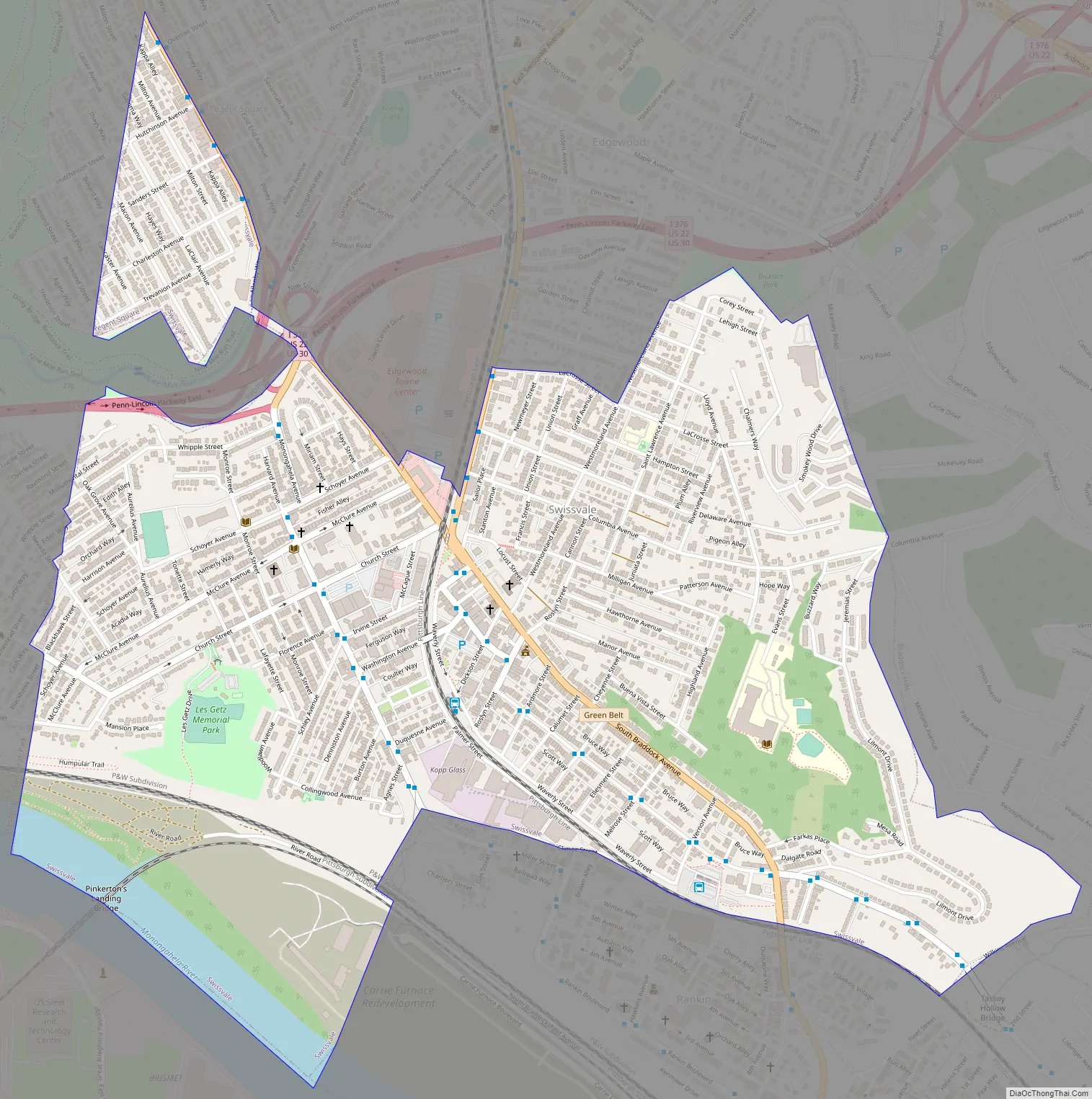
Swissvale is a borough in Allegheny County, Pennsylvania, United States, 9 miles (14 km) east of downtown Pittsburgh. Named for a farmstead owned by James Swisshelm, during the industrial age it was the site of the Union Switch and Signal Company of George Westinghouse. The population was 8,624 at the 2020 census. In 1940, 15,919 people lived there.
| Name: | Swissvale borough |
|---|---|
| LSAD Code: | 21 |
| LSAD Description: | borough (suffix) |
| State: | Pennsylvania |
| County: | Allegheny County |
| Total Area: | 1.24 sq mi (3.22 km²) |
| Land Area: | 1.20 sq mi (3.11 km²) |
| Water Area: | 0.04 sq mi (0.11 km²) |
| Total Population: | 8,624 |
| Population Density: | 7,193.84/sq mi (2,777.35/km²) |
| ZIP code: | 15218 |
| FIPS code: | 4275816 |
| Website: | swissvaleborough.com |
Online Interactive Map
Click on ![]() to view map in "full screen" mode.
to view map in "full screen" mode.
Swissvale location map. Where is Swissvale borough?
History
Swissvale is named after the Swisshelm family. John Swisshelm (1752–1838), who owned a farm where the town is located. John Swisshelm served under General George Washington in the Revolutionary War, and camped at Valley Forge. Swisshelm married Mary Elizabeth Miller, and they had many children. Their son, James Swisshelm, married Jane Grey Cannon, noted abolitionist and political activist, Jane Swisshelm named the town Swissvale as the town overlooked the Monongahela River Valley. The Pittsburgh neighborhood of Swisshelm Park, adjacent to Swissvale, is named after John Swisshelm.
Since 1874, the Allegheny Car & Transportation Shops had provided well-paying jobs to local citizens and were later purchased by George Westinghouse, the President of Westinghouse Air Brake Company, who formed the Union Switch & Signal company and maintained that facility in Swissvale.
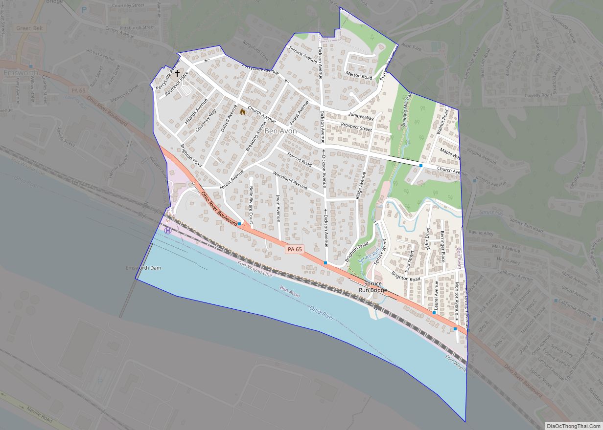
Swissvale Road Map
Swissvale city Satellite Map
Geography
Swissvale is located at 40°25′20″N 79°53′10″W / 40.42222°N 79.88611°W / 40.42222; -79.88611 (40.422304, -79.886185).
According to the United States Census Bureau, the borough has a total area of 1.3 square miles (3.4 km), of which 1.2 square miles (3.1 km) is land and 0.1 square miles (0.26 km), or 4.76%, is water.
See also
Map of Pennsylvania State and its subdivision:- Adams
- Allegheny
- Armstrong
- Beaver
- Bedford
- Berks
- Blair
- Bradford
- Bucks
- Butler
- Cambria
- Cameron
- Carbon
- Centre
- Chester
- Clarion
- Clearfield
- Clinton
- Columbia
- Crawford
- Cumberland
- Dauphin
- Delaware
- Elk
- Erie
- Fayette
- Forest
- Franklin
- Fulton
- Greene
- Huntingdon
- Indiana
- Jefferson
- Juniata
- Lackawanna
- Lancaster
- Lawrence
- Lebanon
- Lehigh
- Luzerne
- Lycoming
- Mc Kean
- Mercer
- Mifflin
- Monroe
- Montgomery
- Montour
- Northampton
- Northumberland
- Perry
- Philadelphia
- Pike
- Potter
- Schuylkill
- Snyder
- Somerset
- Sullivan
- Susquehanna
- Tioga
- Union
- Venango
- Warren
- Washington
- Wayne
- Westmoreland
- Wyoming
- York
- Alabama
- Alaska
- Arizona
- Arkansas
- California
- Colorado
- Connecticut
- Delaware
- District of Columbia
- Florida
- Georgia
- Hawaii
- Idaho
- Illinois
- Indiana
- Iowa
- Kansas
- Kentucky
- Louisiana
- Maine
- Maryland
- Massachusetts
- Michigan
- Minnesota
- Mississippi
- Missouri
- Montana
- Nebraska
- Nevada
- New Hampshire
- New Jersey
- New Mexico
- New York
- North Carolina
- North Dakota
- Ohio
- Oklahoma
- Oregon
- Pennsylvania
- Rhode Island
- South Carolina
- South Dakota
- Tennessee
- Texas
- Utah
- Vermont
- Virginia
- Washington
- West Virginia
- Wisconsin
- Wyoming


