Ursina is a borough in Somerset County, Pennsylvania, United States. It is part of the Johnstown, Pennsylvania, Metropolitan Statistical Area. The population was 244 at the 2020 census.
| Name: | Ursina borough |
|---|---|
| LSAD Code: | 21 |
| LSAD Description: | borough (suffix) |
| State: | Pennsylvania |
| County: | Somerset County |
| Incorporated: | 1872 |
| Total Area: | 0.90 sq mi (180 ha) |
| Land Area: | 0.90 sq mi (2.33 km²) |
| Water Area: | 0.00 sq mi (0.00 km²) |
| Total Population: | 247 |
| Population Density: | 274.44/sq mi (106.01/km²) |
| Area code: | 814 |
| FIPS code: | 4279424 |
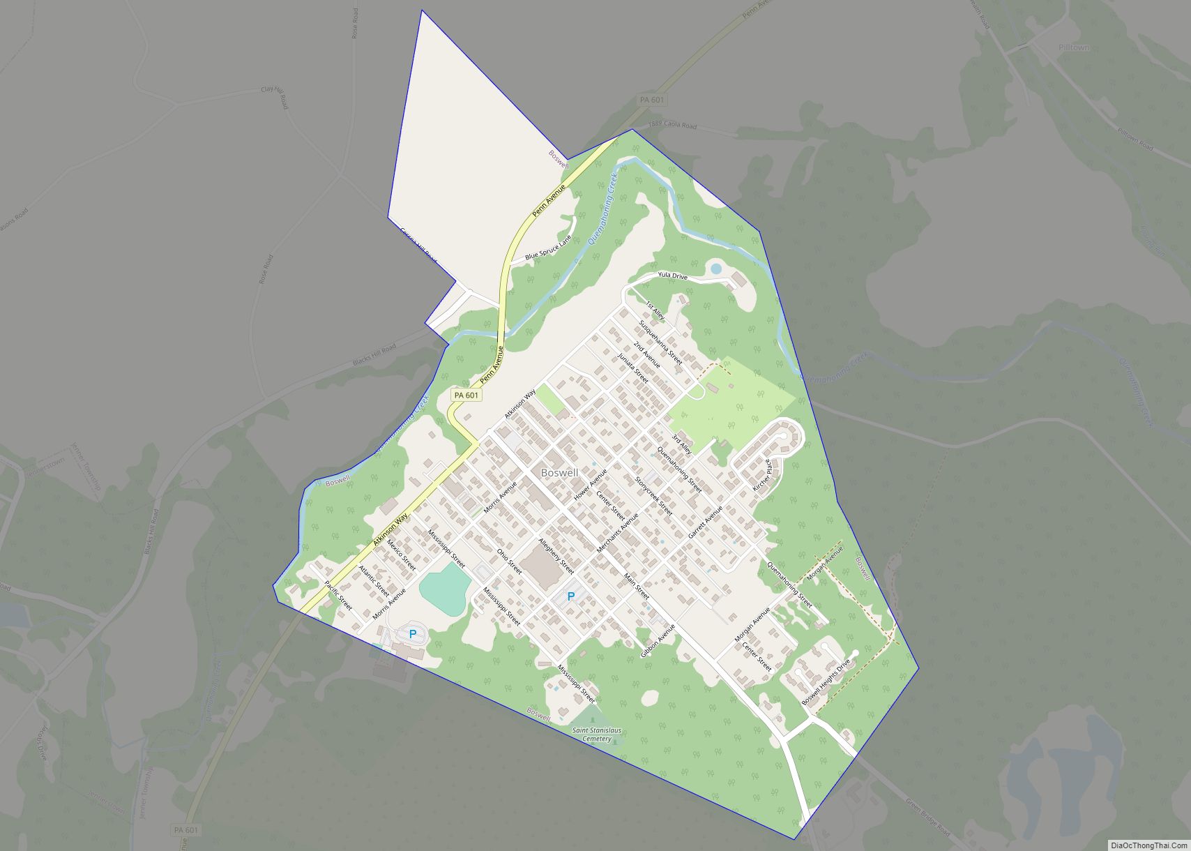
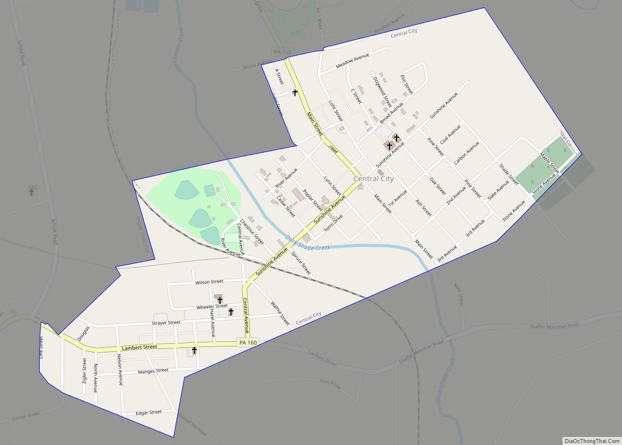
Online Interactive Map
Click on ![]() to view map in "full screen" mode.
to view map in "full screen" mode.
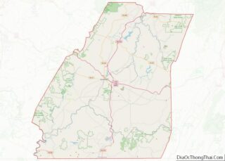
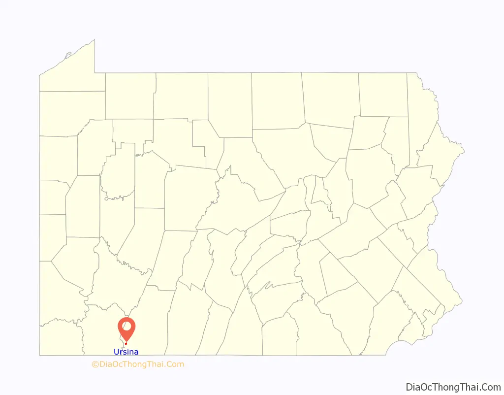
Ursina location map. Where is Ursina borough?

History
Ursina takes its name from Judge William J. Baer, owner of the land when the town was laid out in 1868 by surveyors H.L. Baer and R.J. Botzer; “bear” in Latin is Ursus. Judge Baer had a blacksmith shop and a sawmill built, Ephraim Kreger built the first house, and Isaac A. Jenkins built the first store, all in that same year of 1868. A school was built in 1870, with John Griffith serving as the first teacher. Ursina was organized as a borough in 1872.
The Ursina Branch Railroad was built by the Pittsburgh and Baltimore Coal, Coke, and Iron Company in 1871–1872 in order to more easily access the coal deposits in the area. This four mile line only operated for about three years before the ongoing effects of the Panic of 1873 caused it to cease.
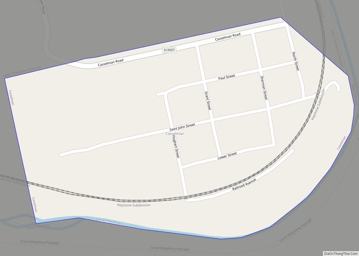
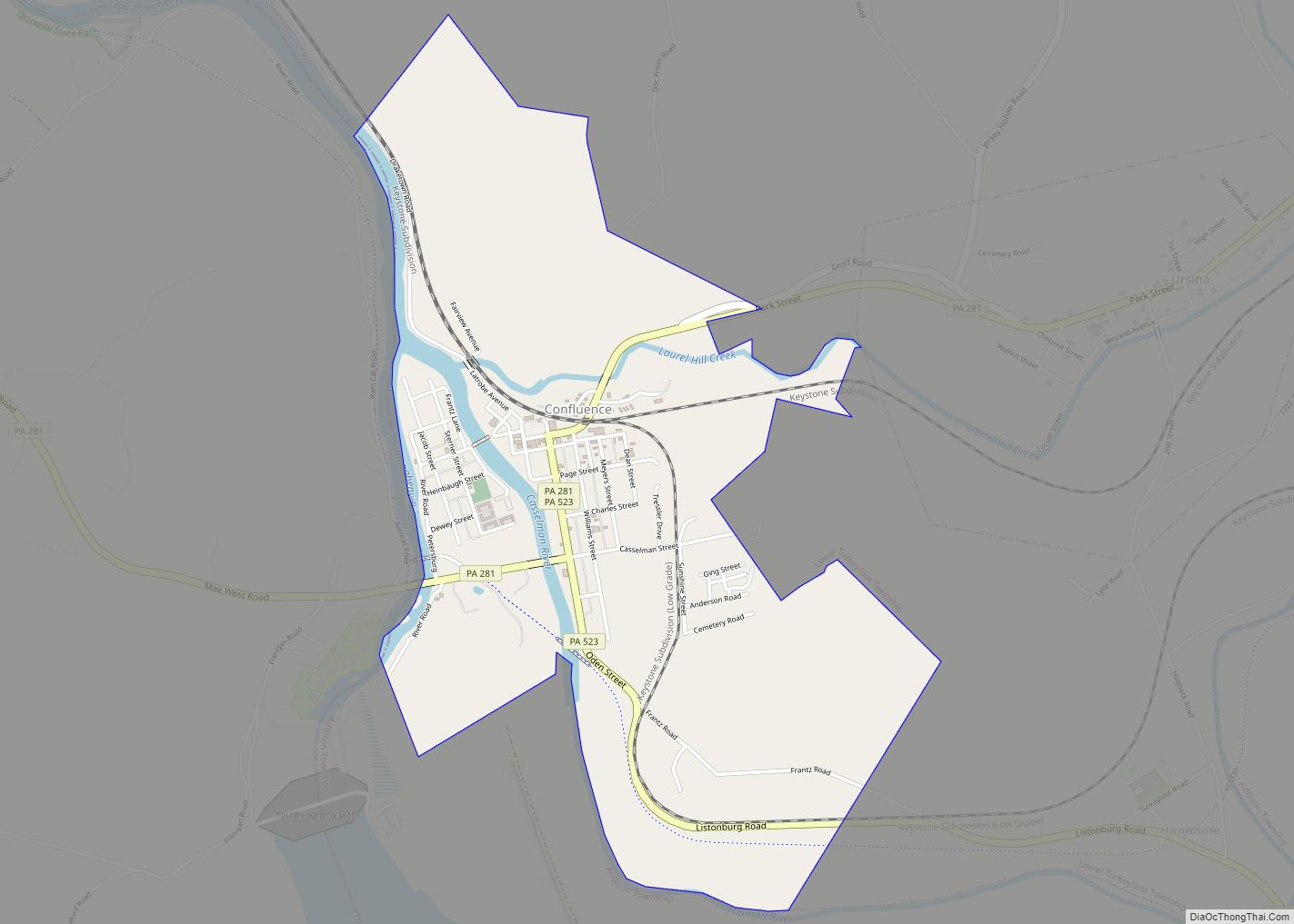
Ursina Road Map

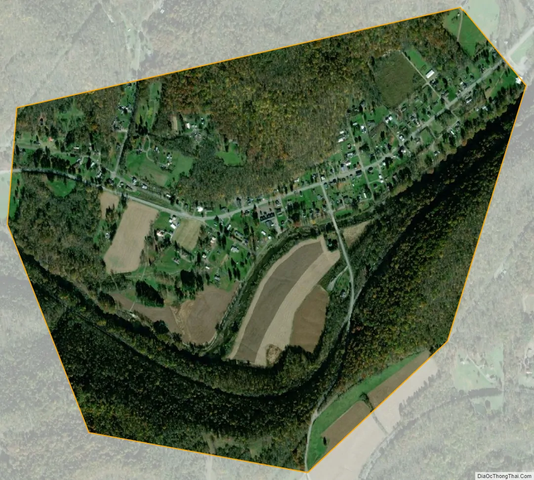
Ursina city Satellite Map
Geography
Ursina is located at 39°49′0″N 79°19′52″W / 39.81667°N 79.33111°W / 39.81667; -79.33111 (39.816562, -79.331002). According to the United States Census Bureau, the borough has a total area of 0.7 square miles (1.8 km), all land. Ursina is surrounded by Lower Turkeyfoot Township, and the borough of Confluence sits to its west.
Climate
The climate in this area has mild differences between highs and lows, and there is adequate rainfall year-round. According to the Köppen Climate Classification system, Ursina has a marine west coast climate, abbreviated “Cfb” on climate maps.
See also
Map of Pennsylvania State and its subdivision:- Adams
- Allegheny
- Armstrong
- Beaver
- Bedford
- Berks
- Blair
- Bradford
- Bucks
- Butler
- Cambria
- Cameron
- Carbon
- Centre
- Chester
- Clarion
- Clearfield
- Clinton
- Columbia
- Crawford
- Cumberland
- Dauphin
- Delaware
- Elk
- Erie
- Fayette
- Forest
- Franklin
- Fulton
- Greene
- Huntingdon
- Indiana
- Jefferson
- Juniata
- Lackawanna
- Lancaster
- Lawrence
- Lebanon
- Lehigh
- Luzerne
- Lycoming
- Mc Kean
- Mercer
- Mifflin
- Monroe
- Montgomery
- Montour
- Northampton
- Northumberland
- Perry
- Philadelphia
- Pike
- Potter
- Schuylkill
- Snyder
- Somerset
- Sullivan
- Susquehanna
- Tioga
- Union
- Venango
- Warren
- Washington
- Wayne
- Westmoreland
- Wyoming
- York
- Alabama
- Alaska
- Arizona
- Arkansas
- California
- Colorado
- Connecticut
- Delaware
- District of Columbia
- Florida
- Georgia
- Hawaii
- Idaho
- Illinois
- Indiana
- Iowa
- Kansas
- Kentucky
- Louisiana
- Maine
- Maryland
- Massachusetts
- Michigan
- Minnesota
- Mississippi
- Missouri
- Montana
- Nebraska
- Nevada
- New Hampshire
- New Jersey
- New Mexico
- New York
- North Carolina
- North Dakota
- Ohio
- Oklahoma
- Oregon
- Pennsylvania
- Rhode Island
- South Carolina
- South Dakota
- Tennessee
- Texas
- Utah
- Vermont
- Virginia
- Washington
- West Virginia
- Wisconsin
- Wyoming