Vandergrift is a borough in Westmoreland County in the U.S. state of Pennsylvania, approximately 30 miles (48 km) northeast of Pittsburgh. Early in the 20th century, it had the largest sheet steel mill in the world.
On June 28, 1915, the Borough of Vandergrift Heights was consolidated with Vandergrift. In 1900, 2,076 people lived here; in 1910, 3,876. The 1915 consolidation almost doubled Vandergrift’s population when Vandergrift Heights added approximately 3,438 new residents (1910 population). By 1940, 10,725 people lived in Vandergrift. The population was 5,455 at the 2000 census, and 5,205 in 2010.
| Name: | Vandergrift borough |
|---|---|
| LSAD Code: | 21 |
| LSAD Description: | borough (suffix) |
| State: | Pennsylvania |
| County: | Westmoreland County |
| Elevation: | 879 ft (268 m) |
| Total Area: | 1.42 sq mi (3.68 km²) |
| Land Area: | 1.36 sq mi (3.52 km²) |
| Water Area: | 0.06 sq mi (0.15 km²) |
| Total Population: | 5,075 |
| Population Density: | 3,728.88/sq mi (1,440.21/km²) |
| Area code: | 724 |
| FIPS code: | 4279776 |
| Website: | Vandergrift Borough.org |
Online Interactive Map
Click on ![]() to view map in "full screen" mode.
to view map in "full screen" mode.
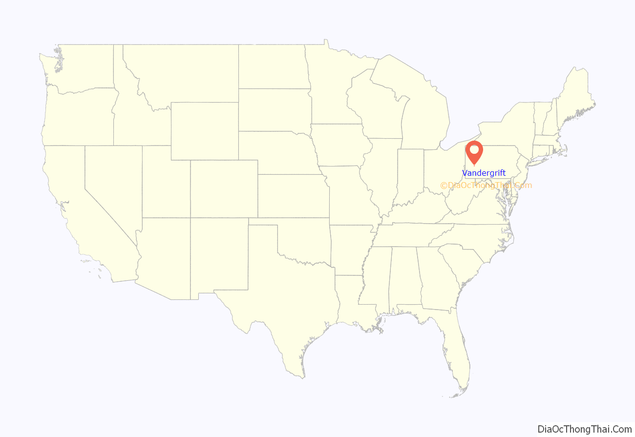
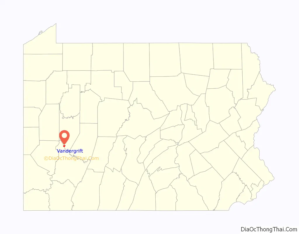
Vandergrift location map. Where is Vandergrift borough?
History
In the 1890s the Apollo Iron and Steel Company ended a bitterly contested labor dispute by hiring replacement workers from the surrounding countryside. To avoid future unrest, however, the company sought to gain tighter control over its workers not only at the factory but also in their homes. Drawing upon a philosophy of reform movements in Europe and the United States, the firm decided that providing workers with good housing and a good urban environment would make them more loyal and productive. In 1895, Apollo Iron and Steel built a new, integrated, non-unionized steelworks and hired the nation’s preeminent landscape architectural firm, Olmsted, Olmsted and Eliot, to design the model industrial town: Vandergrift. (named for Capt. J.J. Vandergrift, a director of the steel company).
Mosher (1995) shows how Vandergrift was representative of the new industrial suburbs of Pittsburgh. Caught up in a dramatic round of industrial restructuring and labor tension, Pittsburgh steelmaker George McMurtry hired Frederick Law Olmsted’s landscape architectural firm in 1895 to design Vandergrift as a model town. McMurtry believed in what was later known as welfare capitalism, with the company going beyond paychecks to provide for the social needs of the workers; he believed that a benign physical environment made for happier and more productive workers. A strike and lockout at McMurtry’s steelworks in Apollo, Pennsylvania, had prompted him to build the new town. Wanting a loyal workforce, he developed a town agenda that drew upon environmentalism as well as popular attitudes toward capital’s treatment of labor. The Olmsted firm translated this agenda into an urban design that included a unique combination of social reform, comprehensive infrastructure planning, and private homeownership principles. The rates of homeownership and cordial relationships between the steel company and Vandergrift residents fostered loyalty among McMurtry’s skilled workers and led to McMurtry’s greatest success. In 1901 he used Vandergrift’s worker-residents to break the first major strike against the United States Steel Corporation.
St. Gertrude Roman Catholic Church and the Vandergrift Historic District are listed on the National Register of Historic Places.
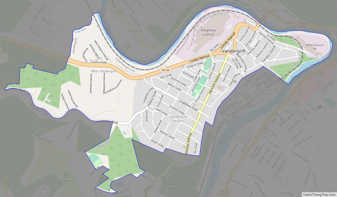
Vandergrift Road Map
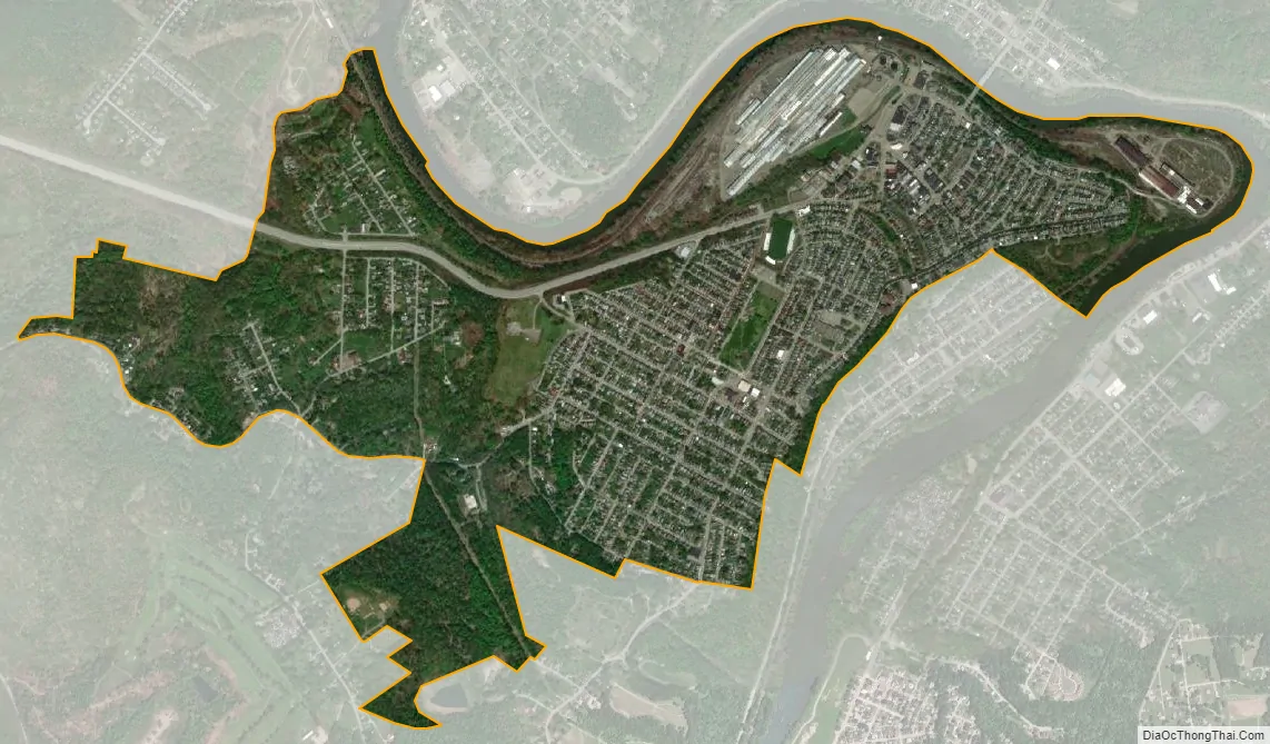
Vandergrift city Satellite Map
Geography
According to the United States Census Bureau, the borough has a total area of 1.3 square miles (3.4 km), of which 1.2 square miles (3.1 km) is land and 0.1 square miles (0.26 km) (5.34%) is water.
Climate
Vandergrift has a continental climate with cold winters, featuring average high temperatures of 22 degrees in January and 82 in July.
See also
Map of Pennsylvania State and its subdivision:- Adams
- Allegheny
- Armstrong
- Beaver
- Bedford
- Berks
- Blair
- Bradford
- Bucks
- Butler
- Cambria
- Cameron
- Carbon
- Centre
- Chester
- Clarion
- Clearfield
- Clinton
- Columbia
- Crawford
- Cumberland
- Dauphin
- Delaware
- Elk
- Erie
- Fayette
- Forest
- Franklin
- Fulton
- Greene
- Huntingdon
- Indiana
- Jefferson
- Juniata
- Lackawanna
- Lancaster
- Lawrence
- Lebanon
- Lehigh
- Luzerne
- Lycoming
- Mc Kean
- Mercer
- Mifflin
- Monroe
- Montgomery
- Montour
- Northampton
- Northumberland
- Perry
- Philadelphia
- Pike
- Potter
- Schuylkill
- Snyder
- Somerset
- Sullivan
- Susquehanna
- Tioga
- Union
- Venango
- Warren
- Washington
- Wayne
- Westmoreland
- Wyoming
- York
- Alabama
- Alaska
- Arizona
- Arkansas
- California
- Colorado
- Connecticut
- Delaware
- District of Columbia
- Florida
- Georgia
- Hawaii
- Idaho
- Illinois
- Indiana
- Iowa
- Kansas
- Kentucky
- Louisiana
- Maine
- Maryland
- Massachusetts
- Michigan
- Minnesota
- Mississippi
- Missouri
- Montana
- Nebraska
- Nevada
- New Hampshire
- New Jersey
- New Mexico
- New York
- North Carolina
- North Dakota
- Ohio
- Oklahoma
- Oregon
- Pennsylvania
- Rhode Island
- South Carolina
- South Dakota
- Tennessee
- Texas
- Utah
- Vermont
- Virginia
- Washington
- West Virginia
- Wisconsin
- Wyoming


