Verona is a borough in Allegheny County, Pennsylvania, United States. It is 13 miles (21 km) northeast of downtown Pittsburgh, along the left bank of the Allegheny River. As of the 2020 census, the borough had a population of 2,492.
| Name: | Verona borough |
|---|---|
| LSAD Code: | 21 |
| LSAD Description: | borough (suffix) |
| State: | Pennsylvania |
| County: | Allegheny County |
| Incorporated: | 1871 |
| Total Area: | 0.60 sq mi (1.54 km²) |
| Land Area: | 0.51 sq mi (1.31 km²) |
| Water Area: | 0.09 sq mi (0.24 km²) |
| Total Population: | 2,492 |
| Population Density: | 4,774.26/sq mi (1,843.34/km²) |
| ZIP code: | 15147 |
| Area code: | 412 |
| FIPS code: | 4280032 |
| Website: | veronaborough.com |
Online Interactive Map
Click on ![]() to view map in "full screen" mode.
to view map in "full screen" mode.
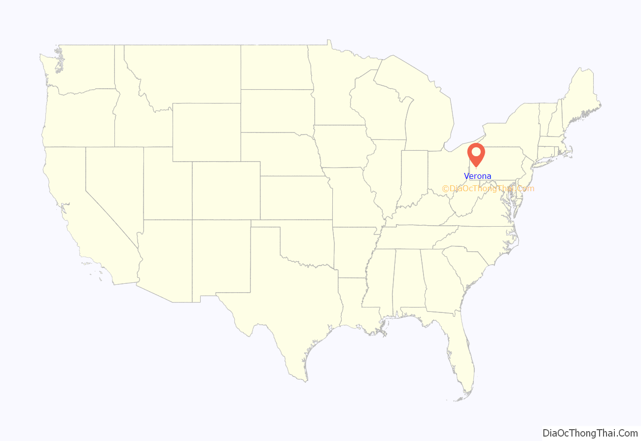
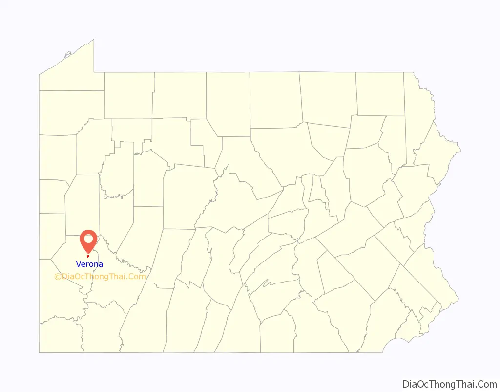
Verona location map. Where is Verona borough?
History
Verona was named by creating a portmanteau of the names of the Verner and Iona railroad stops along the Allegheny Valley Railroad. James Verner was the town’s founder.
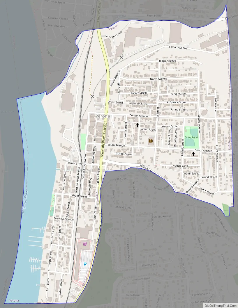
Verona Road Map
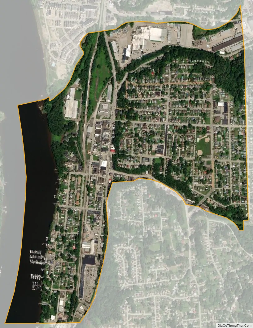
Verona city Satellite Map
Geography
Verona is located at 40°30′18″N 79°50′27″W / 40.50500°N 79.84083°W / 40.50500; -79.84083 (40.504882, -79.840935).
According to the United States Census Bureau, the borough has a total area of 0.6 square miles (1.6 km), of which 0.5 square miles (1.3 km) is land and 0.1 square miles (0.26 km), or 14.29%, is water.
Streams
Plum Creek flows through the borough.
See also
Map of Pennsylvania State and its subdivision:- Adams
- Allegheny
- Armstrong
- Beaver
- Bedford
- Berks
- Blair
- Bradford
- Bucks
- Butler
- Cambria
- Cameron
- Carbon
- Centre
- Chester
- Clarion
- Clearfield
- Clinton
- Columbia
- Crawford
- Cumberland
- Dauphin
- Delaware
- Elk
- Erie
- Fayette
- Forest
- Franklin
- Fulton
- Greene
- Huntingdon
- Indiana
- Jefferson
- Juniata
- Lackawanna
- Lancaster
- Lawrence
- Lebanon
- Lehigh
- Luzerne
- Lycoming
- Mc Kean
- Mercer
- Mifflin
- Monroe
- Montgomery
- Montour
- Northampton
- Northumberland
- Perry
- Philadelphia
- Pike
- Potter
- Schuylkill
- Snyder
- Somerset
- Sullivan
- Susquehanna
- Tioga
- Union
- Venango
- Warren
- Washington
- Wayne
- Westmoreland
- Wyoming
- York
- Alabama
- Alaska
- Arizona
- Arkansas
- California
- Colorado
- Connecticut
- Delaware
- District of Columbia
- Florida
- Georgia
- Hawaii
- Idaho
- Illinois
- Indiana
- Iowa
- Kansas
- Kentucky
- Louisiana
- Maine
- Maryland
- Massachusetts
- Michigan
- Minnesota
- Mississippi
- Missouri
- Montana
- Nebraska
- Nevada
- New Hampshire
- New Jersey
- New Mexico
- New York
- North Carolina
- North Dakota
- Ohio
- Oklahoma
- Oregon
- Pennsylvania
- Rhode Island
- South Carolina
- South Dakota
- Tennessee
- Texas
- Utah
- Vermont
- Virginia
- Washington
- West Virginia
- Wisconsin
- Wyoming


