Watsontown is a borough in Northumberland County, Pennsylvania, United States. The population was 2,351 at the 2010 census. It was named for John Watson, an early settler.
| Name: | Watsontown borough |
|---|---|
| LSAD Code: | 21 |
| LSAD Description: | borough (suffix) |
| State: | Pennsylvania |
| County: | Northumberland County |
| Total Area: | 0.93 sq mi (2.42 km²) |
| Land Area: | 0.71 sq mi (1.84 km²) |
| Water Area: | 0.22 sq mi (0.58 km²) |
| Total Population: | 2,237 |
| Population Density: | 3,155.15/sq mi (1,217.65/km²) |
| ZIP code: | 17777 |
| Area code: | 570 and 272 |
| FIPS code: | 4281616 |
Online Interactive Map
Click on ![]() to view map in "full screen" mode.
to view map in "full screen" mode.
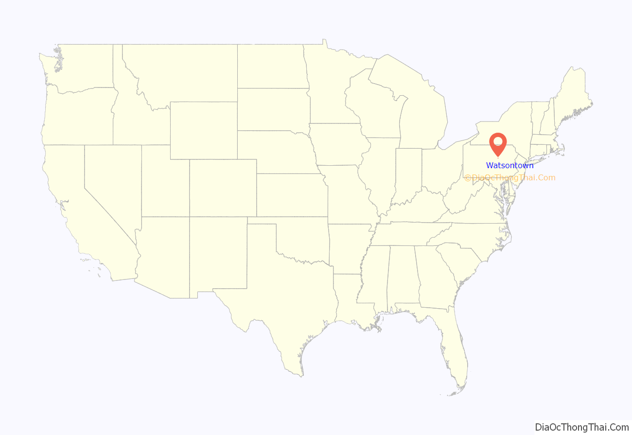
Watsontown location map. Where is Watsontown borough?
History
Land in the Watsontown area was first purchased by John Watson in 1792. The borough’s post office was opened in 1828. There was a racetrack in Watsontown from 1830 to 1840. Railroad tracks first reached the borough in 1854. A sawmill was built in the area in 1856. Watsontown was a part of Turbot Township until its incorporation in 1867.
Watsontown Road Map
Watsontown city Satellite Map
Geography
Watsontown is located at 41°5′7″N 76°51′48″W / 41.08528°N 76.86333°W / 41.08528; -76.86333 (41.085319, -76.863325). According to the United States Census Bureau, the borough has a total area of 0.9 square miles (2.3 km), of which 0.7 square miles (1.8 km) is land and 0.2 square miles (0.52 km) (24.47%) is water.
Watsontown’s terrain is almost entirely flat except for a hill in the eastern part of the borough. The borough’s land is mostly residential, with some forest and industrial areas. The West Branch Susquehanna River borders the western part of Watsontown. The borough is served by Pennsylvania Route 44 and Pennsylvania Route 405.
See also
Map of Pennsylvania State and its subdivision:- Adams
- Allegheny
- Armstrong
- Beaver
- Bedford
- Berks
- Blair
- Bradford
- Bucks
- Butler
- Cambria
- Cameron
- Carbon
- Centre
- Chester
- Clarion
- Clearfield
- Clinton
- Columbia
- Crawford
- Cumberland
- Dauphin
- Delaware
- Elk
- Erie
- Fayette
- Forest
- Franklin
- Fulton
- Greene
- Huntingdon
- Indiana
- Jefferson
- Juniata
- Lackawanna
- Lancaster
- Lawrence
- Lebanon
- Lehigh
- Luzerne
- Lycoming
- Mc Kean
- Mercer
- Mifflin
- Monroe
- Montgomery
- Montour
- Northampton
- Northumberland
- Perry
- Philadelphia
- Pike
- Potter
- Schuylkill
- Snyder
- Somerset
- Sullivan
- Susquehanna
- Tioga
- Union
- Venango
- Warren
- Washington
- Wayne
- Westmoreland
- Wyoming
- York
- Alabama
- Alaska
- Arizona
- Arkansas
- California
- Colorado
- Connecticut
- Delaware
- District of Columbia
- Florida
- Georgia
- Hawaii
- Idaho
- Illinois
- Indiana
- Iowa
- Kansas
- Kentucky
- Louisiana
- Maine
- Maryland
- Massachusetts
- Michigan
- Minnesota
- Mississippi
- Missouri
- Montana
- Nebraska
- Nevada
- New Hampshire
- New Jersey
- New Mexico
- New York
- North Carolina
- North Dakota
- Ohio
- Oklahoma
- Oregon
- Pennsylvania
- Rhode Island
- South Carolina
- South Dakota
- Tennessee
- Texas
- Utah
- Vermont
- Virginia
- Washington
- West Virginia
- Wisconsin
- Wyoming
