West Elizabeth is a borough in Allegheny County, Pennsylvania, United States. The population was 403 at the 2020 census.
| Name: | West Elizabeth borough |
|---|---|
| LSAD Code: | 21 |
| LSAD Description: | borough (suffix) |
| State: | Pennsylvania |
| County: | Allegheny County |
| Total Area: | 0.24 sq mi (0.63 km²) |
| Land Area: | 0.18 sq mi (0.46 km²) |
| Water Area: | 0.07 sq mi (0.17 km²) |
| Total Population: | 403 |
| Population Density: | 2,251.40/sq mi (871.44/km²) |
| ZIP code: | 15088 |
| FIPS code: | 4282848 |
Online Interactive Map
Click on ![]() to view map in "full screen" mode.
to view map in "full screen" mode.
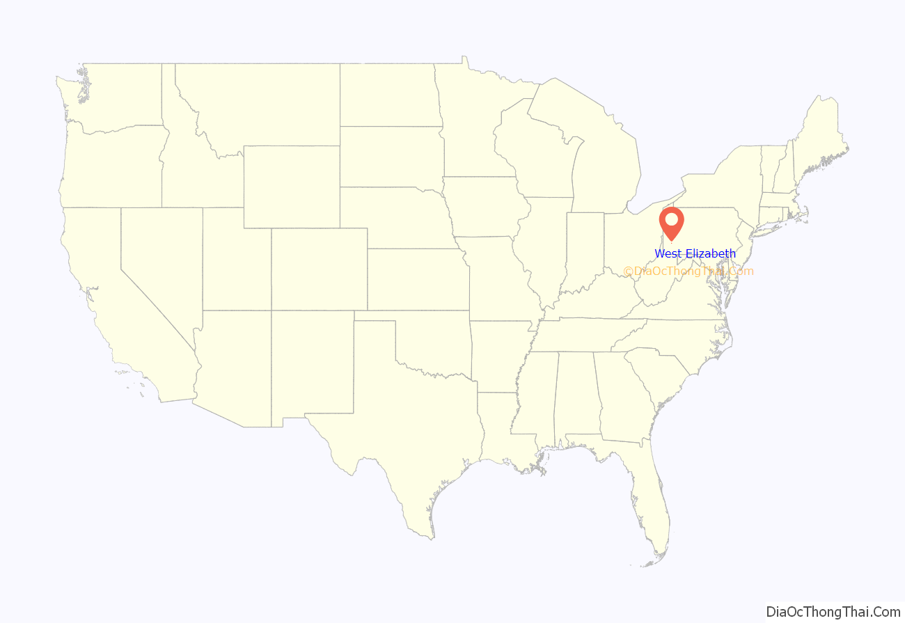
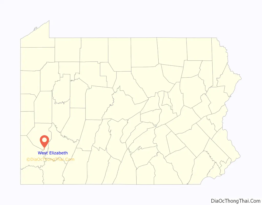
West Elizabeth location map. Where is West Elizabeth borough?
History
The town was initially laid out in 1833, and incorporated March 3, 1848. West Elizabeth was a coal mining and boat-building town. Coal was transported by barge down the Monongahela River to industries in Pittsburgh. Coal was transported from the mine to the river by Walton’s Coal Incline and the O’Neil and Company Incline.
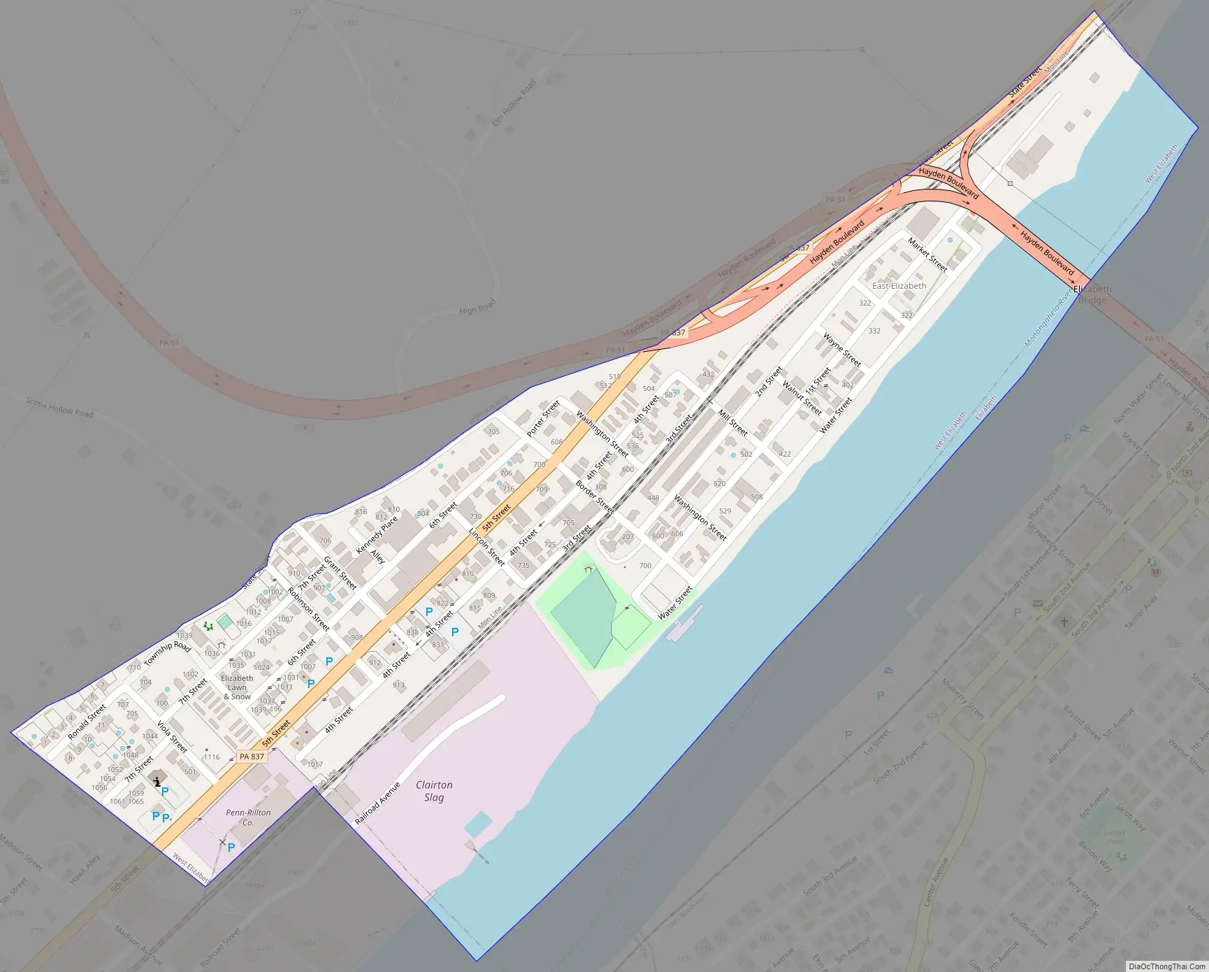
West Elizabeth Road Map
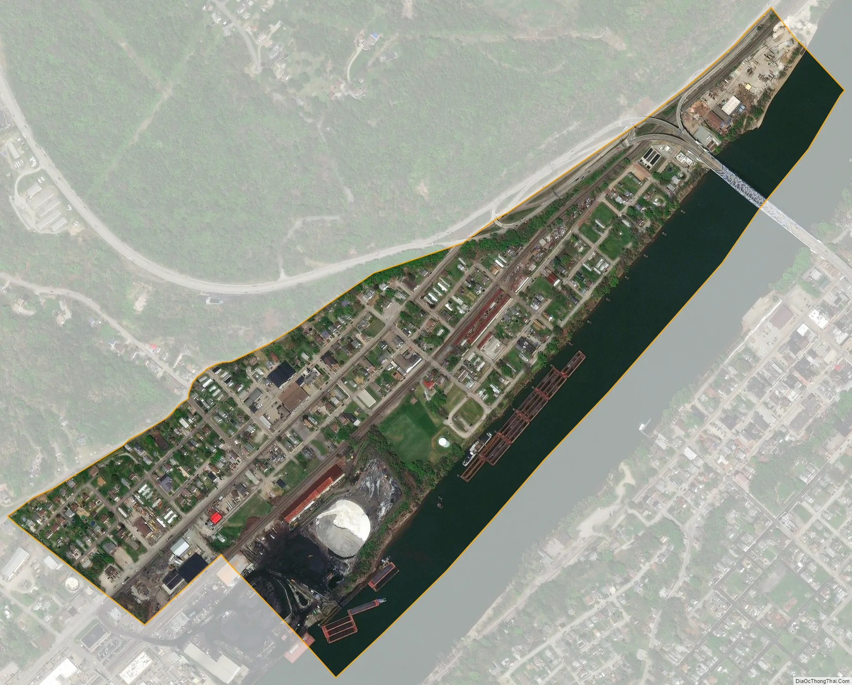
West Elizabeth city Satellite Map
Geography
West Elizabeth is located at 40°16′22″N 79°53′42″W / 40.27278°N 79.89500°W / 40.27278; -79.89500 (40.272901, -79.894918).
According to the United States Census Bureau, the borough has a total area of 0.3 square miles (0.78 km), of which 0.2 square miles (0.52 km) is land and 0.1 square miles (0.26 km), or 27.59%, is water.
See also
Map of Pennsylvania State and its subdivision:- Adams
- Allegheny
- Armstrong
- Beaver
- Bedford
- Berks
- Blair
- Bradford
- Bucks
- Butler
- Cambria
- Cameron
- Carbon
- Centre
- Chester
- Clarion
- Clearfield
- Clinton
- Columbia
- Crawford
- Cumberland
- Dauphin
- Delaware
- Elk
- Erie
- Fayette
- Forest
- Franklin
- Fulton
- Greene
- Huntingdon
- Indiana
- Jefferson
- Juniata
- Lackawanna
- Lancaster
- Lawrence
- Lebanon
- Lehigh
- Luzerne
- Lycoming
- Mc Kean
- Mercer
- Mifflin
- Monroe
- Montgomery
- Montour
- Northampton
- Northumberland
- Perry
- Philadelphia
- Pike
- Potter
- Schuylkill
- Snyder
- Somerset
- Sullivan
- Susquehanna
- Tioga
- Union
- Venango
- Warren
- Washington
- Wayne
- Westmoreland
- Wyoming
- York
- Alabama
- Alaska
- Arizona
- Arkansas
- California
- Colorado
- Connecticut
- Delaware
- District of Columbia
- Florida
- Georgia
- Hawaii
- Idaho
- Illinois
- Indiana
- Iowa
- Kansas
- Kentucky
- Louisiana
- Maine
- Maryland
- Massachusetts
- Michigan
- Minnesota
- Mississippi
- Missouri
- Montana
- Nebraska
- Nevada
- New Hampshire
- New Jersey
- New Mexico
- New York
- North Carolina
- North Dakota
- Ohio
- Oklahoma
- Oregon
- Pennsylvania
- Rhode Island
- South Carolina
- South Dakota
- Tennessee
- Texas
- Utah
- Vermont
- Virginia
- Washington
- West Virginia
- Wisconsin
- Wyoming


