West Homestead is a borough in Allegheny County, Pennsylvania, United States, 8 miles (13 km) southeast of Pittsburgh, on the Monongahela River. Heavy industries associated with nearby steel mills existed here, such as axle works, brickworks, and manufactories of machinery, car wheels, etc. The largest concern was Mesta Machinery, which was one of the world’s leading industrial manufacturers from 1898 until 1983. The population was 1,872 at the 2020 census.
| Name: | West Homestead borough |
|---|---|
| LSAD Code: | 21 |
| LSAD Description: | borough (suffix) |
| State: | Pennsylvania |
| County: | Allegheny County |
| Total Area: | 1.01 sq mi (2.62 km²) |
| Land Area: | 0.92 sq mi (2.39 km²) |
| Water Area: | 0.09 sq mi (0.24 km²) |
| Total Population: | 1,872 |
| Population Density: | 2,021.69/sq mi (780.64/km²) |
| ZIP code: | 15120 |
| Area code: | 412 |
| FIPS code: | 4283200 |
| Website: | westhomesteadpa.com |
Online Interactive Map
Click on ![]() to view map in "full screen" mode.
to view map in "full screen" mode.
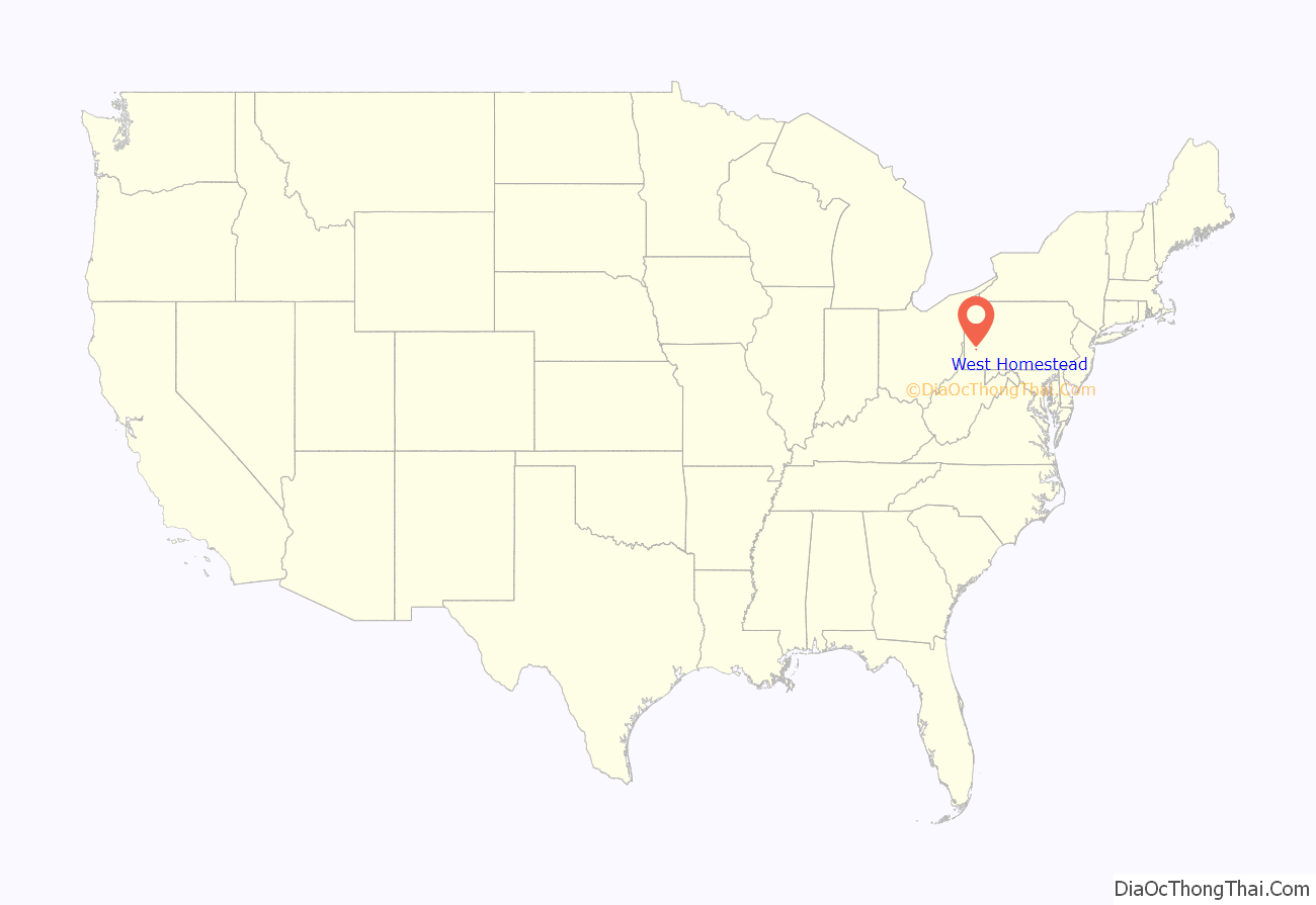
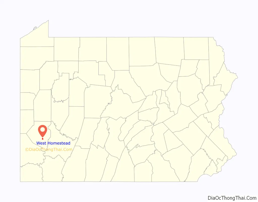
West Homestead location map. Where is West Homestead borough?
History
There are two primary residential communities in West Homestead: the historic district and the Village, a post-World War II hilltop community. The historic district consists of a series of hillside residential streets adorned by intact worker houses reflecting the architecture of the late nineteenth and early twentieth century period when most of these homes were originally built. Composed of homes perfectly suited for contemporary restoration, this neighborhood has a commanding view of the gorgeous river valley.
One of the most noteworthy structures in the historic district is the great Mesta Mansion and accompanying gardens, which was originally built by steel manufacturer and engineer George Mesta, founder of the Mesta Machine Company. Upon his death in 1925 the mansion became the property of his widow, the celebrated socialite and political hostess Perle Mesta, and remained in the Mesta family until the 1970s. This marvelous structure is on the National Register of Historic Places and has undergone a luxurious and ongoing restoration process in recent years.
Another feature of the historic district is the Bulgarian Macedonian National Educational and Cultural Center on West Eighth Avenue. Since 1935, this facility has continued to be the center of Bulgarian and Macedonian cultural activity in Western Pennsylvania. West Homestead’s Eighth Avenue itself is a tree-lined boulevard adorned by Victorian shops on the National Register of Historic Places, and the neighborhood is surrounded by the largest group of ethnic churches on the National Register.
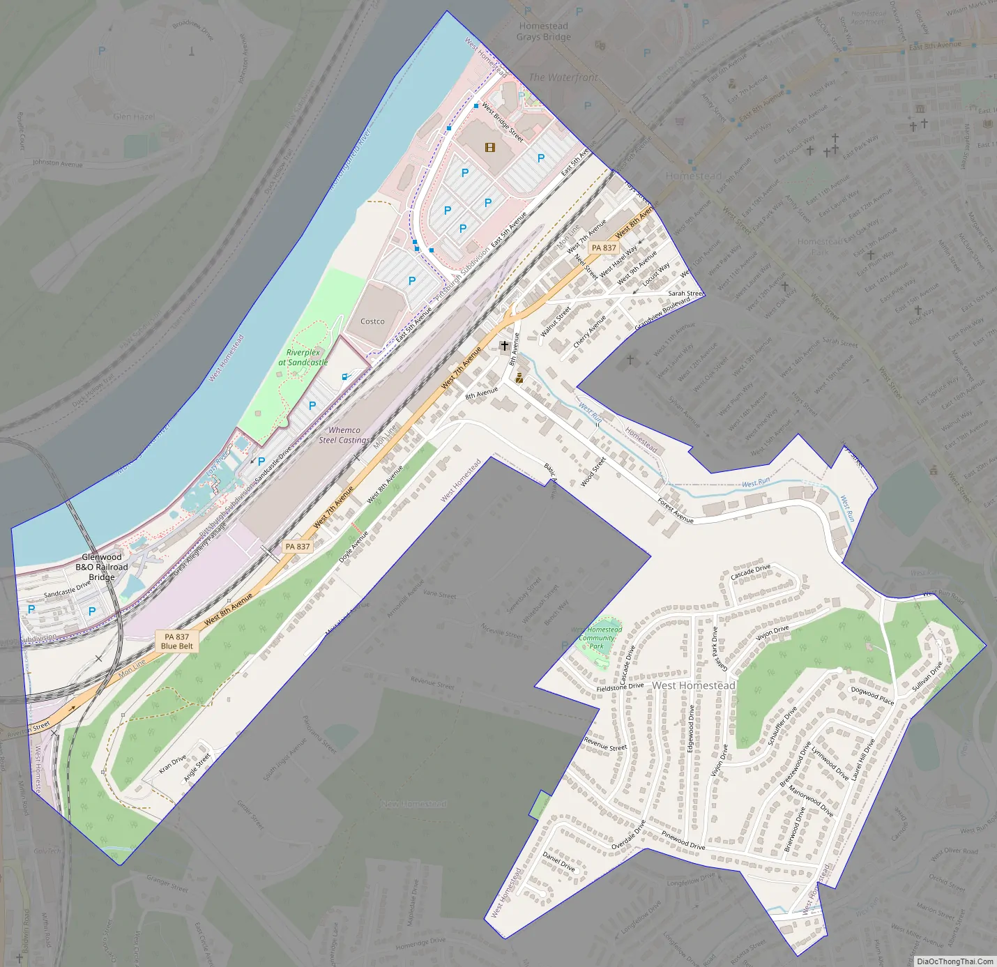
West Homestead Road Map
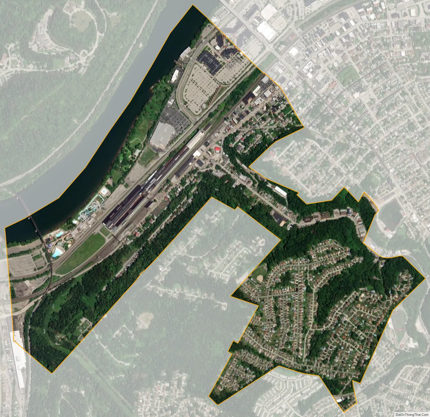
West Homestead city Satellite Map
Geography
West Homestead is located at 40°23′40″N 79°54′55″W / 40.39444°N 79.91528°W / 40.39444; -79.91528 (40.394369, −79.915224).
According to the United States Census Bureau, the borough has a total area of 1.0 square mile (2.6 km), of which 0.9 square miles (2.3 km) is land and 0.1 square miles (0.26 km), or 9.90%, is water.
See also
Map of Pennsylvania State and its subdivision:- Adams
- Allegheny
- Armstrong
- Beaver
- Bedford
- Berks
- Blair
- Bradford
- Bucks
- Butler
- Cambria
- Cameron
- Carbon
- Centre
- Chester
- Clarion
- Clearfield
- Clinton
- Columbia
- Crawford
- Cumberland
- Dauphin
- Delaware
- Elk
- Erie
- Fayette
- Forest
- Franklin
- Fulton
- Greene
- Huntingdon
- Indiana
- Jefferson
- Juniata
- Lackawanna
- Lancaster
- Lawrence
- Lebanon
- Lehigh
- Luzerne
- Lycoming
- Mc Kean
- Mercer
- Mifflin
- Monroe
- Montgomery
- Montour
- Northampton
- Northumberland
- Perry
- Philadelphia
- Pike
- Potter
- Schuylkill
- Snyder
- Somerset
- Sullivan
- Susquehanna
- Tioga
- Union
- Venango
- Warren
- Washington
- Wayne
- Westmoreland
- Wyoming
- York
- Alabama
- Alaska
- Arizona
- Arkansas
- California
- Colorado
- Connecticut
- Delaware
- District of Columbia
- Florida
- Georgia
- Hawaii
- Idaho
- Illinois
- Indiana
- Iowa
- Kansas
- Kentucky
- Louisiana
- Maine
- Maryland
- Massachusetts
- Michigan
- Minnesota
- Mississippi
- Missouri
- Montana
- Nebraska
- Nevada
- New Hampshire
- New Jersey
- New Mexico
- New York
- North Carolina
- North Dakota
- Ohio
- Oklahoma
- Oregon
- Pennsylvania
- Rhode Island
- South Carolina
- South Dakota
- Tennessee
- Texas
- Utah
- Vermont
- Virginia
- Washington
- West Virginia
- Wisconsin
- Wyoming


