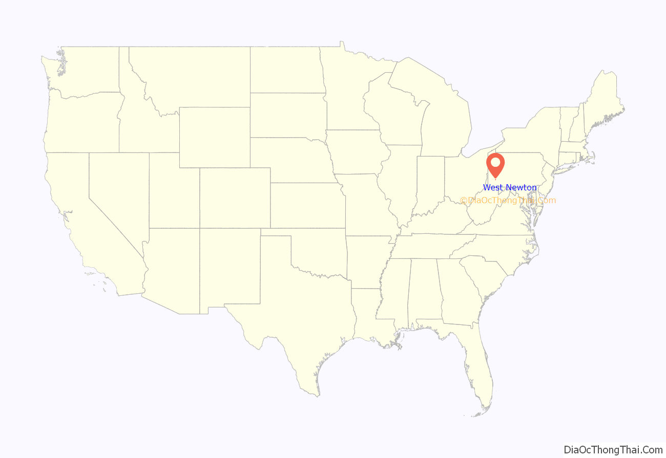
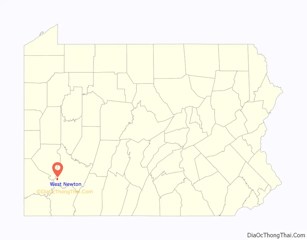
West Newton, located 24.5 miles (39.4 km) southeast of Pittsburgh, is a borough in Westmoreland County in the U.S. state of Pennsylvania. Formerly, the manufacture of radiators and boilers were the chief industries. The population was 2,633 at the 2010 census.
| Name: | West Newton borough |
|---|---|
| LSAD Code: | 21 |
| LSAD Description: | borough (suffix) |
| State: | Pennsylvania |
| County: | Westmoreland County |
| Incorporated: | February 26, 1842 |
| Elevation: | 777 ft (237 m) |
| Total Area: | 1.12 sq mi (2.91 km²) |
| Land Area: | 1.04 sq mi (2.69 km²) |
| Water Area: | 0.09 sq mi (0.22 km²) |
| Total Population: | 2,633 |
| Population Density: | 2,391.51/sq mi (923.17/km²) |
| Area code: | 724, 878 |
| FIPS code: | 4283680 |
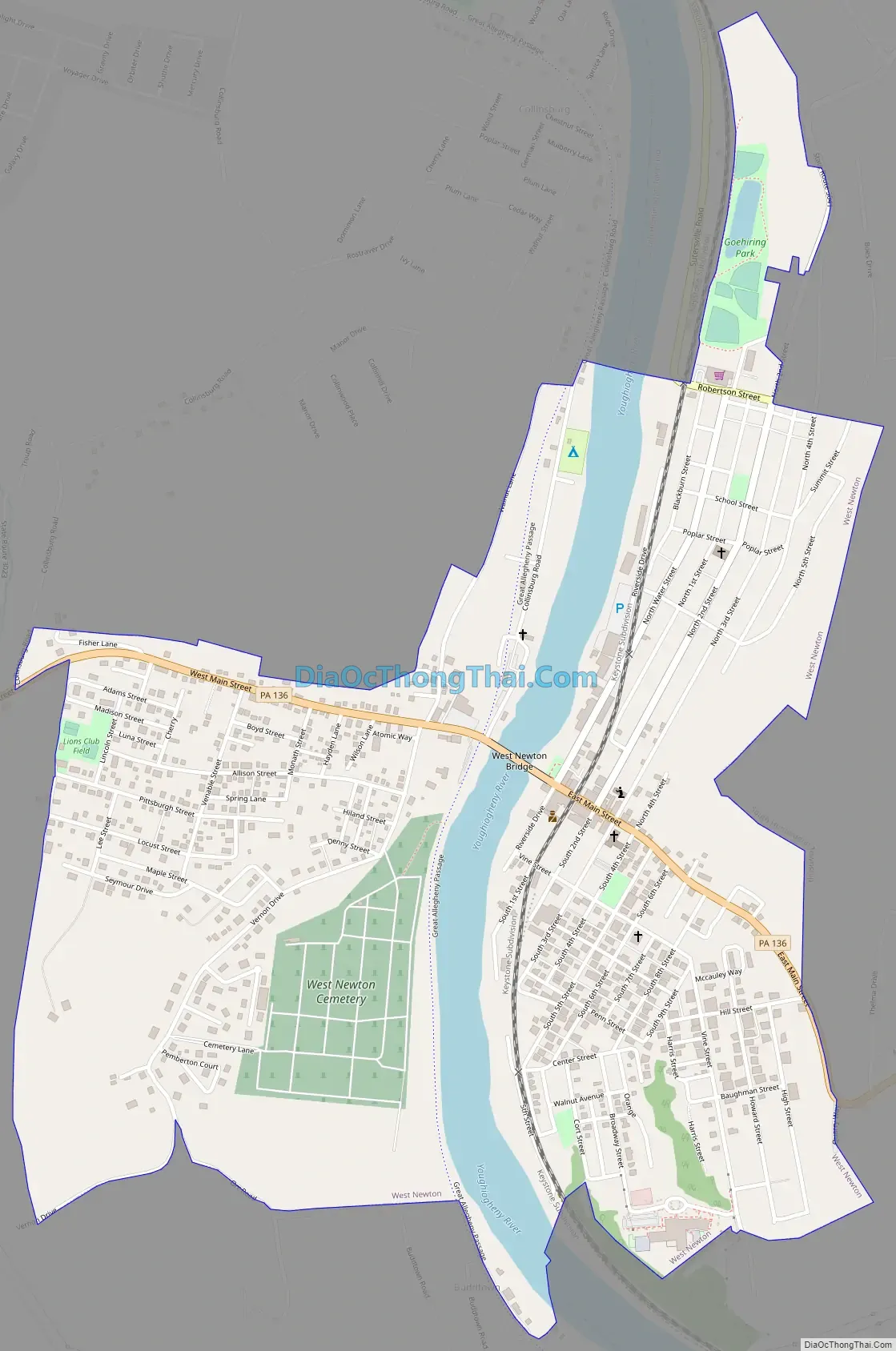
Online Interactive Map
Click on ![]() to view map in "full screen" mode.
to view map in "full screen" mode.
West Newton location map. Where is West Newton borough?
History
The town traces its roots to 1788, when a group of American pioneers to the Northwest Territory led by Gen. Rufus Putnam traveled overland from Massachusetts and stopped at this location to build boats. They then set out down the Youghiogheny River to the Monogahela and Ohio Rivers, ending their journey and founding the town of Marietta, Ohio. Former names of the town are Simeral’s Ferry (also, Sumrill’s Ferry), Oswegly (Sewickley) Old Town, and Robbstown. Eighteen miners lost their lives in West Newton in 1901 at the Port Royal Mine.
The Dick Building and Plumer House are listed on the National Register of Historic Places.
Like many pioneer towns in Western Pennsylvania, West Newton earned its early historical relevance by playing a key role in the westward expansion of the United States. The Simerals were the first family to operate in this area and operated a small ferry on the Youghiogheny River halfway between Connellsville and McKeesport. A New Jersey native and whiskey rebel named Isaac Robb, laid out the town of West Newton; however, it was originally called “Robbstown”. The town grew slowly as the community served as a trading outpost where the Old Glades Indian trail met the Youghiogheny River. West Newton’s fortunes changed during the mid 19th century. River commerce increased with the construction of slack water dams in the 1830s. The introduction of the Pittsburgh, Connellsvile, and Markles Paper Mill provided early economic developments. Despite facing devastating fires, floods and tragic train wrecks in the 20th century, the people of West Newton persevered, continuing to develop both the infrastructure and economy of their community. As time progressed West Newton eventually transitioned into a bedroom community with a vast majority of residents working outside of the borough’s limits. The community saw new economic life blood, serving as a trail town along the Great Allegheny Passage for visitors around the world.
West Newton Road Map
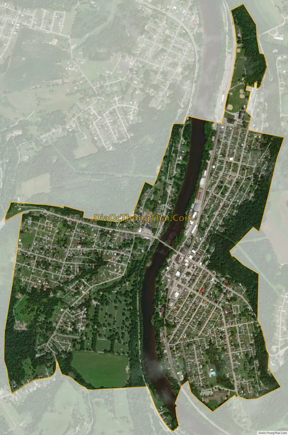
West Newton city Satellite Map
Geography
West Newton is located at 40°12′34″N 79°46′9″W / 40.20944°N 79.76917°W / 40.20944; -79.76917 (40.209378, -79.769157).
According to the United States Census Bureau, the borough has a total area of 1.2 square miles (3.1 km), of which 1.1 square miles (2.8 km) is land and 0.1 square miles (0.26 km) (8.13%) is water.
See also
Map of Pennsylvania State and its subdivision:- Adams
- Allegheny
- Armstrong
- Beaver
- Bedford
- Berks
- Blair
- Bradford
- Bucks
- Butler
- Cambria
- Cameron
- Carbon
- Centre
- Chester
- Clarion
- Clearfield
- Clinton
- Columbia
- Crawford
- Cumberland
- Dauphin
- Delaware
- Elk
- Erie
- Fayette
- Forest
- Franklin
- Fulton
- Greene
- Huntingdon
- Indiana
- Jefferson
- Juniata
- Lackawanna
- Lancaster
- Lawrence
- Lebanon
- Lehigh
- Luzerne
- Lycoming
- Mc Kean
- Mercer
- Mifflin
- Monroe
- Montgomery
- Montour
- Northampton
- Northumberland
- Perry
- Philadelphia
- Pike
- Potter
- Schuylkill
- Snyder
- Somerset
- Sullivan
- Susquehanna
- Tioga
- Union
- Venango
- Warren
- Washington
- Wayne
- Westmoreland
- Wyoming
- York
- Alabama
- Alaska
- Arizona
- Arkansas
- California
- Colorado
- Connecticut
- Delaware
- District of Columbia
- Florida
- Georgia
- Hawaii
- Idaho
- Illinois
- Indiana
- Iowa
- Kansas
- Kentucky
- Louisiana
- Maine
- Maryland
- Massachusetts
- Michigan
- Minnesota
- Mississippi
- Missouri
- Montana
- Nebraska
- Nevada
- New Hampshire
- New Jersey
- New Mexico
- New York
- North Carolina
- North Dakota
- Ohio
- Oklahoma
- Oregon
- Pennsylvania
- Rhode Island
- South Carolina
- South Dakota
- Tennessee
- Texas
- Utah
- Vermont
- Virginia
- Washington
- West Virginia
- Wisconsin
- Wyoming


