Wilmerding is a borough in Allegheny County, Pennsylvania, United States. The population was 1,781 at the 2020 census. It is located 12 miles (19 km) southeast of Pittsburgh. At the start of the twentieth century, it had extensive foundries and machine shops of the Westinghouse Air Brake Company. Wilmerding is adjacent to the borough of Turtle Creek, which takes its name from a small stream that flows past both places.
| Name: | Wilmerding borough |
|---|---|
| LSAD Code: | 21 |
| LSAD Description: | borough (suffix) |
| State: | Pennsylvania |
| County: | Allegheny County |
| Total Area: | 0.43 sq mi (1.11 km²) |
| Land Area: | 0.43 sq mi (1.11 km²) |
| Water Area: | 0.00 sq mi (0.00 km²) |
| Total Population: | 1,781 |
| Population Density: | 4,920.75/sq mi (1,900.96/km²) |
| FIPS code: | 4285496 |
| Website: | www.wilmerdingboro.com |
Online Interactive Map
Click on ![]() to view map in "full screen" mode.
to view map in "full screen" mode.
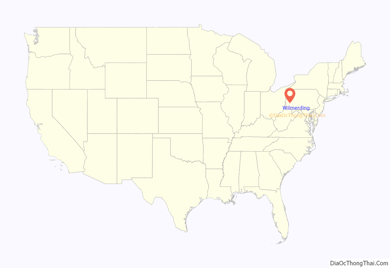
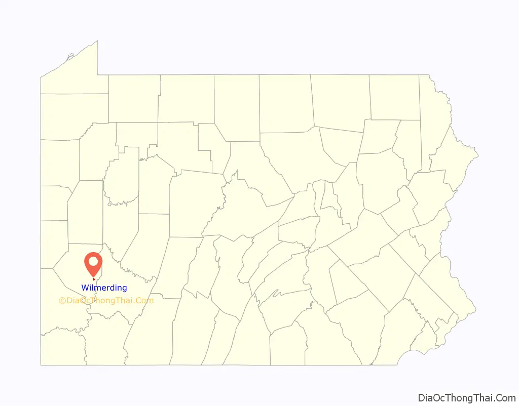
Wilmerding location map. Where is Wilmerding borough?
History
George Westinghouse purchased land in the Turtle Creek valley in 1887 and 1888 as a site for his Westinghouse Air Brake Company and related facilities. Westinghouse then sold the land to the East Pittsburgh Improvement Company, incorporated in December 1888, to develop the site, and it began the sale of lots in June 1889.
Wilmerding’s most notable historic structure is the Westinghouse Air Brake Company General Office Building (1889–1890, rebuilt 1896), designed by Frederick J. Osterling and now listed on the National Register of Historic Places.
The community was named for Joanna Wilmerding (Bruce) Negley, wife of William B. Negley, who in turn was a local landowner and nephew of Thomas Mellon.
Wilmerding officially became a borough on March 8, 1890. The first burgess (mayor) was T. W. Walsh, elected on June 14, 1890.
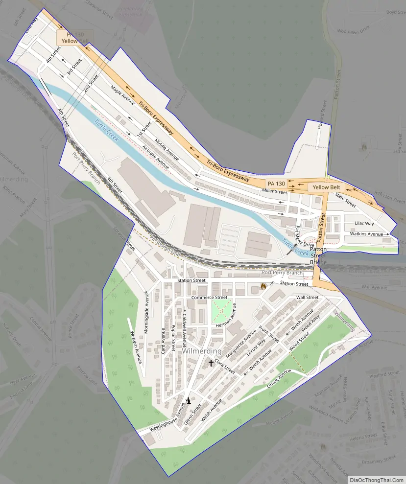
Wilmerding Road Map
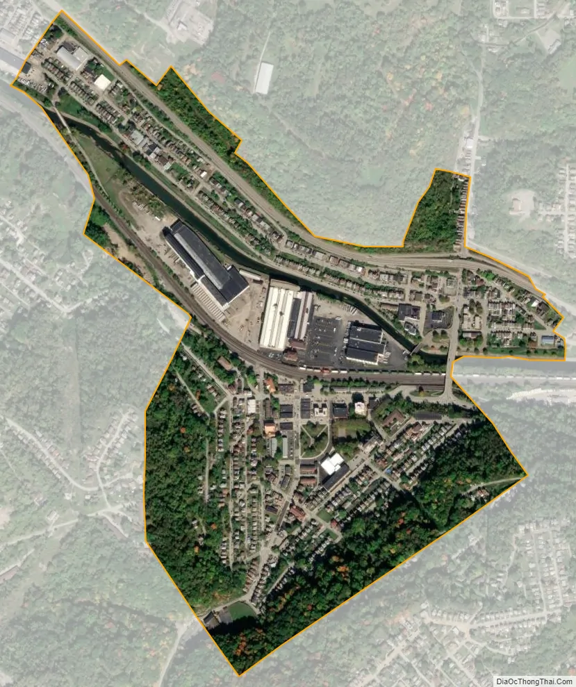
Wilmerding city Satellite Map
Geography
Wilmerding is located at 40°23′40″N 79°48′31″W / 40.39444°N 79.80861°W / 40.39444; -79.80861 (40.394538, -79.808576).
According to the United States Census Bureau, the borough has a total area of 0.4 square miles (1.0 km), all land.
See also
Map of Pennsylvania State and its subdivision:- Adams
- Allegheny
- Armstrong
- Beaver
- Bedford
- Berks
- Blair
- Bradford
- Bucks
- Butler
- Cambria
- Cameron
- Carbon
- Centre
- Chester
- Clarion
- Clearfield
- Clinton
- Columbia
- Crawford
- Cumberland
- Dauphin
- Delaware
- Elk
- Erie
- Fayette
- Forest
- Franklin
- Fulton
- Greene
- Huntingdon
- Indiana
- Jefferson
- Juniata
- Lackawanna
- Lancaster
- Lawrence
- Lebanon
- Lehigh
- Luzerne
- Lycoming
- Mc Kean
- Mercer
- Mifflin
- Monroe
- Montgomery
- Montour
- Northampton
- Northumberland
- Perry
- Philadelphia
- Pike
- Potter
- Schuylkill
- Snyder
- Somerset
- Sullivan
- Susquehanna
- Tioga
- Union
- Venango
- Warren
- Washington
- Wayne
- Westmoreland
- Wyoming
- York
- Alabama
- Alaska
- Arizona
- Arkansas
- California
- Colorado
- Connecticut
- Delaware
- District of Columbia
- Florida
- Georgia
- Hawaii
- Idaho
- Illinois
- Indiana
- Iowa
- Kansas
- Kentucky
- Louisiana
- Maine
- Maryland
- Massachusetts
- Michigan
- Minnesota
- Mississippi
- Missouri
- Montana
- Nebraska
- Nevada
- New Hampshire
- New Jersey
- New Mexico
- New York
- North Carolina
- North Dakota
- Ohio
- Oklahoma
- Oregon
- Pennsylvania
- Rhode Island
- South Carolina
- South Dakota
- Tennessee
- Texas
- Utah
- Vermont
- Virginia
- Washington
- West Virginia
- Wisconsin
- Wyoming


