Windber is a borough in Somerset County, Pennsylvania, United States, which is located approximately three miles (4.8 km) south of Johnstown. At one time, it was a place of multiple industrial activities, including coal mining, lumbering, and the manufacture of fire brick.
The community was founded in 1897 by coal barons Charles and Edward Julius Berwind, owners of the Berwind Corporation; the name “Windber” simply switches the order of the two syllables in the family name “Berwind”.
A total of 8,013 people lived in Windber in 1910 and the figure rose to 9,057 as of 1940; the population was 3,930 at the time of the 2020 census.
It is part of the Johnstown, Pennsylvania Metropolitan Statistical Area.
| Name: | Windber borough |
|---|---|
| LSAD Code: | 21 |
| LSAD Description: | borough (suffix) |
| State: | Pennsylvania |
| County: | Somerset County |
| Incorporated: | July 3, 1900 |
| Total Area: | 1.98 sq mi (5.12 km²) |
| Land Area: | 1.98 sq mi (5.12 km²) |
| Water Area: | 0.00 sq mi (0.00 km²) |
| Total Population: | 3,930 |
| Population Density: | 1,929.22/sq mi (745.01/km²) |
| Area code: | 814 |
| FIPS code: | 4285632 |
Online Interactive Map
Click on ![]() to view map in "full screen" mode.
to view map in "full screen" mode.
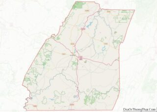
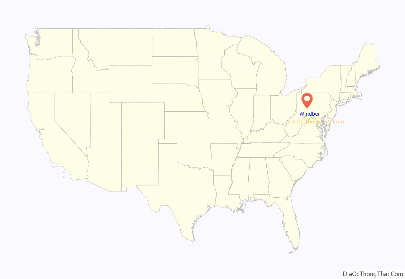
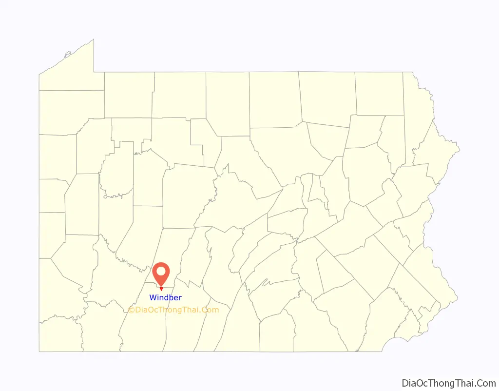
Windber location map. Where is Windber borough?
History
Windber was established in 1897 as a company town for nearby coal mines in the vicinity of Johnstown. The Berwind-White Coal Mining Company imported workers from eastern and southern Europe and exploited ethnic divisions in the area (which had been settled by Germans and Irish in the 19th century).
On Good Friday 1922, coal miners walked out of the mines in Windber and several nearby locations in Somerset County, attempting to force the mine owners to recognize their United Mine Workers union, as well as accurately weigh the coal they mined. The company employed legal tactics (the United States Supreme Court decided two lawsuits) as well as strike-breakers, but the miners received considerable favorable national publicity and local support and held out until the end of the following summer. However, the UMW successfully organized the mines during 1933, after the Great Depression led to the election of President Franklin Delano Roosevelt.
The Vintage Electric Streetcar Company, popularly called the “trolley graveyard”, is located in Windber. The private scrapyard houses a number of PCC streetcars and other transit equipment from systems like the MBTA Green Line, which are sold for reuse or scrapped for parts.
The Windber Historic District was listed on the National Register of Historic Places in 1991.
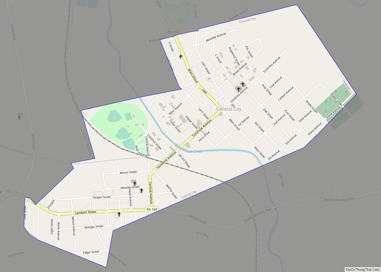
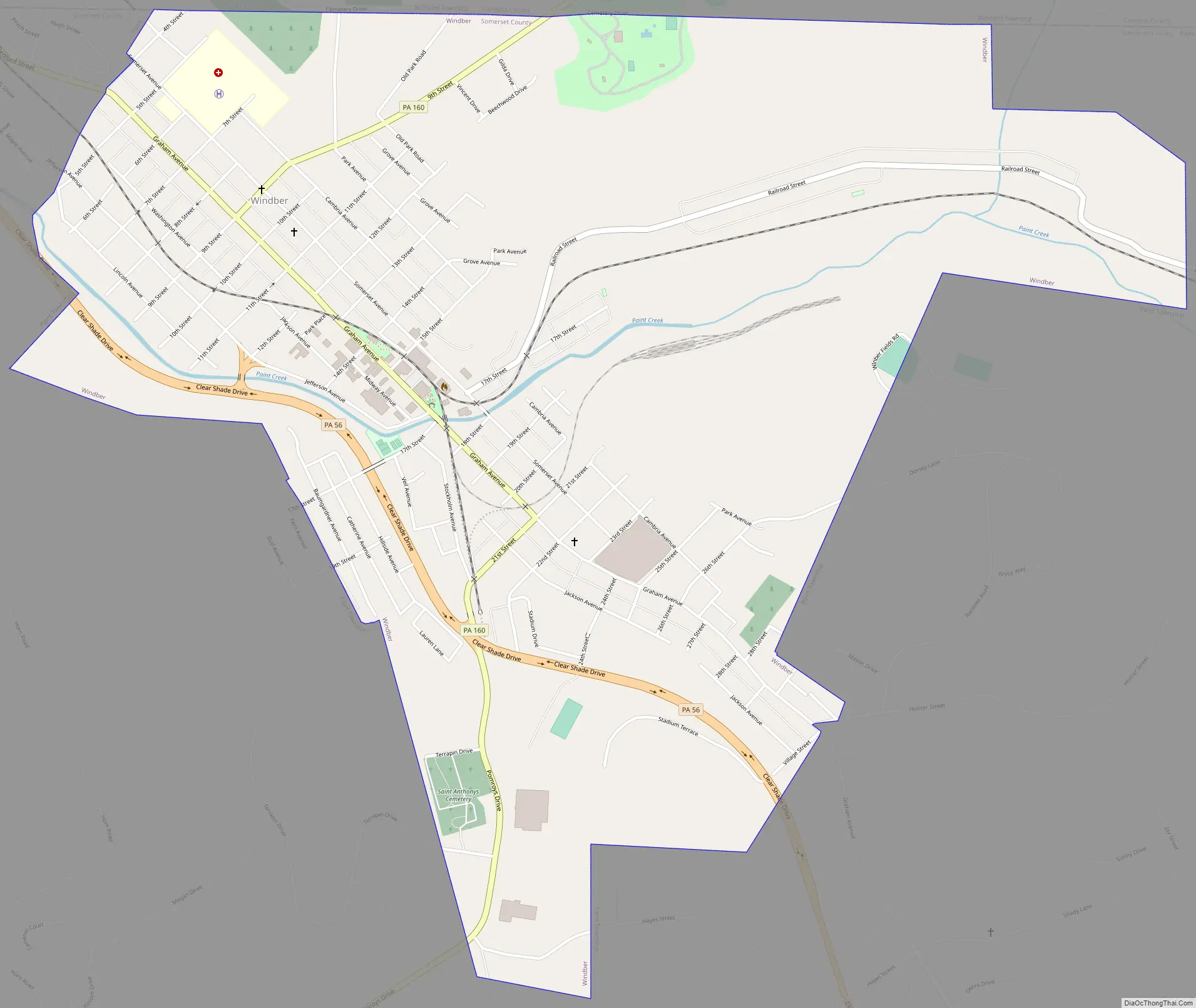
Windber Road Map
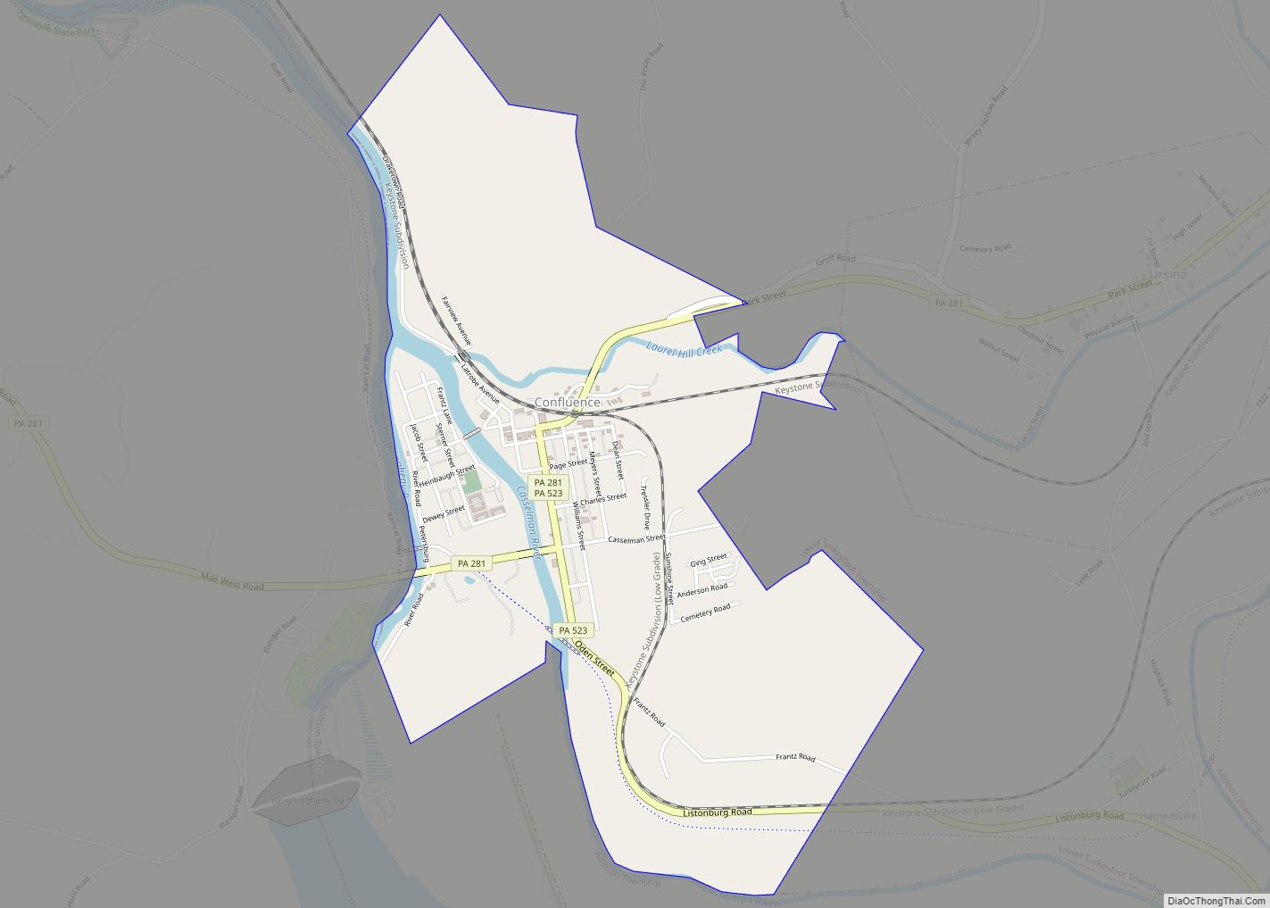
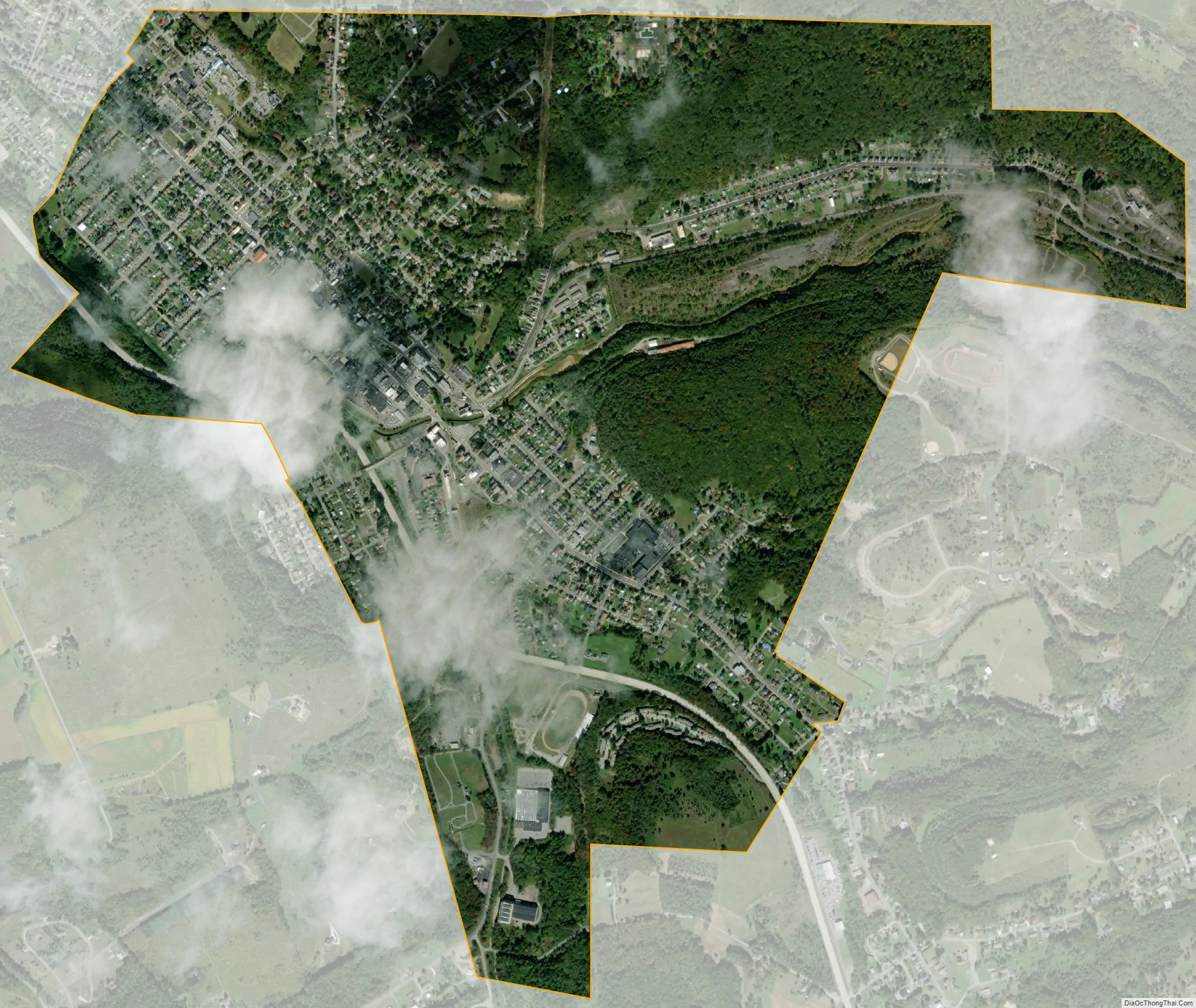
Windber city Satellite Map
Geography
Windber is located at 40°14′7″N 78°49′51″W / 40.23528°N 78.83083°W / 40.23528; -78.83083 (40.235161, -78.830864).
According to the United States Census Bureau, the borough has a total area of 2.1 square miles (5.4 km), all land.
See also
Map of Pennsylvania State and its subdivision:- Adams
- Allegheny
- Armstrong
- Beaver
- Bedford
- Berks
- Blair
- Bradford
- Bucks
- Butler
- Cambria
- Cameron
- Carbon
- Centre
- Chester
- Clarion
- Clearfield
- Clinton
- Columbia
- Crawford
- Cumberland
- Dauphin
- Delaware
- Elk
- Erie
- Fayette
- Forest
- Franklin
- Fulton
- Greene
- Huntingdon
- Indiana
- Jefferson
- Juniata
- Lackawanna
- Lancaster
- Lawrence
- Lebanon
- Lehigh
- Luzerne
- Lycoming
- Mc Kean
- Mercer
- Mifflin
- Monroe
- Montgomery
- Montour
- Northampton
- Northumberland
- Perry
- Philadelphia
- Pike
- Potter
- Schuylkill
- Snyder
- Somerset
- Sullivan
- Susquehanna
- Tioga
- Union
- Venango
- Warren
- Washington
- Wayne
- Westmoreland
- Wyoming
- York
- Alabama
- Alaska
- Arizona
- Arkansas
- California
- Colorado
- Connecticut
- Delaware
- District of Columbia
- Florida
- Georgia
- Hawaii
- Idaho
- Illinois
- Indiana
- Iowa
- Kansas
- Kentucky
- Louisiana
- Maine
- Maryland
- Massachusetts
- Michigan
- Minnesota
- Mississippi
- Missouri
- Montana
- Nebraska
- Nevada
- New Hampshire
- New Jersey
- New Mexico
- New York
- North Carolina
- North Dakota
- Ohio
- Oklahoma
- Oregon
- Pennsylvania
- Rhode Island
- South Carolina
- South Dakota
- Tennessee
- Texas
- Utah
- Vermont
- Virginia
- Washington
- West Virginia
- Wisconsin
- Wyoming