Winterstown is a borough in York County, Pennsylvania, United States. The population was 609 at the time of the 2020 census.
| Name: | Winterstown borough |
|---|---|
| LSAD Code: | 21 |
| LSAD Description: | borough (suffix) |
| State: | Pennsylvania |
| County: | York County |
| Incorporated: | 1871 |
| Elevation: | 807 ft (246 m) |
| Total Area: | 2.41 sq mi (6.25 km²) |
| Land Area: | 2.41 sq mi (6.25 km²) |
| Water Area: | 0.00 sq mi (0.00 km²) |
| Total Population: | 608 |
| Population Density: | 251.86/sq mi (97.24/km²) |
| Area code: | 717 |
| FIPS code: | 4285872 |
Online Interactive Map
Click on ![]() to view map in "full screen" mode.
to view map in "full screen" mode.
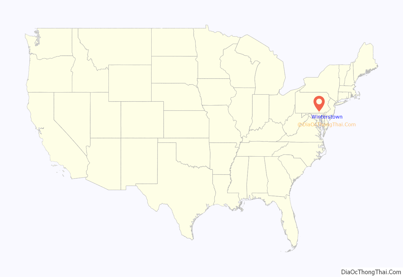
Winterstown location map. Where is Winterstown borough?
History
Townsend Winters, a resident of Steuben County, New York, purchased a four-hundred-acre tract of heavily forested land in York County, Pennsylvania, circa 1830, from the heirs of Reverend John Smith for two thousand dollars. After clearing portions of the land, Winters began work on building a house there and planted an apple orchard. As other settlers made their way to this area of the county, Winters cleared more of the land, and began sectioning it into individual lots, which he subsequently sold to the new arrivals. That first community, which would later become known as the Borough of Winterstown, was initially named Apple Grove in recognition of the thriving orchard that Winters had planted. Prior to completing work on his house, Winters then sold his home and land to Daniel Brenneman, who completed work on the structure, then built a blacksmith shop there.
The town of Apple Grove was renamed to Winterstown sometime thereafter and surveyed by William Norris. On January 2, 1871, it was officially incorporated as a borough.
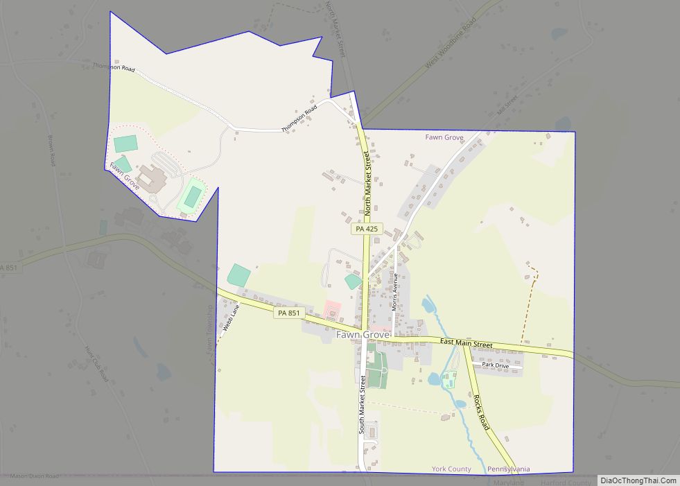
Winterstown Road Map
Winterstown city Satellite Map
Geography
Winterstown is located at 39°50′25″N 76°37′27″W / 39.84028°N 76.62417°W / 39.84028; -76.62417 (39.840346, -76.624125).
According to the United States Census Bureau, the borough has a total area of 2.3 square miles (6.0 km), all of it land.
See also
Map of Pennsylvania State and its subdivision:- Adams
- Allegheny
- Armstrong
- Beaver
- Bedford
- Berks
- Blair
- Bradford
- Bucks
- Butler
- Cambria
- Cameron
- Carbon
- Centre
- Chester
- Clarion
- Clearfield
- Clinton
- Columbia
- Crawford
- Cumberland
- Dauphin
- Delaware
- Elk
- Erie
- Fayette
- Forest
- Franklin
- Fulton
- Greene
- Huntingdon
- Indiana
- Jefferson
- Juniata
- Lackawanna
- Lancaster
- Lawrence
- Lebanon
- Lehigh
- Luzerne
- Lycoming
- Mc Kean
- Mercer
- Mifflin
- Monroe
- Montgomery
- Montour
- Northampton
- Northumberland
- Perry
- Philadelphia
- Pike
- Potter
- Schuylkill
- Snyder
- Somerset
- Sullivan
- Susquehanna
- Tioga
- Union
- Venango
- Warren
- Washington
- Wayne
- Westmoreland
- Wyoming
- York
- Alabama
- Alaska
- Arizona
- Arkansas
- California
- Colorado
- Connecticut
- Delaware
- District of Columbia
- Florida
- Georgia
- Hawaii
- Idaho
- Illinois
- Indiana
- Iowa
- Kansas
- Kentucky
- Louisiana
- Maine
- Maryland
- Massachusetts
- Michigan
- Minnesota
- Mississippi
- Missouri
- Montana
- Nebraska
- Nevada
- New Hampshire
- New Jersey
- New Mexico
- New York
- North Carolina
- North Dakota
- Ohio
- Oklahoma
- Oregon
- Pennsylvania
- Rhode Island
- South Carolina
- South Dakota
- Tennessee
- Texas
- Utah
- Vermont
- Virginia
- Washington
- West Virginia
- Wisconsin
- Wyoming
