Woodcock is a borough in Crawford County, Pennsylvania, United States. The population was 139 at the 2020 census, down from 157 at the 2010 census.
| Name: | Woodcock borough |
|---|---|
| LSAD Code: | 21 |
| LSAD Description: | borough (suffix) |
| State: | Pennsylvania |
| County: | Crawford County |
| Founded: | 1844 |
| Total Area: | 0.67 sq mi (1.73 km²) |
| Land Area: | 0.67 sq mi (1.73 km²) |
| Water Area: | 0.00 sq mi (0.00 km²) |
| Total Population: | 139 |
| Population Density: | 223.39/sq mi (86.26/km²) |
| Area code: | 814 |
| FIPS code: | 4286160 |
Online Interactive Map
Click on ![]() to view map in "full screen" mode.
to view map in "full screen" mode.
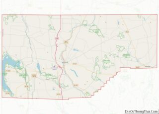
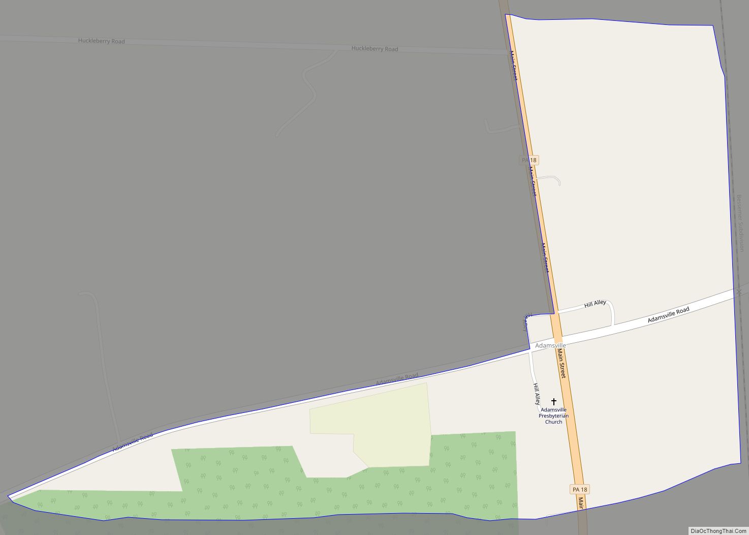
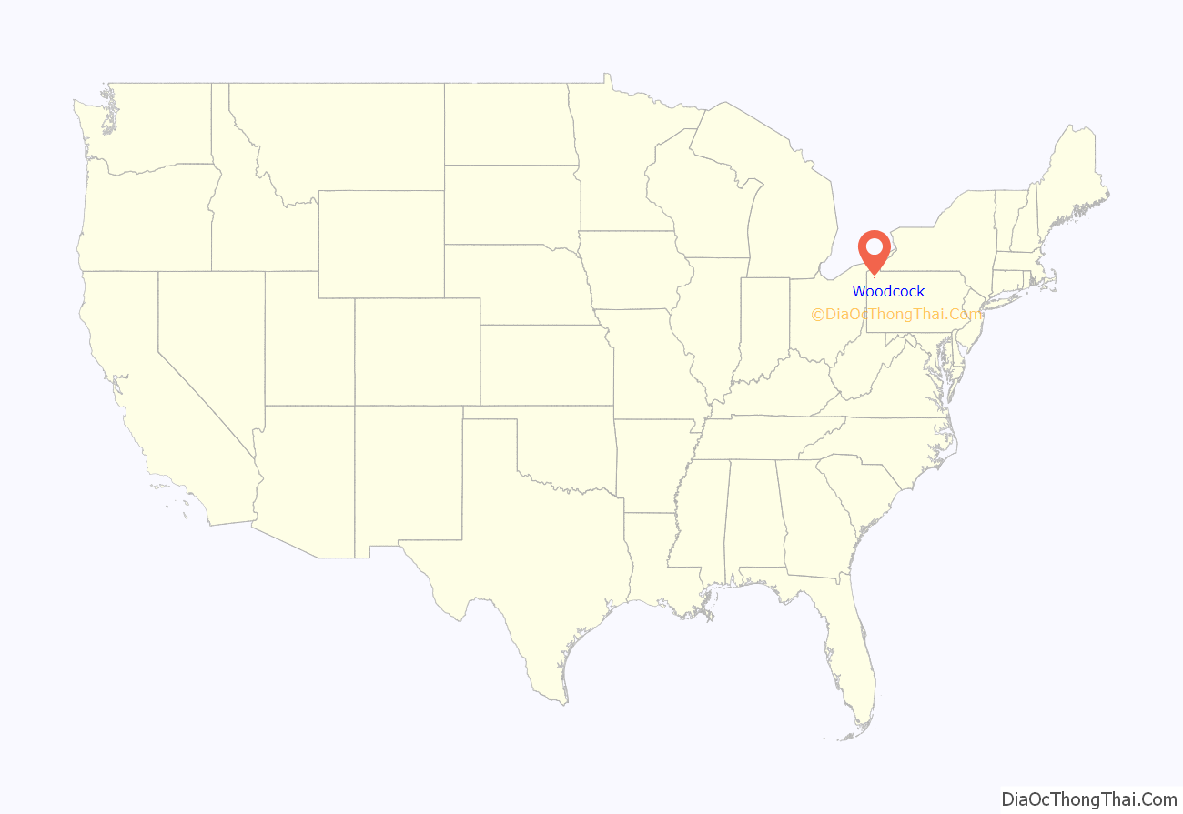
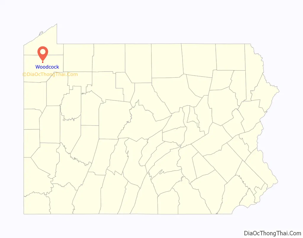
Woodcock location map. Where is Woodcock borough?
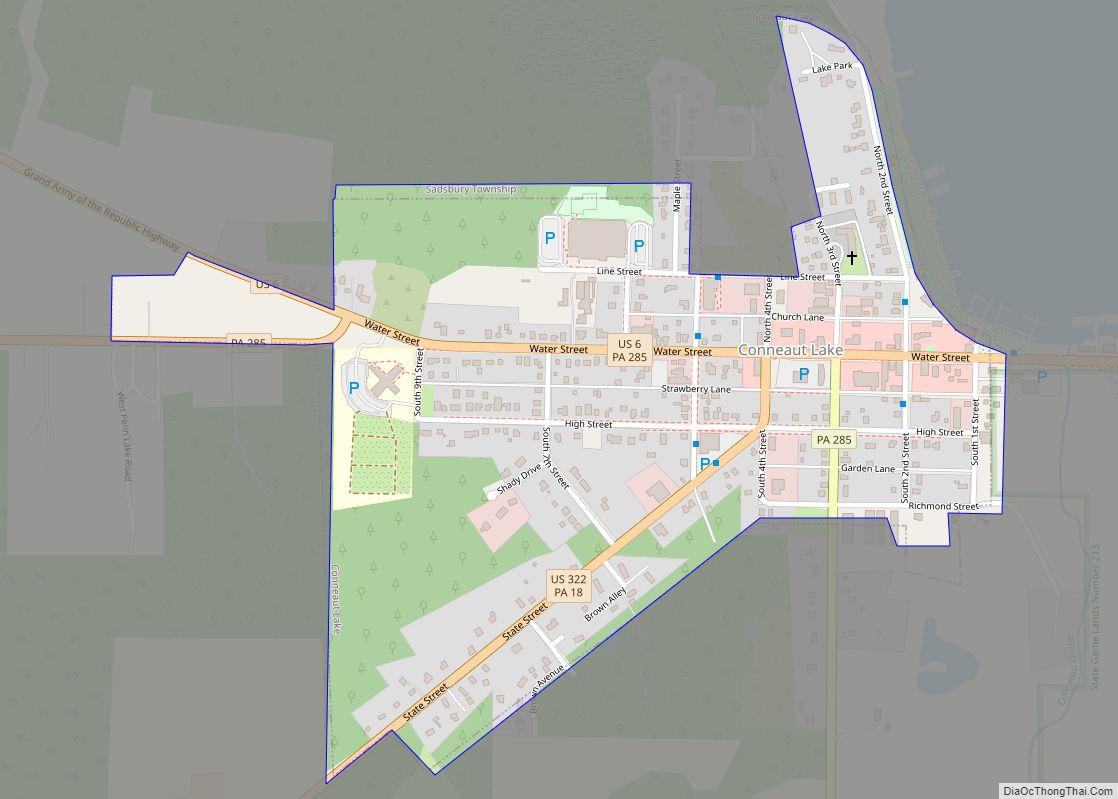
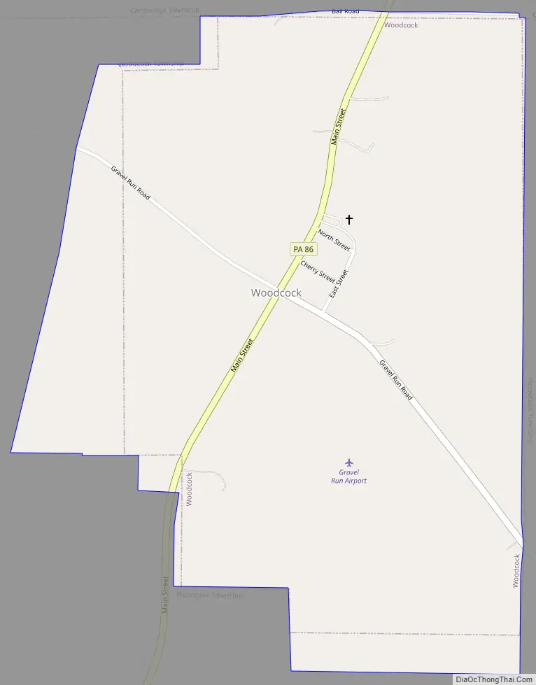
Woodcock Road Map
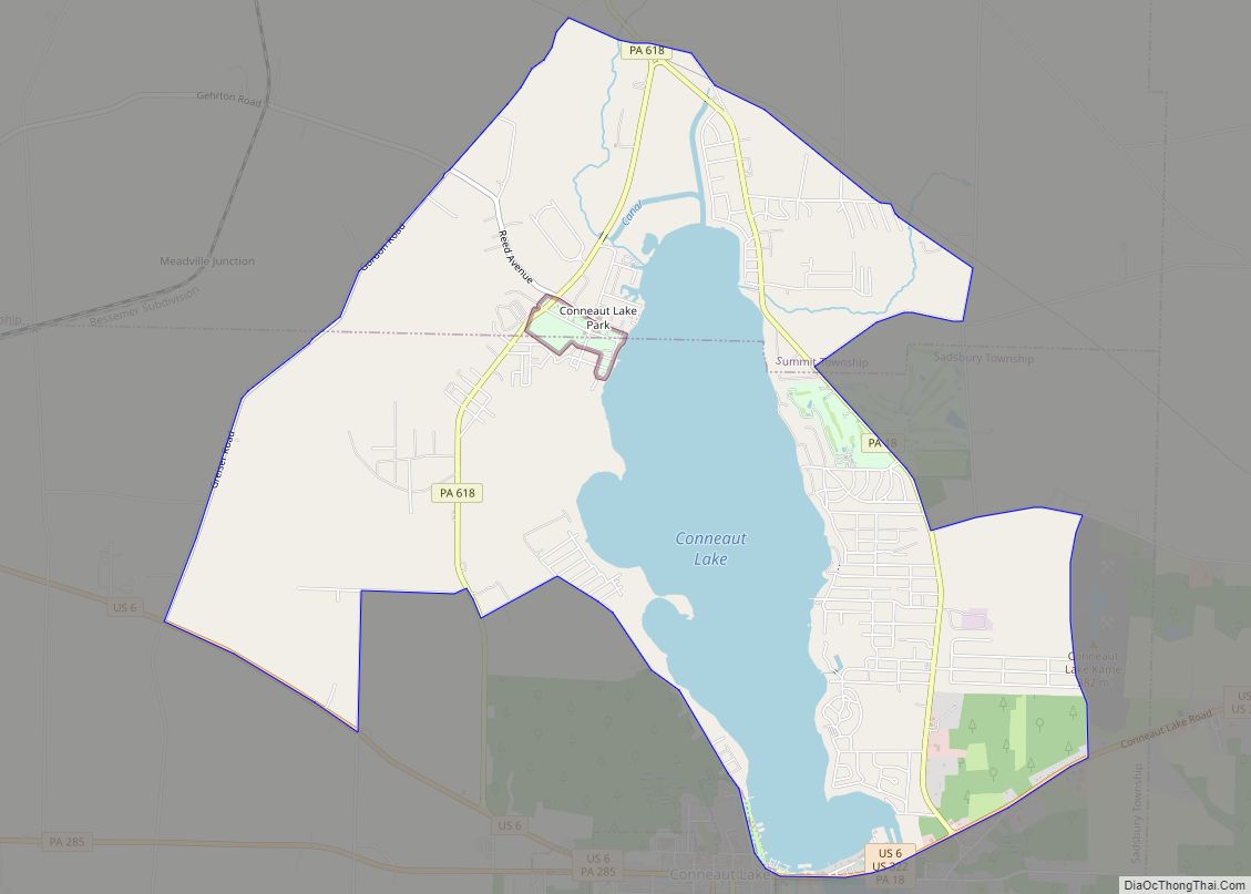
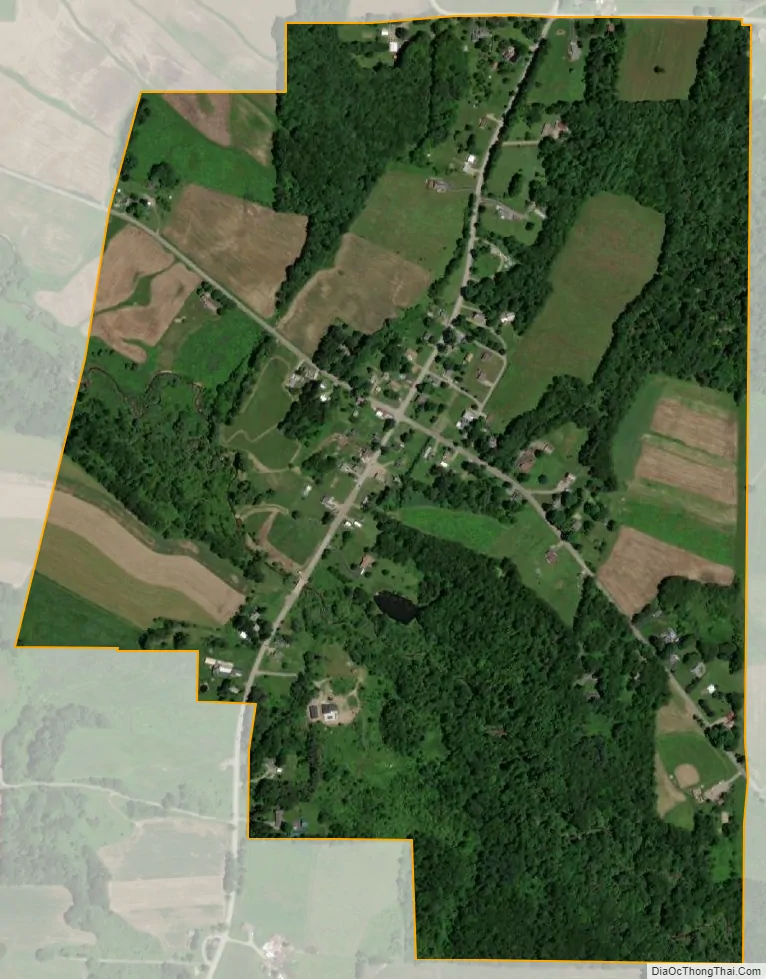
Woodcock city Satellite Map
Geography
Woodcock is located in north-central Crawford County at 41°45′17″N 80°5′4″W / 41.75472°N 80.08444°W / 41.75472; -80.08444 (41.754726, -80.084569). It is bordered to the west, south, and east by Woodcock Township and to the north by Cambridge Township. Woodcock is in the valley of Gravel Run, which flows west for approximately 1 mile (1.6 km) to French Creek, a tributary of the Allegheny River.
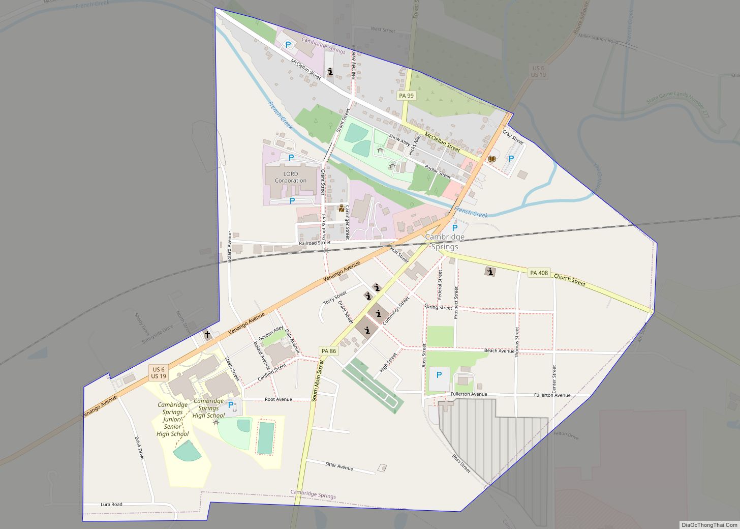
Pennsylvania Route 86 passes through the borough, leading northeast 4 miles (6 km) to Cambridge Springs and southwest 9 miles (14 km) to Meadville, the county seat.
According to the United States Census Bureau, the borough has a total area of 0.66 square miles (1.72 km), all land.
See also
Map of Pennsylvania State and its subdivision:- Adams
- Allegheny
- Armstrong
- Beaver
- Bedford
- Berks
- Blair
- Bradford
- Bucks
- Butler
- Cambria
- Cameron
- Carbon
- Centre
- Chester
- Clarion
- Clearfield
- Clinton
- Columbia
- Crawford
- Cumberland
- Dauphin
- Delaware
- Elk
- Erie
- Fayette
- Forest
- Franklin
- Fulton
- Greene
- Huntingdon
- Indiana
- Jefferson
- Juniata
- Lackawanna
- Lancaster
- Lawrence
- Lebanon
- Lehigh
- Luzerne
- Lycoming
- Mc Kean
- Mercer
- Mifflin
- Monroe
- Montgomery
- Montour
- Northampton
- Northumberland
- Perry
- Philadelphia
- Pike
- Potter
- Schuylkill
- Snyder
- Somerset
- Sullivan
- Susquehanna
- Tioga
- Union
- Venango
- Warren
- Washington
- Wayne
- Westmoreland
- Wyoming
- York
- Alabama
- Alaska
- Arizona
- Arkansas
- California
- Colorado
- Connecticut
- Delaware
- District of Columbia
- Florida
- Georgia
- Hawaii
- Idaho
- Illinois
- Indiana
- Iowa
- Kansas
- Kentucky
- Louisiana
- Maine
- Maryland
- Massachusetts
- Michigan
- Minnesota
- Mississippi
- Missouri
- Montana
- Nebraska
- Nevada
- New Hampshire
- New Jersey
- New Mexico
- New York
- North Carolina
- North Dakota
- Ohio
- Oklahoma
- Oregon
- Pennsylvania
- Rhode Island
- South Carolina
- South Dakota
- Tennessee
- Texas
- Utah
- Vermont
- Virginia
- Washington
- West Virginia
- Wisconsin
- Wyoming