Beresford (/ˈbɪərzfərd/; BEERZ-fərd) is a city in Lincoln and Union counties in the U.S. state of South Dakota. The population was 2,180 as of the 2020 census. The southern two-thirds is part of the Sioux City, IA–NE-SD Metropolitan Statistical Area, while the northern one-third is part of the Sioux Falls Metropolitan Statistical Area. The Beresford Republic is the weekly newspaper.
| Name: | Beresford city |
|---|---|
| LSAD Code: | 25 |
| LSAD Description: | city (suffix) |
| State: | South Dakota |
| County: | Lincoln County, Union County |
| Incorporated: | July 12, 1884 |
| Elevation: | 1,499 ft (457 m) |
| Total Area: | 1.78 sq mi (4.62 km²) |
| Land Area: | 1.78 sq mi (4.62 km²) |
| Water Area: | 0.00 sq mi (0.00 km²) |
| Total Population: | 2,180 |
| Population Density: | 1,221.97/sq mi (471.71/km²) |
| ZIP code: | 57004 |
| Area code: | 605 |
| FIPS code: | 4604980 |
| GNISfeature ID: | 1267667 |
| Website: | www.beresfordsd.com |
Online Interactive Map
Click on ![]() to view map in "full screen" mode.
to view map in "full screen" mode.
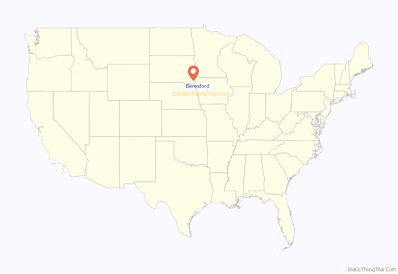
Beresford location map. Where is Beresford city?
History
Beresford was originally called Paris, and under the latter name was laid out in 1873. The city was renamed after Lord Charles Beresford and was formally incorporated on July 12, 1884.
Following the end of the Civil War, thousands of people settled in Dakota Territory during the years 1871 and 1872. If certain requirements (laid out in the Homestead Act of 1862) were met, the government gave title to the land to the homesteaders. Those who settled faced many hardships; however, by settling and starting farms to transform the land into a productive agricultural area.
In 1872, the family of Eli Ricard was the first to settle on a homestead in section five of Prairie Township of what is now Union County. This land became the original location of what is now the town of Beresford. As early as 1873, this small town known as Paris, Dakota Territory. Mr. Ricard operated the Paris Post Office from the frame house he built on his homestead.
In the fall of 1882, it became known that the Iroquois-Hawarden line of the Central division of the Chicago and North Western had built its grade to a point near the Big Sioux River and would be extending it through in the spring of 1883. It was also announced that a town would be established in the area at that time. Mr. Ricard was reported to have offered the rail road company 80 acres if they would build the railroad across the area where Paris was located. Subsequently, the railroad was built along Elie Ricard’s claim. The surveyor laid out the plat of the town with the assistance of Patrick H. Farley, who helped carry the chain. Beresford was named after Lord Beresford by English capitalists interested in the railroad. The town was not formally incorporated until July 12, 1884.
In the spring of 1883, farmers pushed in to establish a number of businesses in Beresford. The first structure in the pioneer town was the saloon built and operated by D. C. Choquette. This structure was later destroyed by a fire. The second structure was a drug store built by G. S. Joscelyn on the west side of Third Street. This structure was later moved and used as a work shop; and, it was still standing as recently as 1934. The J. W. Reedy residence was believed to have been the first home built in Beresford. When J. N. Wass came to Beresford, he counted a total of seventeen structures.
There were a number of other pioneers in Beresford. J. R. Carleton established the “Beresford News” in 1883 and was the town’s first newspaper editor. Charley Sundling was the first mail carrier. David Stephen was Beresford’s first postmaster and first merchant. Eli Ricard was the first furniture dealer who also had a stock of coffins. W. J. Byrnes of Canton operated the first hotel. Beresford’s first doctor was Dr. R. A. Hill. George Bruehler was the town’s first harness maker. Lars Rasmussen operated the Beresford’s first meat market. Jerry and J. L. Reedy operated the first hardware store. Walt Palmer and Mr. Churchill had Beresford’s first livery stable. J. E. Sinclair was the first grain buyer. J. H. Queal and F. M. Slagle established Beresford’s first lumber yards. Thomas Kane Miller was the first shoe cobbler and barber. C. R. Nylen worked for J. C. Jocelyn as Beresford’s first pharmacist. Thomas Malloy was the first section boss. C. A. Potter was Beresford’s first banker as well as founder of the town’s first electric light plant, which failed due to a lack of funds. Morris and Tina Ryan owned and operated the city’s first telephone exchange.
Sources “An Historical Review of the Early Days In the Settlement Which We Now Know As Beresford.” Beresford Republic 9 Aug. 1934: 1–2. Centennial Book Committee, ed. Beresford 1884–1984. Beresford, SD: Beresford Republic and Lennox Independent, 1983. Peterson, Mrs. C. O. Beresford’s 75th Diamond Jubilee. Bersford, SD: Beresford Republic, 1959. “Third Street Beresford, in an Early Day, 1884.” Beresford Republic. 26 Jan. 1922: 1.
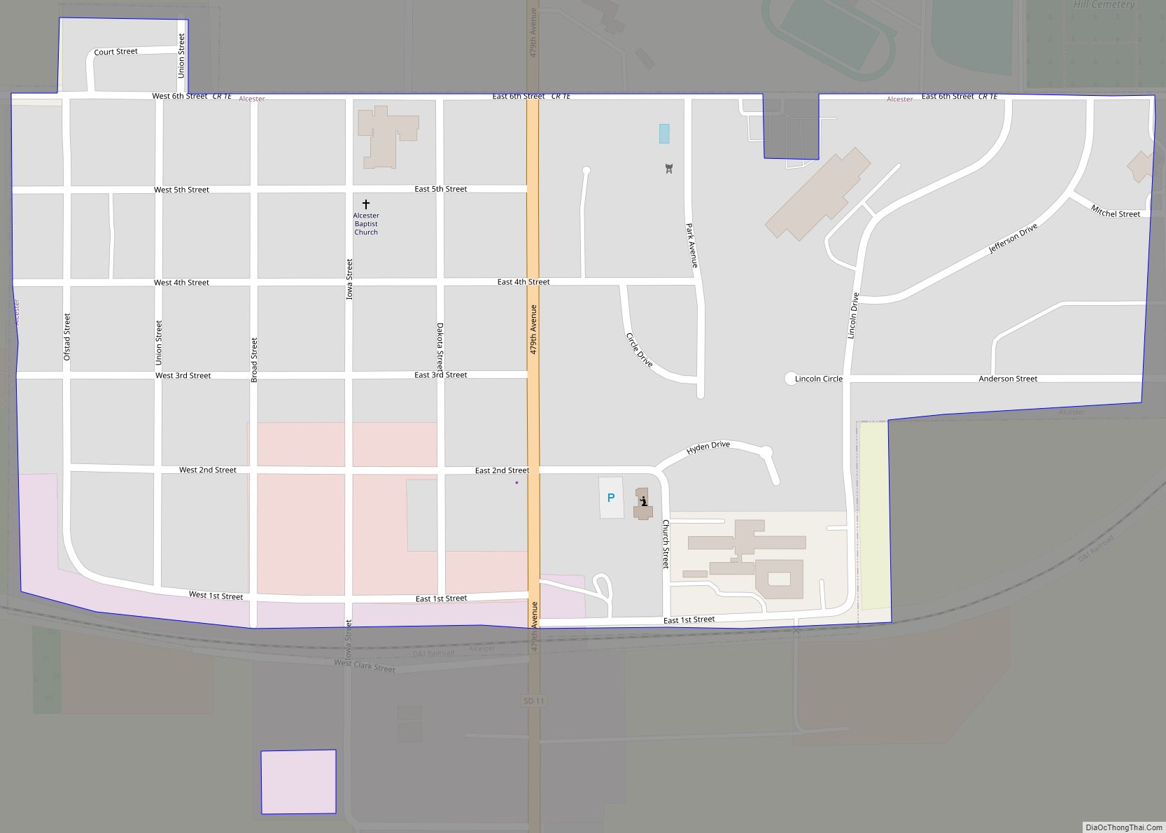
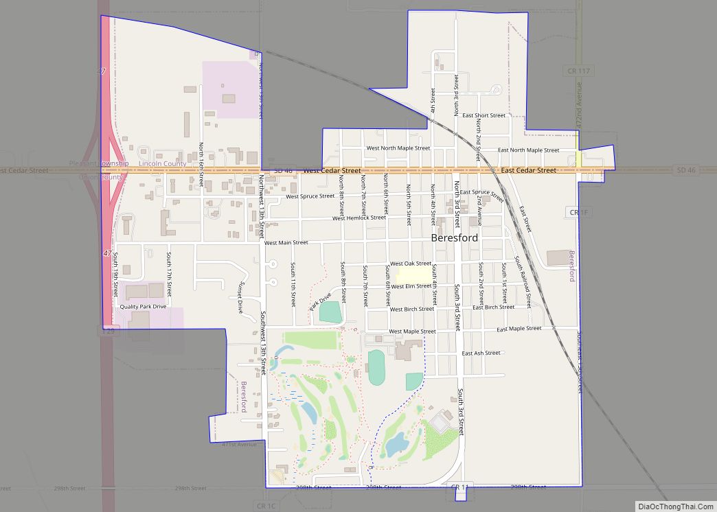
Beresford Road Map
Beresford city Satellite Map
Geography
Beresford is located at 43°4′51″N 96°46′34″W / 43.08083°N 96.77611°W / 43.08083; -96.77611 (43.080859, -96.776148).
According to the United States Census Bureau, the city has a total area of 1.78 square miles (4.61 km), all land.
Beresford is located on the border between Lincoln and Union counties; the border between the counties is located along Beresford’s Cedar Street. Approximately two-thirds of Beresford’s area (including its city hall building) is located in Union County.
See also
Map of South Dakota State and its subdivision:- Aurora
- Beadle
- Bennett
- Bon Homme
- Brookings
- Brown
- Brule
- Buffalo
- Butte
- Campbell
- Charles Mix
- Clark
- Clay
- Codington
- Corson
- Custer
- Davison
- Day
- Deuel
- Dewey
- Douglas
- Edmunds
- Fall River
- Faulk
- Grant
- Gregory
- Haakon
- Hamlin
- Hand
- Hanson
- Harding
- Hughes
- Hutchinson
- Hyde
- Jackson
- Jerauld
- Jones
- Kingsbury
- Lake
- Lawrence
- Lincoln
- Lyman
- Marshall
- McCook
- McPherson
- Meade
- Mellette
- Miner
- Minnehaha
- Moody
- Pennington
- Perkins
- Potter
- Roberts
- Sanborn
- Shannon
- Spink
- Stanley
- Sully
- Todd
- Tripp
- Turner
- Union
- Walworth
- Yankton
- Ziebach
- Alabama
- Alaska
- Arizona
- Arkansas
- California
- Colorado
- Connecticut
- Delaware
- District of Columbia
- Florida
- Georgia
- Hawaii
- Idaho
- Illinois
- Indiana
- Iowa
- Kansas
- Kentucky
- Louisiana
- Maine
- Maryland
- Massachusetts
- Michigan
- Minnesota
- Mississippi
- Missouri
- Montana
- Nebraska
- Nevada
- New Hampshire
- New Jersey
- New Mexico
- New York
- North Carolina
- North Dakota
- Ohio
- Oklahoma
- Oregon
- Pennsylvania
- Rhode Island
- South Carolina
- South Dakota
- Tennessee
- Texas
- Utah
- Vermont
- Virginia
- Washington
- West Virginia
- Wisconsin
- Wyoming
